Sundrum Castle

Heritage Site in Ayrshire

Scotland

Sundrum Castle

Entering Coylton Coylton is a small village which straddles the A70.
Entering Coylton Credit: Malcolm Neal

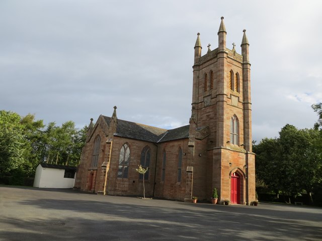
Sundrum Castle, located in Ayrshire, Scotland, is a historic heritage site that holds great significance in the region. The castle dates back to the 14th century and is a fine example of Scottish Baronial architecture. It was originally built by the Kennedy family, one of the most influential clans in Ayrshire.

The castle's architecture is impressive, featuring a tall tower house with turrets and battlements. It is constructed with local pink sandstone, giving it a distinctive appearance. Sundrum Castle has been well-preserved over the centuries, and its exterior still retains much of its original charm.

The castle is surrounded by beautiful gardens and a tranquil landscape, adding to its overall appeal. The gardens are meticulously maintained, offering visitors an opportunity to explore the lush greenery and enjoy the peaceful ambiance.

Throughout its history, Sundrum Castle has witnessed several transformations. It was used as a stronghold during the Wars of Independence and later served as a residence for various noble families. Today, the castle is privately owned and has been converted into luxurious self-catering holiday apartments.

Visitors to Sundrum Castle can immerse themselves in its rich history and experience the grandeur of a bygone era. The castle's interior is beautifully restored and furnished with period-style décor. Guests can stay in one of the apartments, which are equipped with modern amenities while still retaining their historic charm.

Sundrum Castle is not only a remarkable architectural gem but also an important heritage site that provides a glimpse into Scotland's past. Its picturesque setting, combined with its historical significance, makes it a must-visit destination for history enthusiasts and tourists alike.

If you have any feedback on the listing, please let us know in the comments section below.

Sundrum Castle Images

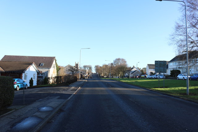
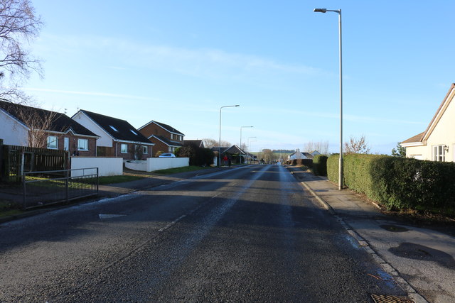
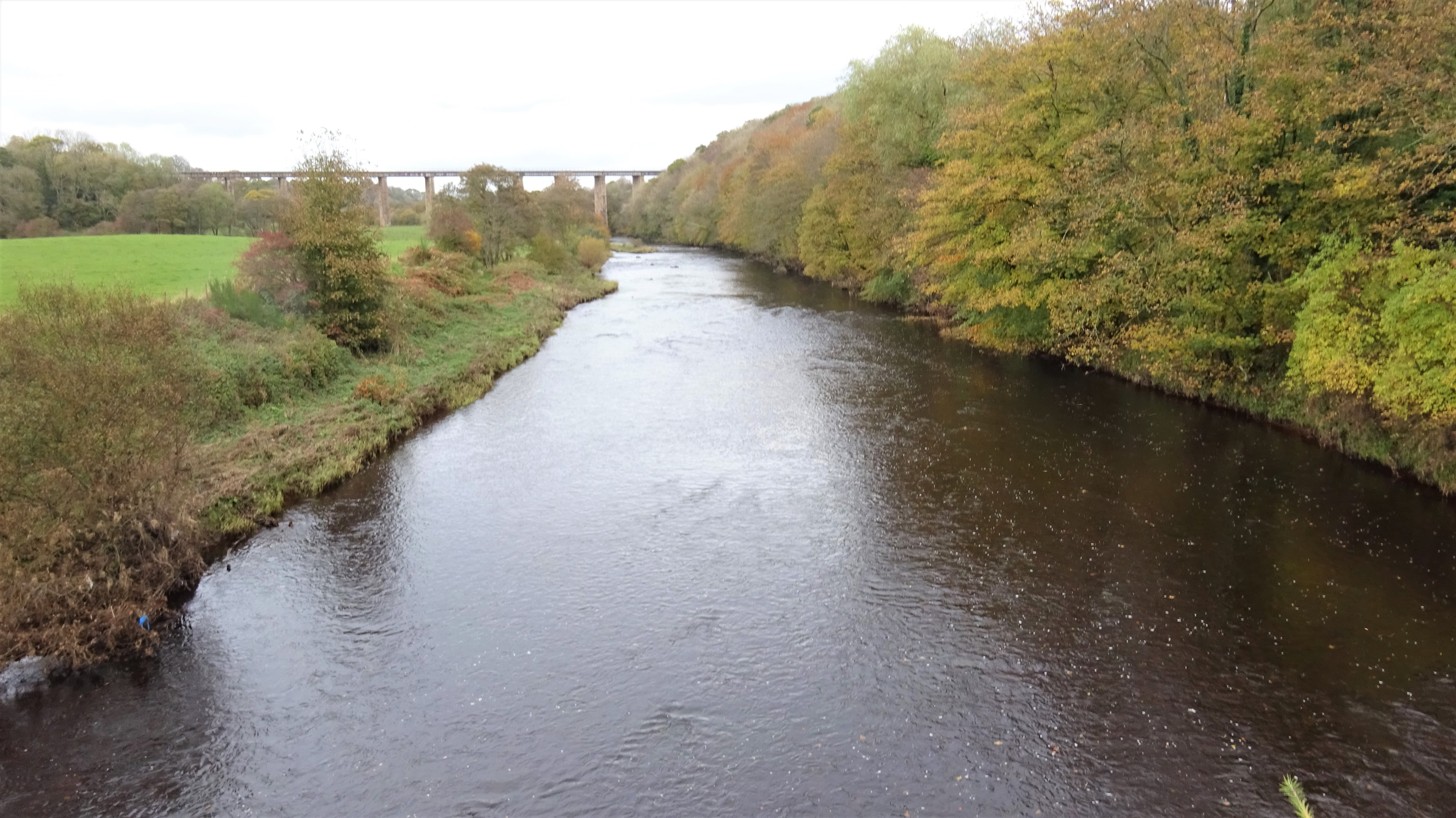
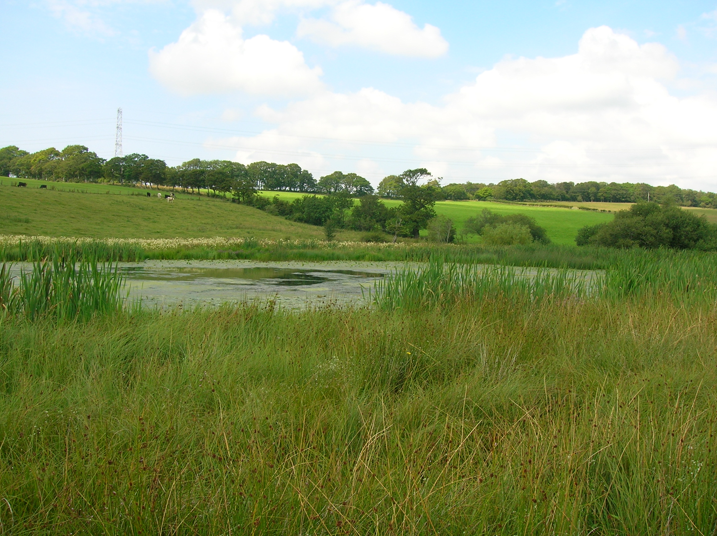
Images are sourced within 2km of 55.462/-4.507 or Grid Reference NS4121. Thanks to Geograph Open Source API. All images are credited.

Entering Coylton Coylton is a small village which straddles the A70.
Entering Coylton
Coylton is a small village which straddles the A70.
Still in Coylton There was a little gap with no houses but this still is part of Coylton as the tower visible on the left belongs to Coylton Parish Church.
Still in Coylton
There was a little gap with no houses but this still is part of Coylton as the tower visible on the left belongs to Coylton Parish Church.
Brown's Crescent, Annbank
B744 through Annbank
Ordnance Survey Flush Bracket G594 This can be found on the wall of Coylton Parish Church.
For more detail see : <span class="nowrap"><a title="http://www.bench-marks.org.uk/bm331" rel="nofollow ugc noopener" href="http://www.bench-marks.org.uk/bm331">Link</a><img style="margin-left:2px;" alt="External link" title="External link - shift click to open in new window" src="https://s1.geograph.org.uk/img/external.png" width="10" height="10"/></span>
Ordnance Survey Flush Bracket G594
This can be found on the wall of Coylton Parish Church. For more detail see : LinkExternal link
Coylton Parish Church Viewed from the south.
Coylton Parish Church
Viewed from the south.
Telephone box, Colyton On Arthurston Terrace beside the A70.
Telephone box, Colyton
On Arthurston Terrace beside the A70.
Bus on Ayr Road, Coylton Ayr bound bus on the A70.
Bus on Ayr Road, Coylton
Ayr bound bus on the A70.
Memorial Hall, Hillhead The building is dated 1909.
Memorial Hall, Hillhead
The building is dated 1909.
The A70 to Cumnock
The A70 to Cumnock
Thames Petrol, Coylton
Looking west along the A70 at Hillhead
A70 entering Hillhead
Joppa, New Year's Day
Shops at Joppa, New Year's Day Some were open.
Shops at Joppa, New Year's Day
Some were open.
Coylton, New Year's Day
Show me another place!

Sundrum Castle is located at Grid Ref: NS4121 (Lat: 55.462, Lng: -4.507)

Unitary Authority: South Ayrshire

Police Authority: Ayrshire

What 3 Words

///risky.across.cakewalk. Near Coylton, South Ayrshire

Related Wikis

Sundrum Castle

Sundrum Castle is a Scottish medieval castle located 1.5 kilometres (0.93 mi) north of Coylton, South Ayrshire, by the Water of Coyle river. It was built...

Castle and Barony of Gadgirth

The Castle and Barony of Gadgirth was held by the Chalmer family, originally De Camera, with successive castles and a mansion house overlooking the River...

Gadgirth Old Ha'

The castle known as Gadgirth Old Ha' or Gadgirth Old Hall, was the first castle at Gadgirth, held by the Chalmer family, standing on a whinstone promontory...

Lochend Loch (Coylton)

Lochend Loch, which once had nearly three acres in surface area is now only a small freshwater loch remnant. It lies in the South Ayrshire Council Area...

Nearby Amenities

Located within 500m of 55.462,-4.507
Power: pole
Lat/Long: 55.4644025/-4.500452
Power: pole
Lat/Long: 55.4645834/-4.5013183
Power: pole
Lat/Long: 55.4648052/-4.502429
Power: pole
Lat/Long: 55.465063/-4.5036188
Power: pole
Lat/Long: 55.4653348/-4.5049534
Power: pole
Lat/Long: 55.4655656/-4.5059916
Power: pole
Lat/Long: 55.4658439/-4.5073443
Power: pole
Lat/Long: 55.4661273/-4.5086812
Power: pole
Lat/Long: 55.4631131/-4.4995415
Power: pole
Lat/Long: 55.4635914/-4.5000346
Power: pole
Lat/Long: 55.4641429/-4.5005979
Power: pole
Lat/Long: 55.4646904/-4.5011883
Power: pole
Lat/Long: 55.4652739/-4.5017922
Power: pole
Lat/Long: 55.4619749/-4.5144719
Power: pole
Lat/Long: 55.4624187/-4.5135264
Power: pole
Lat/Long: 55.4630406/-4.5122099
Power: pole
Lat/Long: 55.4635254/-4.5111784
Power: pole
Lat/Long: 55.4639563/-4.5102759
Power: pole
Lat/Long: 55.4641486/-4.5084844
Power: pole
Lat/Long: 55.4645462/-4.50729
Power: pole
Lat/Long: 55.4650835/-4.5060753
Power: pole
Lat/Long: 55.4656759/-4.5047543
Power: pole
Lat/Long: 55.4633138/-4.5125401
Power: pole
Lat/Long: 55.4637921/-4.5131237
Power: pole
Lat/Long: 55.4637729/-4.5140625
The data included in this document is from www.openstreetmap.org. The data is made available under ODbL.

Have you been to Sundrum Castle?

Leave your review of Sundrum Castle below (or comments, questions and feedback).