Garden Wood
Downs, Moorland in Ayrshire
Scotland
Garden Wood

Garden Wood, located in Ayrshire, is a picturesque area characterized by its diverse landscape of downs and moorland. Covering an extensive area, it is a popular destination for nature enthusiasts seeking to explore the region's natural beauty.
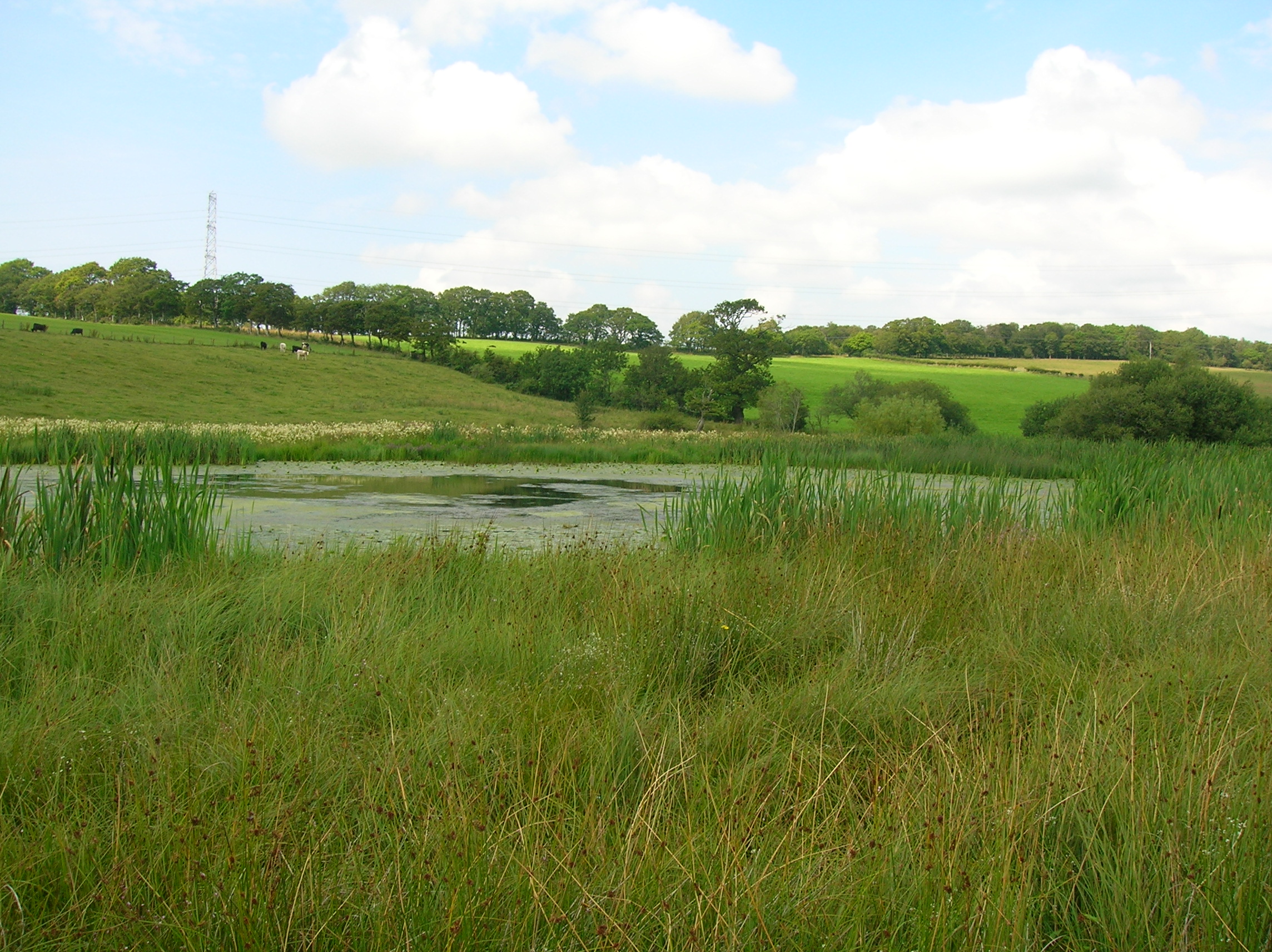
The downs in Garden Wood are gently rolling hills, covered in lush green grass and scattered with wildflowers during the spring and summer months. These undulating landscapes offer stunning panoramic views of the surrounding countryside, making it a haven for hikers and walkers looking to immerse themselves in the tranquility of nature.
Moorland, on the other hand, dominates a significant portion of Garden Wood. This type of land is characterized by its open, treeless expanse, covered in heather, mosses, and grasses. Moorland is known for its unique flora and fauna, including various species of birds, such as the red grouse and curlew, which can often be spotted in the area.
Garden Wood is also home to several walking trails and paths, providing visitors with the opportunity to explore the diverse landscapes at their leisure. These trails are well-maintained and offer a range of difficulty levels, catering to both casual strollers and experienced hikers.
Additionally, Garden Wood boasts a rich history, with ancient ruins and archaeological sites scattered throughout the area. These remnants of the past add a layer of intrigue and fascination to the natural beauty of the landscape, making it an enticing destination for history enthusiasts.
Overall, Garden Wood in Ayrshire offers a captivating blend of downs and moorland, providing visitors with a unique opportunity to immerse themselves in the natural wonders and historical significance of the region.
If you have any feedback on the listing, please let us know in the comments section below.
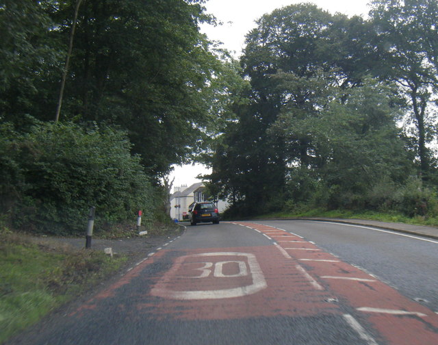
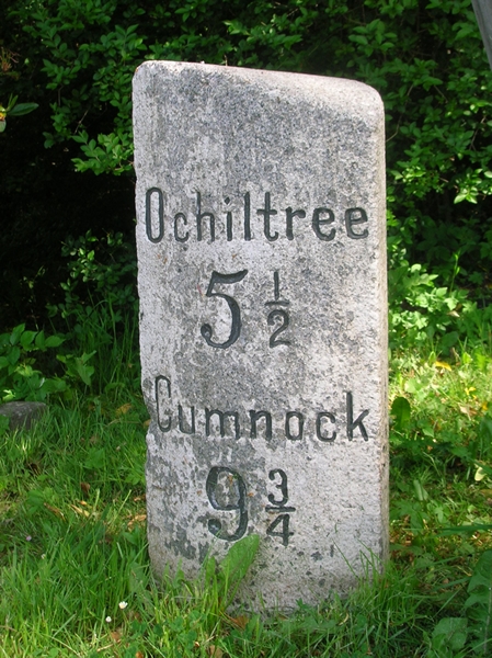
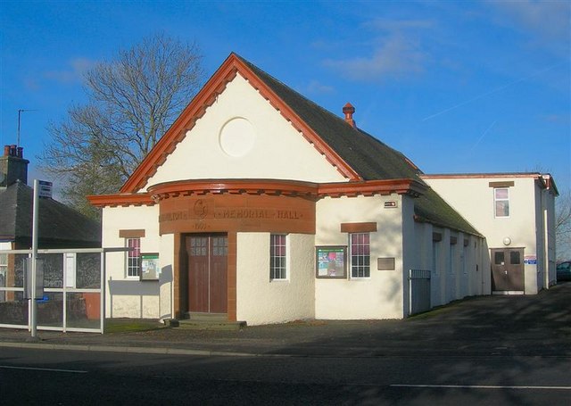
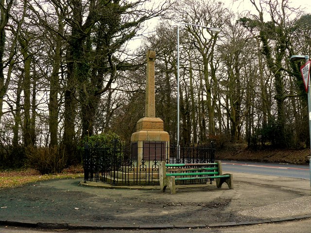
Garden Wood Images
Images are sourced within 2km of 55.462725/-4.5027971 or Grid Reference NS4121. Thanks to Geograph Open Source API. All images are credited.


Garden Wood is located at Grid Ref: NS4121 (Lat: 55.462725, Lng: -4.5027971)
Unitary Authority: South Ayrshire
Police Authority: Ayrshire
What 3 Words
///width.reserving.sway. Near Coylton, South Ayrshire
Nearby Locations
Related Wikis

Sundrum Castle
Sundrum Castle is a Scottish medieval castle located 1.5 kilometres (0.93 mi) north of Coylton, South Ayrshire, by the Water of Coyle river. It was built...
Castle and Barony of Gadgirth
The Castle and Barony of Gadgirth was held by the Chalmer family, originally De Camera, with successive castles and a mansion house overlooking the River...

Gadgirth Old Ha'
The castle known as Gadgirth Old Ha' or Gadgirth Old Hall, was the first castle at Gadgirth, held by the Chalmer family, standing on a whinstone promontory...
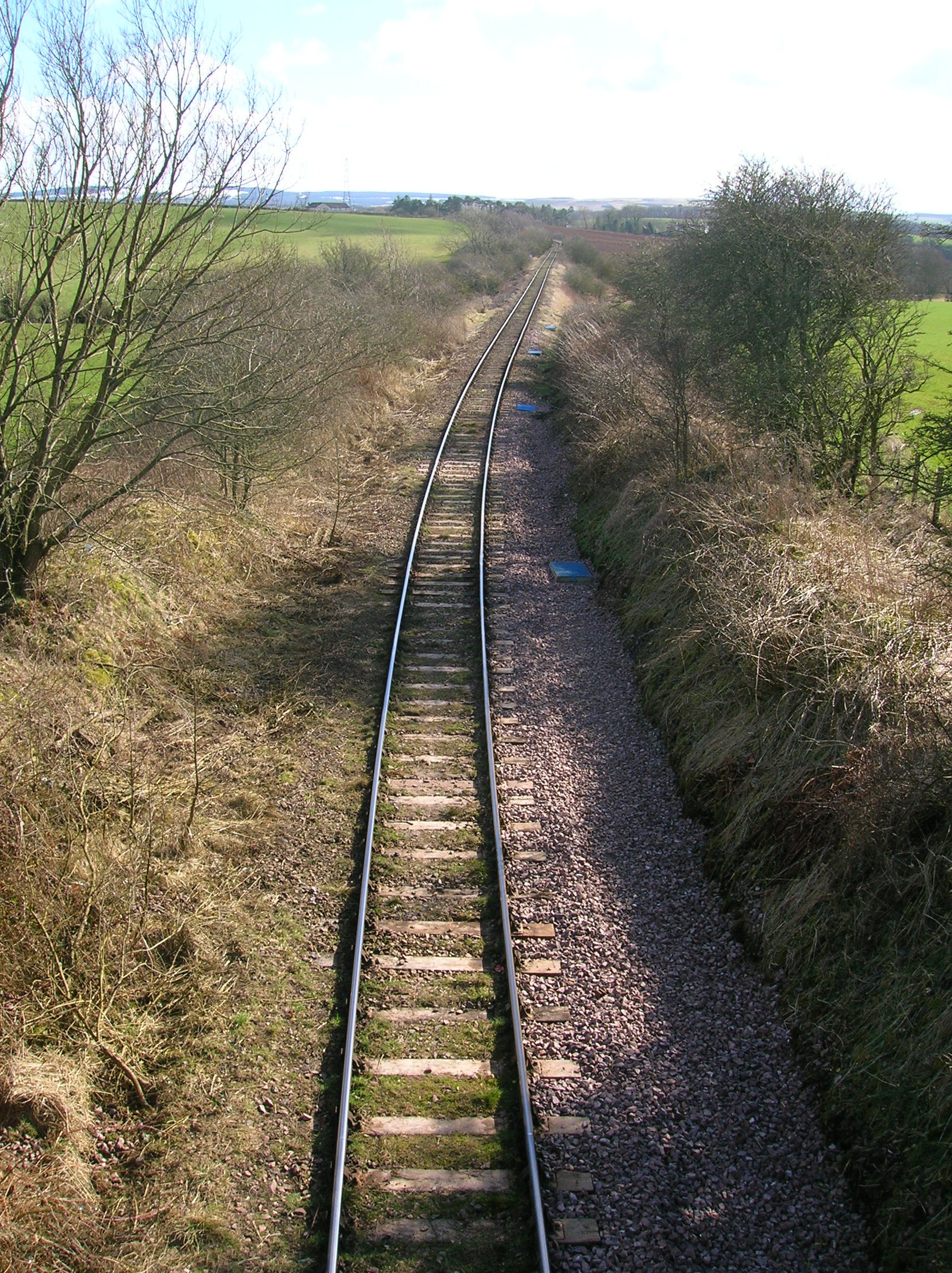
Trabboch railway station
Trabboch railway station (NS434218) was a railway station serving the village of Trabboch, East Ayrshire, Scotland. The station was originally part of...
Lochend Loch (Coylton)
Lochend Loch, which once had nearly three acres in surface area is now only a small freshwater loch remnant. It lies in the South Ayrshire Council Area...

Annbank
Annbank is a village in South Ayrshire, Scotland. It is around five miles east of Ayr. Originally a mining settlement, it once had a rail link to Ayr via...
Annbank United F.C.
Annbank United Football Club are a Scottish football club from Annbank, South Ayrshire. Formed in 1939, they are based at New Pebble Park and are nicknamed...

Weston Bridge Halt railway station
Weston Bridge Platform railway station or Weston Bridge Halt railway station was opened to serve miners travelling to the Ayr Colliery No. 9 Pit that stood...
Nearby Amenities
Located within 500m of 55.462725,-4.5027971Have you been to Garden Wood?
Leave your review of Garden Wood below (or comments, questions and feedback).