Ness Waterfall
Waterfall in Ayrshire
Scotland
Ness Waterfall
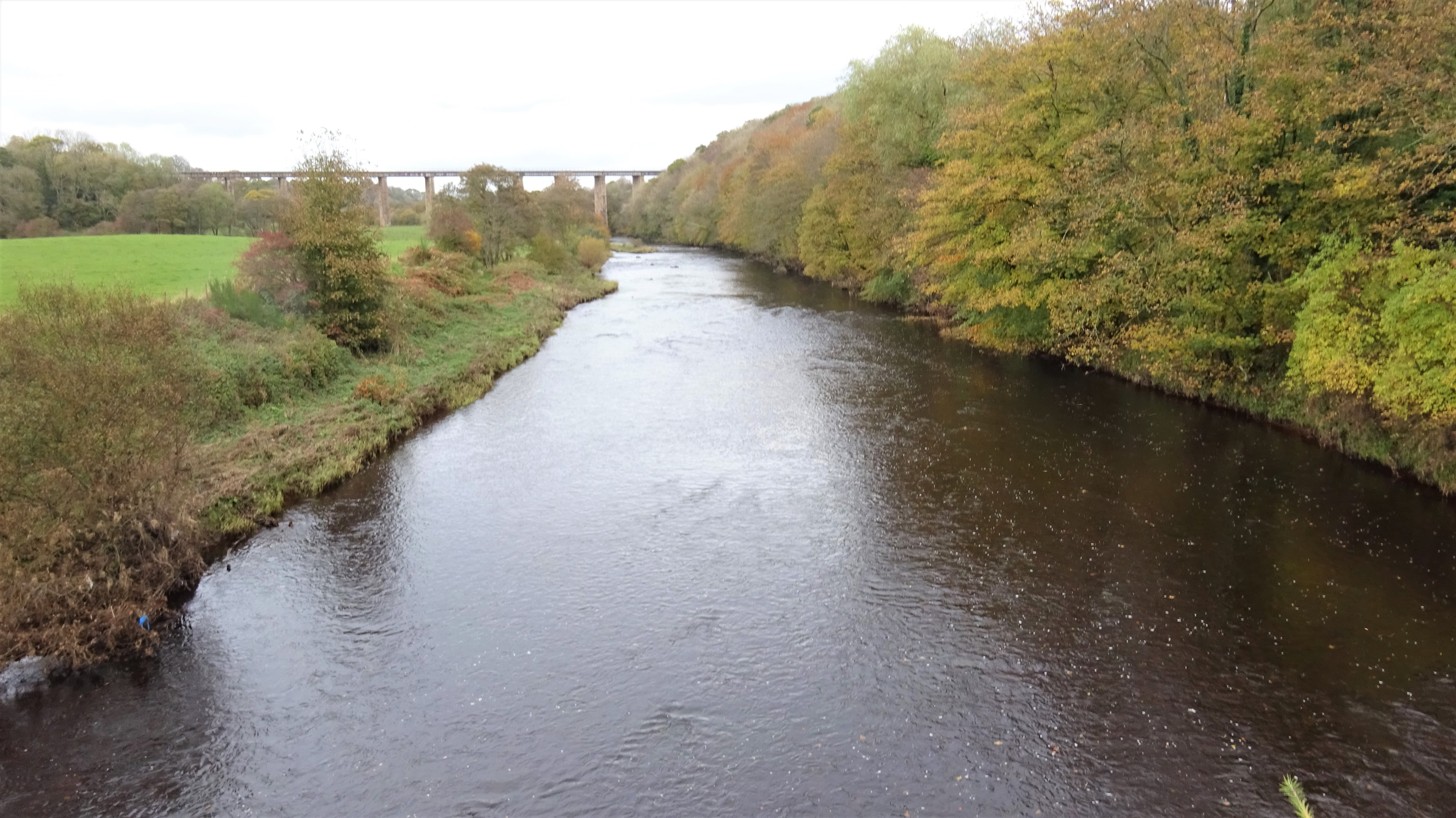
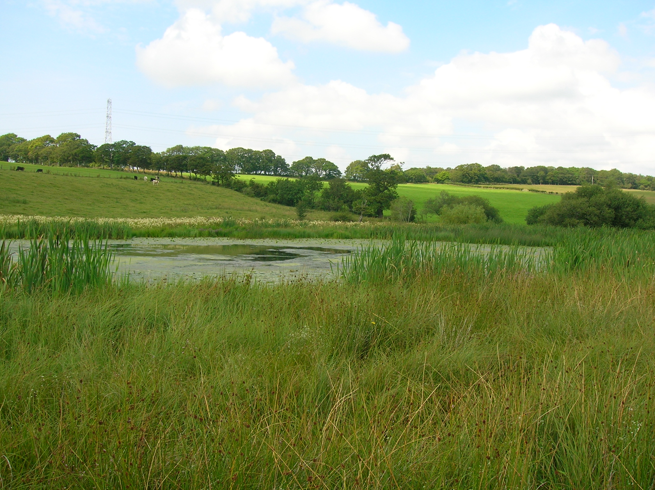
Ness Waterfall is a picturesque natural wonder situated in Ayrshire, Scotland. Nestled within the tranquil countryside, this stunning waterfall showcases the region's breathtaking beauty. Its location, near the village of Lugar, makes it easily accessible for visitors seeking to immerse themselves in nature's wonders.
The waterfall is formed by the swirling waters of the River Ness as it cascades down a series of rocky ledges, creating a mesmerizing spectacle. The rushing water, combined with the lush greenery that surrounds it, offers a truly enchanting view for all who visit.
At approximately 10 meters in height, Ness Waterfall is not the tallest waterfall in Scotland, but what it lacks in height, it makes up for in natural charm. The constant flow of water and the soothing sound it creates provide a sense of tranquility, making it a popular spot for nature lovers and those seeking a peaceful escape.
Visitors can enjoy a leisurely stroll along well-maintained pathways that wind their way through the surrounding woodland, leading to various viewpoints of the waterfall. These pathways also offer opportunities for birdwatching, as the area is home to a diverse range of avian species.
Whether it's for a leisurely walk, a picnic amidst nature's beauty, or simply a moment of quiet reflection, Ness Waterfall offers a serene escape from the hustle and bustle of everyday life. Its serene setting and captivating beauty make it a must-visit destination for anyone exploring the Ayrshire region.
If you have any feedback on the listing, please let us know in the comments section below.
Ness Waterfall Images
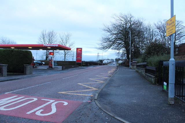
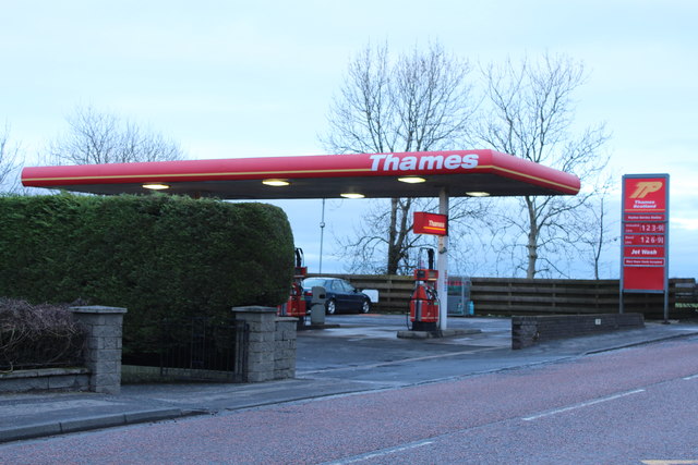
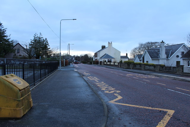
Images are sourced within 2km of 55.460981/-4.5146461 or Grid Reference NS4121. Thanks to Geograph Open Source API. All images are credited.


Ness Waterfall is located at Grid Ref: NS4121 (Lat: 55.460981, Lng: -4.5146461)
Unitary Authority: South Ayrshire
Police Authority: Ayrshire
What 3 Words
///animator.sock.rephrase. Near Coylton, South Ayrshire
Nearby Locations
Related Wikis

Sundrum Castle
Sundrum Castle is a Scottish medieval castle located 1.5 kilometres (0.93 mi) north of Coylton, South Ayrshire, by the Water of Coyle river. It was built...

Gadgirth Old Ha'
The castle known as Gadgirth Old Ha' or Gadgirth Old Hall, was the first castle at Gadgirth, held by the Chalmer family, standing on a whinstone promontory...
Castle and Barony of Gadgirth
The Castle and Barony of Gadgirth was held by the Chalmer family, originally De Camera, with successive castles and a mansion house overlooking the River...
Lochend Loch (Coylton)
Lochend Loch, which once had nearly three acres in surface area is now only a small freshwater loch remnant. It lies in the South Ayrshire Council Area...

Annbank
Annbank is a village in South Ayrshire, Scotland. It is around five miles east of Ayr. Originally a mining settlement, it once had a rail link to Ayr via...
Annbank United F.C.
Annbank United Football Club are a Scottish football club from Annbank, South Ayrshire. Formed in 1939, they are based at New Pebble Park and are nicknamed...
Coylton
Coylton (Scots: Culton) is a village and civil parish in South Ayrshire, Scotland. It is five miles (eight kilometres) east of Ayr and 2+1⁄2 miles (4 kilometres...

Joppa, South Ayrshire
Joppa is a former hamlet in South Ayrshire, Scotland, about one mile (1.5 kilometres) which now forms the eastern portion of the built-up part of Coylton...
Nearby Amenities
Located within 500m of 55.460981,-4.5146461Have you been to Ness Waterfall?
Leave your review of Ness Waterfall below (or comments, questions and feedback).