Beinn Rosail
Hill, Mountain in Sutherland
Scotland
Beinn Rosail

The requested URL returned error: 429 Too Many Requests
If you have any feedback on the listing, please let us know in the comments section below.
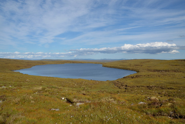
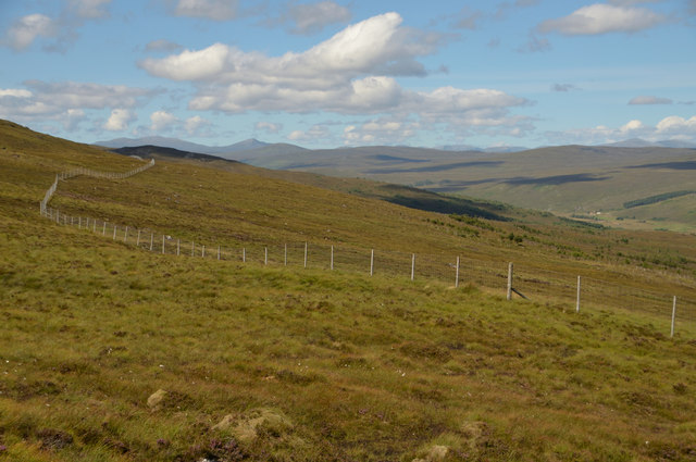
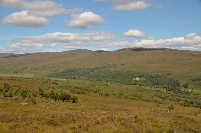
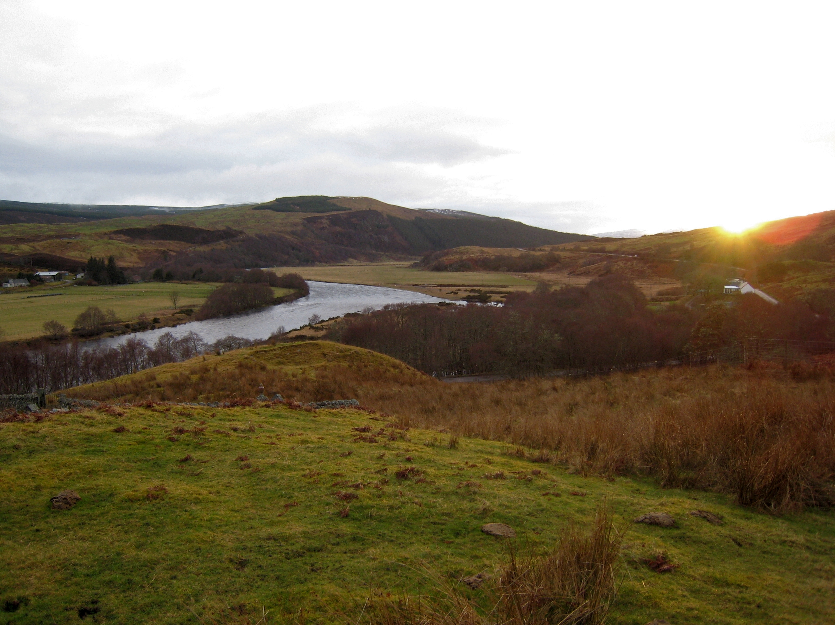
Beinn Rosail Images
Images are sourced within 2km of 58.020581/-4.6882846 or Grid Reference NC4106. Thanks to Geograph Open Source API. All images are credited.


Beinn Rosail is located at Grid Ref: NC4106 (Lat: 58.020581, Lng: -4.6882846)
Unitary Authority: Highland
Police Authority: Highlands and Islands
What 3 Words
///interrupt.sprouts.retained. Near Lairg, Highland
Nearby Locations
Related Wikis
Battle of Tuiteam Tarbhach
The Battle of Tuiteam Tarbhach (Scottish Gaelic: "plentiful slaughter"; also known as Tuttim–Tarwach, Tuttim–Turwigh, Tuttim–Tarwigh or Tutim Tarvach)...
River Oykel
The River Oykel (Scottish Gaelic: Òiceall or Abhainn Òiceall, pronounced [ˈa.ɪɲ ˈɔːçkʲəl̪ˠ]) is a major river in northern Scotland that is famous for its...

Achness Falls
Achness Falls, also known as the Achness Waterfall or Cassley Falls, is a waterfall located on the River Cassley in Sutherland, Scotland, near Rosehall...

Doune, Highland
Doune is a remote hamlet on the south bank of the River Oykel, situated 2 miles west of Rosehall and 5 miles east of Lubcroy, in Sutherland, Scottish Highlands...
Have you been to Beinn Rosail?
Leave your review of Beinn Rosail below (or comments, questions and feedback).