Cnoc Bad na Conaire
Hill, Mountain in Sutherland
Scotland
Cnoc Bad na Conaire
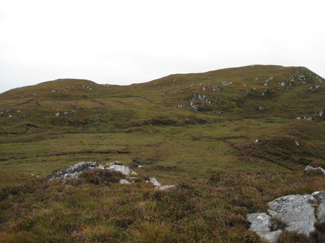
Cnoc Bad na Conaire is a prominent hill located in the county of Sutherland, in the northern part of Scotland. Situated in the parish of Eddrachillis, this hill is part of the wider North West Highlands Geopark. Cnoc Bad na Conaire, also known as "The Hill of the Hounds," is a popular destination for hikers and outdoor enthusiasts.
Standing at an elevation of approximately 550 meters (1,804 feet), Cnoc Bad na Conaire offers breathtaking panoramic views of the surrounding rugged landscape. The hill is characterized by its steep slopes and rocky terrain, making it a challenging but rewarding climb for experienced hikers. The ascent to the summit can be achieved via various routes, with some paths offering a more gradual incline while others provide a more direct and strenuous climb.
At the top of Cnoc Bad na Conaire, hikers are rewarded with stunning vistas of the nearby Assynt mountains, including Suilven and Quinag, as well as the picturesque coastline and the vast expanse of the Atlantic Ocean. On a clear day, it is also possible to see the distant peaks of the Torridon mountains to the south.
The hill is home to a diverse range of flora and fauna, including various species of wildflowers, heather, and mosses, as well as a variety of birdlife such as golden eagles, buzzards, and ptarmigans. The surrounding area is also known for its archaeological sites, with several ancient burial cairns and standing stones dating back thousands of years.
In summary, Cnoc Bad na Conaire is a captivating hill in Sutherland, Scotland, offering a challenging climb, stunning views, and a rich natural and historical heritage for visitors to explore.
If you have any feedback on the listing, please let us know in the comments section below.
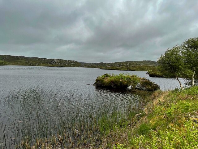
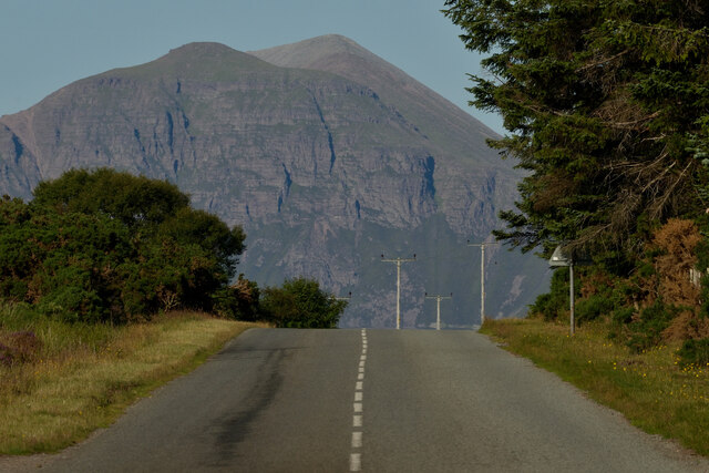
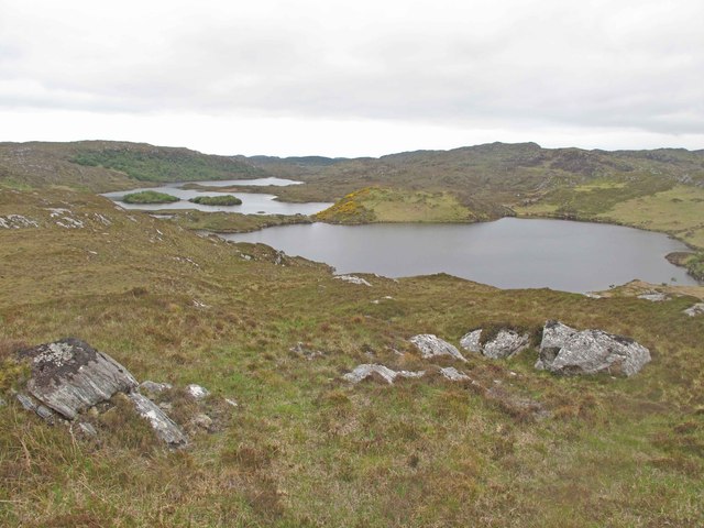
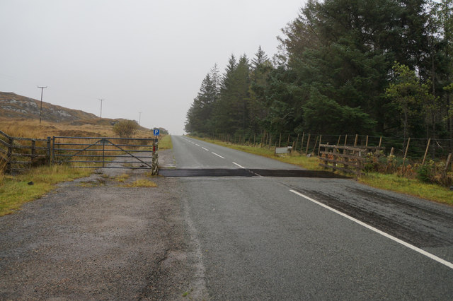
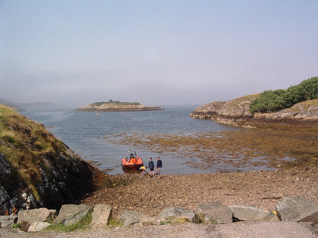
Cnoc Bad na Conaire Images
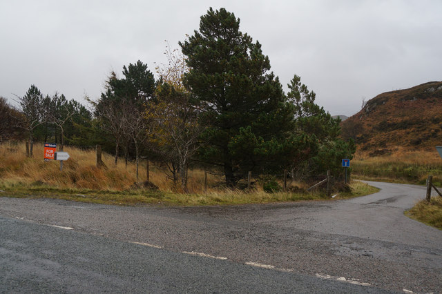
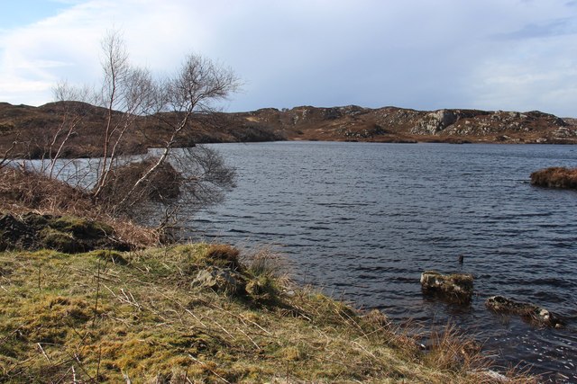
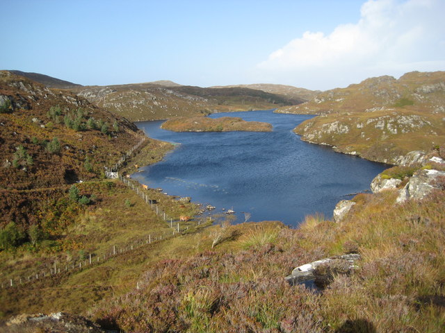
Images are sourced within 2km of 58.177014/-5.2163688 or Grid Reference NC1025. Thanks to Geograph Open Source API. All images are credited.


Cnoc Bad na Conaire is located at Grid Ref: NC1025 (Lat: 58.177014, Lng: -5.2163688)
Unitary Authority: Highland
Police Authority: Highlands and Islands
What 3 Words
///hopping.messy.scanty. Near Clachtoll, Highland
Nearby Locations
Related Wikis

Loch an Tuirc
Loch an Tuirc is a large irregular shaped, shallow loch, located about two miles north-by-north-east of Lochinver in the Assynt district of Sutherland...

Loch Cròcach, Lochinver
Loch Cròcach is a large irregular shaped, shallow loch, located about three miles north of Lochinver in the Assynt district of Sutherland, Highland, Scotland...

Loch Beannach, Assynt
Loch Beannach is a small v-shaped loch, located 2 miles to the west of Loch Assynt and 3 miles northeast of Lochinver within the Assynt area of Sutherland...

Loch Culag
Loch Culag also known as Loch na Doire Daraich is a small freshwater shallow loch, located south of Lochinver in the Assynt district of Sutherland, Highland...

Strathan, Sutherland
Strathan is a remote scattered coastal village, located in Bàgh an t-strathain Bay, which lies on the south shore of the sea loch, Loch Inver, in the Assynt...
Badnaban
Badnaban is a remote scattered coastal village, which lies on the south shore of the sea loch, Loch Inver, in the Assynt district of the west coast of...
Achmelvich
Achmelvich (Gaelic: Achadh Mhealbhaich) is a settlement situated in the Highland region of Scotland. The name comes from the Gaelic "Achadh" - a plain...

Loch Inver
Loch Inver is a 3.62-kilometre-long (1+61⁄64-nautical-mile) sea loch in Assynt, Sutherland and is on the northwest coast of Scotland. The loch meets the...
Have you been to Cnoc Bad na Conaire?
Leave your review of Cnoc Bad na Conaire below (or comments, questions and feedback).