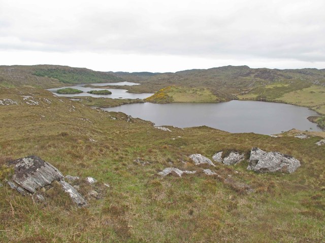
Loch Bad na Conaire

Lake, Pool, Pond, Freshwater Marsh in Sutherland

Scotland

Loch Bad na Conaire

Looking westwards along the River Inver A view of the river downstream before it descends to the sea at Loch Inver.
Looking westwards along the River Inver Credit: Jim Barton

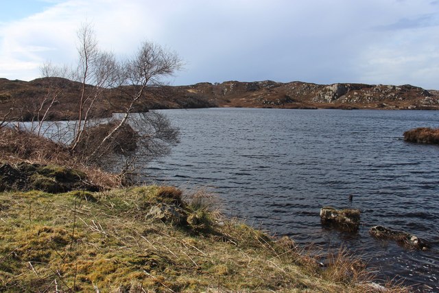
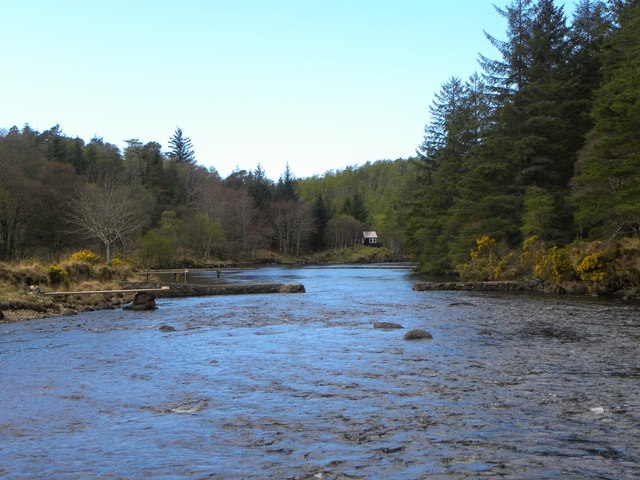
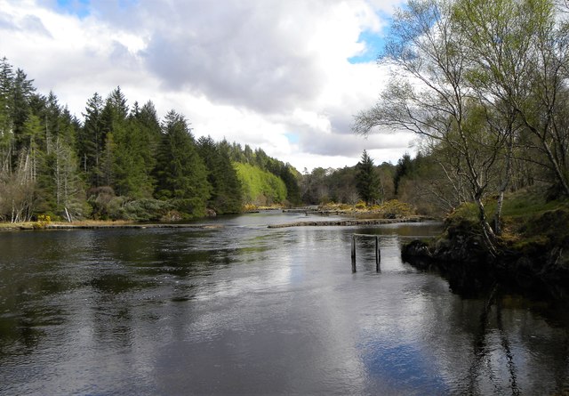
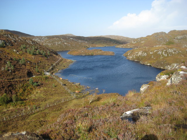
Loch Bad na Conaire is a picturesque freshwater loch located in the county of Sutherland, in the northernmost part of Scotland. Nestled amidst the stunning Highland landscape, this body of water stretches over an area of approximately 2 square kilometers.

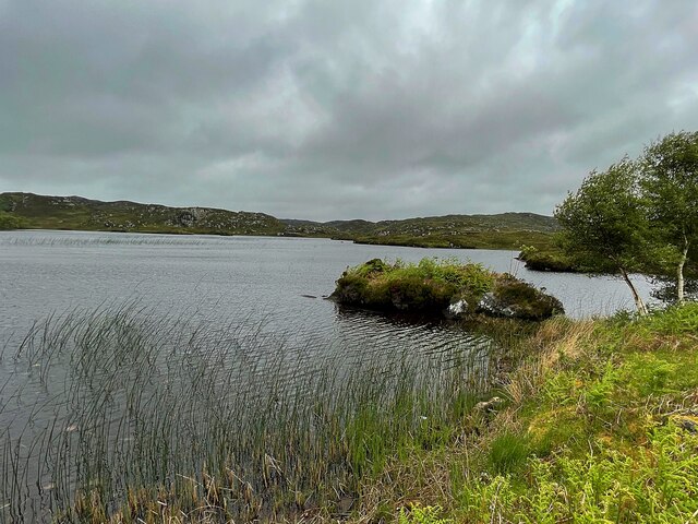
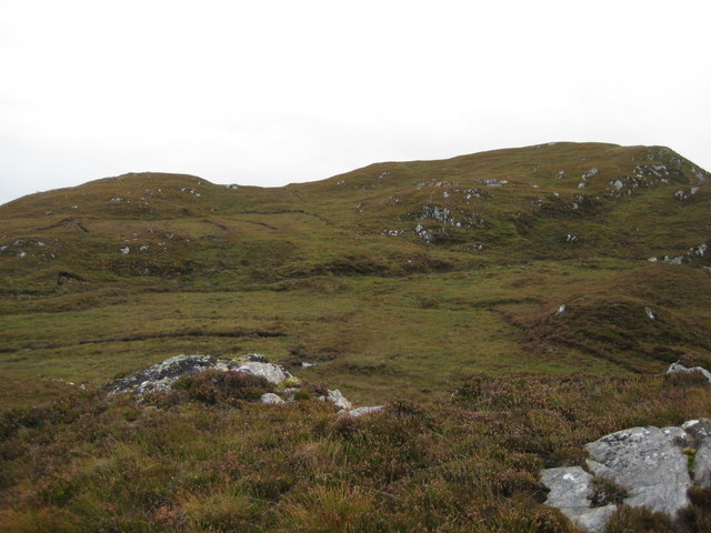
Surrounded by rolling hills and verdant moorlands, Loch Bad na Conaire is known for its tranquil and serene atmosphere. The loch itself is of medium size and has a maximum depth of around 20 meters. Its water is clear and pristine, reflecting the surrounding landscape with remarkable clarity.

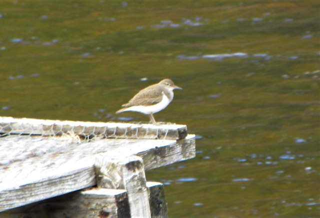
The shores of Loch Bad na Conaire are fringed with lush vegetation, including reeds, grasses, and various aquatic plants, which provide a habitat for a diverse range of wildlife. Birdwatchers are particularly drawn to the loch, as it serves as a haven for numerous bird species, such as swans, ducks, and geese. The loch's marshy areas also attract smaller bird species, including warblers and waders.

Fishing enthusiasts are attracted to Loch Bad na Conaire, as it is home to a variety of fish, including brown trout and perch. Anglers can be seen casting their lines in the hopes of catching a prized specimen.

Overall, Loch Bad na Conaire offers visitors a peaceful retreat in the heart of the Scottish Highlands. Its natural beauty, abundant wildlife, and opportunities for outdoor activities make it a popular destination for nature lovers and those seeking a tranquil escape from the hustle and bustle of everyday life.

If you have any feedback on the listing, please let us know in the comments section below.

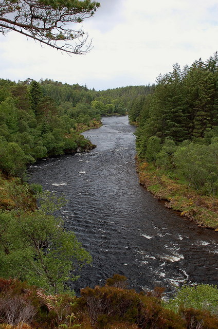
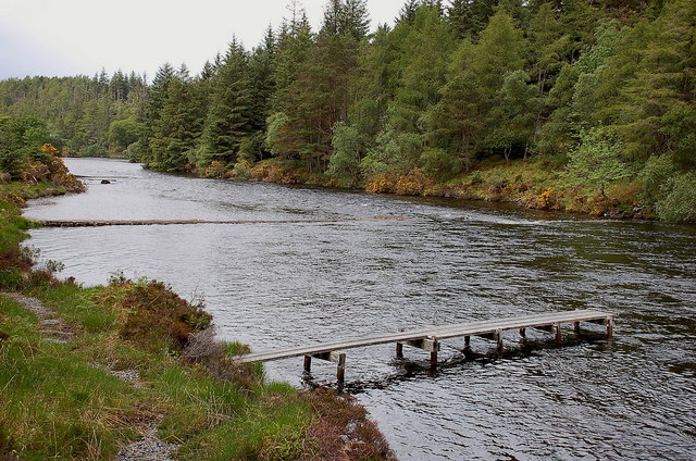
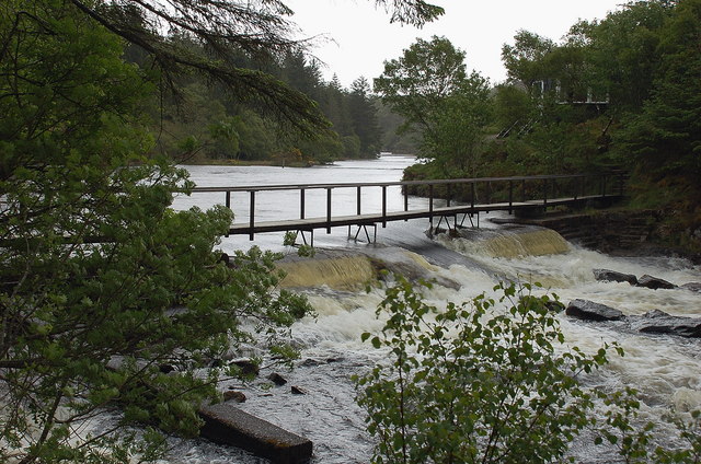
Loch Bad na Conaire Images

Images are sourced within 2km of 58.176135/-5.2212741 or Grid Reference NC1025. Thanks to Geograph Open Source API. All images are credited.

Looking westwards along the River Inver A view of the river downstream before it descends to the sea at Loch Inver.
Looking westwards along the River Inver
A view of the river downstream before it descends to the sea at Loch Inver.
Fishing jetty and weirs, River Inver There are several weirs along this level stretch of the river, with fishing places.
Fishing jetty and weirs, River Inver
There are several weirs along this level stretch of the river, with fishing places.
Footbridge and weir, River Inver Plenty of water here after wet weather in the NW Highlands. An elegant fishing hut is just visible through the trees on the other bank.
Footbridge and weir, River Inver
Plenty of water here after wet weather in the NW Highlands. An elegant fishing hut is just visible through the trees on the other bank.
An Ruadh Loch Looking west across An Ruadh Loch during a brief spell of good weather.
An Ruadh Loch
Looking west across An Ruadh Loch during a brief spell of good weather.
Towards Lochan Cuilce Looking east-north-east towards Lochan Cuilce and Loch Bad nan Aighean. Moorland covered in heather with many bedrock outcrops.
Towards Lochan Cuilce
Looking east-north-east towards Lochan Cuilce and Loch Bad nan Aighean. Moorland covered in heather with many bedrock outcrops.
Loch an Tuir Loch an Tuir with Loch an Tuirc lying beyond it.
Loch an Tuir
Loch an Tuir with Loch an Tuirc lying beyond it.
Droighneach Ruins The remains of the former settlement of Droighneach.
Droighneach Ruins
The remains of the former settlement of Droighneach.
Cattle grid on the A837 near Cnoc an Tolla Bhaid
Road leading to Brackloch
Loch nan Eun
Loch nan Eun
Common Sandpiper by the river This little wader obligingly posed on one of the fishing piers on the River Inver.
Common Sandpiper by the river
This little wader obligingly posed on one of the fishing piers on the River Inver.
Fishing piers on the Inver There are a number of timber and stone piers built out into the River Inver for the convenience of salmon fishermen.
Fishing piers on the Inver
There are a number of timber and stone piers built out into the River Inver for the convenience of salmon fishermen.
Upstream along the Inver This section of the river is relatively wide, shallow and slow running. There are both timber and stone piers to be seen either side of the river.
Upstream along the Inver
This section of the river is relatively wide, shallow and slow running. There are both timber and stone piers to be seen either side of the river.
Loch nan Eun A small loch beside the A837
Loch nan Eun
A small loch beside the A837
A Highland Road on the NC500, the A837 near Lochinver, Sutherland View looking east along the A837 as it leaves Lochinver towards Ullapool and the South.  Part of the NC500 tourist route, the A837 is an important route for transporting fish landed at Lochinver to Britain and the European continent.  The mountain in the background is Quinag, one of the impressive rocky peaks of the Assynt region in north western Scotland.
A Highland Road on the NC500, the A837 near Lochinver, Sutherland
View looking east along the A837 as it leaves Lochinver towards Ullapool and the South. Part of the NC500 tourist route, the A837 is an important route for transporting fish landed at Lochinver to Britain and the European continent. The mountain in the background is Quinag, one of the impressive rocky peaks of the Assynt region in north western Scotland.
River Inver
River Inver
Southern end of Loch Crocach One of the larger lochs in this landscape of Lewissian gneiss and water
Southern end of Loch Crocach
One of the larger lochs in this landscape of Lewissian gneiss and water
Un-named spot heights 160/129m The highest point in this grid square of Lewissian gneiss landscape
Un-named spot heights 160/129m
The highest point in this grid square of Lewissian gneiss landscape
Show me another place!

Loch Bad na Conaire is located at Grid Ref: NC1025 (Lat: 58.176135, Lng: -5.2212741)

Unitary Authority: Highland

Police Authority: Highlands and Islands

What 3 Words

///fairy.stumble.harmlessly. Near Clachtoll, Highland

Related Wikis

Loch an Tuirc

Loch an Tuirc is a large irregular shaped, shallow loch, located about two miles north-by-north-east of Lochinver in the Assynt district of Sutherland...

Loch Cròcach, Lochinver

Loch Cròcach is a large irregular shaped, shallow loch, located about three miles north of Lochinver in the Assynt district of Sutherland, Highland, Scotland...

Loch Beannach, Assynt

Loch Beannach is a small v-shaped loch, located 2 miles to the west of Loch Assynt and 3 miles northeast of Lochinver within the Assynt area of Sutherland...

Loch Culag

Loch Culag also known as Loch na Doire Daraich is a small freshwater shallow loch, located south of Lochinver in the Assynt district of Sutherland, Highland...

Have you been to Loch Bad na Conaire?

Leave your review of Loch Bad na Conaire below (or comments, questions and feedback).