Brigie Hill
Hill, Mountain in Wigtownshire
Scotland
Brigie Hill
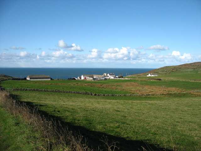
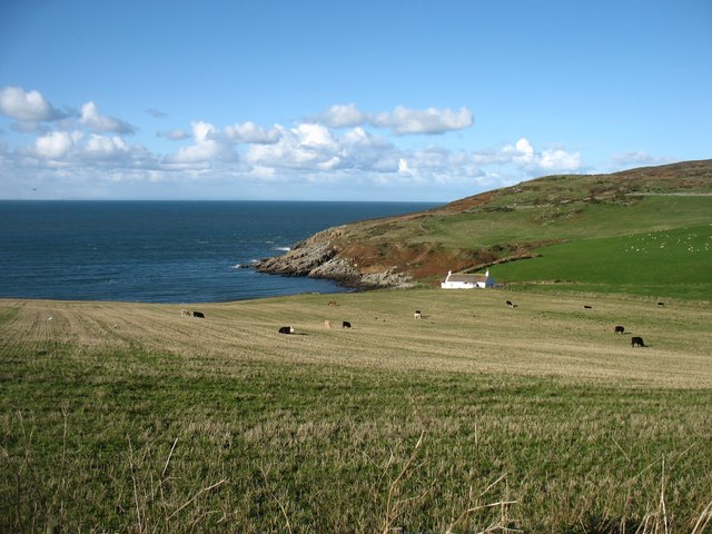
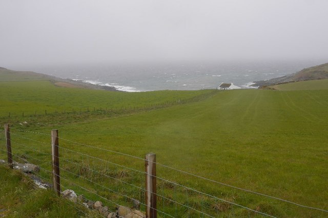
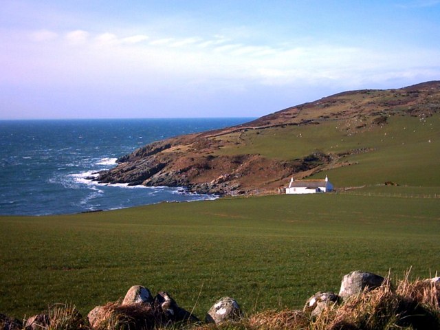
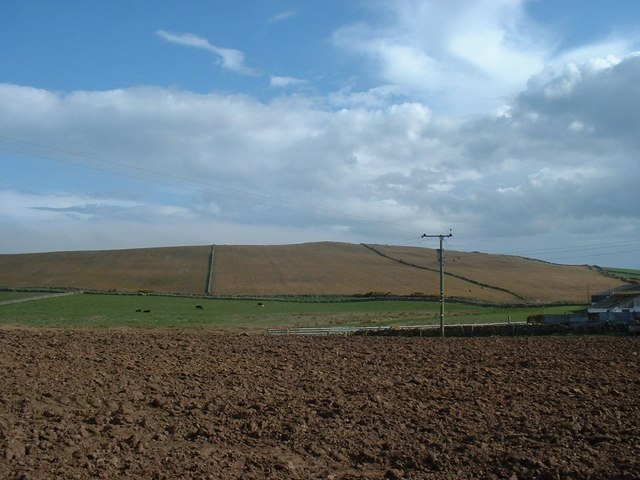
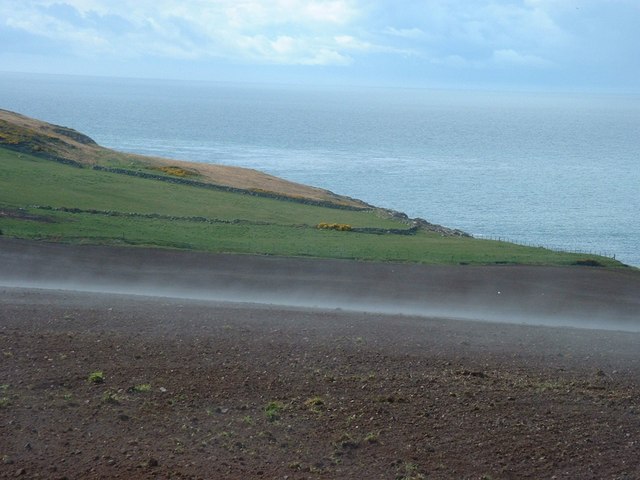
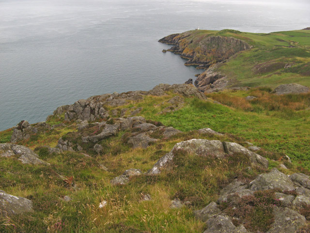
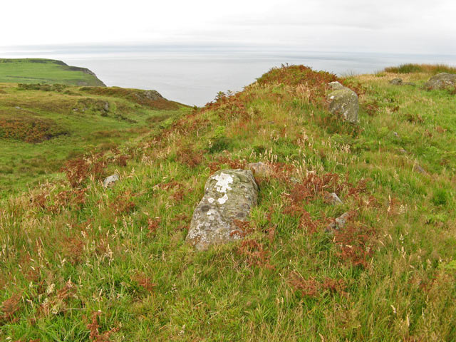
Brigie Hill, located in Wigtownshire, is a prominent hill/mountain that stands at an elevation of approximately 288 meters (945 feet) above sea level. Situated near the village of Sorbie, the hill offers stunning panoramic views of the surrounding countryside and the Irish Sea. It is a popular destination for hikers and nature enthusiasts, attracting visitors from both the local area and beyond.
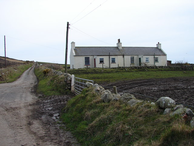
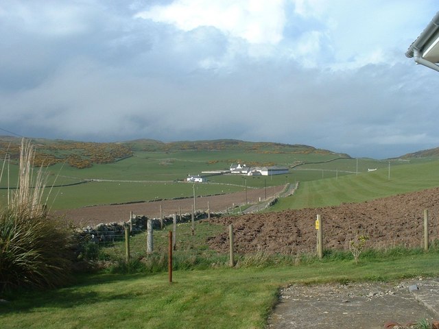
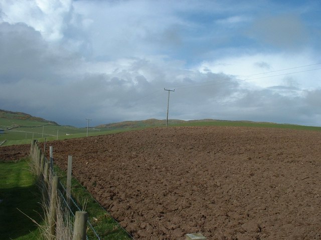
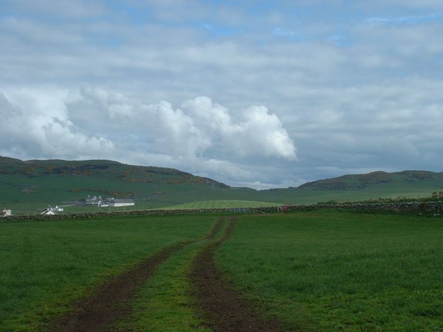
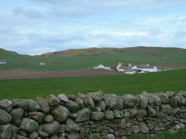
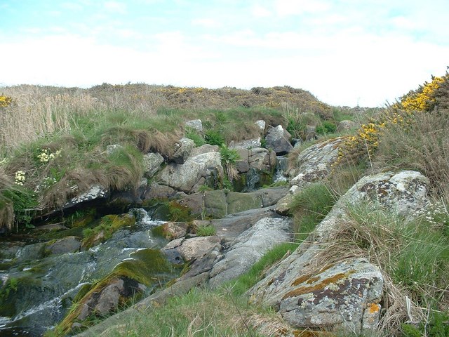
The hill is known for its diverse flora and fauna, with various species of wildflowers, birds, and insects calling it home. The surrounding area is predominantly agricultural, consisting of rolling green fields and scattered farmhouses. This creates a picturesque backdrop against which the hill stands in all its glory.
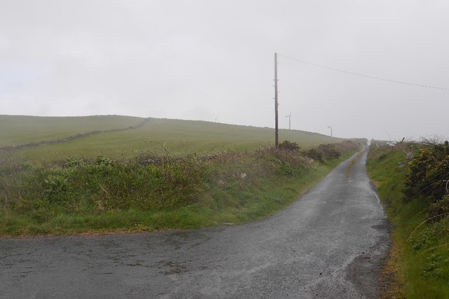
Brigie Hill is easily accessible, with several footpaths leading to its summit. Hikers can enjoy a relatively easy ascent, thanks to the well-maintained trails. Once atop, they are rewarded with breathtaking views of the Galloway Hills, the Isle of Man, and on clear days, even the Mourne Mountains in Northern Ireland.
The hill is also steeped in history, with evidence of ancient settlements and fortifications found in the vicinity. Archaeological excavations have revealed artifacts dating back to the Iron Age, suggesting human activity in the area for thousands of years.
Overall, Brigie Hill in Wigtownshire offers a fantastic opportunity to immerse oneself in nature, enjoy scenic beauty, and explore the rich historical heritage of the region.
If you have any feedback on the listing, please let us know in the comments section below.
Brigie Hill Images
Images are sourced within 2km of 54.674617/-4.9335384 or Grid Reference NX1035. Thanks to Geograph Open Source API. All images are credited.


Brigie Hill is located at Grid Ref: NX1035 (Lat: 54.674617, Lng: -4.9335384)
Unitary Authority: Dumfries and Galloway
Police Authority: Dumfries and Galloway
What 3 Words
///layover.intruding.client. Near Drummore, Dumfries & Galloway
Nearby Locations
Related Wikis

Kirkmaiden (village)
Kirkmaiden (sometimes Maidenkirk; Scottish Gaelic: Cill M'Eudan) is a small settlement in Galloway, Scotland, located approximately 17 miles (27 km) south...
Kirkmaiden
Kirkmaiden is a parish in the Rhins of Galloway, the most southerly in Scotland; the present Church of Scotland parish has the same name as and is approximately...
Drummore
Drummore (drum-ORE; (from Gaelic An Druim Mòr meaning "the great ridge") is the southernmost village in Scotland, located at the southern end of the Rhins...
Cairngaan
Cairngaan, Wigtownshire, is the southmost settlement in Scotland. The hamlet of Cairngaan lies just north of the Mull of Galloway (which contains Scotland...

Port Logan
Port Logan, formerly Port Nessock, is a small village in the parish of Kirkmaiden in the Rhins of Galloway in Wigtownshire. The Gaelic name is Port Neasaig...

Mull of Galloway
The Mull of Galloway (Scottish Gaelic: Maol nan Gall, pronounced [mɯːlˠ̪ nəŋ ˈkaulˠ̪]; grid reference NX158303) is the southernmost point of Scotland....

Logan Botanic Garden
Logan Botanic Garden is a botanical garden near Port Logan on the Rhins of Galloway, at the south-western tip of Scotland. The Botanic Garden was established...
Have you been to Brigie Hill?
Leave your review of Brigie Hill below (or comments, questions and feedback).