Knocking Stone Hill

Hill, Mountain in Wigtownshire

Scotland

Knocking Stone Hill

Arched Rock bed at Portdown bay
Arched Rock bed at Portdown bay Credit: Tony Page

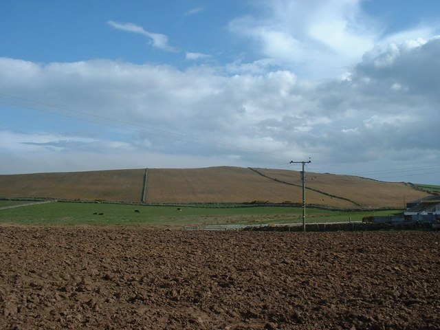
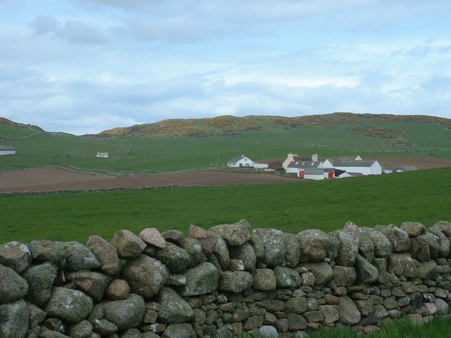
Knocking Stone Hill is a prominent hill located in the picturesque region of Wigtownshire, Scotland. Situated near the village of Whithorn, the hill offers breathtaking panoramic views of the surrounding landscape and the Irish Sea. It stands at an impressive height of approximately 246 meters (807 feet), making it an attractive destination for hikers, nature enthusiasts, and adventure seekers alike.

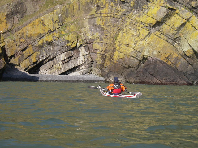
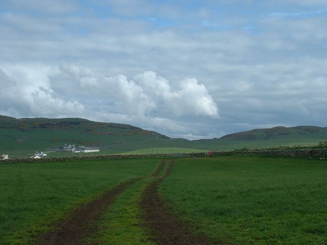
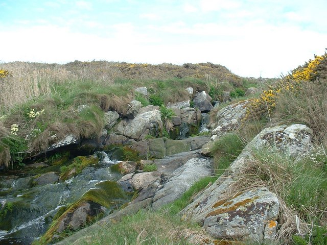
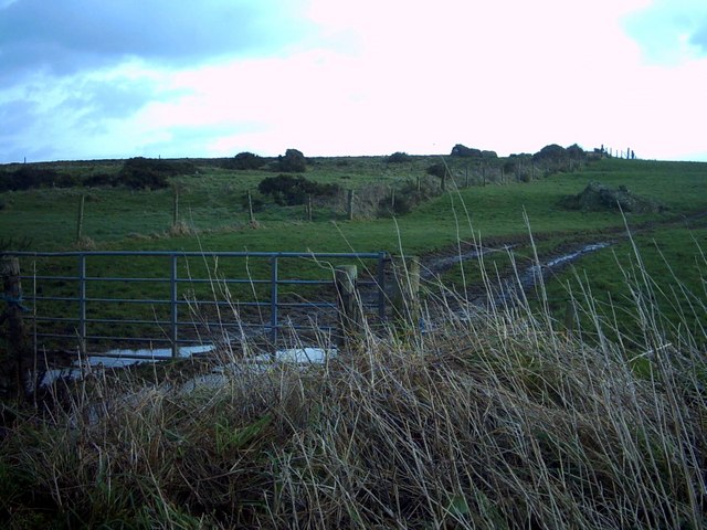
The ascent to the summit of Knocking Stone Hill is relatively moderate, with well-maintained paths and trails leading visitors through diverse flora and fauna. As one climbs higher, the hill unveils its stunning geological features, including exposed rock formations and small caves, adding an element of intrigue to the journey.

At the top of the hill, the Knocking Stone, from which the hill derives its name, can be found. This ancient standing stone is steeped in history and folklore. Legend has it that knocking on the stone three times will bring good luck to the person who does so. The stone itself is believed to date back to the Bronze Age, adding a sense of historical significance to the site.

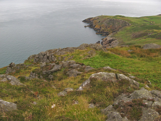
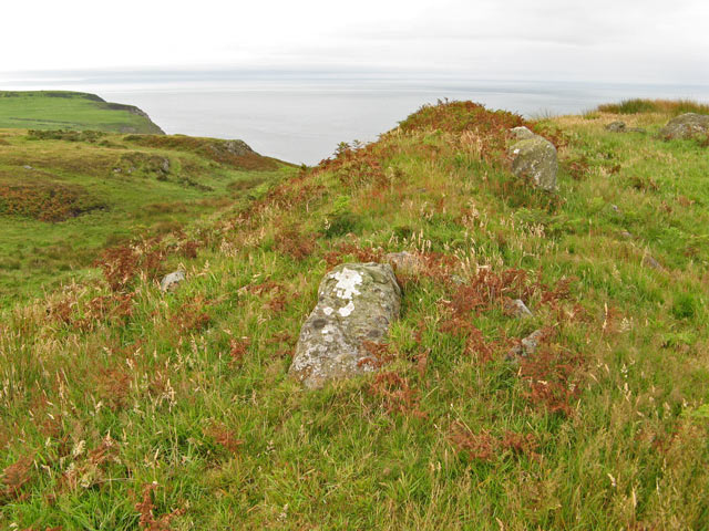
The views from the summit are truly awe-inspiring, offering unobstructed vistas of rolling hills, lush green valleys, and the sparkling waters of the Irish Sea. On clear days, it is even possible to catch a glimpse of the distant Isle of Man.

Knocking Stone Hill is a must-visit destination for those seeking a tranquil escape in the heart of nature, offering a perfect blend of natural beauty, historical intrigue, and breathtaking views.

If you have any feedback on the listing, please let us know in the comments section below.

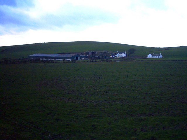
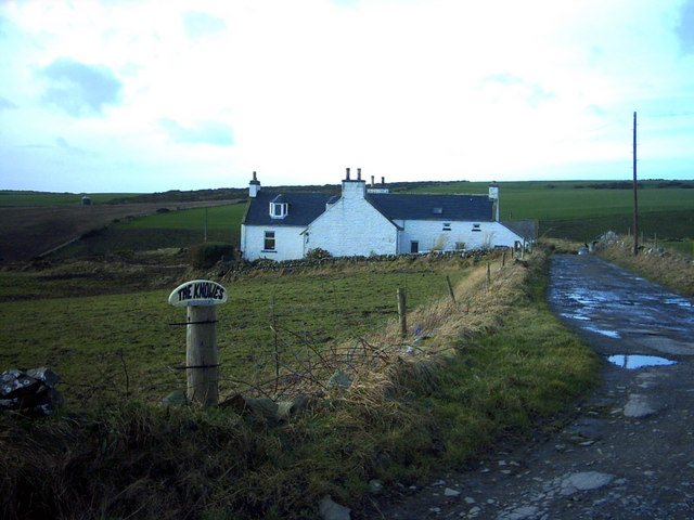
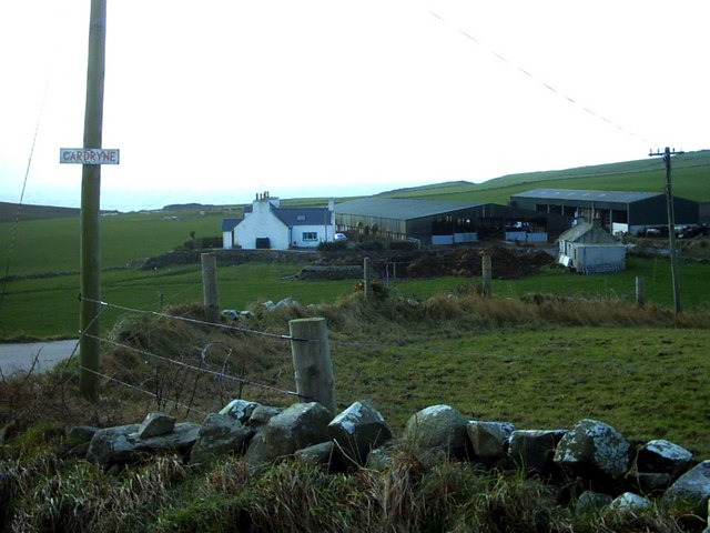
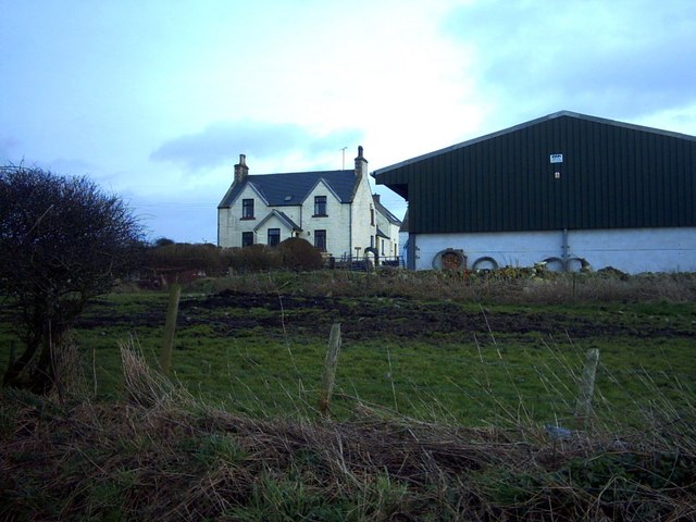
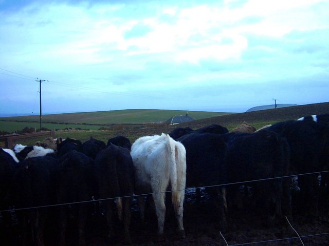
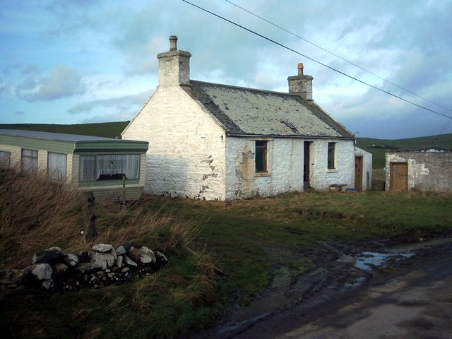
Knocking Stone Hill Images

Images are sourced within 2km of 54.660483/-4.9328293 or Grid Reference NX1033. Thanks to Geograph Open Source API. All images are credited.

Arched Rock bed at Portdown bay
Fields by Knockencule With outbuildings of Knockencule Farm to right.
Fields by Knockencule
With outbuildings of Knockencule Farm to right.
Towards Mull of Galloway From south side of newly erected lighthouse at Crammag Head along western coast line of South Rhinns with Isle of Mann visible on far horizon.
Towards Mull of Galloway
From south side of newly erected lighthouse at Crammag Head along western coast line of South Rhinns with Isle of Mann visible on far horizon.
Stone wall with field gate Dry stone wall with field gate in middle distance, Barncorkrie Farm to left with Barncorkrie Moor in left background, Cairn fell right background and valley between.
Stone wall with field gate
Dry stone wall with field gate in middle distance, Barncorkrie Farm to left with Barncorkrie Moor in left background, Cairn fell right background and valley between.
Moss on dry stone wall Different types of moss and lichen on drystone field wall by Multea Burn towards Inshanks Farm with Inshanks Fell behind.
Moss on dry stone wall
Different types of moss and lichen on drystone field wall by Multea Burn towards Inshanks Farm with Inshanks Fell behind.
Multea Burn Multea Burn below Stockmill, with primrose in bloom on far bank.
Multea Burn
Multea Burn below Stockmill, with primrose in bloom on far bank.
Coast view from Dunman The headland of Dunman makes a high viwepoint with spectacular cliffs. This is the view to the northwest, towards Little Dunman and the dramatic inlet of Sloucheen Slunk. In the next square can be seen the lighthouse on Crammag Head <a href="https://www.geograph.org.uk/photo/1867781">NX0834 : New lighthouse at Crammag Head</a>.
Coast view from Dunman
The headland of Dunman makes a high viwepoint with spectacular cliffs. This is the view to the northwest, towards Little Dunman and the dramatic inlet of Sloucheen Slunk. In the next square can be seen the lighthouse on Crammag Head NX0834 : New lighthouse at Crammag Head.
Dunman fort It proved impossible to find a viewpoint that does justice to this fine piece of fortification on the aptly named hill of Dunman, since it is the highest point around. Quite a lot of rock protrudes from the southern rampart which follows a distinct cleft in the hill. The fort commands a fine view of the North Channel as it is situated above formidable cliffs.
Dunman fort
It proved impossible to find a viewpoint that does justice to this fine piece of fortification on the aptly named hill of Dunman, since it is the highest point around. Quite a lot of rock protrudes from the southern rampart which follows a distinct cleft in the hill. The fort commands a fine view of the North Channel as it is situated above formidable cliffs.
Portdown Bay A vertiginous drop down a gully from the sheep path at the edge of the cliffs leads to the optimistically-named Portdown Bay.
Portdown Bay
A vertiginous drop down a gully from the sheep path at the edge of the cliffs leads to the optimistically-named Portdown Bay.
Creechan Moor
Creechan Moor
Mid Muntloch Farm The farm has surely one of the longest barns in existence?  The hill behind the farm is Slewhabble.
Mid Muntloch Farm
The farm has surely one of the longest barns in existence? The hill behind the farm is Slewhabble.
Knowes Farm The Knowes translates as 'the knolls' in the ancient Scottish language.  There is certainly a surfeit of grassy knolls in the area.
Knowes Farm
The Knowes translates as 'the knolls' in the ancient Scottish language. There is certainly a surfeit of grassy knolls in the area.
Cardryne Farm Owing to the decline in profitability of dairy farming Cardryne, like many other local dairy farms, is currently for sale.
Cardryne Farm
Owing to the decline in profitability of dairy farming Cardryne, like many other local dairy farms, is currently for sale.
Knock Knowe 'Knock' is a Scottish variant of 'clock'.  A 'Knowe' is a knoll in the Scottish language.  I have no idea why this hill is so named.  It appears to be a completely featureless, muddy, ploughed object.
Knock Knowe
'Knock' is a Scottish variant of 'clock'. A 'Knowe' is a knoll in the Scottish language. I have no idea why this hill is so named. It appears to be a completely featureless, muddy, ploughed object.
East Muntloch Farm East Muntloch is one of the farms locally to have diversified into offering holiday and B&B accommodation.
East Muntloch Farm
East Muntloch is one of the farms locally to have diversified into offering holiday and B&B accommodation.
Pulinkum Farm and Slewmag Just the roof of buildings on Pulinkum Farm can be seen.  The hill behind is Slewmag, and the Mull of Galloway can be seen in the distance on the right of the picture.
Pulinkum Farm and Slewmag
Just the roof of buildings on Pulinkum Farm can be seen. The hill behind is Slewmag, and the Mull of Galloway can be seen in the distance on the right of the picture.
Knowes Cottage One of many local farm cottages awaiting sympathetic restoration.
Knowes Cottage
One of many local farm cottages awaiting sympathetic restoration.
Rocky Coastline, on the Rhins of Galloway
Show me another place!

Knocking Stone Hill is located at Grid Ref: NX1033 (Lat: 54.660483, Lng: -4.9328293)

Unitary Authority: Dumfries and Galloway

Police Authority: Dumfries and Galloway

What 3 Words

///voter.panicking.shocked. Near Drummore, Dumfries & Galloway

Related Wikis

Cairngaan

Cairngaan, Wigtownshire, is the southmost settlement in Scotland. The hamlet of Cairngaan lies just north of the Mull of Galloway (which contains Scotland...

Kirkmaiden (village)

Kirkmaiden (sometimes Maidenkirk; Scottish Gaelic: Cill M'Eudan) is a small settlement in Galloway, Scotland, located approximately 17 miles (27 km) south...

Kirkmaiden

Kirkmaiden is a parish in the Rhins of Galloway, the most southerly in Scotland; the present Church of Scotland parish has the same name as and is approximately...

Drummore

Drummore (drum-ORE; (from Gaelic An Druim Mòr meaning "the great ridge") is the southernmost village in Scotland, located at the southern end of the Rhins...

Mull of Galloway

The Mull of Galloway (Scottish Gaelic: Maol nan Gall, pronounced [mɯːlˠ̪ nəŋ ˈkaulˠ̪]; grid reference NX158303) is the southernmost point of Scotland....

Port Logan

Port Logan, formerly Port Nessock, is a small village in the parish of Kirkmaiden in the Rhins of Galloway in Wigtownshire. The Gaelic name is Port Neasaig...

Pasages (steam trawler)

ST Pasages (FD 119) was originally a Canadian "Castle" – TR series minesweeping trawler built by the Dominion Shipbuilding Company, Toronto, in 1917 for...

Logan Botanic Garden

Logan Botanic Garden is a botanical garden near Port Logan on the Rhins of Galloway, at the south-western tip of Scotland. The Botanic Garden was established...

Nearby Amenities

Located within 500m of 54.660483,-4.9328293
Power: pole
Lat/Long: 54.6635742/-4.9282193
Power: pole
Lat/Long: 54.6629132/-4.9288402
Power: pole
Lat/Long: 54.6622455/-4.9294688
Power: pole
Lat/Long: 54.6615699/-4.9299674
Power: pole
Lat/Long: 54.6610941/-4.9302953
Auchneight
Place: farm
Lat/Long: 54.6610457/-4.9314213
The data included in this document is from www.openstreetmap.org. The data is made available under ODbL.

Have you been to Knocking Stone Hill?

Leave your review of Knocking Stone Hill below (or comments, questions and feedback).