An Creachan
Hill, Mountain in Argyllshire
Scotland
An Creachan
An Creachan is a prominent hill located in Argyllshire, Scotland. It is part of the Creachan Hill range, which stretches across the western region of the country. Standing at an elevation of 827 meters (2,713 feet), it is a popular destination for hikers, mountaineers, and nature enthusiasts.
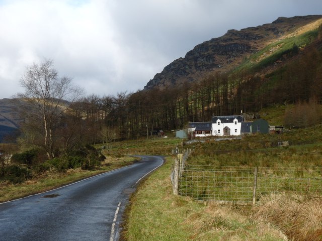
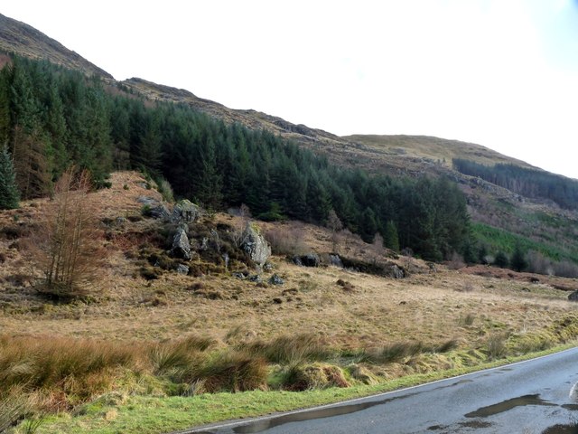
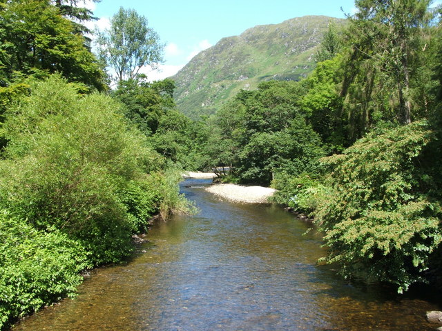
The hill is known for its stunning views and diverse flora and fauna. Its slopes are covered with heathland, grass, and scattered trees, providing a habitat for various species of birds, mammals, and insects. The surrounding landscape is characterized by rugged terrain, deep valleys, and rocky outcrops, creating a dramatic and picturesque setting.
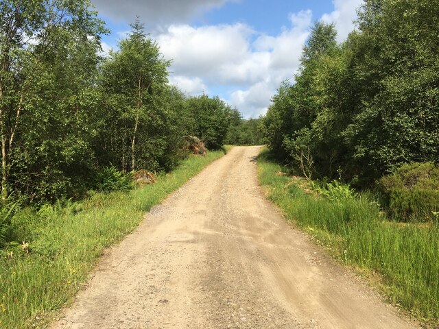
An Creachan offers several hiking trails that cater to different levels of experience. One of the most popular routes is the Creachan Hill Path, which takes visitors through a mixture of open moorland and woodland. Along the way, hikers can enjoy breathtaking vistas of Loch Etive and the surrounding mountains.
The hill is also a great spot for birdwatching, with sightings of golden eagles, peregrine falcons, and red kites being relatively common. Additionally, during the summer months, the hillside is adorned with colorful wildflowers, adding to its natural beauty.
With its accessibility and diverse natural features, An Creachan attracts outdoor enthusiasts throughout the year. Whether seeking a challenging climb or a peaceful hike, visitors to this hill in Argyllshire are guaranteed a memorable experience in the heart of Scotland's scenic wilderness.
If you have any feedback on the listing, please let us know in the comments section below.
An Creachan Images
Images are sourced within 2km of 56.02797/-5.0352164 or Grid Reference NS1085. Thanks to Geograph Open Source API. All images are credited.


An Creachan is located at Grid Ref: NS1085 (Lat: 56.02797, Lng: -5.0352164)
Unitary Authority: Argyll and Bute
Police Authority: Argyll and West Dunbartonshire
What 3 Words
///warned.trim.resurgent. Near Sandbank, Argyll & Bute
Nearby Locations
Related Wikis

Cowal
Cowal (Scottish Gaelic: Comhghall) is a rugged peninsula in Argyll and Bute, on the west coast of Scotland. It is bounded on the west by Loch Fyne and...

Glen Lean
Glen Lean, in Argyll and Bute, Scotland, is an glacial-formed glen, with near vertical sides along part of the landform. It runs from the head of the Holy...
River Eachaig
The River Eachaig is a river on the Cowal peninsula, Argyll and Bute, in western Scotland. The river flows from Loch Eck to the Holy Loch, passing Benmore...

Benmore Botanic Garden
Benmore Botanic Garden (formerly known as the Younger Botanic Garden) is a large botanical garden situated in Strath Eachaig at the foot of Beinn Mhòr...
Nearby Amenities
Located within 500m of 56.02797,-5.0352164Have you been to An Creachan?
Leave your review of An Creachan below (or comments, questions and feedback).