Cairn Fell

Hill, Mountain in Wigtownshire

Scotland

Cairn Fell

Fields above Knockencule Farm On the west coast of the Rhins.
Fields above Knockencule Farm Credit: David Purchase

Cairn Fell is a prominent hill located in Wigtownshire, southwestern Scotland. Rising to an elevation of 711 meters (2,333 feet), it is categorized as a mountain. Situated within the Galloway Forest Park, Cairn Fell is part of the Galloway Hills range, which is known for its picturesque landscapes and rich biodiversity.

The hill is characterized by its rounded summit, which is covered in heather and grasses, giving it a distinctive appearance. From the top, visitors can enjoy breathtaking panoramic views of the surrounding countryside, including the nearby Merrick, which is the highest peak in southern Scotland.

Cairn Fell is a popular destination for outdoor enthusiasts, offering various recreational activities. Hiking and walking trails traverse the hill, providing opportunities for both leisurely strolls and challenging treks. The terrain is relatively gentle, making it accessible to a wide range of abilities.

The hill is also home to a diverse array of flora and fauna. The surrounding Galloway Forest Park is renowned for its dark skies and is designated as a Dark Sky Park, making it an ideal spot for stargazing. Wildlife enthusiasts may spot red deer, mountain hares, and various bird species, including the elusive golden eagle.

Overall, Cairn Fell is a stunning natural landmark that offers visitors a chance to immerse themselves in the beauty of the Scottish countryside while enjoying outdoor activities and appreciating the diverse ecosystems that thrive on its slopes.

If you have any feedback on the listing, please let us know in the comments section below.
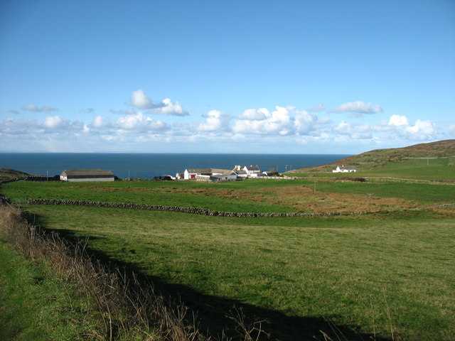
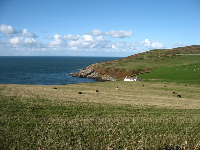
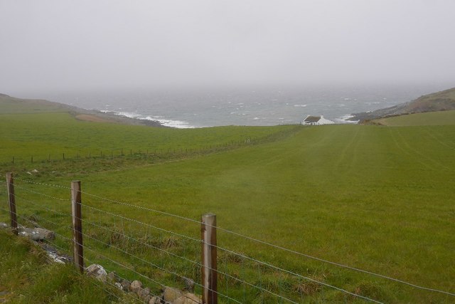
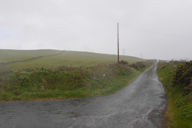
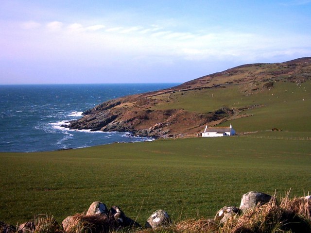
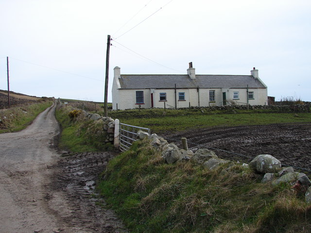
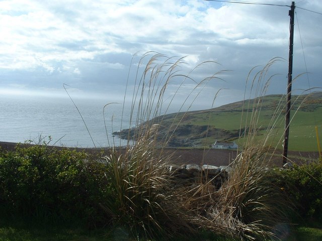
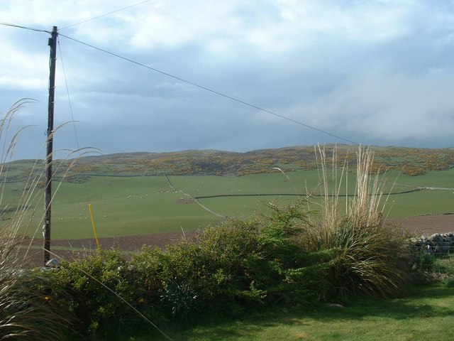
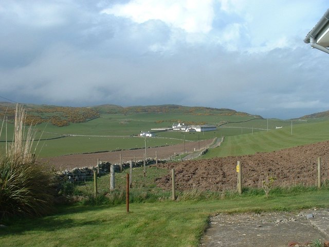
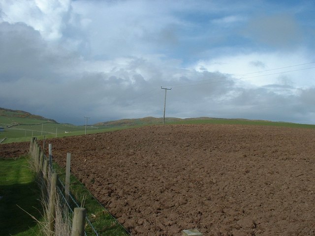
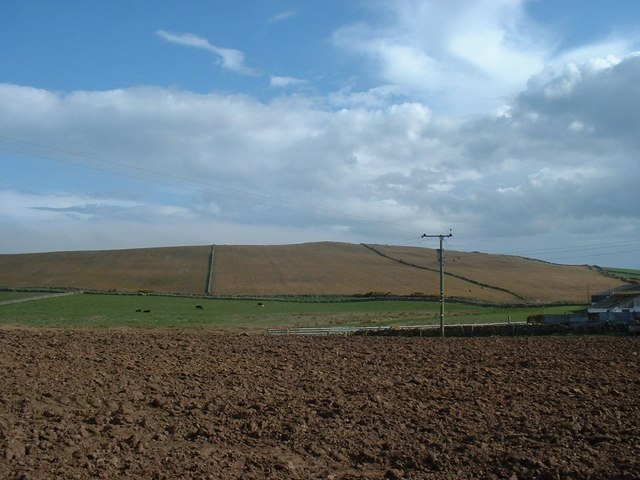
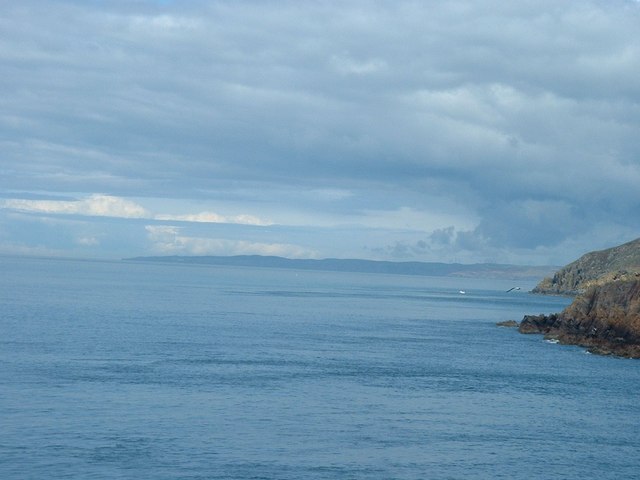
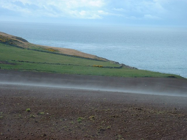
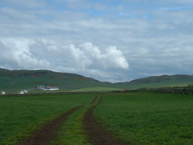
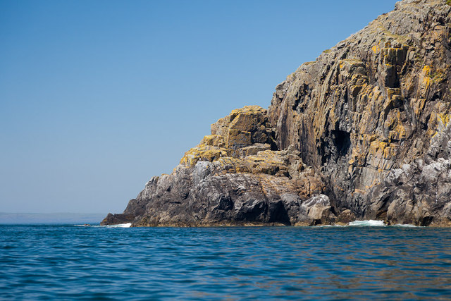
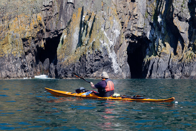
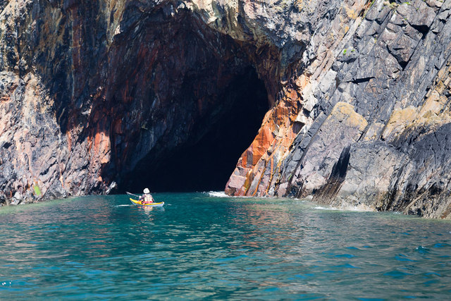
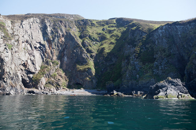
Cairn Fell Images

Images are sourced within 2km of 54.684394/-4.9437408 or Grid Reference NX1036. Thanks to Geograph Open Source API. All images are credited.

Fields above Knockencule Farm On the west coast of the Rhins.
Fields above Knockencule Farm
On the west coast of the Rhins.
The west shore of The Rhins Bay House in view, just right of centre.
The west shore of The Rhins
Bay House in view, just right of centre.
Bay House The bay is Portencorkrie. The west side of the Rhins is wild and there is a gale blowing out to sea.
Bay House
The bay is Portencorkrie. The west side of the Rhins is wild and there is a gale blowing out to sea.
Road to Slockmill Serving scattered dwellings on the exposed west coast of the Rhins of Galloway.
Road to Slockmill
Serving scattered dwellings on the exposed west coast of the Rhins of Galloway.
Bay House, Portencorkrie An idyllic traditional Galloway cottage above Portencorkrie Bay.
Bay House, Portencorkrie
An idyllic traditional Galloway cottage above Portencorkrie Bay.
Knockencule Cottages Farm cottages at Knockencule in the remote south-west corner of South Rhins.
Knockencule Cottages
Farm cottages at Knockencule in the remote south-west corner of South Rhins.
North End Portencorkrie Bay The beach side house is now boarded up and abandoned.
North End Portencorkrie Bay
The beach side house is now boarded up and abandoned.
Towards Barncorkrie Moor The gorse on the hillside glows brightly against the new spring grass in the sheep pasture.
Towards Barncorkrie Moor
The gorse on the hillside glows brightly against the new spring grass in the sheep pasture.
Barncorkrie Farm With Barncorkrie Moor behind and the minor road to Inshanks Fell in front.
Barncorkrie Farm
With Barncorkrie Moor behind and the minor road to Inshanks Fell in front.
Fields towards Cairn Fell With Barncorkrie Moor to left.
Fields towards Cairn Fell
With Barncorkrie Moor to left.
Fields by Knockencule With outbuildings of Knockencule Farm to right.
Fields by Knockencule
With outbuildings of Knockencule Farm to right.
View north from Crammag Head From north side of new lighthouse, with Laggantalluch Head middle right and Black Head, beyond Portpatrick in left far distance.
View north from Crammag Head
From north side of new lighthouse, with Laggantalluch Head middle right and Black Head, beyond Portpatrick in left far distance.
Har forming at Knockencule Har mist forming over freshly planted barley field.
Har forming at Knockencule
Har mist forming over freshly planted barley field.
Stone wall with field gate Dry stone wall with field gate in middle distance, Barncorkrie Farm to left with Barncorkrie Moor in left background, Cairn fell right background and valley between.
Stone wall with field gate
Dry stone wall with field gate in middle distance, Barncorkrie Farm to left with Barncorkrie Moor in left background, Cairn fell right background and valley between.
Laggantalluch Head Laggantalluch Head from the south, taken on a sea kayak trip from East Tarbet to Port Logan round the Mull of Galloway.
Laggantalluch Head
Laggantalluch Head from the south, taken on a sea kayak trip from East Tarbet to Port Logan round the Mull of Galloway.
Yellow Horse caves, Laggantalluch Head Yellow Horse caves, Laggantalluch Head, taken on a sea kayaking trip from East Tarbet to Port Logan.
Yellow Horse caves, Laggantalluch Head
Yellow Horse caves, Laggantalluch Head, taken on a sea kayaking trip from East Tarbet to Port Logan.
Cave of the Saddle, Gounie Head Cave of the Saddle, Gounie Head, taken on a sea kayaking trip from East Tarbet to Port Logan.
Cave of the Saddle, Gounie Head
Cave of the Saddle, Gounie Head, taken on a sea kayaking trip from East Tarbet to Port Logan.
Breddock Bay Breddock Bay taken on a sea kayak trip from East Tarbet to port Logan
Breddock Bay
Breddock Bay taken on a sea kayak trip from East Tarbet to port Logan
Show me another place!

Cairn Fell is located at Grid Ref: NX1036 (Lat: 54.684394, Lng: -4.9437408)

Unitary Authority: Dumfries and Galloway

Police Authority: Dumfries and Galloway

What 3 Words

///enjoyable.facelift.duplicate. Near Drummore, Dumfries & Galloway

Related Wikis

Kirkmaiden (village)

Kirkmaiden (sometimes Maidenkirk; Scottish Gaelic: Cill M'Eudan) is a small settlement in Galloway, Scotland, located approximately 17 miles (27 km) south...

Kirkmaiden

Kirkmaiden is a parish in the Rhins of Galloway, the most southerly in Scotland; the present Church of Scotland parish has the same name as and is approximately...

Drummore

Drummore (drum-ORE; (from Gaelic An Druim Mòr meaning "the great ridge") is the southernmost village in Scotland, located at the southern end of the Rhins...

Port Logan

Port Logan, formerly Port Nessock, is a small village in the parish of Kirkmaiden in the Rhins of Galloway in Wigtownshire. The Gaelic name is Port Neasaig...

Have you been to Cairn Fell?

Leave your review of Cairn Fell below (or comments, questions and feedback).