Wilcomb Brae

Downs, Moorland in Wigtownshire

Scotland

Wilcomb Brae

Fields above Knockencule Farm On the west coast of the Rhins.
Fields above Knockencule Farm Credit: David Purchase

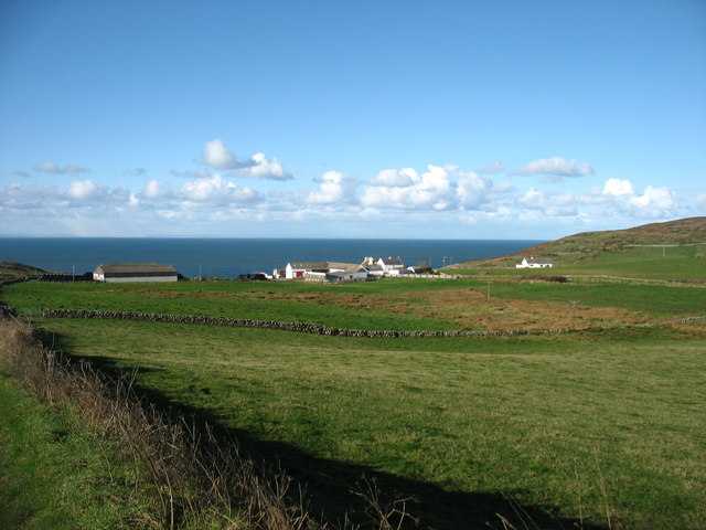
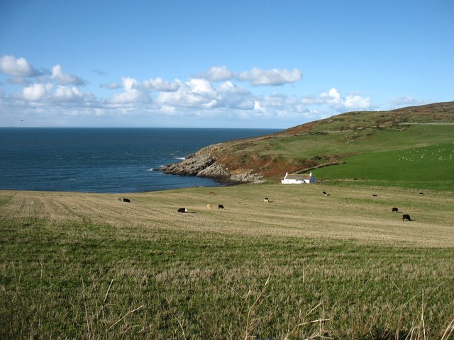
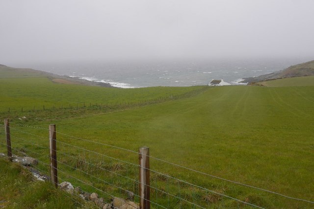
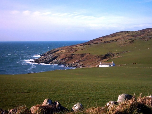
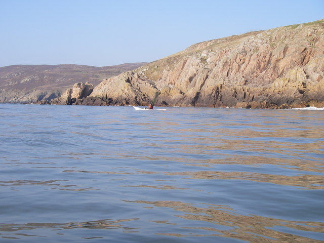
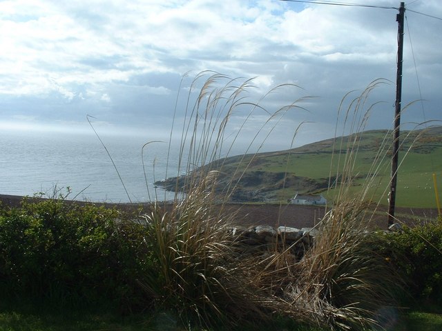
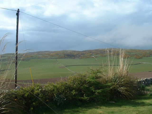
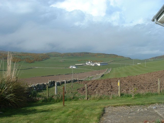
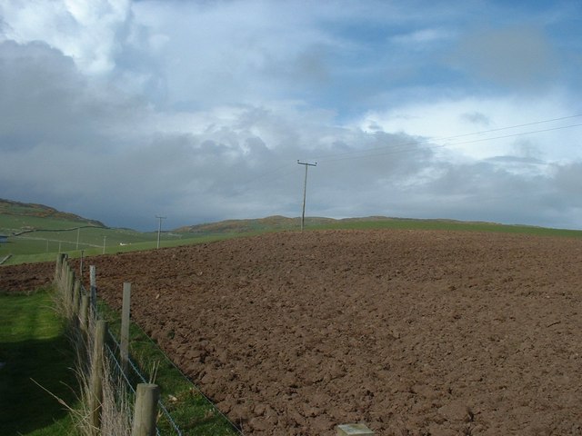
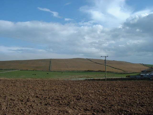
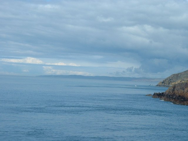
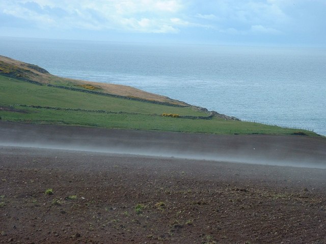
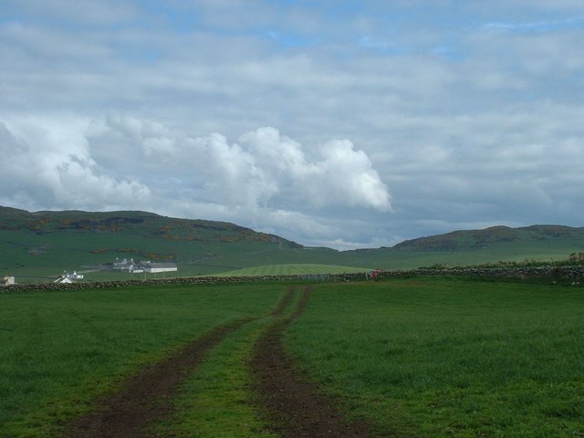
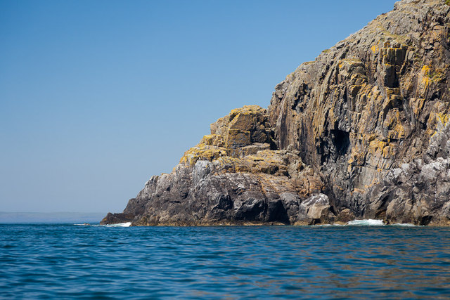
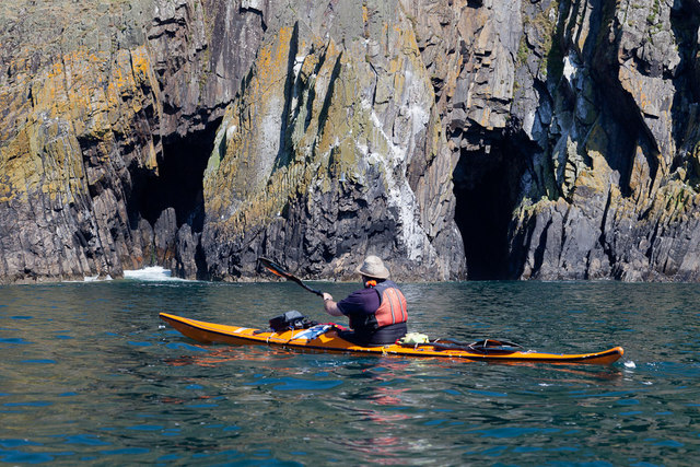
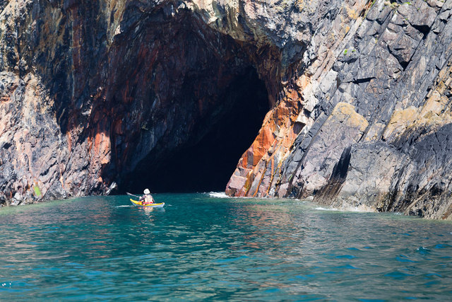
Wilcomb Brae is a picturesque region located in Wigtownshire, a historic county in southwest Scotland. Situated amidst the rolling hills and moorlands, this area is renowned for its natural beauty and tranquil ambiance. The Downs, Moorland section of Wilcomb Brae offers visitors a unique opportunity to explore the stunning Scottish countryside.

The landscape of Wilcomb Brae is characterized by vast expanses of heather-covered moorland, interspersed with gentle slopes and deep valleys. The area is home to a diverse range of flora and fauna, making it a haven for nature enthusiasts and wildlife lovers. Visitors can expect to encounter numerous species of birds, including red grouse, peregrine falcons, and golden eagles, as well as various mammals such as red deer and mountain hares.

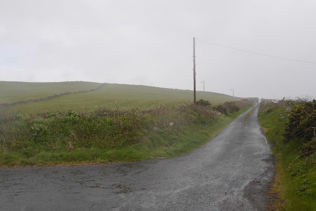
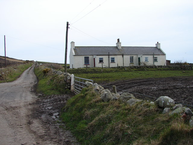
In addition to its natural wonders, Wilcomb Brae also boasts several walking trails that allow visitors to fully immerse themselves in the beauty of the surroundings. These trails cater to all levels of fitness and offer breathtaking views of the countryside. The nearby village of Wigtown offers amenities such as accommodation, dining options, and tourist information, making it a convenient base for exploring the area.

Wilcomb Brae is a destination that offers visitors a chance to escape the hustle and bustle of modern life and immerse themselves in the tranquility of nature. Whether it's a leisurely walk through the moorland or a bird-watching expedition, this region has something to offer for everyone seeking a peaceful retreat in the heart of Scotland.

If you have any feedback on the listing, please let us know in the comments section below.

Wilcomb Brae Images

Images are sourced within 2km of 54.683319/-4.9487525 or Grid Reference NX1036. Thanks to Geograph Open Source API. All images are credited.

Fields above Knockencule Farm On the west coast of the Rhins.
Fields above Knockencule Farm
On the west coast of the Rhins.
The west shore of The Rhins Bay House in view, just right of centre.
The west shore of The Rhins
Bay House in view, just right of centre.
Bay House The bay is Portencorkrie. The west side of the Rhins is wild and there is a gale blowing out to sea.
Bay House
The bay is Portencorkrie. The west side of the Rhins is wild and there is a gale blowing out to sea.
Road to Slockmill Serving scattered dwellings on the exposed west coast of the Rhins of Galloway.
Road to Slockmill
Serving scattered dwellings on the exposed west coast of the Rhins of Galloway.
Bay House, Portencorkrie An idyllic traditional Galloway cottage above Portencorkrie Bay.
Bay House, Portencorkrie
An idyllic traditional Galloway cottage above Portencorkrie Bay.
North of Crammag Head
Knockencule Cottages Farm cottages at Knockencule in the remote south-west corner of South Rhins.
Knockencule Cottages
Farm cottages at Knockencule in the remote south-west corner of South Rhins.
North End Portencorkrie Bay The beach side house is now boarded up and abandoned.
North End Portencorkrie Bay
The beach side house is now boarded up and abandoned.
Towards Barncorkrie Moor The gorse on the hillside glows brightly against the new spring grass in the sheep pasture.
Towards Barncorkrie Moor
The gorse on the hillside glows brightly against the new spring grass in the sheep pasture.
Barncorkrie Farm With Barncorkrie Moor behind and the minor road to Inshanks Fell in front.
Barncorkrie Farm
With Barncorkrie Moor behind and the minor road to Inshanks Fell in front.
Fields towards Cairn Fell With Barncorkrie Moor to left.
Fields towards Cairn Fell
With Barncorkrie Moor to left.
Fields by Knockencule With outbuildings of Knockencule Farm to right.
Fields by Knockencule
With outbuildings of Knockencule Farm to right.
View north from Crammag Head From north side of new lighthouse, with Laggantalluch Head middle right and Black Head, beyond Portpatrick in left far distance.
View north from Crammag Head
From north side of new lighthouse, with Laggantalluch Head middle right and Black Head, beyond Portpatrick in left far distance.
Har forming at Knockencule Har mist forming over freshly planted barley field.
Har forming at Knockencule
Har mist forming over freshly planted barley field.
Stone wall with field gate Dry stone wall with field gate in middle distance, Barncorkrie Farm to left with Barncorkrie Moor in left background, Cairn fell right background and valley between.
Stone wall with field gate
Dry stone wall with field gate in middle distance, Barncorkrie Farm to left with Barncorkrie Moor in left background, Cairn fell right background and valley between.
Laggantalluch Head Laggantalluch Head from the south, taken on a sea kayak trip from East Tarbet to Port Logan round the Mull of Galloway.
Laggantalluch Head
Laggantalluch Head from the south, taken on a sea kayak trip from East Tarbet to Port Logan round the Mull of Galloway.
Yellow Horse caves, Laggantalluch Head Yellow Horse caves, Laggantalluch Head, taken on a sea kayaking trip from East Tarbet to Port Logan.
Yellow Horse caves, Laggantalluch Head
Yellow Horse caves, Laggantalluch Head, taken on a sea kayaking trip from East Tarbet to Port Logan.
Cave of the Saddle, Gounie Head Cave of the Saddle, Gounie Head, taken on a sea kayaking trip from East Tarbet to Port Logan.
Cave of the Saddle, Gounie Head
Cave of the Saddle, Gounie Head, taken on a sea kayaking trip from East Tarbet to Port Logan.
Show me another place!

Wilcomb Brae is located at Grid Ref: NX1036 (Lat: 54.683319, Lng: -4.9487525)

Unitary Authority: Dumfries and Galloway

Police Authority: Dumfries and Galloway

What 3 Words

///complains.gullible.earful. Near Drummore, Dumfries & Galloway

Related Wikis

Kirkmaiden (village)

Kirkmaiden (sometimes Maidenkirk; Scottish Gaelic: Cill M'Eudan) is a small settlement in Galloway, Scotland, located approximately 17 miles (27 km) south...

Kirkmaiden

Kirkmaiden is a parish in the Rhins of Galloway, the most southerly in Scotland; the present Church of Scotland parish has the same name as and is approximately...

Drummore

Drummore (drum-ORE; (from Gaelic An Druim Mòr meaning "the great ridge") is the southernmost village in Scotland, located at the southern end of the Rhins...

Port Logan

Port Logan, formerly Port Nessock, is a small village in the parish of Kirkmaiden in the Rhins of Galloway in Wigtownshire. The Gaelic name is Port Neasaig...

Have you been to Wilcomb Brae?

Leave your review of Wilcomb Brae below (or comments, questions and feedback).