Cairn More

Heritage Site in Wigtownshire

Scotland

Cairn More

Fields above Knockencule Farm On the west coast of the Rhins.
Fields above Knockencule Farm Credit: David Purchase

Cairn More is a significant heritage site located in Wigtownshire, Scotland. It is an ancient burial mound that stands atop a hill, offering breathtaking views of the surrounding countryside. The cairn, which is estimated to be over 4,000 years old, is a striking example of Neolithic architecture and provides valuable insights into the region's prehistoric past.

The cairn itself is a circular stone structure, approximately 27 meters in diameter and 5 meters high. Its construction consists of layers of stones, carefully arranged to create a solid and durable structure. The outer layer is composed of larger stones, while smaller rocks and soil fill the interior. Archaeological excavations have revealed the presence of burial chambers within the cairn, suggesting that it was used as a communal burial site in ancient times.

Visitors to Cairn More can explore the site and marvel at its impressive construction. Interpretive panels provide information about the cairn's history, including its purpose and significance. The site is easily accessible, with a well-maintained path leading up to the summit.

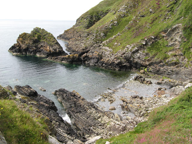
Cairn More is not only an important archaeological site but also a place of natural beauty. Its elevated position offers panoramic views of the surrounding landscape, including the rolling hills and nearby coastline. The site is a popular attraction for tourists and history enthusiasts alike, who come to appreciate its historical and scenic value.

Overall, Cairn More is a remarkable heritage site that provides a glimpse into Scotland's ancient past. Its well-preserved structure and stunning location make it a must-visit destination for anyone interested in the region's rich history and natural beauty.

If you have any feedback on the listing, please let us know in the comments section below.
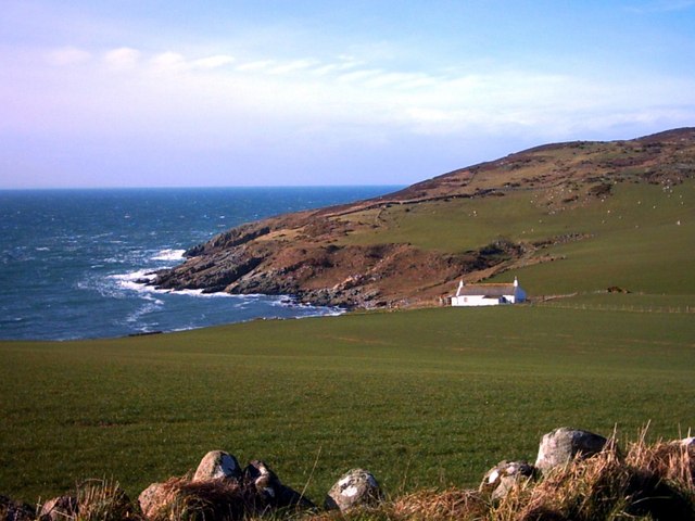
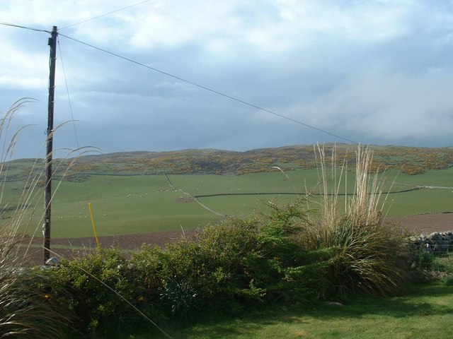
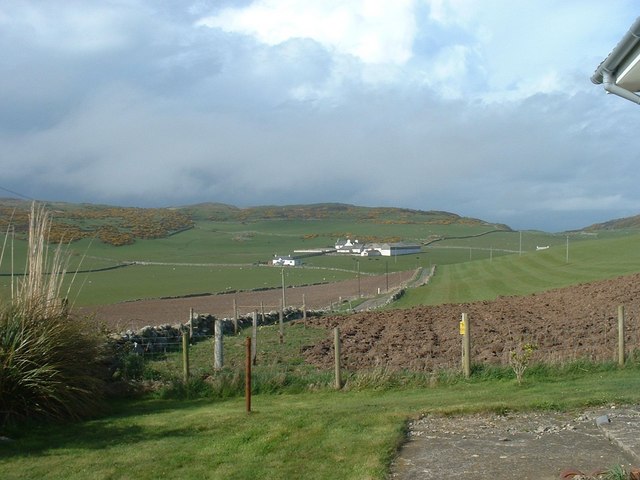
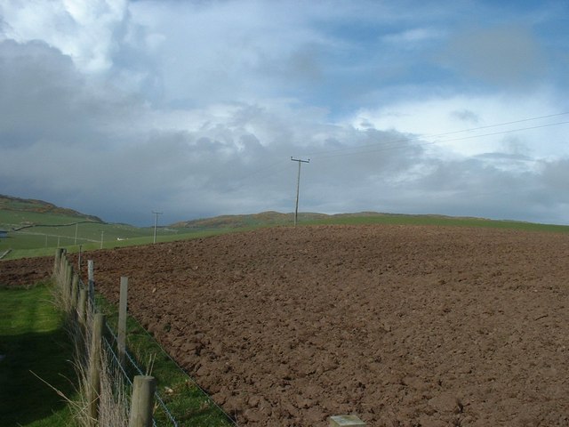
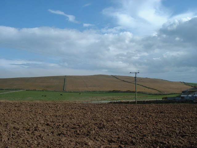
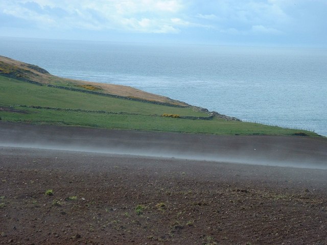
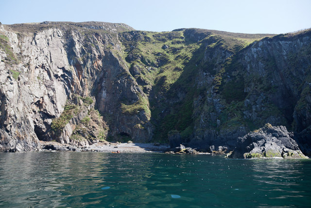
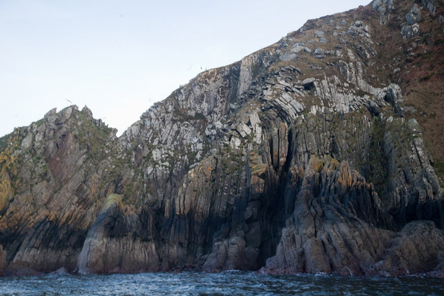
Cairn More Images

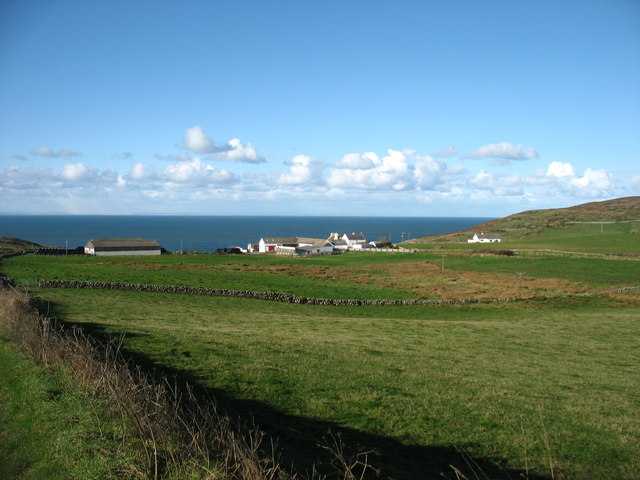
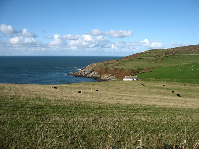
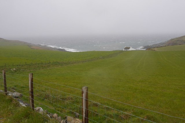
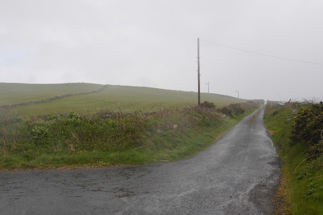
Images are sourced within 2km of 54.687/-4.94 or Grid Reference NX1036. Thanks to Geograph Open Source API. All images are credited.

Fields above Knockencule Farm On the west coast of the Rhins.
Fields above Knockencule Farm
On the west coast of the Rhins.
The west shore of The Rhins Bay House in view, just right of centre.
The west shore of The Rhins
Bay House in view, just right of centre.
Bay House The bay is Portencorkrie. The west side of the Rhins is wild and there is a gale blowing out to sea.
Bay House
The bay is Portencorkrie. The west side of the Rhins is wild and there is a gale blowing out to sea.
Road to Slockmill Serving scattered dwellings on the exposed west coast of the Rhins of Galloway.
Road to Slockmill
Serving scattered dwellings on the exposed west coast of the Rhins of Galloway.
Bay House, Portencorkrie An idyllic traditional Galloway cottage above Portencorkrie Bay.
Bay House, Portencorkrie
An idyllic traditional Galloway cottage above Portencorkrie Bay.
Towards Barncorkrie Moor The gorse on the hillside glows brightly against the new spring grass in the sheep pasture.
Towards Barncorkrie Moor
The gorse on the hillside glows brightly against the new spring grass in the sheep pasture.
Barncorkrie Farm With Barncorkrie Moor behind and the minor road to Inshanks Fell in front.
Barncorkrie Farm
With Barncorkrie Moor behind and the minor road to Inshanks Fell in front.
Fields towards Cairn Fell With Barncorkrie Moor to left.
Fields towards Cairn Fell
With Barncorkrie Moor to left.
Fields by Knockencule With outbuildings of Knockencule Farm to right.
Fields by Knockencule
With outbuildings of Knockencule Farm to right.
Har forming at Knockencule Har mist forming over freshly planted barley field.
Har forming at Knockencule
Har mist forming over freshly planted barley field.
Breddock Bay Breddock Bay taken on a sea kayak trip from East Tarbet to port Logan
Breddock Bay
Breddock Bay taken on a sea kayak trip from East Tarbet to port Logan
Craig of Dolt Craig of Dolt is composed of vertical and folded strata of greywacke, a sedimentary rock. The photo was taken in the vicinity of a delightfully named Gobawhilkin, while on a sea kayaking trip from East Tarbet to Port Logan.
Craig of Dolt
Craig of Dolt is composed of vertical and folded strata of greywacke, a sedimentary rock. The photo was taken in the vicinity of a delightfully named Gobawhilkin, while on a sea kayaking trip from East Tarbet to Port Logan.
Cairn, Barncorkrie Moor A rather neat cairn on the summit of the moor overlooking Barncorkrie. Another, nearby, is named the Cairn of Dolt, but I didn't go there.
Cairn, Barncorkrie Moor
A rather neat cairn on the summit of the moor overlooking Barncorkrie. Another, nearby, is named the Cairn of Dolt, but I didn't go there.
Carlin House Bay A small bay eroded along the strike of the rather deformed rocks of the turbiditic greywackes of the Clanyard Bay Formation (Gala Group, Silurian). Much interest attaches to the deformation style and stratigraphy of this area, but I did not climb down from the grassy col between the larger and smaller bays.
Carlin House Bay
A small bay eroded along the strike of the rather deformed rocks of the turbiditic greywackes of the Clanyard Bay Formation (Gala Group, Silurian). Much interest attaches to the deformation style and stratigraphy of this area, but I did not climb down from the grassy col between the larger and smaller bays.
Barncorkrie sheds and house Looking up the farm road past the sheds.
Barncorkrie sheds and house
Looking up the farm road past the sheds.
Farm track Looking up the farm track towards the col of Balloch, with Cairn fell in the right background.
Farm track
Looking up the farm track towards the col of Balloch, with Cairn fell in the right background.
Sheep fanks Looking down onto the sheep fanks at Balloch, with Cairn Fell in the background.
Sheep fanks
Looking down onto the sheep fanks at Balloch, with Cairn Fell in the background.
Grazing divide This fence obviously marks a farm boundary on Barncorkrie Moor, with grazed moor to the right and undisturbed heather to the left.
Grazing divide
This fence obviously marks a farm boundary on Barncorkrie Moor, with grazed moor to the right and undisturbed heather to the left.
Show me another place!

Cairn More is located at Grid Ref: NX1036 (Lat: 54.687, Lng: -4.94)

Unitary Authority: Dumfries and Galloway

Police Authority: Dumfries and Galloway

What 3 Words

///socket.chef.directors. Near Drummore, Dumfries & Galloway

Related Wikis

Kirkmaiden (village)

Kirkmaiden (sometimes Maidenkirk; Scottish Gaelic: Cill M'Eudan) is a small settlement in Galloway, Scotland, located approximately 17 miles (27 km) south...

Kirkmaiden

Kirkmaiden is a parish in the Rhins of Galloway, the most southerly in Scotland; the present Church of Scotland parish has the same name as and is approximately...

Drummore

Drummore (drum-ORE; (from Gaelic An Druim Mòr meaning "the great ridge") is the southernmost village in Scotland, located at the southern end of the Rhins...

Port Logan

Port Logan, formerly Port Nessock, is a small village in the parish of Kirkmaiden in the Rhins of Galloway in Wigtownshire. The Gaelic name is Port Neasaig...

Nearby Amenities

Located within 500m of 54.687,-4.94
Power: pole
Lat/Long: 54.6903736/-4.9352641
The data included in this document is from www.openstreetmap.org. The data is made available under ODbL.

Have you been to Cairn More?

Leave your review of Cairn More below (or comments, questions and feedback).