Cairn Motherie

Heritage Site in Angus

Scotland

Cairn Motherie

Craig of Balloch Heading for Backwater Reservoir.
Craig of Balloch Credit: Russel Wills

Cairn Motherie, located in Angus, Scotland, is a significant heritage site with a rich historical background. Dating back to the early Neolithic period, this site is a well-preserved example of a chambered cairn, also known as a burial mound.

The cairn is situated on a small hill, offering panoramic views of the surrounding countryside. It measures approximately 20 meters in diameter and is constructed using large stones, forming a circular mound. The entrance to the chambered cairn is located on the eastern side and is accessed via a narrow passage.

Inside the cairn, visitors can explore a series of stone chambers, which were used as burial places for the deceased. These chambers are organized in a cruciform layout, with a central chamber and three smaller chambers extending from it. The walls of the chambers are adorned with intricate carvings and engravings, depicting various symbols and patterns, providing an insight into the artistic skills of the Neolithic people.

Cairn Motherie is of great archaeological significance, as it offers valuable insights into the burial practices and social structures of the Neolithic communities in the area. Excavations conducted at the site have revealed various artifacts, including pottery, tools, and jewelry, shedding light on the daily lives and customs of the people who inhabited this region thousands of years ago.

Today, Cairn Motherie stands as a remarkable testament to the ancient heritage of Angus, attracting both tourists and archaeology enthusiasts from around the world who are eager to explore this well-preserved Neolithic burial site.

If you have any feedback on the listing, please let us know in the comments section below.

Cairn Motherie Images

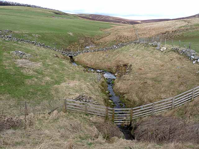
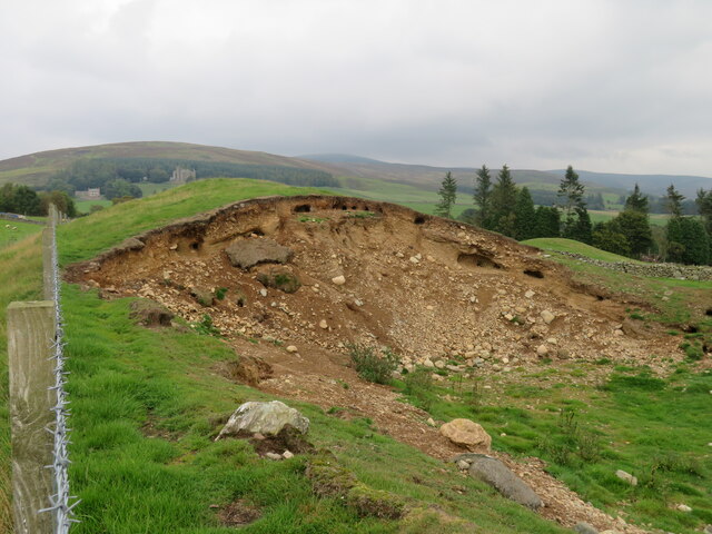
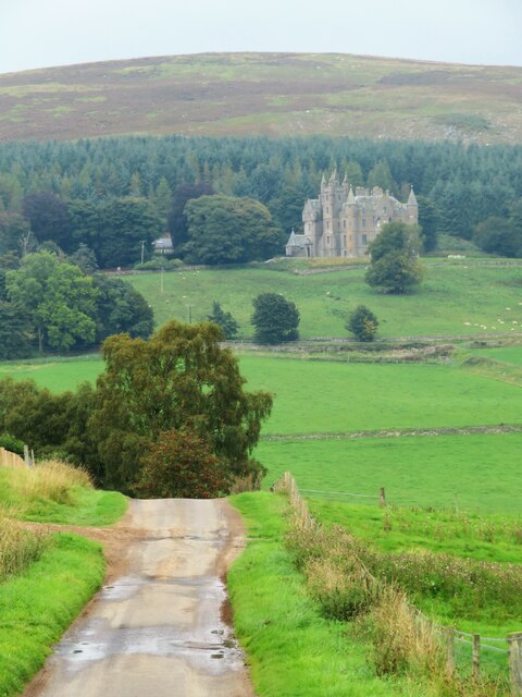
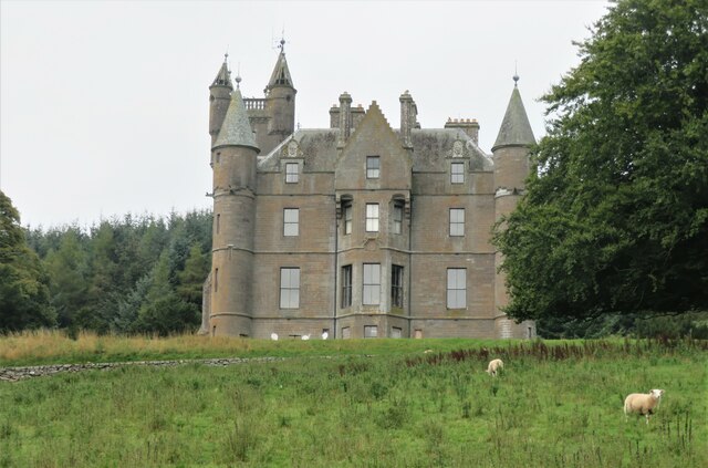
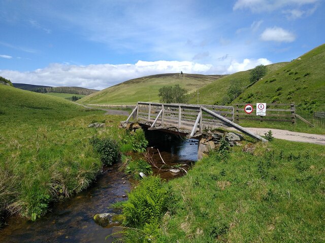
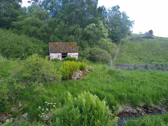
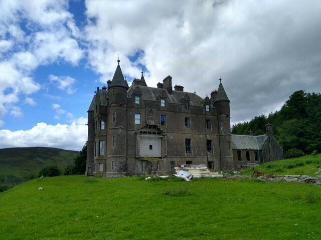
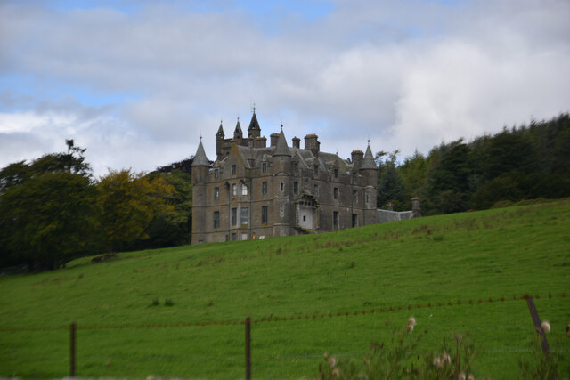
Images are sourced within 2km of 56.722/-3.185 or Grid Reference NO2759. Thanks to Geograph Open Source API. All images are credited.

Craig of Balloch Heading for Backwater Reservoir.
Craig of Balloch
Heading for Backwater Reservoir.
Footpath south-west from Craig of Balloch A viable footpath.
Footpath south-west from Craig of Balloch
A viable footpath.
Footpath east into Craig of Balloch A viable footpath.
Footpath east into Craig of Balloch
A viable footpath.
Side valley above the Backwater Reservoir
Rabbits just love moraines An exposed section of a glacial moraine at Coul with many different rocks embedded. The soft material is much liked by rabbits, as can be seen by the number of burrows in the mound.
Rabbits just love moraines
An exposed section of a glacial moraine at Coul with many different rocks embedded. The soft material is much liked by rabbits, as can be seen by the number of burrows in the mound.
Road at Easter Coul Minor road dropping downhill to cross Quharity Burn. Ahead is Balintore Castle.
Road at Easter Coul
Minor road dropping downhill to cross Quharity Burn. Ahead is Balintore Castle.
View to Balintore Castle On a grey day this grey castle looks ripe for a Hammer Horror Film location, but looking more closely one can see signs of restoration. All windows appear to be in and the castle's own website shows accommodation within. The castle dates from circa 1860 and was built as a rich man's shooting lodge.  A hundred years later it was abandoned due to dry rot and other expensive problems. Restoration is still ongoing, but it appears the worst of the problems have now been fixed. The castle is grade 'A' listed.
View to Balintore Castle
On a grey day this grey castle looks ripe for a Hammer Horror Film location, but looking more closely one can see signs of restoration. All windows appear to be in and the castle's own website shows accommodation within. The castle dates from circa 1860 and was built as a rich man's shooting lodge. A hundred years later it was abandoned due to dry rot and other expensive problems. Restoration is still ongoing, but it appears the worst of the problems have now been fixed. The castle is grade 'A' listed.
Bridge across Burn of Dairy The path from Westerton has turned around and is now leading north-east.
Bridge across Burn of Dairy
The path from Westerton has turned around and is now leading north-east.
Tiny house A derelict hut at the crossroads in Westerton. Nobody lives here, I'm sure.
Tiny house
A derelict hut at the crossroads in Westerton. Nobody lives here, I'm sure.
The dark side of Balintore Castle Balintore Castle manages to sit right at the boundary between two squares. Most of the structure is in the square to the north, but this picture is showing the south-east corner which sits in this square. The castle is gradually being renovated, but this side is mostly still in a state of disarray. If you want to see the better side, approach the castle from the west, not the east.
The dark side of Balintore Castle
Balintore Castle manages to sit right at the boundary between two squares. Most of the structure is in the square to the north, but this picture is showing the south-east corner which sits in this square. The castle is gradually being renovated, but this side is mostly still in a state of disarray. If you want to see the better side, approach the castle from the west, not the east.
Balintore Castle
Balintore Castle
Minor road alongside The Backwater
No way through at Balintore
Craig of Balintore Craig of Balintore viewed from the south-east.
Craig of Balintore
Craig of Balintore viewed from the south-east.
Minor road at Easter Coul Looking north-eastward.
Minor road at Easter Coul
Looking north-eastward.
Track leading to Westerton Looking north-westward.
Track leading to Westerton
Looking north-westward.
Road beside Blackwater Reservoir Looking south-eastward
Road beside Blackwater Reservoir
Looking south-eastward
Ley This abandoned farm building above the Backwater reservoir has some sheep fanks alongside.
Ley
This abandoned farm building above the Backwater reservoir has some sheep fanks alongside.
Show me another place!

Cairn Motherie is located at Grid Ref: NO2759 (Lat: 56.722, Lng: -3.185)

Unitary Authority: Angus

Police Authority: Tayside

What 3 Words

///grills.violinist.pots. Near Alyth, Perth & Kinross

Nearby Locations

Creigh Hill Cairn Motherie

Related Wikis

Balintore, Angus

Balintore (Scottish Gaelic: Baile an Todhair) is a village in Angus, Scotland. It lies in Glen Isla, four miles north of the Loch of Lintrathen and seven...

Balintore Castle

Balintore Castle is a Victorian Category A listed building in Scotland. The castle occupies an elevated site in moorland above Balintore village, a few...

Backwater Reservoir

Backwater Reservoir is a reservoir in north west Angus, Scotland. The reservoir's sole purpose is to provide drinking water, and as such, it supplies Angus...

Knockshannoch Lodge

Knockshannoch Lodge is a Category B listed building in the Scottish village of Glenisla, Angus, built around 1888. It is a small, single-storey cottage...

Nearby Amenities

Located within 500m of 56.722,-3.185
Creigh Hill
Alt Name: Cairn Motherie
Corbett: no
Ele: 497
Graham: no
Marilyn: yes
Munro: no
Natural: peak
Prominence: 166
Lat/Long: 56.7207145/-3.1927863
Craigs of Moorleathers
Natural: hill
Lat/Long: 56.721482/-3.1879793
The data included in this document is from www.openstreetmap.org. The data is made available under ODbL.

Have you been to Cairn Motherie?

Leave your review of Cairn Motherie below (or comments, questions and feedback).