Brick Kiln Plantation

Downs, Moorland in Wigtownshire

Scotland

Brick Kiln Plantation

End of Clifftop Walk from Port Logan It is rare to see a yellow waymarker pointing straight down.  This one means 'turn back'.
There is no easy way beyond this point.
End of Clifftop Walk from Port Logan Credit: Rose and Trev Clough

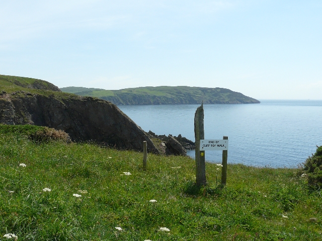
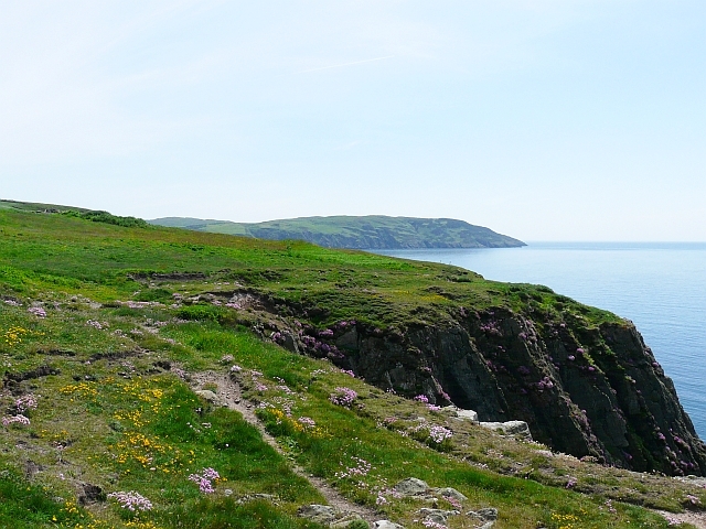
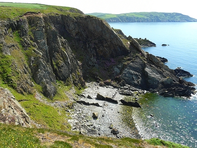
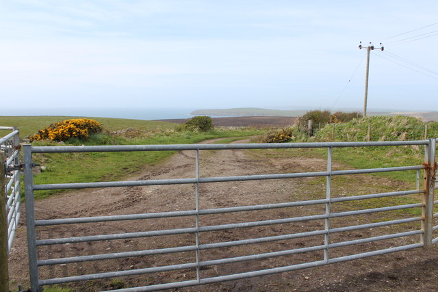
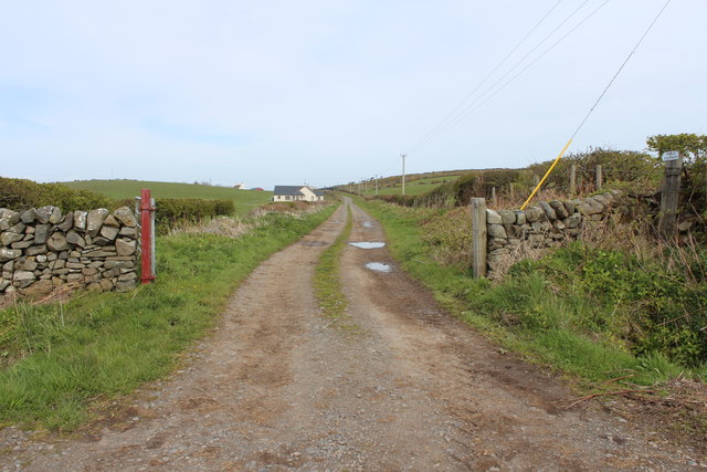
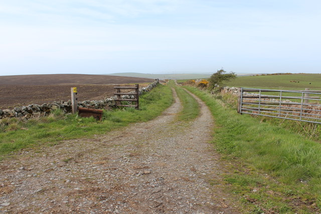
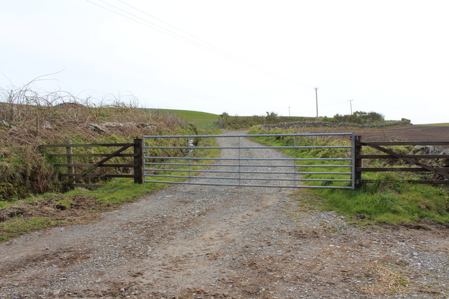
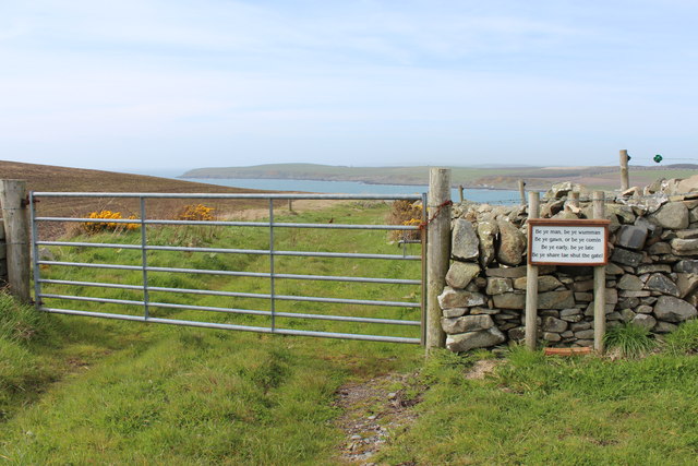
Brick Kiln Plantation is a picturesque woodland located in Wigtownshire, an area renowned for its natural beauty in the southwest of Scotland. Covering a vast expanse of downs and moorland, this plantation offers a serene escape for nature enthusiasts and outdoor adventurers alike.

The plantation is characterized by its dense growth of diverse trees, including oak, birch, and pine, creating a stunning canopy that provides shade and shelter for a variety of wildlife. The forest floor is adorned with a plethora of wildflowers, creating a colorful tapestry that changes with the seasons.

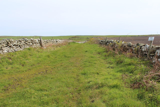
Visitors to Brick Kiln Plantation can enjoy a network of well-maintained trails that wind through the woods, providing opportunities for hiking, cycling, and horseback riding. These trails offer breathtaking views of the surrounding countryside, with rolling hills and expansive meadows stretching as far as the eye can see.

The plantation is also home to a rich variety of animal species, including red deer, foxes, badgers, and numerous bird species. Birdwatchers will be delighted by the chance to spot rare species such as the golden eagle and the osprey, while nature lovers can revel in the tranquility of the woodland, listening to the soothing sounds of chirping birds and rustling leaves.

With its natural beauty and abundant wildlife, Brick Kiln Plantation is a haven for outdoor enthusiasts seeking solace in nature. Whether one wishes to explore the woodlands, observe wildlife, or simply unwind amidst the serene surroundings, this plantation offers a truly unforgettable experience.

If you have any feedback on the listing, please let us know in the comments section below.

Brick Kiln Plantation Images

Images are sourced within 2km of 54.730553/-4.9514541 or Grid Reference NX1041. Thanks to Geograph Open Source API. All images are credited.

End of Clifftop Walk from Port Logan It is rare to see a yellow waymarker pointing straight down.  This one means 'turn back'.
There is no easy way beyond this point.
End of Clifftop Walk from Port Logan
It is rare to see a yellow waymarker pointing straight down. This one means 'turn back'. There is no easy way beyond this point.
Path from Cairnywellan Head An unofficial footpath that comes to an abrupt halt a little further south <a href="https://www.geograph.org.uk/photo/838279">NX0939 : End of Clifftop Walk from Port Logan</a> .
Path from Cairnywellan Head
An unofficial footpath that comes to an abrupt halt a little further south NX0939 : End of Clifftop Walk from Port Logan .
Cliffs overlooking Slate Heugh Bay The rock is greywacke of Early Silurian age.
Cliffs overlooking Slate Heugh Bay
The rock is greywacke of Early Silurian age.
Slate Heugh Bay The cliffs here are composed of greywacke, a sedimentary rock, laid down in the Early Silurian period. In the bay a jagged line of upstanding rock crosses the shore from the sea, and appears to continue as a white line all the way up the cliff. This is a later intrusion of hard igneous rock, and is mentioned in the British Geological Survey's excursion guide to the area <span class="nowrap"><a title="http://shop.bgs.ac.uk/Bookshop/product.cfm?p_id=GSWS" rel="nofollow ugc noopener" href="http://shop.bgs.ac.uk/Bookshop/product.cfm?p_id=GSWS">Link</a><img style="margin-left:2px;" alt="External link" title="External link - shift click to open in new window" src="https://s1.geograph.org.uk/img/external.png" width="10" height="10"/></span> as "a cross-cutting, Tertiary dolerite dyke".
Slate Heugh Bay
The cliffs here are composed of greywacke, a sedimentary rock, laid down in the Early Silurian period. In the bay a jagged line of upstanding rock crosses the shore from the sea, and appears to continue as a white line all the way up the cliff. This is a later intrusion of hard igneous rock, and is mentioned in the British Geological Survey's excursion guide to the area LinkExternal link as "a cross-cutting, Tertiary dolerite dyke".
Farm quarry A convenient source of easily-worked stone. This band of slatey rock, part of the Silurian Gala Group of greywackes, runs across the Rhins and is worked in several places. See <a href="https://www.geograph.org.uk/photo/3141425">NX1139 : Quarry lakes</a> for another. In this image the bedding of the rocks is very clear, steep and northerly, and that is a regional trend reflecting the collision of continents in the Caledonian orogeny.
Farm quarry
A convenient source of easily-worked stone. This band of slatey rock, part of the Silurian Gala Group of greywackes, runs across the Rhins and is worked in several places. See NX1139 : Quarry lakes for another. In this image the bedding of the rocks is very clear, steep and northerly, and that is a regional trend reflecting the collision of continents in the Caledonian orogeny.
Please shut the gate An excellent reminder in colloqial Scots that closing the gate behind you is important under all circumstances. The animals that occasion the reminder are clustered on the hill overlooking Port Logan.
Please shut the gate
An excellent reminder in colloqial Scots that closing the gate behind you is important under all circumstances. The animals that occasion the reminder are clustered on the hill overlooking Port Logan.
Junction of the tracks The way-marked track from Port Logan comes in from the left here, and is signposted towards Cowans. Behind the camera stretches the route to Clanyard and Inshanks, which is the old road.
Junction of the tracks
The way-marked track from Port Logan comes in from the left here, and is signposted towards Cowans. Behind the camera stretches the route to Clanyard and Inshanks, which is the old road.
Track to Port Logan
Track to Port Logan
Track to Castle Clanyard
Public Footpath passing Cowans
Track to Port Logan
Track to Port Logan
Track to Castle Clanyard
Track to Port Logan
Track to Port Logan
Guid Scots Advice
Guid Scots Advice
Public Footpath to Low Clanyard
Track to Castle Clanyard
Paddy's Plantation Photo taken looking west, with the tight bend on the left going towards Killumpha Farm
Paddy's Plantation
Photo taken looking west, with the tight bend on the left going towards Killumpha Farm
Logan Botanic Gardens Entrance of the B7065
Logan Botanic Gardens
Entrance of the B7065
Show me another place!

Brick Kiln Plantation is located at Grid Ref: NX1041 (Lat: 54.730553, Lng: -4.9514541)

Unitary Authority: Dumfries and Galloway

Police Authority: Dumfries and Galloway

What 3 Words

///severe.dial.norms. Near Drummore, Dumfries & Galloway

Nearby Locations

Brick Kiln Plantation

Related Wikis

Port Logan

Port Logan, formerly Port Nessock, is a small village in the parish of Kirkmaiden in the Rhins of Galloway in Wigtownshire. The Gaelic name is Port Neasaig...

Logan Botanic Garden

Logan Botanic Garden is a botanical garden near Port Logan on the Rhins of Galloway, at the south-western tip of Scotland. The Botanic Garden was established...

Ardwell

Ardwell (from Gaelic Àrd Bhaile meaning "high town", pronounced as "Ardwell") is a village in the Scottish unitary council area of Dumfries and Galloway...

Doon Castle Broch

Doon Castle Broch is an iron-age broch located in Dumfries and Galloway, Scotland (grid reference NX 06702 44683). == Location == The Broch is located...

Nearby Amenities

Located within 500m of 54.730553,-4.9514541
Source: PGS
Lat/Long: 54.7301038/-4.9590794
Source: PGS
Lat/Long: 54.7299852/-4.9588412
Source: PGS
Lat/Long: 54.7298817/-4.9586982
Source: PGS
Lat/Long: 54.7297306/-4.9585011
Source: PGS
Lat/Long: 54.7295755/-4.9582992
Source: PGS
Lat/Long: 54.7293726/-4.9580142
Source: PGS
Lat/Long: 54.7291883/-4.9578689
Source: PGS
Lat/Long: 54.7289461/-4.9576082
Source: PGS
Lat/Long: 54.7286171/-4.9572252
Source: PGS
Lat/Long: 54.727852/-4.9567993
Source: PGS
Lat/Long: 54.7274623/-4.9564077
Source: PGS
Lat/Long: 54.7271426/-4.9562607
Barrier: entrance
Motor Vehicle: no
Lat/Long: 54.7299988/-4.9557468
Barrier: entrance
Lat/Long: 54.7302945/-4.9555786
Power: pole
Lat/Long: 54.734853/-4.9532476
Power: pole
Lat/Long: 54.7340666/-4.9540993
Power: pole
Lat/Long: 54.7337597/-4.9544001
Power: pole
Lat/Long: 54.7332422/-4.9552033
Power: pole
Lat/Long: 54.7327325/-4.9559736
Power: pole
Lat/Long: 54.7322048/-4.9567943
Power: pole
Lat/Long: 54.7316951/-4.9575703
Power: pole
Lat/Long: 54.7311002/-4.9584997
Power: pole
Lat/Long: 54.7308213/-4.9589226
Power: pole
Lat/Long: 54.7304168/-4.9580922
Power: pole
Lat/Long: 54.729906/-4.9571008
Power: pole
Lat/Long: 54.729366/-4.9560046
Power: pole
Lat/Long: 54.7289391/-4.9548832
Power: pole
Lat/Long: 54.7285078/-4.9537268
Power: pole
Lat/Long: 54.728184/-4.9528751
Power: pole
Lat/Long: 54.727532/-4.9526947
Power: pole
Lat/Long: 54.7269393/-4.9525336
Power: pole
Lat/Long: 54.7262637/-4.9523512
Generator Method: photovoltaic
Generator Output Electricity: yes
Generator Source: solar
Generator Type: solar_photovoltaic_panel
Location: roof
Power: generator
Lat/Long: 54.7301155/-4.9547441
The data included in this document is from www.openstreetmap.org. The data is made available under ODbL.

Have you been to Brick Kiln Plantation?

Leave your review of Brick Kiln Plantation below (or comments, questions and feedback).