Meall Rèidh

Hill, Mountain in Argyllshire

Scotland

Meall Rèidh

A819 at Carloonan Here the power lines cross the road
A819 at Carloonan Credit: John Firth

The requested URL returned error: 429 Too Many Requests

If you have any feedback on the listing, please let us know in the comments section below.
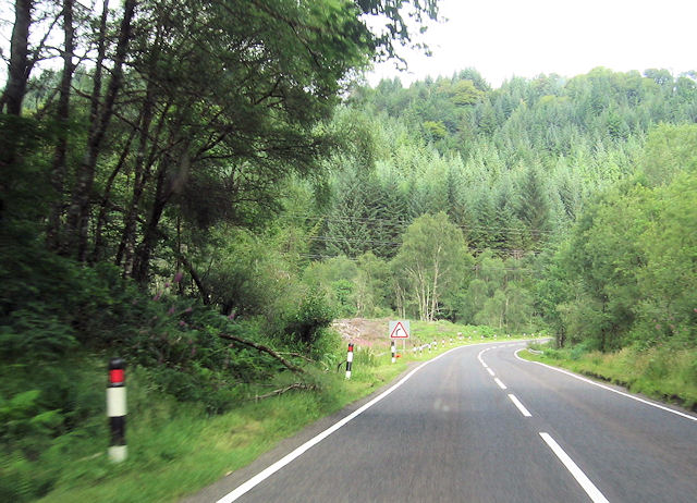
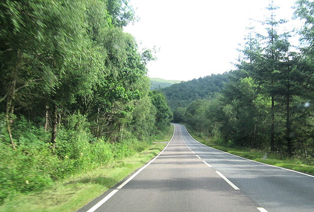
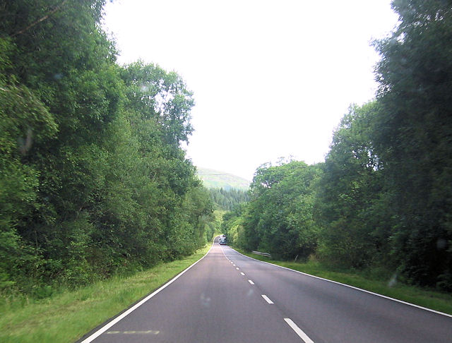
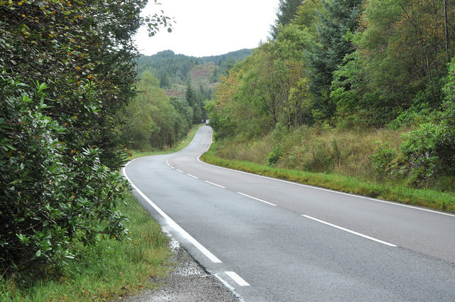
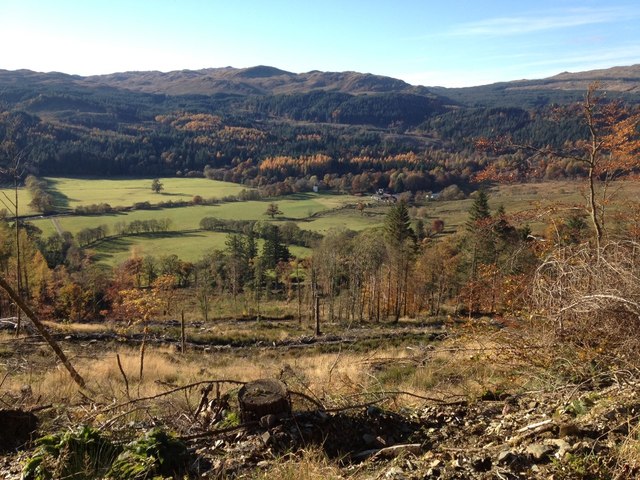
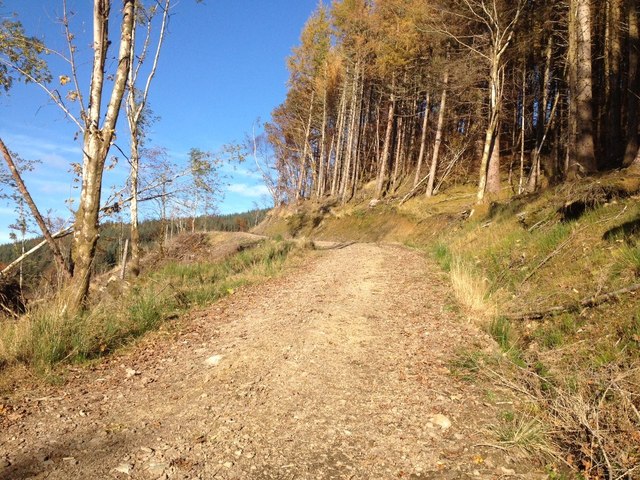
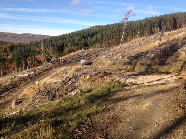
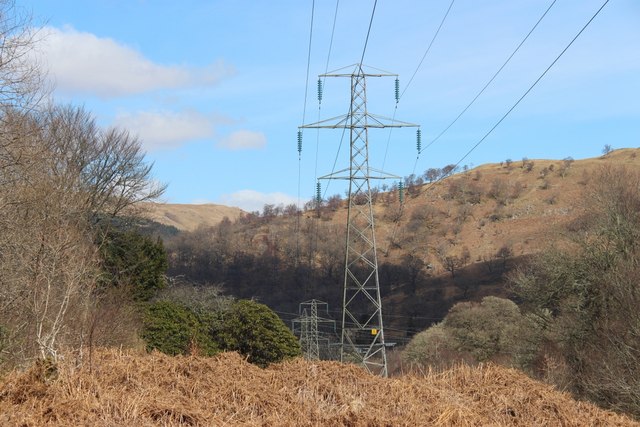
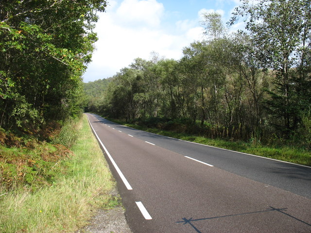
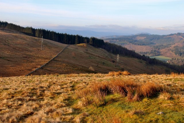
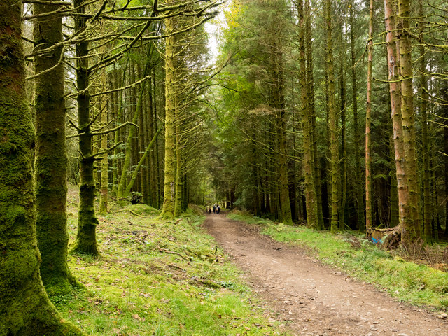
Meall Rèidh Images

Images are sourced within 2km of 56.2577/-5.063275 or Grid Reference NN1011. Thanks to Geograph Open Source API. All images are credited.

A819 at Carloonan Here the power lines cross the road
A819 at Carloonan
Here the power lines cross the road
A819 through Glen Aray Track into Balantyre woods on left
A819 through Glen Aray
Track into Balantyre woods on left
A819 straight through Three Bridges
A819 in Glen Aray
A819 in Glen Aray
View across Glenaray
Track up to Dun na Cuaiche
Felling activity near Inveraray
Pylon line crosses Glen Aray at Balantyre
The A819 in Glen Aray
Sròn-gharbh Plantation
Tom-breac Plantation Plans are afoot to 'Reinforce' the pylon line.
Tom-breac Plantation
Plans are afoot to 'Reinforce' the pylon line.
Woodland road The road is descending towards Inveraray Castle on the western slopes of Dùn na Cuaiche and is used on a walking ascent of that hill.
Woodland road
The road is descending towards Inveraray Castle on the western slopes of Dùn na Cuaiche and is used on a walking ascent of that hill.
Dry stone wall west of Meall Rèidh Meall Rèidh is a minor hill rise north of Dùn Còrr-Bhile, close to Inveraray. The autumnal trees below and beyond are in Glen Aray.
Dry stone wall west of Meall Rèidh
Meall Rèidh is a minor hill rise north of Dùn Còrr-Bhile, close to Inveraray. The autumnal trees below and beyond are in Glen Aray.
View from the A819 in Glen Aray
A819 in Glen Aray
A819 in Glen Aray
Track on Dun na Cuaiche From just below a hairpin bend we look down the path that climbs to the top of Dun na Cuaiche.
Track on Dun na Cuaiche
From just below a hairpin bend we look down the path that climbs to the top of Dun na Cuaiche.
Towards Glen Aray
Towards Glen Aray
Hillside towards Tom-breac Plantation
Show me another place!

Meall Rèidh is located at Grid Ref: NN1011 (Lat: 56.2577, Lng: -5.063275)

Unitary Authority: Argyll and Bute

Police Authority: Argyll and West Dunbartonshire

What 3 Words

///homing.windows.tolerates. Near Inveraray, Argyll & Bute

Nearby Locations

Meall Rèidh

Related Wikis

River Shira

River Shira (Scottish Gaelic: Siara / Abhainn Siara) is the river that runs for about 7 miles through Glen Shira, originating to the north-east at 350...

Inveraray Castle

Inveraray Castle (pronounced invə-REHRUH or invə-REHREH; Scottish Gaelic Caisteal Inbhir Aora [ˈkʰaʃtʲəl̪ˠ iɲɪɾʲˈɯːɾə]) is a country house near Inveraray...

Inveraray

Inveraray ( or ; Scottish Gaelic: Inbhir Aora pronounced [iɲɪɾʲˈɯːɾə] meaning "mouth of the Aray") is a town in Argyll and Bute, Scotland. It is on the...

Inveraray Bell Tower

The Duke's Tower, also known as Inveraray Bell Tower, is the detached bell tower of All Saints' Church, Inveraray, Argyll and Bute, Scotland. Standing...

Nearby Amenities

Located within 500m of 56.2577,-5.063275
Power: tower
Lat/Long: 56.2592953/-5.0672972
Power: tower
Lat/Long: 56.2595303/-5.0648885
Power: tower
Lat/Long: 56.2599007/-5.0610908
Power: tower
Lat/Long: 56.2589325/-5.0710172
Power: tower
Lat/Long: 56.2602872/-5.0571279
The data included in this document is from www.openstreetmap.org. The data is made available under ODbL.

Have you been to Meall Rèidh?

Leave your review of Meall Rèidh below (or comments, questions and feedback).