Long Hill

Hill, Mountain in Buteshire

Scotland

Long Hill

Rothesay, View over Bogany Wood Looking across to Toward Castle and Buachailean
Rothesay, View over Bogany Wood Credit: william craig

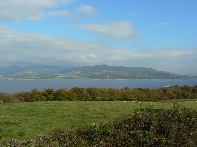
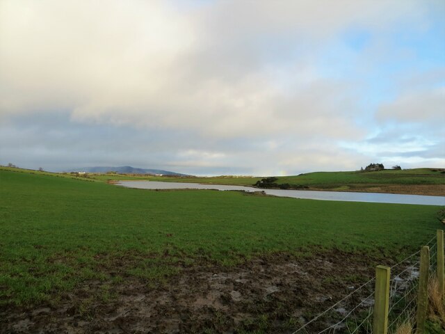
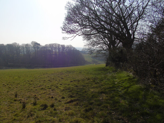
Long Hill is a prominent hill located in Buteshire, Scotland. It is situated in the southern part of the Isle of Bute, overlooking the picturesque town of Rothesay. With an elevation of approximately 278 meters (912 feet), it is considered one of the highest points on the island.

The hill is primarily composed of sedimentary rocks, including sandstone and limestone, which have been shaped by millions of years of erosion. As a result, Long Hill exhibits a rugged and undulating terrain, with steep slopes and rocky outcrops. The summit offers breathtaking panoramic views of the surrounding landscape, including the Firth of Clyde and the nearby peaks of the Scottish mainland.

Long Hill is a popular destination for hikers and nature enthusiasts, who are drawn to its natural beauty and tranquil atmosphere. Several well-marked trails crisscross the hill, providing opportunities for both leisurely walks and more challenging hikes. The diverse flora and fauna found on Long Hill make it an ideal spot for wildlife observation, with sightings of birds, rabbits, and deer being common.

In addition to its natural attractions, Long Hill also holds historical significance. The remains of ancient settlements and burial cairns can be found scattered across its slopes, providing insights into the island's past. These archaeological sites add an extra layer of interest for visitors seeking to explore the cultural heritage of Buteshire.

Overall, Long Hill is a captivating destination that offers a combination of stunning vistas, outdoor activities, and historical exploration. Whether one is seeking adventure or simply a peaceful escape, this hill in Buteshire provides an unforgettable experience for all who venture to its summit.

If you have any feedback on the listing, please let us know in the comments section below.
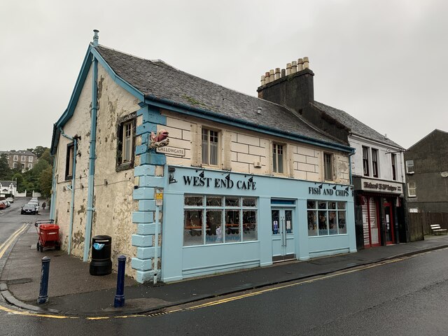
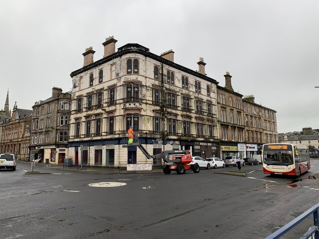
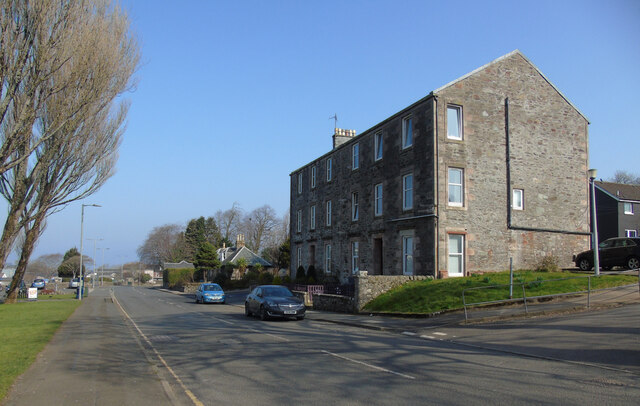
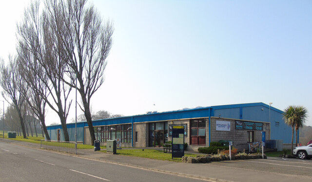
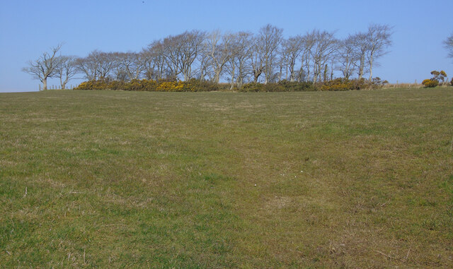
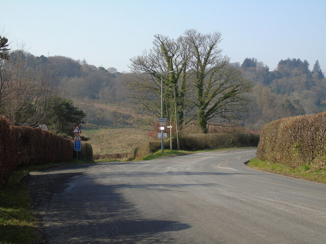
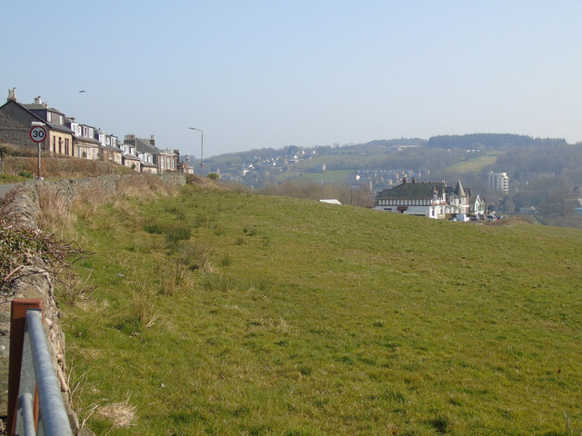
Long Hill Images

Images are sourced within 2km of 55.837757/-5.0651136 or Grid Reference NS0864. Thanks to Geograph Open Source API. All images are credited.

Rothesay, View over Bogany Wood Looking across to Toward Castle and Buachailean
Rothesay, View over Bogany Wood
Looking across to Toward Castle and Buachailean
Track into Bogany Wood Leading off Crichton Road.
Track into Bogany Wood
Leading off Crichton Road.
The Glenburn Hotel Originally constructed in 1843, the hotel was rebuilt 1882-84. It is Category B listed <span class="nowrap"><a title="http://portal.historicenvironment.scot/designation/LB44849" rel="nofollow ugc noopener" href="http://portal.historicenvironment.scot/designation/LB44849">Link</a><img style="margin-left:2px;" alt="External link" title="External link - shift click to open in new window" src="https://s1.geograph.org.uk/img/external.png" width="10" height="10"/></span>.

Seen from a Wemyss Bay to Rothesay ferry. Camera location approximate.

Scanned from an AGFA colour transparency.
The Glenburn Hotel
Originally constructed in 1843, the hotel was rebuilt 1882-84. It is Category B listed LinkExternal link. Seen from a Wemyss Bay to Rothesay ferry. Camera location approximate. Scanned from an AGFA colour transparency.
Rothesay Pavilion Work to renovate the Category A Listed building <span class="nowrap"><a title="http://portal.historicenvironment.scot/designation/LB40452" rel="nofollow ugc noopener" href="http://portal.historicenvironment.scot/designation/LB40452">Link</a><img style="margin-left:2px;" alt="External link" title="External link - shift click to open in new window" src="https://s1.geograph.org.uk/img/external.png" width="10" height="10"/></span> appears to have stalled due to the coronavirus (covid-19) pandemic. Viewed from a ferry approaching Rothesay pier.
Rothesay Pavilion
Work to renovate the Category A Listed building LinkExternal link appears to have stalled due to the coronavirus (covid-19) pandemic. Viewed from a ferry approaching Rothesay pier.
West End Cafe Gallowgate, Rothesay.
West End Cafe
Gallowgate, Rothesay.
Former Royal Hotel, Rothesay On Albert Place, Rothesay.
Former Royal Hotel, Rothesay
On Albert Place, Rothesay.
Loch Greenan, Isle of Bute
High Street, Rothesay Looking along the B881 High Street towards the town centre at the health centre.
High Street, Rothesay
Looking along the B881 High Street towards the town centre at the health centre.
Rothesay Leisure Centre On High Street on the outskirts of town.
Rothesay Leisure Centre
On High Street on the outskirts of town.
Field off Barone Road On the outskirts of Rothesay.
Field off Barone Road
On the outskirts of Rothesay.
The B878 Barone Road The junction at Barone Cottage.
The B878 Barone Road
The junction at Barone Cottage.
Field off Barone Road The houses on the left are on Barone Road.
Field off Barone Road
The houses on the left are on Barone Road.
Field off Barone Road Barone Cottage is out of sight immediately to the right.
Field off Barone Road
Barone Cottage is out of sight immediately to the right.
King George V Playing Fields gates, Rothesay At the entrance to the park on High Street.
King George V Playing Fields gates, Rothesay
At the entrance to the park on High Street.
King George V Playing Fields gates, Rothesay At the entrance to the park on High Street.
King George V Playing Fields gates, Rothesay
At the entrance to the park on High Street.
King George V Playing Fields gates, Rothesay The unicorn on the left side gate post.
King George V Playing Fields gates, Rothesay
The unicorn on the left side gate post.
King George V Playing Fields gates, Rothesay The lion on the right side gate post.
King George V Playing Fields gates, Rothesay
The lion on the right side gate post.
King George's Field, Rothesay An old style fenced grass football pitch with small grandstand and terracing.
King George's Field, Rothesay
An old style fenced grass football pitch with small grandstand and terracing.
Show me another place!

Long Hill is located at Grid Ref: NS0864 (Lat: 55.837757, Lng: -5.0651136)

Unitary Authority: Argyll and Bute

Police Authority: Argyll and West Dunbartonshire

What 3 Words

///fairly.winemaker.pizzeria. Near Rothesay, Argyll & Bute

Related Wikis

West Pier Public Convenience

The West Pier Public Convenience or Victorian Toilets is a public toilet on the west pier of the harbour of Rothesay on the Isle of Bute. It opened in...

Rothesay Town Hall and County Buildings

Rothesay Town Hall and County Buildings is a former municipal building in Castle Street, Rothesay, Scotland. The structure, which was the meeting place...

Bute FM

Bute FM is a Community Radio station for the Isle of Bute, broadcasting in stereo on 96.5 FM and simultaneously broadcasting online via a live internet...

Victoria Hospital, Rothesay

Victoria Hospital is a health facility in High Street, Rothesay, Scotland. It is managed by NHS Highland. == History == The facility has its origins in...
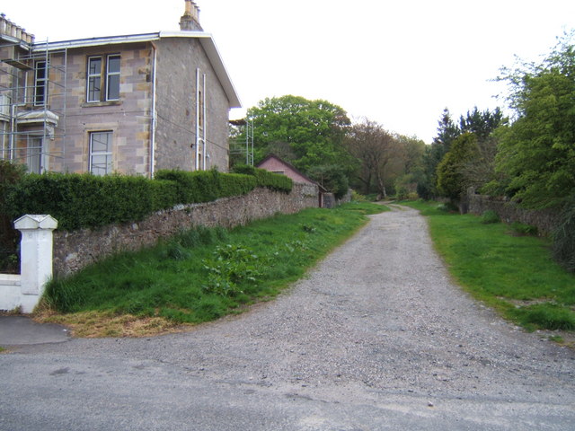
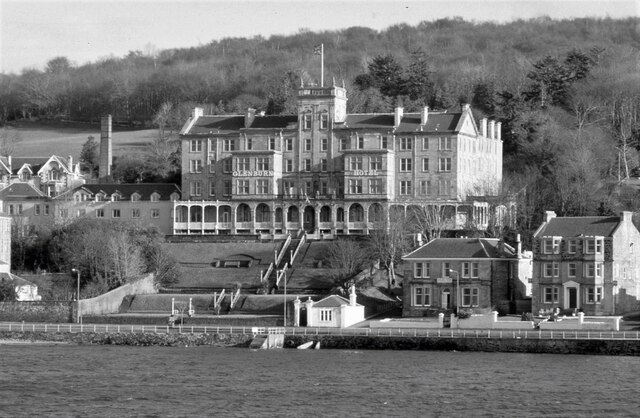
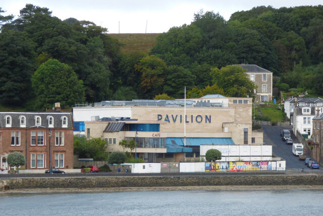
Rothesay

Rothesay ( ROTH-see; Scottish Gaelic: Baile Bhòid [ˈpalə ˈvɔːtʲ]) is the principal town on the Isle of Bute, in the council area of Argyll and Bute, Scotland...

West Island Way

The West Island Way is a waymarked long distance footpath on the Isle of Bute. The route opened in September 2000 as part of Bute's millennium celebrations...

Rothesay Academy

Rothesay Academy is a secondary school in the town of Rothesay on the Isle of Bute. == Feeder schools == Rothesay Academy has 3 associated primary schools...

Ardbeg, Bute

Ardbeg is a small settlement on the island of Bute in Scotland, in Argyll and Bute (grid reference NS0866). It is on the south side of Port Bannatyne....

Nearby Amenities

Located within 500m of 55.837757,-5.0651136
Mini Roundabout
Lat/Long: 55.8382568/-5.0576881
Bus Stop
Bus: yes
Public Transport: platform
Lat/Long: 55.8387603/-5.0586314
Bus Stop
Bus: yes
Public Transport: platform
Lat/Long: 55.8383494/-5.0579201
Post Box
Collection Times: Mo-Fr 09:00; Sa 07:00
Operator: Royal Mail
Operator Wikidata: Q638098
Post Box Type: wall
Ref: PA20 16D
Royal Cypher: scottish_crown
Source: survey
Lat/Long: 55.838255/-5.0578049
Post Box
Collection Times: Mo-Fr 16:00; Sa 11:00
Operator: Royal Mail
Operator Wikidata: Q638098
Post Box Type: pillar
Ref: PA20 8
Royal Cypher: scottish_crown
Source: survey
Lat/Long: 55.8411288/-5.0616911
Bus Stop
Bench: yes
Bin: no
Bus: yes
Lit: yes
Public Transport: platform
Shelter: yes
Tactile Paving: no
Lat/Long: 55.8411882/-5.0614375
Bus Stop
Bus: yes
Public Transport: platform
Shelter: yes
Lat/Long: 55.8394871/-5.0598726
Restaurant
Brechin's On Bridgend Street
Addr Housenumber: 2
Addr Postcode: PA20 0HU
Addr Street: Bridgend Street
Cuisine: regional
Fhrs Id: 6899
Website: http://www.brechins-bute.com/
Lat/Long: 55.8374268/-5.0576597
The Fyne Group - Fyne Homes and Fyne Subsidiaries
Addr Housename: The Fyne Group
Addr Housenumber: 81
Addr Postcode: PA20 0AP
Addr Street: Victoria Street
Int Name: http://www.fynehomes.org.uk/fynegroup.html
Source: Bing
Lat/Long: 55.8379909/-5.0573669
Crossing
Crossing: uncontrolled
Crossing Ref: zebra
Source: Bing
Lat/Long: 55.8381159/-5.0573382
Bute Backpackers Hotel
Addr City: Rothesay
Addr Country: GB
Addr Housenumber: 36
Addr Postcode: PA20 0AX
Addr Street: Argyle Street
Email: butebackpackers@hotmail.com
Internet Access: yes
Internet Access Fee: no
Phone: +44 1700 501876
Tourism: hostel
Website: http://www.butebackpackers.co.uk/
Lat/Long: 55.8399548/-5.0605711
Historic: memorial
Memorial: statue
Lat/Long: 55.8389522/-5.0586653
Telephone
Booth: KX100
Covered: booth
Operator: BT
Operator Wikidata: Q593786
Phone: +44 1700 504103
Source: survey
Lat/Long: 55.8389973/-5.0586704
Recycling
Bridgend Street Garden
Recycling Cans: yes
Recycling Paper: yes
Recycling Plastic: yes
Lat/Long: 55.8371064/-5.0575158
Recycling
Collumnshill Residents Bring Site
Description: Residents recycling point - 2 x 240l paper; 2 x 240l plastics, 2 x 240 cans
Operator: Fyne Futures
Recycling Cans: yes
Recycling Paper: yes
Recycling Plastic: yes
Lat/Long: 55.8370584/-5.0583624
Post Box
Post Box Type: wall
Ref: PA20 11
Royal Cypher: GR
Royal Cypher Wikidata: Q33102273
Lat/Long: 55.8368313/-5.0601189
Place Of Worship
St Andrew's
Denomination: roman_catholic
Religion: christian
Wikidata: Q2323868
Lat/Long: 55.8362498/-5.0581031
Post Box
Post Box Type: wall
Ref: PA20 41
Royal Cypher: EVIIR
Royal Cypher Wikidata: Q33102324
Lat/Long: 55.8394852/-5.0624444
Post Box
Collection Times: Mo-Fr 15:30; Sa 11:00
Operator: Royal Mail
Operator Wikidata: Q638098
Post Box Type: pillar
Ref: PA20 34
Royal Cypher: GR
Royal Cypher Wikidata: Q33102273
Source: survey
Lat/Long: 55.8353959/-5.0585463
Fast Food
Rayan
Addr City: Rothesay
Addr Housenumber: 16
Addr Postcode: PA20 0HR
Addr Street: Gallowgate
Cuisine: syrian
Fhrs Id: 1091253
Source: survey
Takeaway: only
Lat/Long: 55.837849/-5.0575215
The Barber Shop
Shop: hairdresser
Lat/Long: 55.8369794/-5.0579826
Cafe
The Dairy
Lat/Long: 55.8370096/-5.0578914
Howat's Housekeeping & Property Services
Email: hhps.bute@gmail.com
Shop: yes
Website: https://www.hhpsbute.com/
Lat/Long: 55.8370578/-5.0578458
Shop: vacant
Lat/Long: 55.837112/-5.0577921
Shop: vacant
Lat/Long: 55.8389253/-5.0591024
West Bay Homes & Antiques Emporium
Addr City: Rothesay
Addr Street: Argyle Street
Shop: antiques
Lat/Long: 55.8388717/-5.0589986
Cafe
Zavaroni's
Addr City: Rothesay
Addr Street: Argyle Street
Lat/Long: 55.8388215/-5.0589014
Architect
Office: yes
Lat/Long: 55.8387865/-5.0588338
Louvolite
Shop: blinds
Lat/Long: 55.8387619/-5.0587861
D C Murray & Co
Operator: DIY
Shop: convenience
Lat/Long: 55.8387178/-5.0587009
Shop: vacant
Lat/Long: 55.8387047/-5.0586755
Shop: vacant
Lat/Long: 55.8386694/-5.0586071
Veterinary
Bute & Cowal Vets
Addr City: Rothesay
Addr Housenumber: 17
Addr Street: Argyle Street
Lat/Long: 55.838614/-5.0584999
Shop: vacant
Lat/Long: 55.8385747/-5.0584238
Shop: vacant
Lat/Long: 55.8385113/-5.058301
Fast Food
Three in One
Addr City: Rothesay
Addr Housenumber: 10
Addr Postcode: PA20 0AT
Addr Street: Argyle Street
Cuisine: pizza;kebab;curry
Drive Through: yes
Fhrs Id: 9527
Lat/Long: 55.8384419/-5.0581668
Old Name: Robert G McKenzie
Shop: vacant
Lat/Long: 55.8384232/-5.0581306
Fast Food
India Pavilion
Addr City: Rothesay
Addr Housenumber: 7
Addr Postcode: PA20 0AT
Addr Street: Argyle Street
Fhrs Id: 2515
Lat/Long: 55.8384008/-5.0580872
Bute Oasis
Addr City: Rothesay
Addr Housenumber: 6
Addr Postcode: PA20 0AT
Addr Street: Argyle Street
Shop: charity
Lat/Long: 55.8383682/-5.0580242
Self Service: yes
Shop: laundry
Lat/Long: 55.8383376/-5.0579648
Shoes & Tattoos
Shop: vacant
Lat/Long: 55.8382982/-5.0578886
Shop: yes
Lat/Long: 55.8382726/-5.0578391
Argyle Guest House
Addr Country: GB
Addr Housenumber: 3
Addr Postcode: PA20 0AZ
Addr Street: Argyle Place
Fhrs Id: 1230029
Survey Date: 2020-02-28
Tourism: guest_house
Lat/Long: 55.8413423/-5.0620928
St John 292
Addr City: Isle of Bute
Addr Housenumber: 3
Addr Postcode: PA20 0BJ
Addr Street: Chapel Hill Road
Addr Suburb: Rothesay
Club: freemasonry
Lat/Long: 55.8382772/-5.0587797
Communication Mobile Phone: yes
Man Made: mast
Tower Type: communication
Lat/Long: 55.8383615/-5.0634089
Give Way
Direction: forward
Lat/Long: 55.8374905/-5.0574584
Give Way
Direction: backward
Lat/Long: 55.8374943/-5.0576053
Give Way
Direction: forward
Lat/Long: 55.8370233/-5.0577561
The data included in this document is from www.openstreetmap.org. The data is made available under ODbL.

Have you been to Long Hill?

Leave your review of Long Hill below (or comments, questions and feedback).