Buteshire

Historic County in

Scotland

Buteshire

Yacht off Bogany Point Bogany Point is visible in the distance, viewed from a ferry leaving Rothesay.
Yacht off Bogany Point Credit: Thomas Nugent

Buteshire, also known as the County of Bute, was a historic county located in the western part of Scotland. It encompassed the islands of Bute, Arran, and Cumbrae, along with several smaller islands in the Firth of Clyde. The county had a rich history dating back to ancient times.

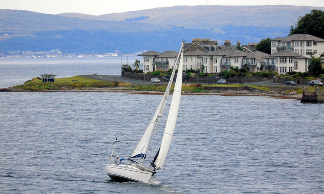
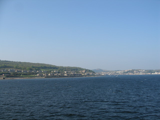
The largest and most populous island in Buteshire was Bute, which was known for its picturesque landscapes and historic sites. The town of Rothesay served as the county's administrative center and a popular tourist destination. Rothesay Castle, a well-preserved medieval fortress, was a major attraction for visitors.

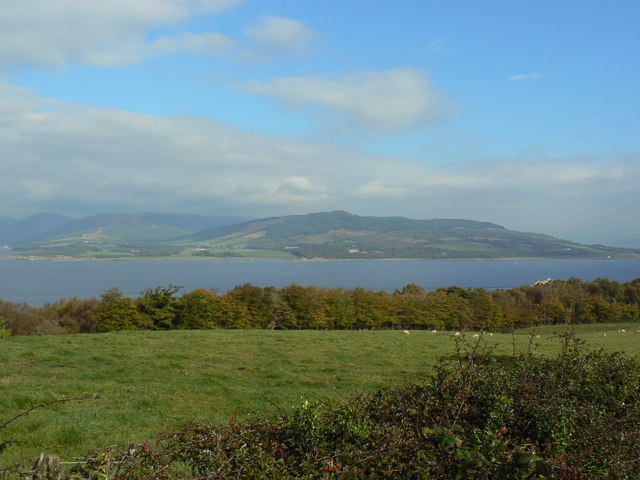
Arran, the second-largest island, offered stunning natural beauty with its rugged mountains, tranquil lochs, and diverse wildlife. The island was renowned for its outdoor activities such as hiking, cycling, and fishing. The Isle of Cumbrae, though smaller in size, was also popular among tourists for its sandy beaches and scenic coastal views.

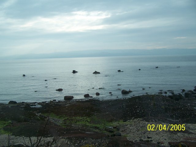
Buteshire's economy was primarily based on agriculture, fishing, and tourism. The fertile lands of Bute supported farming, particularly sheep rearing and dairy production. The county's coastal location facilitated a thriving fishing industry, with herring being the most commercially important catch.

In 1975, with the reorganization of local government, Buteshire was abolished as a county and its territories were divided into different council areas. However, the islands of Bute, Arran, and Cumbrae remain popular tourist destinations, attracting visitors with their idyllic landscapes, historic sites, and welcoming communities.

If you have any feedback on the listing, please let us know in the comments section below.
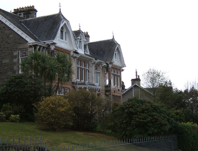
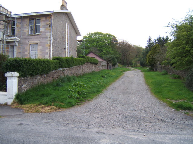
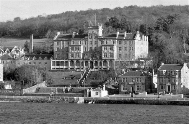
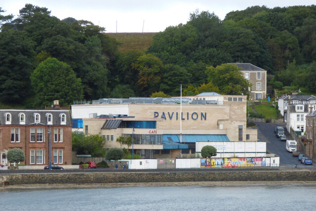
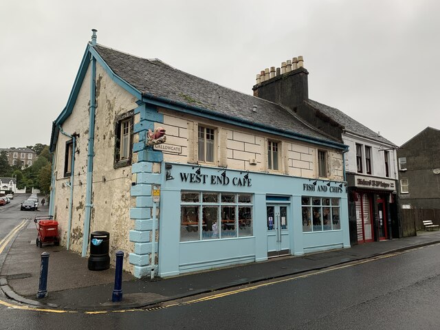
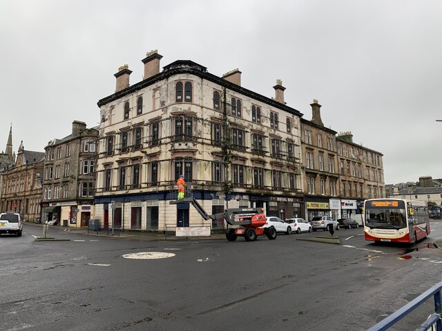
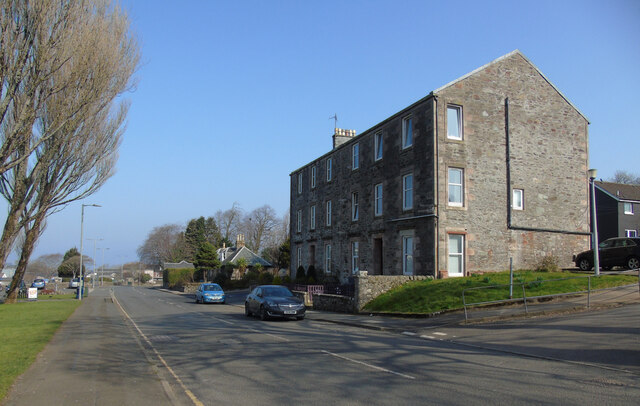
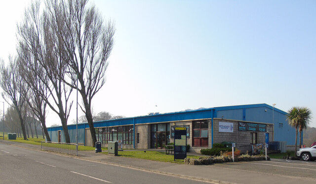
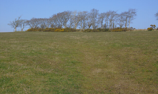
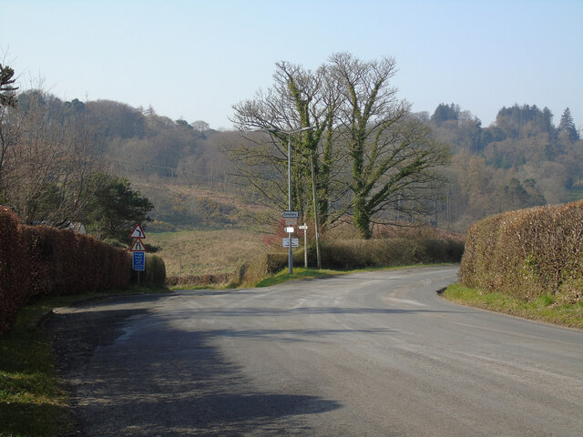
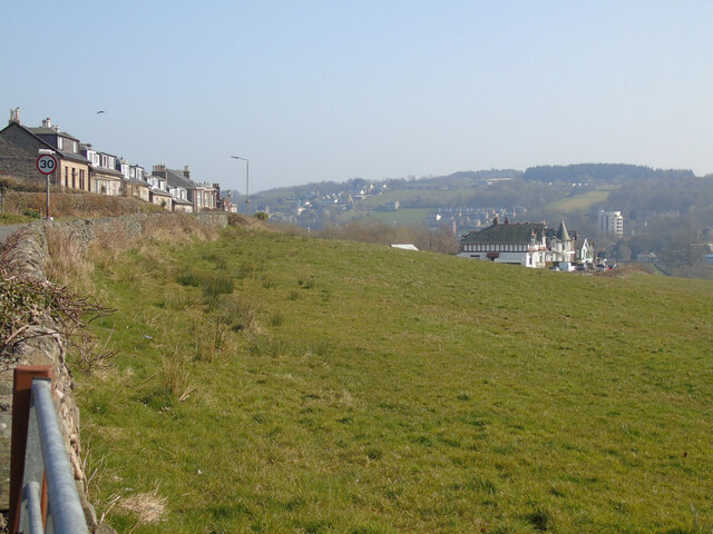
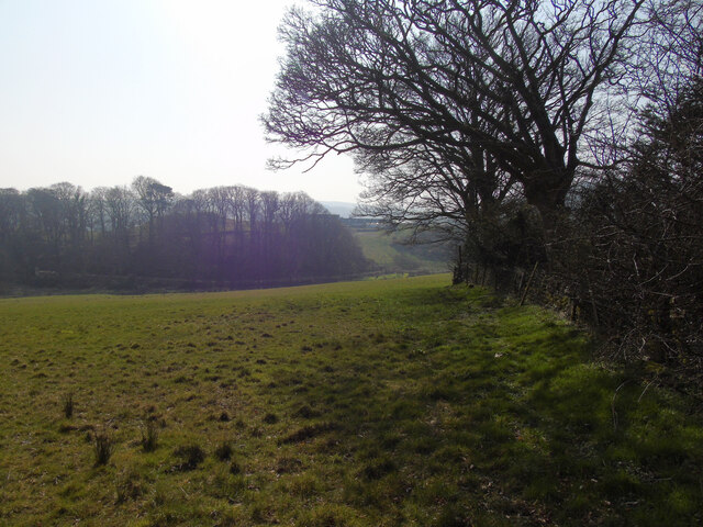
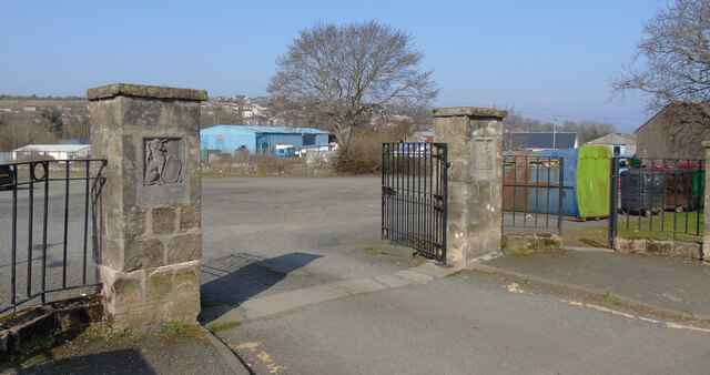
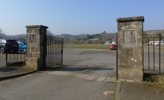
Buteshire Images

Images are sourced within 2km of 55.835/-5.058 or Grid Reference NS0864. Thanks to Geograph Open Source API. All images are credited.

Yacht off Bogany Point Bogany Point is visible in the distance, viewed from a ferry leaving Rothesay.
Yacht off Bogany Point
Bogany Point is visible in the distance, viewed from a ferry leaving Rothesay.
Seals
Seals
Rothesay, View over Bogany Wood Looking across to Toward Castle and Buachailean
Rothesay, View over Bogany Wood
Looking across to Toward Castle and Buachailean
Rothesay Bay Passing Bogany Point on route to Rothesay.
Rothesay Bay
Passing Bogany Point on route to Rothesay.
Housing on Crichton Road Admirable.
Housing on Crichton Road
Admirable.
Track into Bogany Wood Leading off Crichton Road.
Track into Bogany Wood
Leading off Crichton Road.
The Glenburn Hotel Originally constructed in 1843, the hotel was rebuilt 1882-84. It is Category B listed <span class="nowrap"><a title="http://portal.historicenvironment.scot/designation/LB44849" rel="nofollow ugc noopener" href="http://portal.historicenvironment.scot/designation/LB44849">Link</a><img style="margin-left:2px;" alt="External link" title="External link - shift click to open in new window" src="https://s1.geograph.org.uk/img/external.png" width="10" height="10"/></span>.

Seen from a Wemyss Bay to Rothesay ferry. Camera location approximate.

Scanned from an AGFA colour transparency.
The Glenburn Hotel
Originally constructed in 1843, the hotel was rebuilt 1882-84. It is Category B listed LinkExternal link. Seen from a Wemyss Bay to Rothesay ferry. Camera location approximate. Scanned from an AGFA colour transparency.
Rothesay Pavilion Work to renovate the Category A Listed building <span class="nowrap"><a title="http://portal.historicenvironment.scot/designation/LB40452" rel="nofollow ugc noopener" href="http://portal.historicenvironment.scot/designation/LB40452">Link</a><img style="margin-left:2px;" alt="External link" title="External link - shift click to open in new window" src="https://s1.geograph.org.uk/img/external.png" width="10" height="10"/></span> appears to have stalled due to the coronavirus (covid-19) pandemic. Viewed from a ferry approaching Rothesay pier.
Rothesay Pavilion
Work to renovate the Category A Listed building LinkExternal link appears to have stalled due to the coronavirus (covid-19) pandemic. Viewed from a ferry approaching Rothesay pier.
West End Cafe Gallowgate, Rothesay.
West End Cafe
Gallowgate, Rothesay.
Former Royal Hotel, Rothesay On Albert Place, Rothesay.
Former Royal Hotel, Rothesay
On Albert Place, Rothesay.
High Street, Rothesay Looking along the B881 High Street towards the town centre at the health centre.
High Street, Rothesay
Looking along the B881 High Street towards the town centre at the health centre.
Rothesay Leisure Centre On High Street on the outskirts of town.
Rothesay Leisure Centre
On High Street on the outskirts of town.
Field off Barone Road On the outskirts of Rothesay.
Field off Barone Road
On the outskirts of Rothesay.
The B878 Barone Road The junction at Barone Cottage.
The B878 Barone Road
The junction at Barone Cottage.
Field off Barone Road The houses on the left are on Barone Road.
Field off Barone Road
The houses on the left are on Barone Road.
Field off Barone Road Barone Cottage is out of sight immediately to the right.
Field off Barone Road
Barone Cottage is out of sight immediately to the right.
King George V Playing Fields gates, Rothesay At the entrance to the park on High Street.
King George V Playing Fields gates, Rothesay
At the entrance to the park on High Street.
King George V Playing Fields gates, Rothesay At the entrance to the park on High Street.
King George V Playing Fields gates, Rothesay
At the entrance to the park on High Street.
Show me another place!

Buteshire is located at Grid Ref: NS0864 (Lat: 55.835, Lng: -5.058)

What 3 Words

///strain.wage.hubcaps. Near Rothesay, Argyll & Bute

Related Wikis

Rothesay Town Hall and County Buildings

Rothesay Town Hall and County Buildings is a former municipal building in Castle Street, Rothesay, Scotland. The structure, which was the meeting place...

Bute FM

Bute FM is a Community Radio station for the Isle of Bute, broadcasting in stereo on 96.5 FM and simultaneously broadcasting online via a live internet...

West Pier Public Convenience

The West Pier Public Convenience or Victorian Toilets is a public toilet on the west pier of the harbour of Rothesay on the Isle of Bute. It opened in...

Rothesay

Rothesay ( ROTH-see; Scottish Gaelic: Baile Bhòid [ˈpalə ˈvɔːtʲ]) is the principal town on the Isle of Bute, in the council area of Argyll and Bute, Scotland...

Victoria Hospital, Rothesay

Victoria Hospital is a health facility in High Street, Rothesay, Scotland. It is managed by NHS Highland. == History == The facility has its origins in...

Rothesay Academy

Rothesay Academy is a secondary school in the town of Rothesay on the Isle of Bute. == Feeder schools == Rothesay Academy has 3 associated primary schools...

West Island Way

The West Island Way is a waymarked long distance footpath on the Isle of Bute. The route opened in September 2000 as part of Bute's millennium celebrations...

Kirk Dam

Kirk Dam is an impounding dam, located 1.5 kilometres south of Rothesay, and is separated by a causeway from the much larger Loch Fad to the south-west...

Nearby Amenities

Located within 500m of 55.835,-5.058
Rothesay
Name En: Rothesay
Name Gd: Baile Bhòid
Name Sco: Rossay
Place: town
Population: 4310
Wikidata: Q1818828
Wikipedia: en:Rothesay
Lat/Long: 55.8373085/-5.0522439
Mini Roundabout
Lat/Long: 55.8382568/-5.0576881
Parking
Lat/Long: 55.8373636/-5.053715
Isle of Bute Discovery Centre
Tourism: information
Lat/Long: 55.8381277/-5.0556166
Restaurant
Squat Lobster
Lat/Long: 55.8380703/-5.0546323
Bus Stop
Bus: yes
Public Transport: platform
Lat/Long: 55.8387603/-5.0586314
Bus Stop
Bus: yes
Naptan AtcoCode: 60709001
Naptan NaptanCode: 54723836
Public Transport: platform
Shelter: yes
Lat/Long: 55.8377969/-5.0534829
Bus Stop
Bus: yes
Public Transport: platform
Lat/Long: 55.8380801/-5.05606
Bus Stop
Bus: yes
Public Transport: platform
Lat/Long: 55.8383494/-5.0579201
Post Box
Collection Times: Mo-Fr 09:00; Sa 07:00
Operator: Royal Mail
Operator Wikidata: Q638098
Post Box Type: wall
Ref: PA20 16D
Royal Cypher: scottish_crown
Source: survey
Lat/Long: 55.838255/-5.0578049
Toilets
Rothesay Victorian Toilets
Changing Table: yes
Fee: yes
Shower: yes
Tourism: attraction
Wheelchair: yes
Lat/Long: 55.8386357/-5.0543794
Post Box
Collection Times: Mo-Fr 16:45; Sa 11:30
Operator: Royal Mail
Operator Wikidata: Q638098
Post Box Type: pillar
Postal Code: PA20
Ref: PA20 17
Royal Cypher: VR
Royal Cypher Wikidata: Q33102356
Lat/Long: 55.8376146/-5.0530471
Post Box
Collection Times: Mo-Fr 09:00; Sa 07:00
Operator: Royal Mail
Operator Wikidata: Q638098
Post Box Design: reproduction_penfold
Post Box Type: pillar
Postal Code: PA20
Ref: PA20 100D
Royal Cypher: VR
Royal Cypher Wikidata: Q33102356
Lat/Long: 55.8380666/-5.0557201
Bus Stop
Bus: yes
Public Transport: platform
Shelter: yes
Lat/Long: 55.8376011/-5.0536438
Parking
Parking: surface
Lat/Long: 55.837632/-5.0516964
Leisure: slipway
Maxload: 2.5t
Operating: cable_winch
Lat/Long: 55.8378607/-5.0527369
Seamark Fog Signal Category: bell
Seamark Information: Bell: Sounded when vessels are expected.
Seamark Light Category: vertical
Seamark Light Character: F
Seamark Light Colour: red
Seamark Light Height: 7
Seamark Light Multiple: 2
Seamark Light Range: 5
Seamark Light Reference: A 4370
Seamark Type: light_minor
Source: US NGA Pub. 114. 2011-05-26.
Lat/Long: 55.8390418/-5.0550361
Pub
Black Bull
Addr City: Rothesay
Addr Housenumber: 10
Addr Postcode: PA20 9AG
Addr Street: Albert Place
Fhrs Id: 1020283
Lat/Long: 55.8375664/-5.0526825
Pharmacy
Lloyds Pharmacy
Brand: Lloyds Pharmacy
Brand Wikidata: Q6662870
Brand Wikipedia: en:LloydsPharmacy
Dispensing: yes
Healthcare: pharmacy
Lat/Long: 55.8377378/-5.0552245
Victoria Hotel
Addr Housenumber: 55
Addr Postcode: PA20 0AP
Addr Street: Victoria Street
Fhrs Id: 22849
Source Addr: FHRS Open Data
Tourism: hotel
Lat/Long: 55.8378563/-5.0564039
Parking
Capacity: 3
Capacity Disabled: 3
Parking: surface
Lat/Long: 55.8387031/-5.0535376
Bicycle Parking
Bicycle Parking: stands
Capacity: 8
Lat/Long: 55.8386338/-5.0539166
Restaurant
Brechin's On Bridgend Street
Addr Housenumber: 2
Addr Postcode: PA20 0HU
Addr Street: Bridgend Street
Cuisine: regional
Fhrs Id: 6899
Website: http://www.brechins-bute.com/
Lat/Long: 55.8374268/-5.0576597
Recycling
Fyne Futures - Recycling & Bio Diesel -
Contact Website: https://www.fynefutures.org.uk/
Recycling Books: yes
Recycling Cans: yes
Recycling Cardboard: yes
Recycling Cartons: yes
Recycling Clothes: yes
Recycling Newspaper: yes
Recycling Paper: yes
Recycling Paper Packaging: yes
Recycling Plastic Bottles: yes
Recycling Type: centre
Source: Operator
Lat/Long: 55.83401/-5.0561276
Recycling
Bring Site
Description: 1 X 360 signed paper; 2 x can bins; 2 X 1100 plastics
Recycling Cans: yes
Recycling Cardboard: no
Recycling Paper: yes
Recycling Plastic Bottles: yes
Recycling Type: container
Lat/Long: 55.8363598/-5.0531879
Towards Zero Carbon Bute (TZCB)
Addr Housename: 1st Floor
Addr Housenumber: 7
Addr Postcode: PA20 9HA
Addr Street: Castle Street
Source: Bing Aerial Imagery
Lat/Long: 55.8363637/-5.0531294
The Fyne Group - Fyne Homes and Fyne Subsidiaries
Addr Housename: The Fyne Group
Addr Housenumber: 81
Addr Postcode: PA20 0AP
Addr Street: Victoria Street
Int Name: http://www.fynehomes.org.uk/fynegroup.html
Source: Bing
Lat/Long: 55.8379909/-5.0573669
Mini Roundabout
Lat/Long: 55.837684/-5.0519836
Fast Food
Turkish Grill
Addr City: Rothesay
Addr Housenumber: 72
Addr Postcode: PA20 0AP
Addr Street: Victoria Street
Fhrs Id: 1095394
Source: OSM Note #402613
Source Addr: FHRS Open Data
Lat/Long: 55.8379006/-5.056824
Crossing
Crossing: uncontrolled
Crossing Ref: zebra
Source: Bing
Lat/Long: 55.8381159/-5.0573382
Shelter
Lat/Long: 55.8383904/-5.0546679
Heritage: yes
Historic: memorial
Wikidata: Q77782185
Lat/Long: 55.83791/-5.0546621
Post Office
Rothesay Post Office
Addr Postcode: PA20 9AB
Branch: Rothesay
Brand: Post Office
Brand Wikidata: Q1783168
Check Date: 2020-02-20
Contact Website: https://www.postoffice.co.uk/branch-finder/1038591/rothesay
Ref Pol Id: 1355
Lat/Long: 55.8375642/-5.0529921
Fountain
Lat/Long: 55.8384205/-5.0571472
Historic: memorial
Memorial: statue
Lat/Long: 55.8389522/-5.0586653
Telephone
Booth: KX100
Covered: booth
Operator: BT
Operator Wikidata: Q593786
Phone: +44 1700 504103
Source: survey
Lat/Long: 55.8389973/-5.0586704
Recycling
Montague Street
Description: Orbis style for recycling on the go
Operator: Fyne Futures
Recycling Cans: yes
Recycling Paper: yes
Recycling Plastic: yes
Lat/Long: 55.8375487/-5.0563319
Recycling
Bridgend Street Garden
Recycling Cans: yes
Recycling Paper: yes
Recycling Plastic: yes
Lat/Long: 55.8371064/-5.0575158
Recycling
Collumnshill Residents Bring Site
Description: Residents recycling point - 2 x 240l paper; 2 x 240l plastics, 2 x 240 cans
Operator: Fyne Futures
Recycling Cans: yes
Recycling Paper: yes
Recycling Plastic: yes
Lat/Long: 55.8370584/-5.0583624
Recycling
Minister's Brae Residents Bring Site
Description: 2 x 240l paper, 2 x 240l plastics, 2 x 240l cans
Operator: Fyne Futures
Recycling Cans: yes
Recycling Paper: yes
Recycling Plastic: yes
Lat/Long: 55.8337007/-5.0546466
Recycling
Glebe Terrace Residents Bring Sits
Description: 2 x 240l paper, 2 x 240l plastics, 2 x 240l can
Operator: Fyne Futures
Recycling Cans: yes
Recycling Paper: yes
Recycling Plastic: yes
Lat/Long: 55.8333633/-5.053681
Post Box
Post Box Type: wall
Ref: PA20 11
Royal Cypher: GR
Royal Cypher Wikidata: Q33102273
Lat/Long: 55.8368313/-5.0601189
Place Of Worship
St Andrew's
Denomination: roman_catholic
Religion: christian
Wikidata: Q2323868
Lat/Long: 55.8362498/-5.0581031
Post Box
Collection Times: Mo-Fr 15:30; Sa 11:00
Operator: Royal Mail
Operator Wikidata: Q638098
Post Box Type: pillar
Ref: PA20 34
Royal Cypher: GR
Royal Cypher Wikidata: Q33102273
Source: survey
Lat/Long: 55.8353959/-5.0585463
Post Box
Collection Times: Mo-Fr 15:30; Sa 11:00
Operator: Royal Mail
Operator Wikidata: Q638098
Post Box Type: wall
Ref: PA20 9
Royal Cypher: VR
Royal Cypher Wikidata: Q33102356
Source: survey
Lat/Long: 55.8361476/-5.0513051
Post Box
Collection Times: Mo-Fr 15:30; Sa 11:00
Operator: Royal Mail
Operator Wikidata: Q638098
Post Box Type: pillar
Ref: PA20 7
Royal Cypher: EVIIR
Royal Cypher Wikidata: Q33102324
Source: survey
Lat/Long: 55.833489/-5.0555511
Post Box
Post Box Type: wall
Ref: PA20 26
Royal Cypher: EVIIR
Royal Cypher Wikidata: Q33102324
Lat/Long: 55.8331741/-5.051662
Post Box
Collection Times: Mo-Fr 15:30; Sa 11:00
Operator: Royal Mail
Operator Wikidata: Q638098
Post Box Type: pillar
Ref: PA20 10
Royal Cypher: GR
Royal Cypher Wikidata: Q33102273
Source: survey
Lat/Long: 55.8348747/-5.0564711
Jessmays
Shop: greengrocer
Lat/Long: 55.8372683/-5.0521017
Post Depot
Lat/Long: 55.8370921/-5.0521688
Pub
Golfers Bar
Addr City: Rothesay
Addr Housenumber: 3
Addr Postcode: PA20 9DL
Addr Street: East Princes Street
Fhrs Id: 20926
Lat/Long: 55.8373426/-5.0518067
Print Point
Shop: stationery
Lat/Long: 55.8373285/-5.0521045
Post Box
Collection Times: Mo-Fr 17:15; Sa 12:00
Note: LH aperture blocked up
Operator: Royal Mail
Operator Wikidata: Q638098
Post Box Apertures: 2
Post Box Type: wall
Ref: PA20 1111
Source: survey
Lat/Long: 55.8370454/-5.0520991
Liz's Cupcake Heaven
Shop: bakery
Lat/Long: 55.8372155/-5.0520992
Charging Station
Operator: Charge Your Car
Operator Wikidata: Q117706187
Lat/Long: 55.8374123/-5.0537174
Bank
Bank of Scotland
Addr Country: GB
Brand: Bank of Scotland
Brand Wikidata: Q627381
Brand Wikipedia: en:Bank of Scotland
Contact Website: https://branches.bankofscotland.co.uk/rothesay/36/42-montague-street
Drive Through: no
Lat/Long: 55.8374116/-5.0549447
Atm
Brand: Bank of Scotland
Brand Wikidata: Q627381
Drive Through: no
Operator: Bank of Scotland
Operator Wikidata: Q627381
Lat/Long: 55.8373989/-5.0548845
Bank
TSB
Brand: TSB
Brand Wikidata: Q7671560
Brand Wikipedia: en:TSB Bank (United Kingdom)
Drive Through: no
Lat/Long: 55.8372694/-5.0548496
Atm
Brand: TSB
Brand Wikidata: Q7671560
Drive Through: no
Operator: TSB
Operator Wikidata: Q7671560
Lat/Long: 55.837295/-5.0548845
Bute Tools
Addr City: Rothesay
Addr Housenumber: 45-55
Addr Street: Montague Street
Shop: hardware
Lat/Long: 55.8373101/-5.0550052
Cafe
musicker
Addr City: Rothesay
Addr Housenumber: 11
Addr Postcode: PA20 0AS
Addr Street: High Street
Fhrs Id: 31914
Lat/Long: 55.8370585/-5.0541817
Cafe
Cafe Zavaroni
Addr City: Rothesay
Addr Housenumber: 13
Addr Postcode: PA20 9AG
Addr Street: Albert Place
Fhrs Id: 1520
Lat/Long: 55.8375652/-5.0528445
Co-op Food
Addr City: Rothesay
Addr Housenumber: 15 - 19
Addr Postcode: PA20 9DA
Addr Street: Montague Street
Brand: Co-op Food
Brand Wikidata: Q3277439
Operator: The Co-operative Group
Operator Wikidata: Q117202
Shop: supermarket
Website: https://www.coop.co.uk/store-finder/PA20-9DA/15-19-montague-street
Lat/Long: 55.837196/-5.0537449
Fast Food
Rayan
Addr City: Rothesay
Addr Housenumber: 16
Addr Postcode: PA20 0HR
Addr Street: Gallowgate
Cuisine: syrian
Fhrs Id: 1091253
Source: survey
Takeaway: only
Lat/Long: 55.837849/-5.0575215
The Barber Shop
Shop: hairdresser
Lat/Long: 55.8369794/-5.0579826
Cafe
The Dairy
Lat/Long: 55.8370096/-5.0578914
Howat's Housekeeping & Property Services
Email: hhps.bute@gmail.com
Shop: yes
Website: https://www.hhpsbute.com/
Lat/Long: 55.8370578/-5.0578458
Shop: vacant
Lat/Long: 55.837112/-5.0577921
Addr City: Rothesay
Addr Housenumber: 69
Addr Postcode: PA20 0AP
Addr Street: Victoria Street
Disused Shop: yes
Lat/Long: 55.8378921/-5.0567429
Mave's Lucky Box
Disused Shop: variety_store
Lat/Long: 55.8378835/-5.0566613
Restaurant
Prince of India
Addr City: Rothesay
Addr Postcode: PA20 0AP
Addr Street: Victoria Street
Cuisine: indian
Lat/Long: 55.8378757/-5.0565883
Bute Factors Ltd.
Addr City: Rothesay
Addr Housenumber: 53
Addr Postcode: PA20 0AP
Addr Street: Victoria Street
Office: accountant
Lat/Long: 55.8378363/-5.0562145
The Wee Scottish Shop
Shop: gift
Lat/Long: 55.837827/-5.0561271
Butterflies
Shop: gift
Lat/Long: 55.8378148/-5.0560113
W Glen Footwear
Shop: shoes
Lat/Long: 55.8377999/-5.0558706
For Bute
Addr City: Isle of Bute
Addr Housenumber: 39
Addr Street: Victoria Street
Addr Suburb: Rothesay
Contact Facebook: https://www.facebook.com/people/For-Bute/100066394916963/
Shop: charity
Lat/Long: 55.8377903/-5.0557928
Note: looks like an disused bank
Shop: vacant
Lat/Long: 55.8377626/-5.0555257
M&Bs Pound Plus
Addr City: Rothesay
Addr Housenumber: 17
Addr Street: Victoria Street
Shop: variety_store
Lat/Long: 55.837753/-5.0553639
Pharmacy
Lloyds Pharmacy
Brand: Lloyds Pharmacy
Brand Wikidata: Q6662870
Brand Wikipedia: en:LloydsPharmacy
Dispensing: yes
Healthcare: pharmacy
Lat/Long: 55.8373659/-5.0545056
High Spirit Drinks
Shop: alcohol
Lat/Long: 55.8372014/-5.0541047
Cafe
The Coffee Stop
Addr City: Rothesay
Addr Housenumber: 29
Addr Postcode: PA20 9AS
Addr Street: High Street
Fhrs Id: 642392
Lat/Long: 55.8367536/-5.054056
Restaurant
Harry Haw's
Addr City: Rothesay
Addr Housenumber: 23-25
Addr Postcode: PA20 9AS
Addr Street: High Street
Fhrs Id: 667589
Lat/Long: 55.8368388/-5.0540977
Restaurant
Sea Dragon Restaurant
Addr City: Rothesay
Addr Housenumber: 4
Addr Postcode: PA20 9DL
Addr Street: East Princes Street
Cuisine: chinese
Fhrs Id: 20927
Lat/Long: 55.8373943/-5.0517199
Buckeridge Installations
Addr City: Rothesay
Addr Housenumber: 5
Addr Postcode: PA20 9DL
Addr Street: East Princes Street
Craft: electrician
Lat/Long: 55.837423/-5.0516717
Elles
Shop: hairdresser
Lat/Long: 55.8374575/-5.0516138
Bussey's Beds & Carpets
Addr City: Rothesay
Addr Street: East Princes Street
Contact Facebook: https://www.facebook.com/Busseys-Beds-Carpets-299649323855173/
Opening Hours: Mo-Fr 10:00-17:00; We off; Sa 12:00-15:30
Phone: +44 1700 505029
Shop: bed
Lat/Long: 55.8375204/-5.0515081
Fast Food
Zavaroni's
Addr City: Rothesay
Addr Housenumber: 13
Addr Postcode: PA20 9DL
Addr Street: East Princes Street
Cuisine: fish_and_chips
Fhrs Id: 1032052
Lat/Long: 55.8375702/-5.0514244
Defibrillator
Emergency: defibrillator
Note: on external wall of Mac's Bar
Source: survey
Lat/Long: 55.8371051/-5.0551865
Shop: vacant
Lat/Long: 55.8389253/-5.0591024
West Bay Homes & Antiques Emporium
Addr City: Rothesay
Addr Street: Argyle Street
Shop: antiques
Lat/Long: 55.8388717/-5.0589986
Cafe
Zavaroni's
Addr City: Rothesay
Addr Street: Argyle Street
Lat/Long: 55.8388215/-5.0589014
Architect
Office: yes
Lat/Long: 55.8387865/-5.0588338
Louvolite
Shop: blinds
Lat/Long: 55.8387619/-5.0587861
D C Murray & Co
Operator: DIY
Shop: convenience
Lat/Long: 55.8387178/-5.0587009
Shop: vacant
Lat/Long: 55.8387047/-5.0586755
Shop: vacant
Lat/Long: 55.8386694/-5.0586071
Veterinary
Bute & Cowal Vets
Addr City: Rothesay
Addr Housenumber: 17
Addr Street: Argyle Street
Lat/Long: 55.838614/-5.0584999
Shop: vacant
Lat/Long: 55.8385747/-5.0584238
Shop: vacant
Lat/Long: 55.8385113/-5.058301
Fast Food
Three in One
Addr City: Rothesay
Addr Housenumber: 10
Addr Postcode: PA20 0AT
Addr Street: Argyle Street
Cuisine: pizza;kebab;curry
Drive Through: yes
Fhrs Id: 9527
Lat/Long: 55.8384419/-5.0581668
Old Name: Robert G McKenzie
Shop: vacant
Lat/Long: 55.8384232/-5.0581306
Fast Food
India Pavilion
Addr City: Rothesay
Addr Housenumber: 7
Addr Postcode: PA20 0AT
Addr Street: Argyle Street
Fhrs Id: 2515
Lat/Long: 55.8384008/-5.0580872
Bute Oasis
Addr City: Rothesay
Addr Housenumber: 6
Addr Postcode: PA20 0AT
Addr Street: Argyle Street
Shop: charity
Lat/Long: 55.8383682/-5.0580242
Self Service: yes
Shop: laundry
Lat/Long: 55.8383376/-5.0579648
Shoes & Tattoos
Shop: vacant
Lat/Long: 55.8382982/-5.0578886
Shop: yes
Lat/Long: 55.8382726/-5.0578391
Shop: vacant
Lat/Long: 55.8377202/-5.0550635
Skills Development Scotland
Office: yes
Lat/Long: 55.8377046/-5.0549208
Cafe
Ambience
Addr City: Rothesay
Addr Housenumber: 7
Addr Postcode: PA20 0AJ
Addr Street: Victoria Street
Fhrs Id: 1025266
Lat/Long: 55.8376925/-5.05481
The Card Shop
Addr City: Rothesay
Addr Housenumber: 3
Addr Postcode: PA20 0AJ
Addr Street: Victoria Street
Shop: gift
Website: https://www.cardshopbute.co.uk/
Lat/Long: 55.8376775/-5.0546732
Esplanade Hotel
Addr City: Rothesay
Addr Housenumber: 4
Addr Street: High Street
Fhrs Id: 31912
Tourism: hotel
Lat/Long: 55.8376017/-5.0542967
Badass Designs
Craft: signmaker
Lat/Long: 55.8376574/-5.0544896
Isle of Bute Candle Company
Addr City: Rothesay
Addr Housenumber: 9
Addr Postcode: PA20 9AG
Addr Street: Albert Place
Shop: candles
Website: https://isleofbutecandles.com/
Lat/Long: 55.8375675/-5.0525219
Picture Bute
Addr City: Rothesay
Addr Housenumber: 7-8
Addr Postcode: PA20 9AG
Addr Street: Albert Place
Shop: art
Website: https://www.picturebute.co.uk/
Lat/Long: 55.8375682/-5.0524224
Oxfam
Brand: Oxfam
Brand Wikidata: Q267941
Brand Wikipedia: en:Oxfam
Contact Website: https://www.oxfam.org.uk/shops/oxfam-shop-rothesay/
Shop: charity
Lat/Long: 55.8372017/-5.0538653
Maison Gina
Shop: hairdresser
Lat/Long: 55.8371888/-5.0535942
Cafe
Liz's Diner
Addr City: Rothesay
Addr Housenumber: 5
Addr Postcode: PA20 9DA
Addr Street: Montague Street
Fhrs Id: 843958
Lat/Long: 55.8371819/-5.0534497
Bute Pets
Shop: pet
Lat/Long: 55.8372067/-5.0539718
Taylor's Amusements
Addr City: Rothesay
Addr Housenumber: 6
Addr Postcode: PA20 9AR
Addr Street: High Street
Fhrs Id: 31913
Leisure: amusement_arcade
Lat/Long: 55.8374676/-5.0543347
Atm
Note: in front wall of Co-op
Lat/Long: 55.8371981/-5.0537901
Fraser Gilles
Clothes: men
Shop: clothes
Lat/Long: 55.8373776/-5.0546176
Miller's
Clothes: women
Shop: clothes
Lat/Long: 55.8373889/-5.0547258
Pub
Mac's Bar
Addr City: Rothesay
Addr Housenumber: 14
Addr Postcode: PA20 0DA
Addr Street: Castlehill Street
Fhrs Id: 9196
Lat/Long: 55.8371304/-5.0551177
The Bike Shed
Addr City: Bute
Addr Housenumber: 113
Addr Postcode: PA20 0HW
Addr Street: Montague Street
Opening Hours: Mo-Sa 09:00-17:30;Su 12:00-16:00
Phone: +44 1700 505515
Service Bicycle Retail: yes
Shop: bicycle
Website: https://thebikeshedrothesay.com/
Lat/Long: 55.8372007/-5.0535298
Leisure: outdoor_seating
Lat/Long: 55.8371693/-5.0547142
Bute House Hotel
Addr Country: GB
Addr Housenumber: 4
Addr Postcode: PA20 9AF
Addr Street: West Princes Street
Fhrs Id: 1134289
Survey Date: 2019-04-17
Tourism: hotel
Lat/Long: 55.8373345/-5.0530297
Rothesay Marina
Leisure: marina
Seamark Harbour Category: marina
Seamark Type: harbour
Lat/Long: 55.8382971/-5.0536196
St John 292
Addr City: Isle of Bute
Addr Housenumber: 3
Addr Postcode: PA20 0BJ
Addr Street: Chapel Hill Road
Addr Suburb: Rothesay
Club: freemasonry
Lat/Long: 55.8382772/-5.0587797
Bar
Bute Yard
Addr City: Rothesay, Isle of Bute
Addr Housenumber: 61-67
Addr Postcode: PA20 9AU
Addr Street: High Street
Description: Multi-use venue with Food & Drink
Website: https://www.buteyard.com/
Lat/Long: 55.8357412/-5.0534773
Give Way
Direction: forward
Lat/Long: 55.8374905/-5.0574584
Give Way
Direction: backward
Lat/Long: 55.8374943/-5.0576053
Give Way
Direction: forward
Lat/Long: 55.8370233/-5.0577561
Give Way
Direction: backward
Lat/Long: 55.8333495/-5.0520205
Give Way
Direction: forward
Lat/Long: 55.8333787/-5.0518875
Give Way
Direction: backward
Lat/Long: 55.8332741/-5.051826
Give Way
Direction: forward
Lat/Long: 55.8332186/-5.0517417
Crossing
Crossing: uncontrolled
Crossing Markings: yes
Lat/Long: 55.8376955/-5.0530029
The data included in this document is from www.openstreetmap.org. The data is made available under ODbL.

Have you been to Buteshire?

Leave your review of Buteshire below (or comments, questions and feedback).