Ballochgoy

Settlement in Buteshire

Scotland

Ballochgoy

The Glenburn Hotel Originally constructed in 1843, the hotel was rebuilt 1882-84. It is Category B listed <span class="nowrap"><a title="http://portal.historicenvironment.scot/designation/LB44849" rel="nofollow ugc noopener" href="http://portal.historicenvironment.scot/designation/LB44849">Link</a><img style="margin-left:2px;" alt="External link" title="External link - shift click to open in new window" src="https://s1.geograph.org.uk/img/external.png" width="10" height="10"/></span>.

Seen from a Wemyss Bay to Rothesay ferry. Camera location approximate.

Scanned from an AGFA colour transparency.
The Glenburn Hotel Credit: Richard Sutcliffe

Ballochgoy is a small village located in the county of Buteshire, Scotland. Situated on the western coast of the Isle of Bute, it is known for its picturesque charm and stunning natural beauty. The village is nestled between rolling hills and overlooks the sparkling waters of the Firth of Clyde.

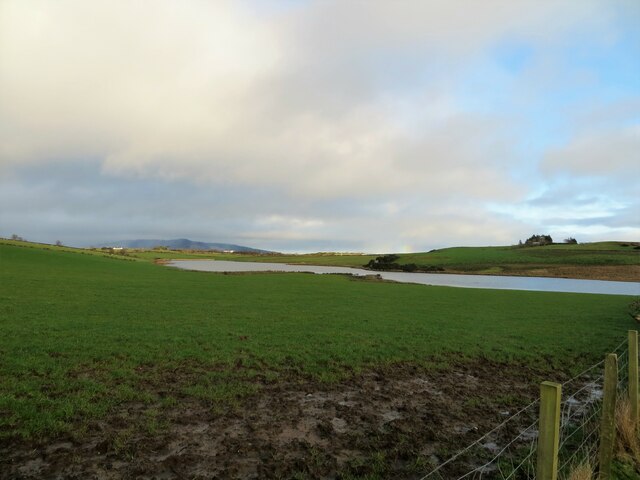
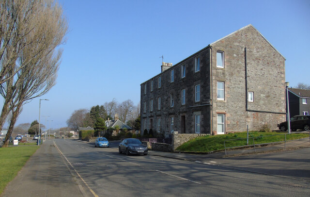
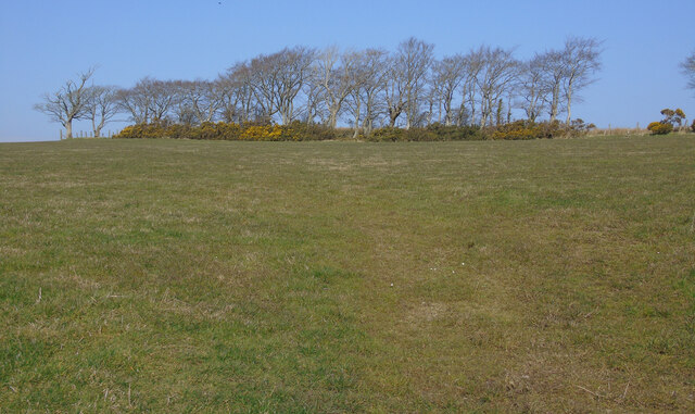
With a population of around 500 residents, Ballochgoy has a close-knit community that takes pride in its rich history and heritage. The village is home to a variety of traditional stone-built houses, which add to its quaint and timeless atmosphere. The surrounding landscape is dominated by lush green fields and meadows, frequented by local farmers.

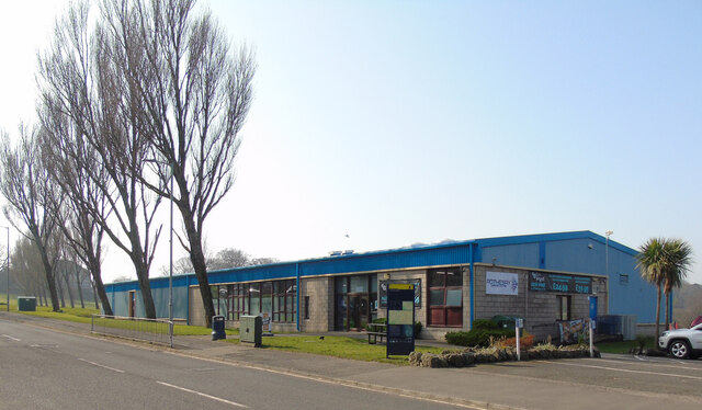
Ballochgoy offers a range of amenities to its residents and visitors. There is a local pub, The Waterfront Inn, where visitors can enjoy traditional Scottish cuisine and a warm, friendly atmosphere. Additionally, the village has a well-stocked convenience store, ensuring that essential supplies are readily available.

The area surrounding Ballochgoy is ideal for outdoor enthusiasts, with numerous walking trails and cycling routes that showcase the region's natural beauty. One popular attraction is the Ballochgoy Castle, a historical site that dates back to the 13th century. Visitors can explore the ruins and learn about the castle's fascinating past.

Overall, Ballochgoy is a charming village that offers a peaceful retreat from the hustle and bustle of city life. Its stunning scenery, rich history, and welcoming community make it an attractive destination for those seeking a tranquil escape in the heart of Scotland.

If you have any feedback on the listing, please let us know in the comments section below.
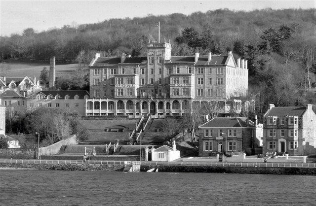
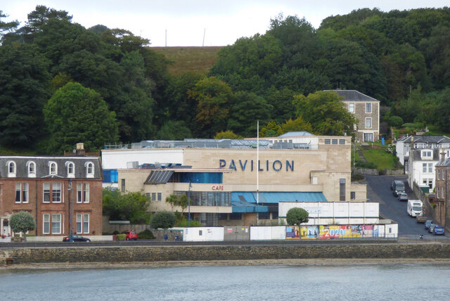
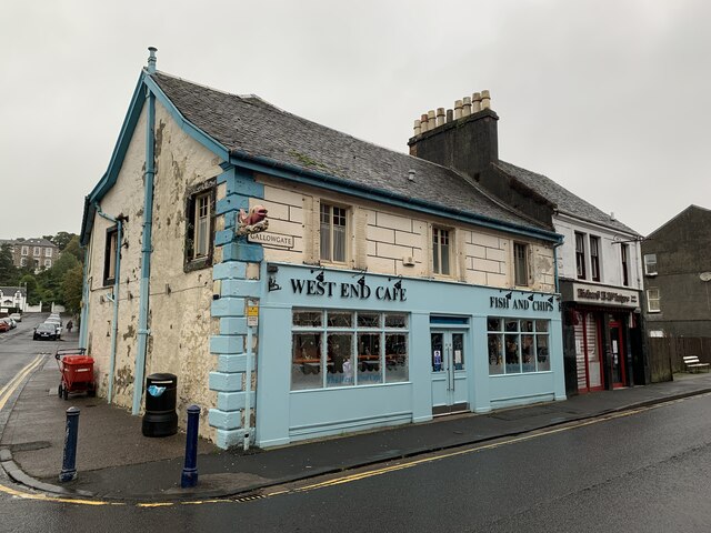
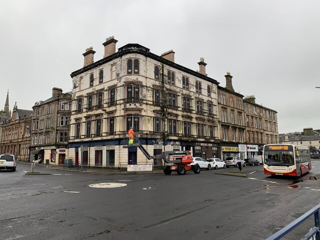
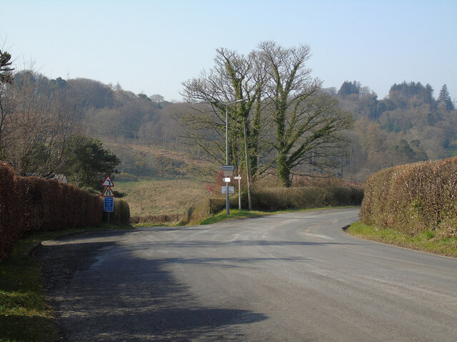
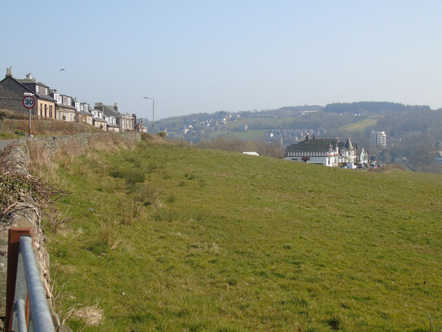
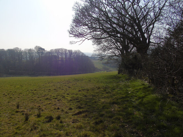
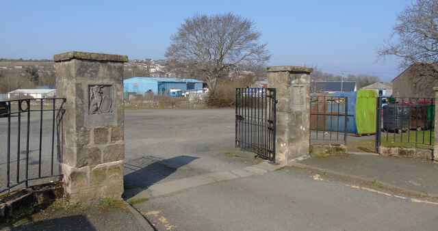
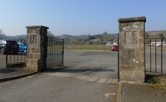
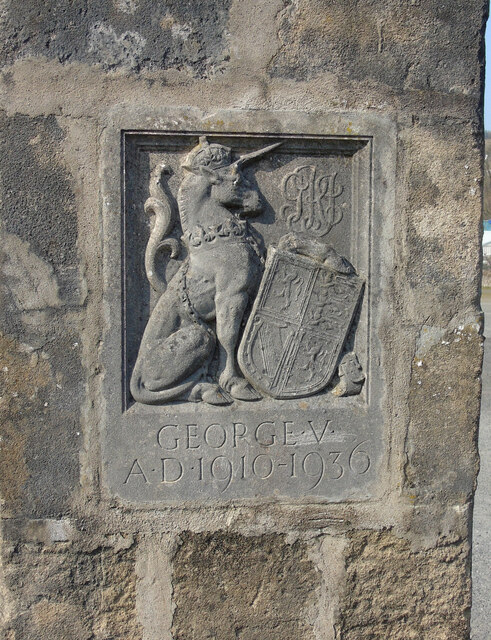
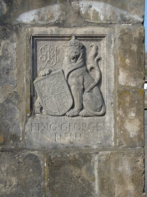
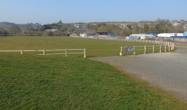
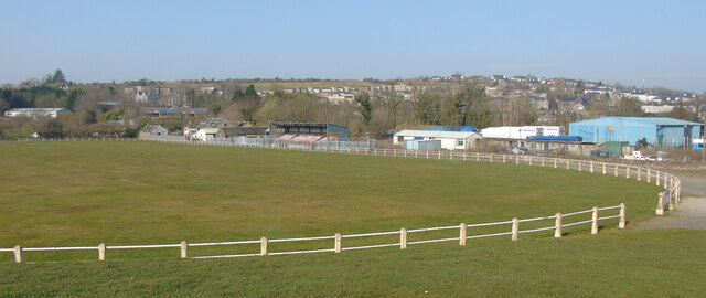
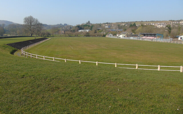
Ballochgoy Images

Images are sourced within 2km of 55.830928/-5.0671635 or Grid Reference NS0864. Thanks to Geograph Open Source API. All images are credited.

The Glenburn Hotel Originally constructed in 1843, the hotel was rebuilt 1882-84. It is Category B listed <span class="nowrap"><a title="http://portal.historicenvironment.scot/designation/LB44849" rel="nofollow ugc noopener" href="http://portal.historicenvironment.scot/designation/LB44849">Link</a><img style="margin-left:2px;" alt="External link" title="External link - shift click to open in new window" src="https://s1.geograph.org.uk/img/external.png" width="10" height="10"/></span>.

Seen from a Wemyss Bay to Rothesay ferry. Camera location approximate.

Scanned from an AGFA colour transparency.
The Glenburn Hotel
Originally constructed in 1843, the hotel was rebuilt 1882-84. It is Category B listed LinkExternal link. Seen from a Wemyss Bay to Rothesay ferry. Camera location approximate. Scanned from an AGFA colour transparency.
Rothesay Pavilion Work to renovate the Category A Listed building <span class="nowrap"><a title="http://portal.historicenvironment.scot/designation/LB40452" rel="nofollow ugc noopener" href="http://portal.historicenvironment.scot/designation/LB40452">Link</a><img style="margin-left:2px;" alt="External link" title="External link - shift click to open in new window" src="https://s1.geograph.org.uk/img/external.png" width="10" height="10"/></span> appears to have stalled due to the coronavirus (covid-19) pandemic. Viewed from a ferry approaching Rothesay pier.
Rothesay Pavilion
Work to renovate the Category A Listed building LinkExternal link appears to have stalled due to the coronavirus (covid-19) pandemic. Viewed from a ferry approaching Rothesay pier.
West End Cafe Gallowgate, Rothesay.
West End Cafe
Gallowgate, Rothesay.
Former Royal Hotel, Rothesay On Albert Place, Rothesay.
Former Royal Hotel, Rothesay
On Albert Place, Rothesay.
Loch Greenan, Isle of Bute
High Street, Rothesay Looking along the B881 High Street towards the town centre at the health centre.
High Street, Rothesay
Looking along the B881 High Street towards the town centre at the health centre.
Rothesay Leisure Centre On High Street on the outskirts of town.
Rothesay Leisure Centre
On High Street on the outskirts of town.
Field off Barone Road On the outskirts of Rothesay.
Field off Barone Road
On the outskirts of Rothesay.
The B878 Barone Road The junction at Barone Cottage.
The B878 Barone Road
The junction at Barone Cottage.
Field off Barone Road The houses on the left are on Barone Road.
Field off Barone Road
The houses on the left are on Barone Road.
Field off Barone Road Barone Cottage is out of sight immediately to the right.
Field off Barone Road
Barone Cottage is out of sight immediately to the right.
King George V Playing Fields gates, Rothesay At the entrance to the park on High Street.
King George V Playing Fields gates, Rothesay
At the entrance to the park on High Street.
King George V Playing Fields gates, Rothesay At the entrance to the park on High Street.
King George V Playing Fields gates, Rothesay
At the entrance to the park on High Street.
King George V Playing Fields gates, Rothesay The unicorn on the left side gate post.
King George V Playing Fields gates, Rothesay
The unicorn on the left side gate post.
King George V Playing Fields gates, Rothesay The lion on the right side gate post.
King George V Playing Fields gates, Rothesay
The lion on the right side gate post.
King George's Field, Rothesay An old style fenced grass football pitch with small grandstand and terracing.
King George's Field, Rothesay
An old style fenced grass football pitch with small grandstand and terracing.
King George's Field, Rothesay An old style fenced grass football pitch with small grandstand and terracing.
King George's Field, Rothesay
An old style fenced grass football pitch with small grandstand and terracing.
King George's Field, Rothesay An old style fenced grass football pitch with small grandstand and terracing.
King George's Field, Rothesay
An old style fenced grass football pitch with small grandstand and terracing.
Show me another place!

Ballochgoy is located at Grid Ref: NS0864 (Lat: 55.830928, Lng: -5.0671635)

Unitary Authority: Argyll and Bute

Police Authority: Argyll and West Dunbartonshire

What 3 Words

///redouble.branded.closet. Near Rothesay, Argyll & Bute

Related Wikis

Victoria Hospital, Rothesay

Victoria Hospital is a health facility in High Street, Rothesay, Scotland. It is managed by NHS Highland. == History == The facility has its origins in...

Rothesay Academy

Rothesay Academy is a secondary school in the town of Rothesay on the Isle of Bute. == Feeder schools == Rothesay Academy has 3 associated primary schools...

Rothesay Town Hall and County Buildings

Rothesay Town Hall and County Buildings is a former municipal building in Castle Street, Rothesay, Scotland. The structure, which was the meeting place...

West Island Way

The West Island Way is a waymarked long distance footpath on the Isle of Bute. The route opened in September 2000 as part of Bute's millennium celebrations...

Bute FM

Bute FM is a Community Radio station for the Isle of Bute, broadcasting in stereo on 96.5 FM and simultaneously broadcasting online via a live internet...

Rothesay

Rothesay ( ROTH-see; Scottish Gaelic: Baile Bhòid [ˈpalə ˈvɔːtʲ]) is the principal town on the Isle of Bute, in the council area of Argyll and Bute, Scotland...

West Pier Public Convenience

The West Pier Public Convenience or Victorian Toilets is a public toilet on the west pier of the harbour of Rothesay on the Isle of Bute. It opened in...

Kirk Dam

Kirk Dam is an impounding dam, located 1.5 kilometres south of Rothesay, and is separated by a causeway from the much larger Loch Fad to the south-west...

Nearby Amenities

Located within 500m of 55.830928,-5.0671635
Barone Park
Place: locality
Lat/Long: 55.8277536/-5.0648055
The Meadows
Place: locality
Lat/Long: 55.8294175/-5.0622459
Post Box
Post Box Type: wall
Ref: PA20 22
Royal Cypher: GR
Royal Cypher Wikidata: Q33102273
Lat/Long: 55.8319512/-5.0640832
Power: pole
Lat/Long: 55.828166/-5.0624826
Power: pole
Lat/Long: 55.8289297/-5.0602899
Power: pole
Lat/Long: 55.8309882/-5.0730292
Power: pole
Lat/Long: 55.8295448/-5.0731723
Power: pole
Lat/Long: 55.831467/-5.0735565
Power: pole
Lat/Long: 55.8320844/-5.0742303
Power: pole
Lat/Long: 55.8302619/-5.0731012
Power: pole
Lat/Long: 55.828142/-5.0733745
Power: pole
Lat/Long: 55.8267622/-5.0663801
Power: pole
Lat/Long: 55.8272312/-5.0650781
Power: pole
Lat/Long: 55.8276992/-5.0637786
The data included in this document is from www.openstreetmap.org. The data is made available under ODbL.

Have you been to Ballochgoy?

Leave your review of Ballochgoy below (or comments, questions and feedback).