Renfrewshire
Historic County in
Scotland
Renfrewshire
Renfrewshire is a historic county located in the west-central Lowlands of Scotland. It borders the counties of Ayrshire, Lanarkshire, and Dumbartonshire. The county is named after the town of Renfrew, which was once its administrative center. Renfrewshire covers an area of approximately 261 square miles (675 square kilometers) and has a population of around 175,000 people.
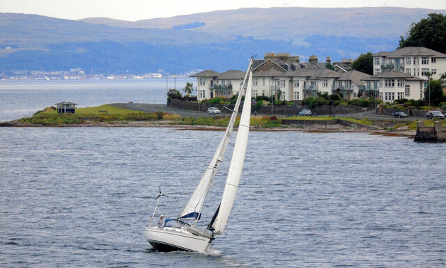
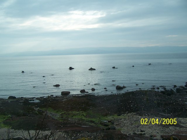
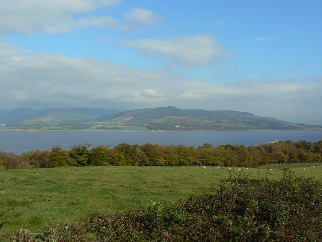
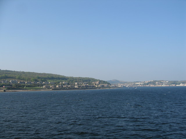
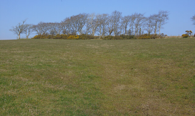
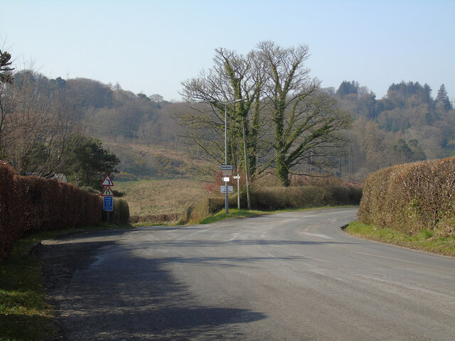
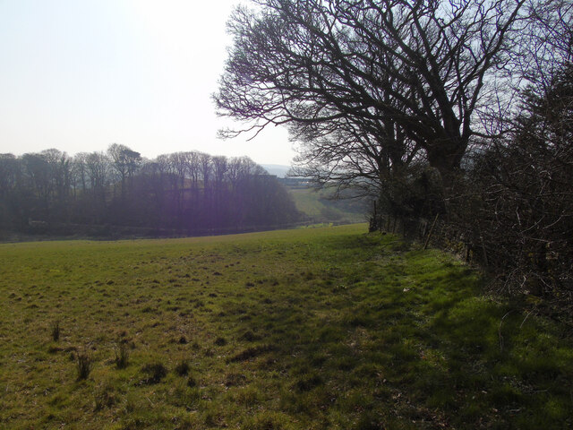
The landscape of Renfrewshire is diverse, with rolling hills, fertile farmland, and the Clyde estuary to the south. The county is known for its picturesque scenery, including the stunning views from the Kilpatrick Hills and the scenic beauty of the Clyde Muirshiel Regional Park.
Historically, Renfrewshire played a significant role in Scotland's industrial and maritime heritage. The county was renowned for its shipbuilding industry, which flourished along the banks of the River Clyde. Renfrewshire was also a major center for textile manufacturing, especially in the towns of Paisley and Johnstone. The iconic Paisley pattern, a distinctive textile design featuring intricate motifs, originated in this region.
Renfrewshire is home to several notable landmarks and cultural attractions. The town of Paisley boasts a rich architectural heritage, with its medieval abbey, Victorian town hall, and stunning Paisley Museum and Art Galleries. Other points of interest include the historic castles of Renfrew and Crookston, as well as the scenic village of Lochwinnoch, known for its nature reserve and bird sanctuary.
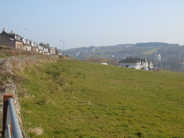
Today, Renfrewshire remains a vibrant county, offering a mix of urban and rural living. It is well-connected to Glasgow, Scotland's largest city, and serves as a commuter belt for many residents. The county continues to embrace its historical legacy while embracing modern developments, making it an attractive place to live, work, and visit.
If you have any feedback on the listing, please let us know in the comments section below.
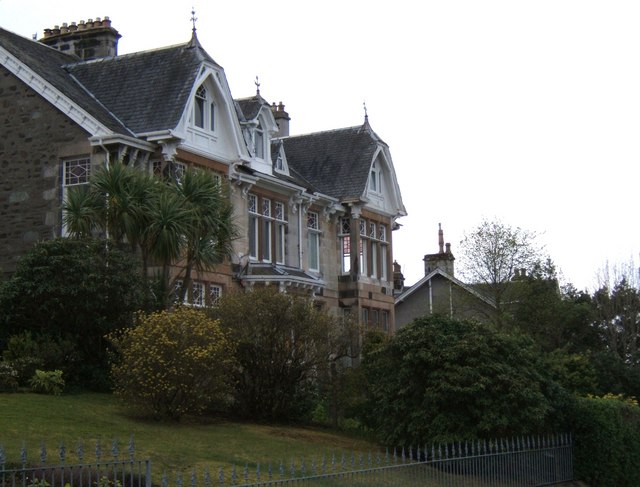
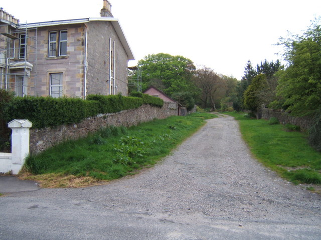
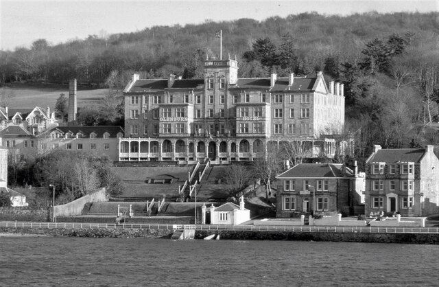
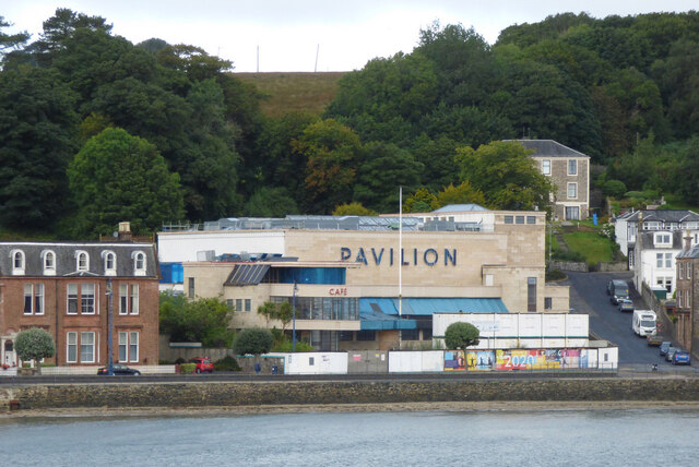
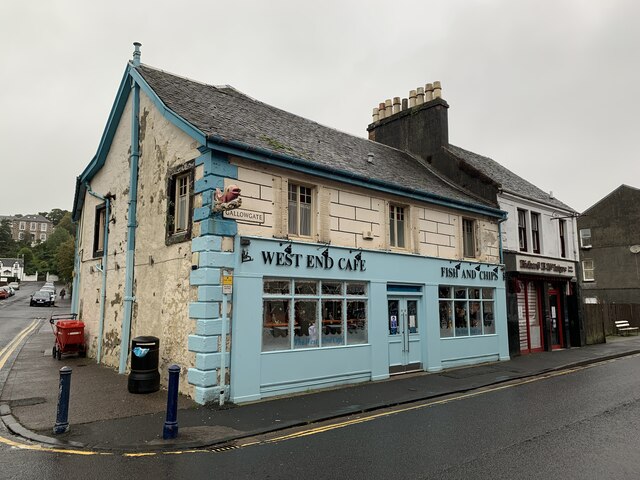
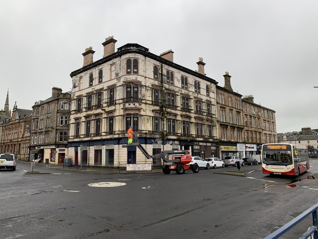
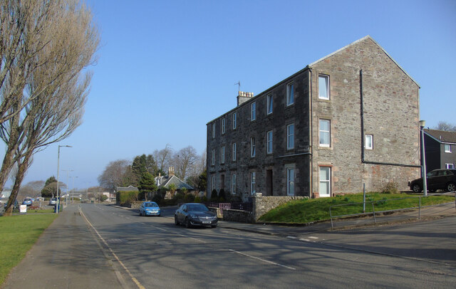
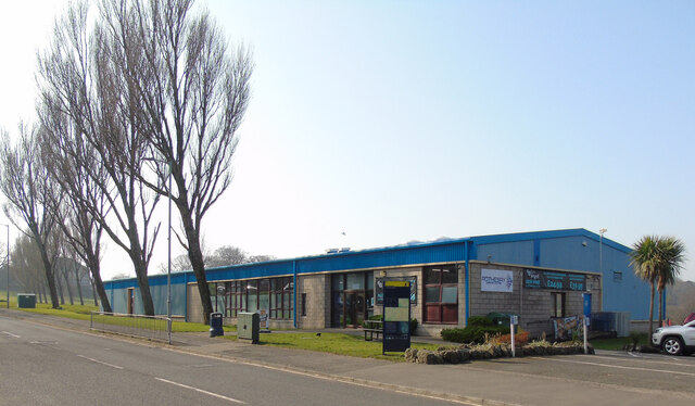
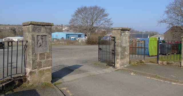
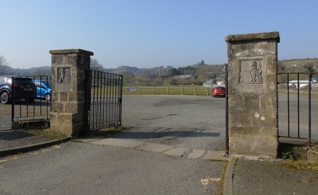
Renfrewshire Images
Images are sourced within 2km of 55.835/-5.058 or Grid Reference NS0864. Thanks to Geograph Open Source API. All images are credited.
Renfrewshire is located at Grid Ref: NS0864 (Lat: 55.835, Lng: -5.058)
What 3 Words
///strain.wage.hubcaps. Near Rothesay, Argyll & Bute
Nearby Locations
Related Wikis

Rothesay Town Hall and County Buildings
Rothesay Town Hall and County Buildings is a former municipal building in Castle Street, Rothesay, Scotland. The structure, which was the meeting place...

Bute FM
Bute FM is a Community Radio station for the Isle of Bute, broadcasting in stereo on 96.5 FM and simultaneously broadcasting online via a live internet...

West Pier Public Convenience
The West Pier Public Convenience or Victorian Toilets is a public toilet on the west pier of the harbour of Rothesay on the Isle of Bute. It opened in...

Rothesay
Rothesay ( ROTH-see; Scottish Gaelic: Baile Bhòid [ˈpalə ˈvɔːtʲ]) is the principal town on the Isle of Bute, in the council area of Argyll and Bute, Scotland...

Victoria Hospital, Rothesay
Victoria Hospital is a health facility in High Street, Rothesay, Scotland. It is managed by NHS Highland. == History == The facility has its origins in...

Rothesay Academy
Rothesay Academy is a secondary school in the town of Rothesay on the Isle of Bute. == Feeder schools == Rothesay Academy has 3 associated primary schools...

West Island Way
The West Island Way is a waymarked long distance footpath on the Isle of Bute. The route opened in September 2000 as part of Bute's millennium celebrations...

Kirk Dam
Kirk Dam is an impounding dam, located 1.5 kilometres south of Rothesay, and is separated by a causeway from the much larger Loch Fad to the south-west...
Nearby Amenities
Located within 500m of 55.835,-5.058Have you been to Renfrewshire?
Leave your review of Renfrewshire below (or comments, questions and feedback).