Ballogie

Settlement in Aberdeenshire

Scotland

Ballogie

Path junction in the forest Geocaching is a type of global treasure hunt of people looking for caches, or hidden stashes of objects. Geocaching may also be described as a series of hide-and-seek games, where hiders provide online clues for seekers. Seekers use global positioning system (GPS) devices to find hidden caches
Path junction in the forest Credit: Ralph Greig

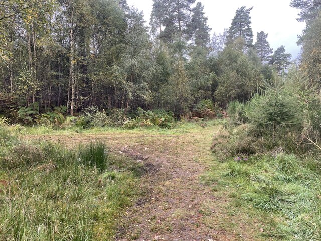
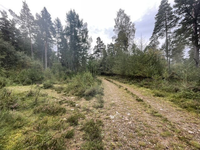
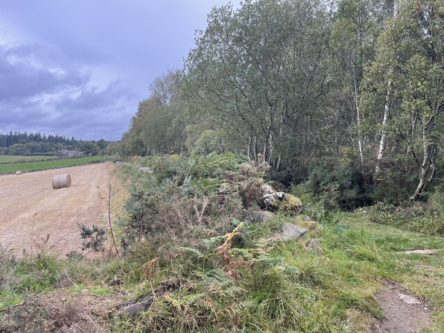
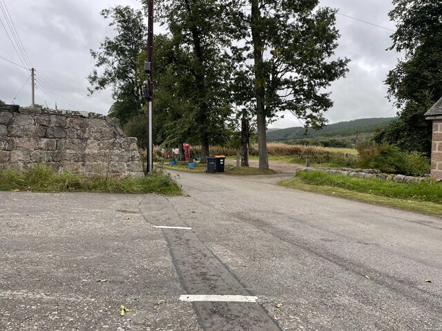
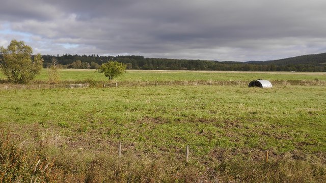
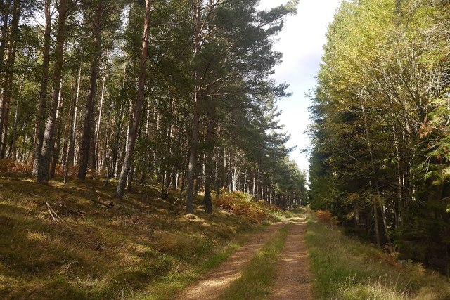
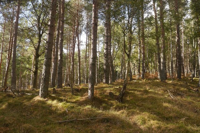
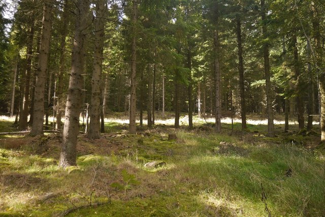
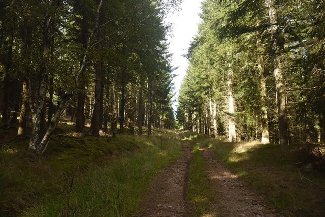
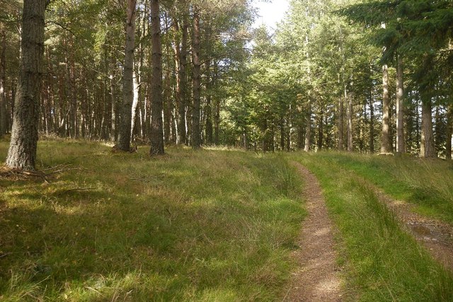
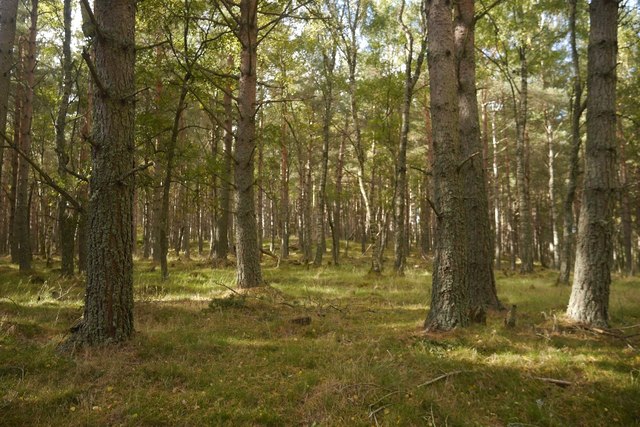
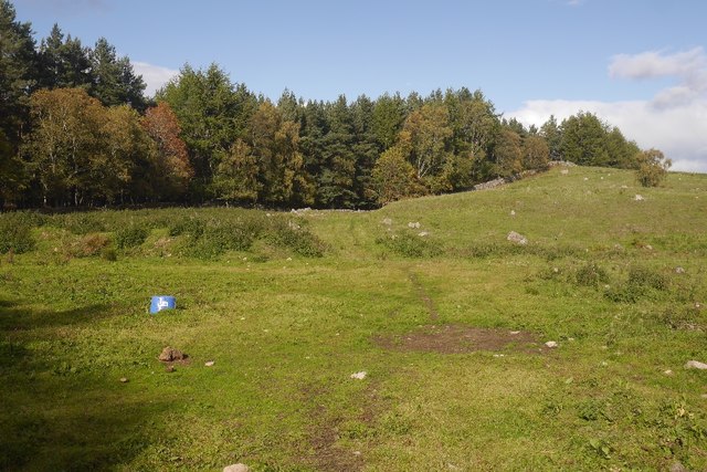
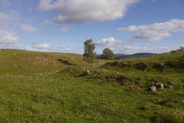
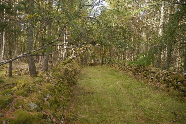
Ballogie is a small rural village located in Aberdeenshire, Scotland. Situated on the banks of the River Dee, it lies approximately 25 miles west of Aberdeen. The village is surrounded by picturesque countryside, with rolling hills and lush green fields dominating the landscape.

Despite its small size, Ballogie boasts a rich history and heritage. The area is known for its connection to the ancient Pictish people, with several standing stones and stone circles found in the vicinity. These archaeological sites attract numerous visitors and researchers interested in the region's past.

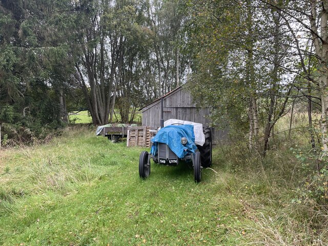
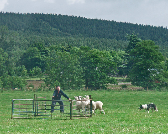
The village itself is home to a tight-knit community, with a population of around 200 residents. The locals take pride in maintaining a traditional way of life, and many are actively involved in agriculture and farming. The village has a primary school, providing education for the children of the community.

Outdoor enthusiasts are drawn to Ballogie's natural beauty. The River Dee offers excellent fishing opportunities, particularly for salmon, attracting anglers from near and far. The surrounding hills and forests provide ample opportunities for hiking, cycling, and wildlife spotting.

Although Ballogie does not have many amenities, it is located within a short driving distance of larger towns such as Aboyne and Banchory. These towns offer a wider range of services, including shops, restaurants, and leisure facilities.

Overall, Ballogie is a charming village that offers a tranquil and idyllic setting for those seeking a peaceful retreat surrounded by stunning natural scenery.

If you have any feedback on the listing, please let us know in the comments section below.

Ballogie Images

Images are sourced within 2km of 57.058671/-2.705957 or Grid Reference NO5796. Thanks to Geograph Open Source API. All images are credited.

Path junction in the forest Geocaching is a type of global treasure hunt of people looking for caches, or hidden stashes of objects. Geocaching may also be described as a series of hide-and-seek games, where hiders provide online clues for seekers. Seekers use global positioning system (GPS) devices to find hidden caches
Path junction in the forest
Geocaching is a type of global treasure hunt of people looking for caches, or hidden stashes of objects. Geocaching may also be described as a series of hide-and-seek games, where hiders provide online clues for seekers. Seekers use global positioning system (GPS) devices to find hidden caches
Path junction in the forest
Where forest and farm meet
Old Tractor
Old Tractor
Back roads of Aberdeenshire
Pig ark, Haugh A haugh south of the Dee.
Pig ark, Haugh
A haugh south of the Dee.
Balfour Forest Singletrack, nicknamed The Bimble through very open woodland.  It is a lovely easy run on the bike.
Balfour Forest
Singletrack, nicknamed The Bimble through very open woodland. It is a lovely easy run on the bike.
Canadian Road Named after the World War II lumberjacks who felled almost everything that survived World War I.  Any remaining trees in Balfour Forest were finished off by the gale of January 1953. (The one which killed thousands around the North Sea).
Canadian Road
Named after the World War II lumberjacks who felled almost everything that survived World War I. Any remaining trees in Balfour Forest were finished off by the gale of January 1953. (The one which killed thousands around the North Sea).
Holms Wood Balfour Forest, above Bogieshiel.
Holms Wood
Balfour Forest, above Bogieshiel.
Whitehill Wood Eastern side of Balfour Forest, above the Canadian Road.
Whitehill Wood
Eastern side of Balfour Forest, above the Canadian Road.
The Canadian Road Named after the World War II lumberjacks who felled almost everything that survived World War I.  Any remaining trees in Balfour Forest were finished off by the gale of January 1953. (The one which killed thousands around the North Sea).
The Canadian Road
Named after the World War II lumberjacks who felled almost everything that survived World War I. Any remaining trees in Balfour Forest were finished off by the gale of January 1953. (The one which killed thousands around the North Sea).
Whitehill Wood A beautiful runnable forest, restored after destruction in the mid 20th century. It was felled in both wars and the remnants finished off by the disastrous storm of 1953.
Whitehill Wood
A beautiful runnable forest, restored after destruction in the mid 20th century. It was felled in both wars and the remnants finished off by the disastrous storm of 1953.
Quarry, Achnafoy The Canadian Road ends here in a grassed over quarry. There is a gate at the far side which leads to a disused road in the forest. From here a path leads down to the Balfour to Kinminity road. Goes a treat on a bike, lovely singletrack.
Quarry, Achnafoy
The Canadian Road ends here in a grassed over quarry. There is a gate at the far side which leads to a disused road in the forest. From here a path leads down to the Balfour to Kinminity road. Goes a treat on a bike, lovely singletrack.
Quarry, Auchnafoy A grassed over quarry at the northern end of the Canadian Road.
Quarry, Auchnafoy
A grassed over quarry at the northern end of the Canadian Road.
An old road above Kinminity A fine pair of dykes beside a long disused road near Balfour. Contrary to the Ordnance Survey map there is woodland on both sides.
An old road above Kinminity
A fine pair of dykes beside a long disused road near Balfour. Contrary to the Ordnance Survey map there is woodland on both sides.
Path above Kinminity Beside an old dyke, the path makes a good continuation from the Canadian Road, dropping down to the road between Balfour and Kinminity.
Path above Kinminity
Beside an old dyke, the path makes a good continuation from the Canadian Road, dropping down to the road between Balfour and Kinminity.
Path near Balfour A way down from the quarry above Auchnafoy.
Path near Balfour
A way down from the quarry above Auchnafoy.
Show me another place!

Ballogie is located at Grid Ref: NO5796 (Lat: 57.058671, Lng: -2.705957)

Unitary Authority: Aberdeenshire

Police Authority: North East

What 3 Words

///impulsive.limes.inherit. Near Aboyne, Aberdeenshire

Nearby Locations

Ballogie Whinpark Wood

Related Wikis

Ballogie

Ballogie is a rural community and an estate in the Lower Deeside area of Aberdeenshire, Scotland. Most of Ballogie lies within the parish of Birse, although...

Kinminity

Kinminity is a former village located south-east of Birse, Aberdeenshire in Scotland. == History == The property was in hands of the cadet family of Sutherlands...

Birse

Birse (Scottish Gaelic: Braois/Breis) is a parish in the Lower Deeside area of Aberdeenshire, Scotland, which includes the communities of Finzean and Ballogie...

Belwade Farm

Belwade Farm is a horse stables near Aboyne, Scotland owned by World Horse Welfare. == History == A new visitor centre and indoor arena was opened by Princess...

Nearby Amenities

Located within 500m of 57.058671,-2.705957
Power: pole
Lat/Long: 57.0591378/-2.6983145
Power: pole
Lat/Long: 57.0596104/-2.6990873
Power: pole
Lat/Long: 57.0601016/-2.6998904
Power: pole
Lat/Long: 57.0605948/-2.7006784
Power: pole
Lat/Long: 57.061052/-2.7014513
Power: pole
Lat/Long: 57.0615134/-2.7022081
Power: pole
Lat/Long: 57.0602043/-2.7013171
Power: pole
Lat/Long: 57.059595/-2.7022752
Power: pole
Lat/Long: 57.0590093/-2.7030462
Power: pole
Lat/Long: 57.0584205/-2.7038171
Power: pole
Lat/Long: 57.0578235/-2.7045806
Power: pole
Lat/Long: 57.0576838/-2.7054328
Power: pole
Lat/Long: 57.0573683/-2.7075133
Power: pole
Lat/Long: 57.0569449/-2.7085016
Power: pole
Lat/Long: 57.0565287/-2.7094748
Power: pole
Lat/Long: 57.0560899/-2.7105179
Power: pole
Lat/Long: 57.0556748/-2.7115099
Power: pole
Lat/Long: 57.0620425/-2.7016667
Power: pole
Lat/Long: 57.0615195/-2.7036556
Power: pole
Lat/Long: 57.0615267/-2.7049594
Power: pole
Lat/Long: 57.0615555/-2.7063465
Power: pole
Lat/Long: 57.0616706/-2.7074689
Power: pole
Lat/Long: 57.0618062/-2.7085082
Power: pole
Lat/Long: 57.0619377/-2.7095532
Power: pole
Lat/Long: 57.0620723/-2.7106379
The data included in this document is from www.openstreetmap.org. The data is made available under ODbL.

Have you been to Ballogie?

Leave your review of Ballogie below (or comments, questions and feedback).