Balls Cross
Settlement in Sussex Chichester
England
Balls Cross
Balls Cross is a small hamlet located in the county of Sussex, England. Situated approximately 3 miles northwest of the town of Horsham, it falls within the Horsham District Council area. The hamlet is nestled amidst the picturesque countryside, surrounded by fields and farmland.
Despite its size, Balls Cross boasts a rich history, dating back several centuries. The name itself is believed to have derived from a crossroads in the area where balls were once used as a boundary marker. This unique name adds to the charm and character of the hamlet.
With its rural setting, Balls Cross offers a tranquil and peaceful environment for residents and visitors alike. The surrounding countryside provides ample opportunities for outdoor activities such as hiking, cycling, and horse riding. The nearby Warnham Nature Reserve, with its diverse array of flora and fauna, is a popular attraction for nature lovers.
Although primarily residential, Balls Cross does not have its own amenities such as shops or schools. However, the nearby town of Horsham provides all necessary services and facilities within a short distance.
Transport links to Balls Cross are convenient, with good road access to the A24 and A281, connecting to major towns and cities in the region. Horsham railway station, located nearby, offers regular train services to London and other parts of the country.
Overall, Balls Cross is a charming and idyllic hamlet, offering a peaceful countryside retreat while still being within easy reach of urban amenities.
If you have any feedback on the listing, please let us know in the comments section below.
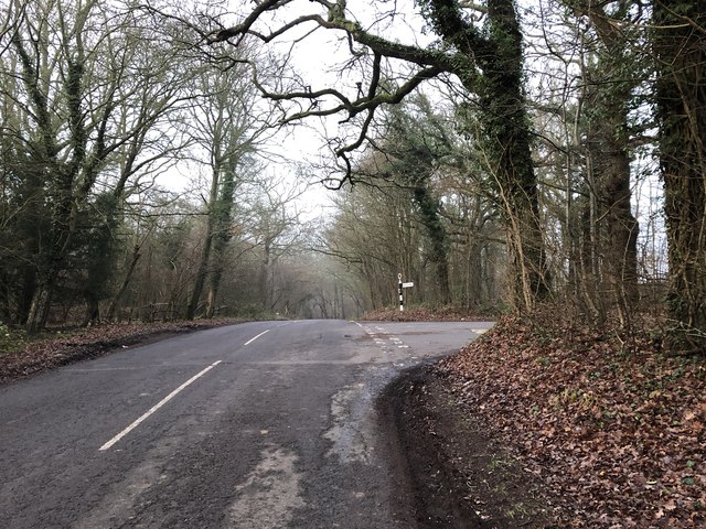
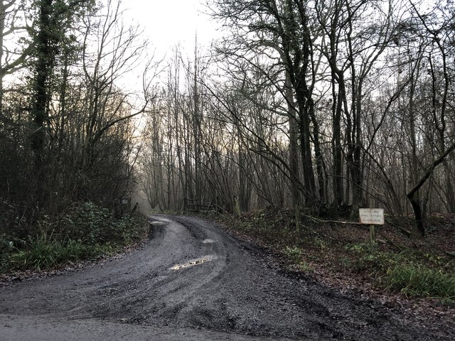
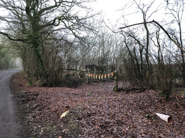
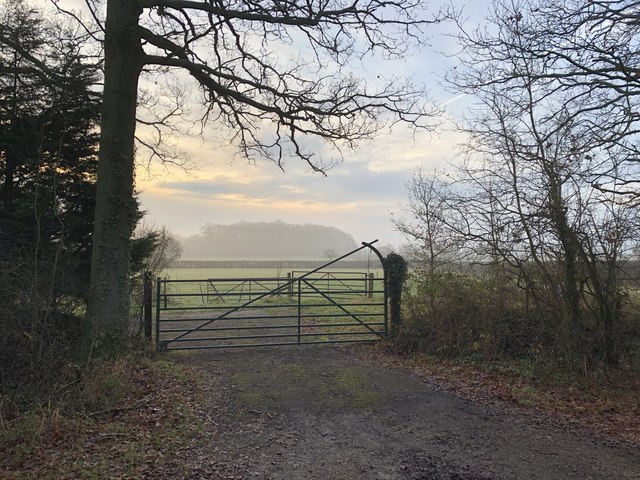
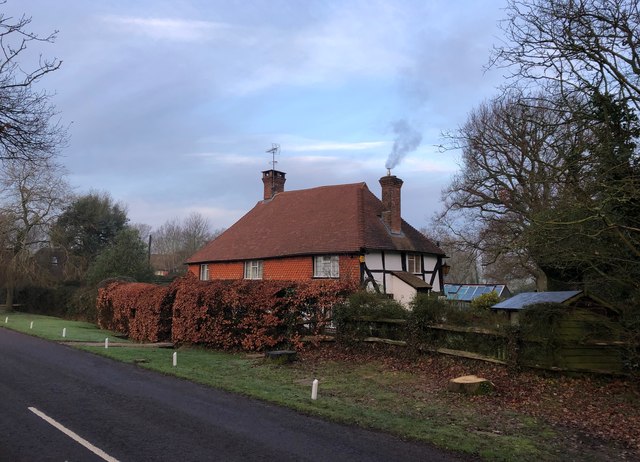
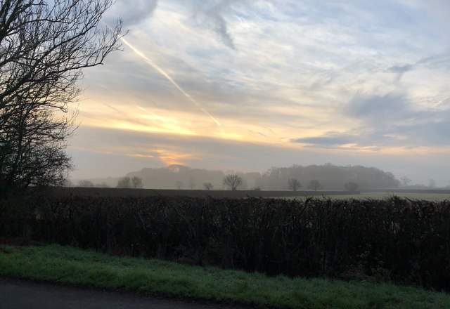
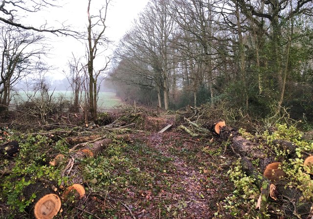
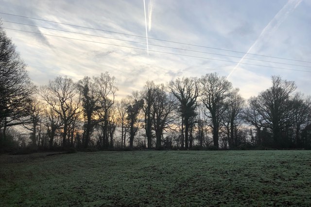
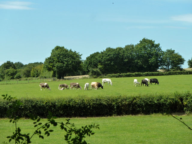
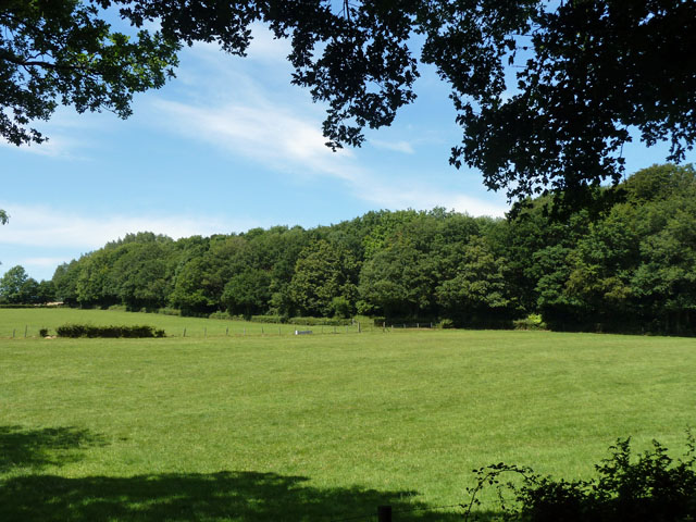
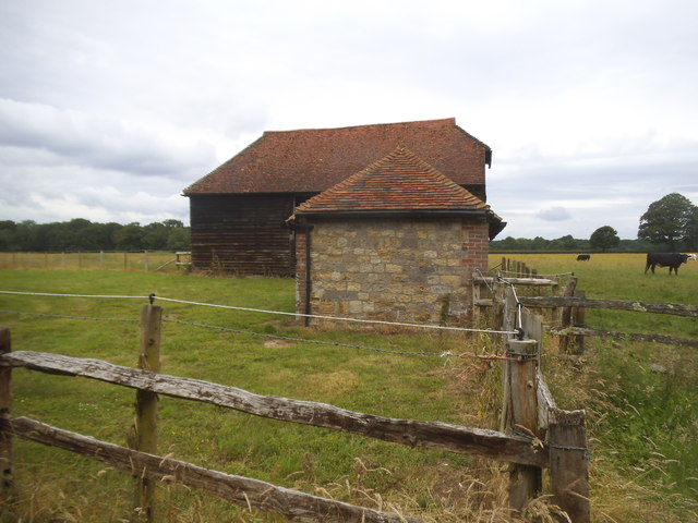
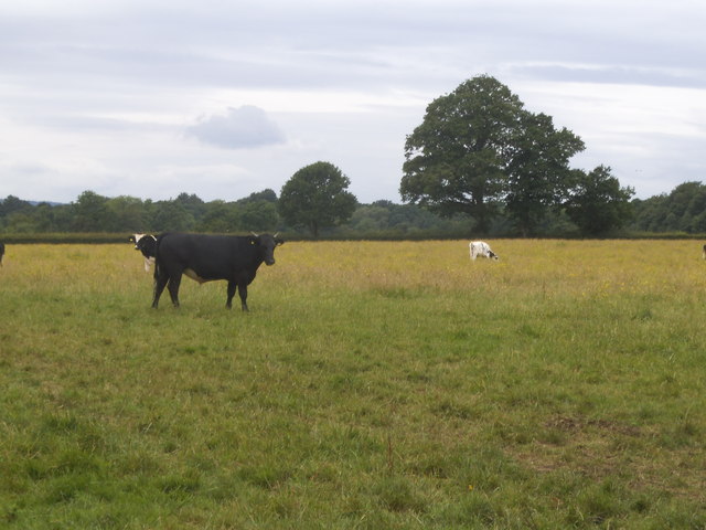
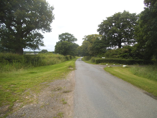
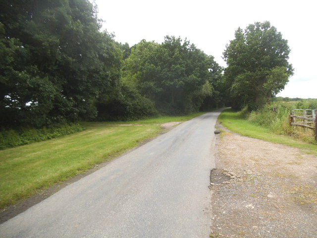
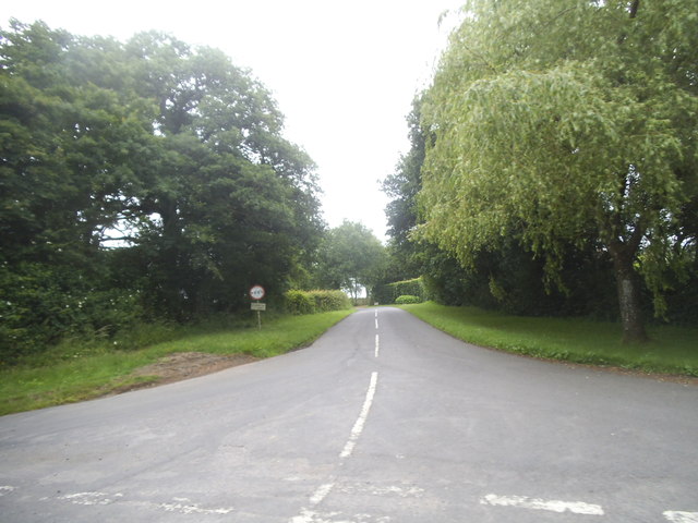
Balls Cross Images
Images are sourced within 2km of 51.037045/-0.591525 or Grid Reference SU9827. Thanks to Geograph Open Source API. All images are credited.


Balls Cross is located at Grid Ref: SU9827 (Lat: 51.037045, Lng: -0.591525)
Administrative County: West Sussex
District: Chichester
Police Authority: Sussex
What 3 Words
///update.proclaims.gearbox. Near Petworth, West Sussex
Nearby Locations
Related Wikis

Balls Cross
Balls Cross is a hamlet in Ebernoe civil parish in the Chichester District of West Sussex, England.The hamlet comprises a few houses together with a small...

Ebernoe
Ebernoe is a hamlet and civil parish in the District of Chichester in West Sussex, England, and 4 miles (6 km) north of Petworth near the A283 road. The...

Petworth (electoral division)
Petworth is an electoral division of West Sussex in the United Kingdom, and returns one member to sit on West Sussex County Council. == Extent == The division...

Ebernoe Common
Ebernoe Common is a 233.9-hectare (578-acre) biological Site of Special Scientific Interest in Ebernoe, north of Petworth in West Sussex. It is a Nature...

Ebernoe Horn Fair
Ebernoe Horn Fair is held in the small Sussex village of Ebernoe, the location of which is about five miles north of Petworth (grid reference SU975280...

Kirdford
Kirdford is a village and civil parish in the Chichester District of West Sussex, England. Its nearest town is Petworth, located 6.5 miles (10.5 km) southwest...

Plaistow, West Sussex
Plaistow ( PLAST-oh) is a village and civil parish in the north of the Chichester District of West Sussex, England. There is a village green, a recreation...

Shillinglee Lake
Shillinglee Lake is a 17-hectare (42-acre) biological Site of Special Scientific Interest west of Plaistow in West Sussex.The lake has been designated...
Nearby Amenities
Located within 500m of 51.037045,-0.591525Have you been to Balls Cross?
Leave your review of Balls Cross below (or comments, questions and feedback).