Balls Green

Settlement in Essex Tendring

England

Balls Green

Bridge over Tenpenny Brook Looking upstream towards where this water course would be Bromley Brook. I am not exactly sure which confluence precipitates the name change.
Bridge over Tenpenny Brook Credit: Glyn Baker

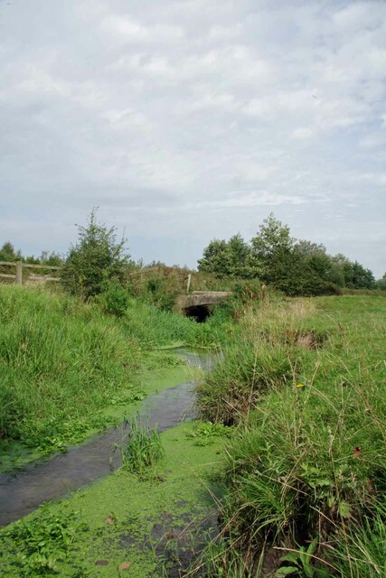
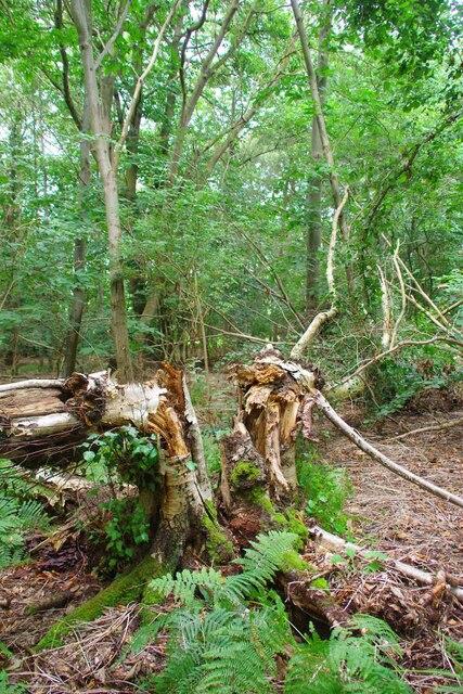
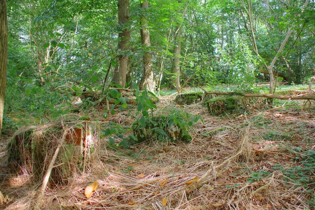
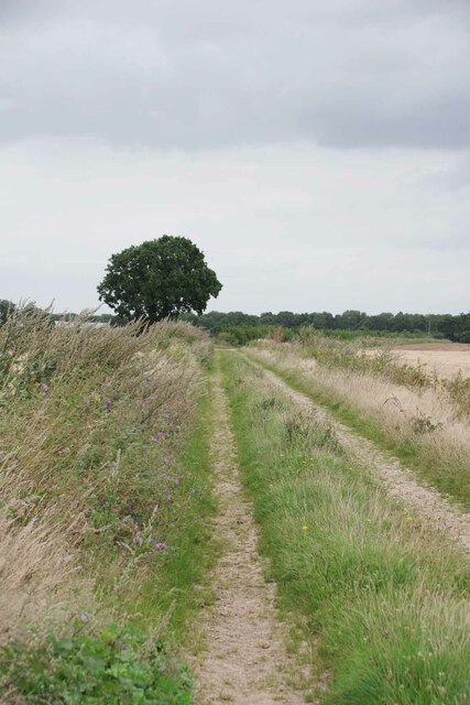
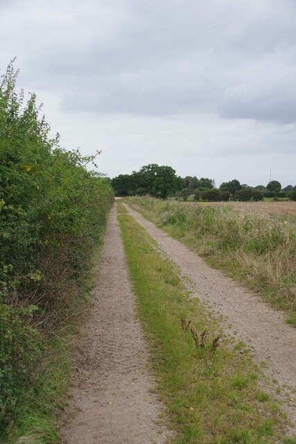
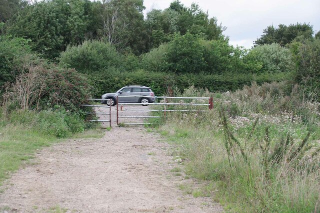
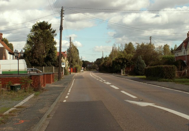
Balls Green is a small village located in the county of Essex, England. Situated in the Tendring district, it is nestled between the larger towns of Clacton-on-Sea and Colchester. The village is surrounded by picturesque countryside, with vast fields and meadows that contribute to its tranquil and scenic atmosphere.

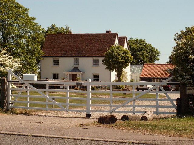
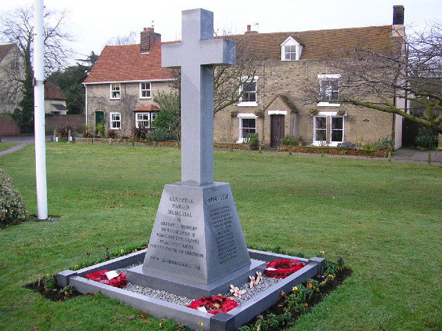
Despite its size, Balls Green boasts a rich history, dating back many centuries. The village is home to several historic buildings, including a charming church that stands as a testament to its long-standing presence. The surrounding area also contains evidence of ancient settlements, further enhancing its historical significance.

In terms of amenities, Balls Green offers limited facilities, with a small number of shops and services available to meet the basic needs of its residents. However, due to its proximity to nearby towns, residents have easy access to a wider range of amenities, including schools, healthcare facilities, and recreational venues.

Balls Green is known for its close-knit community, where neighbors often come together to organize local events and activities. This sense of community is further fostered through various clubs and societies that cater to different interests and hobbies.

Transportation in Balls Green mainly relies on road networks, with good connectivity to neighboring towns and villages. Public transportation options are limited, making private vehicles the primary mode of travel for residents.

Overall, Balls Green offers a peaceful and idyllic lifestyle, making it an attractive place for those seeking a quieter, rural setting within close proximity to larger urban areas.

If you have any feedback on the listing, please let us know in the comments section below.

Balls Green Images

Images are sourced within 2km of 51.87674/1.036415 or Grid Reference TM0924. Thanks to Geograph Open Source API. All images are credited.

Bridge over Tenpenny Brook Looking upstream towards where this water course would be Bromley Brook. I am not exactly sure which confluence precipitates the name change.
Bridge over Tenpenny Brook
Looking upstream towards where this water course would be Bromley Brook. I am not exactly sure which confluence precipitates the name change.
Mill Wood Mill Wood is managed with a light touch by the Woodland Trust <span class="nowrap"><a title="https://www.woodlandtrust.org.uk/" rel="nofollow ugc noopener" href="https://www.woodlandtrust.org.uk/">Link</a><img style="margin-left:2px;" alt="External link" title="External link - shift click to open in new window" src="https://s1.geograph.org.uk/img/external.png" width="10" height="10"/></span>.
Mill Wood
Mill Wood is managed with a light touch by the Woodland Trust LinkExternal link.
Mullered Mercedes in Mill Wood This pile of scrap long predates the Woodland Trusts stewardship of Mill Wood. At first I thought the remains of the car were a 1950's Vauxhall until I spied the iconic three pointed star engraved on the remains of the wiper motor.
Mullered Mercedes in Mill Wood
This pile of scrap long predates the Woodland Trusts stewardship of Mill Wood. At first I thought the remains of the car were a 1950's Vauxhall until I spied the iconic three pointed star engraved on the remains of the wiper motor.
Remains of a Brick Structure in Mill Wood I assume this was once a barn or livestock shed in Mill Wood., just the footings of the walls remain.
Remains of a Brick Structure in Mill Wood
I assume this was once a barn or livestock shed in Mill Wood., just the footings of the walls remain.
Cattle by Mill Wood Grassland management in the Woodland Trust's Elmstead Market site.
Cattle by Mill Wood
Grassland management in the Woodland Trust's Elmstead Market site.
Sturrick Lane Bridleway Great Bentley Bridleway 2
Sturrick Lane Bridleway
Great Bentley Bridleway 2
Heading for the A133 The track is not the right of way according to the O.S map. However I expect the farmer would be furious if to avoid trespassing horse riders rode across their crop.
Heading for the A133
The track is not the right of way according to the O.S map. However I expect the farmer would be furious if to avoid trespassing horse riders rode across their crop.
Gate at the End of Bridleway 2 Looking towards the A133.
Gate at the End of Bridleway 2
Looking towards the A133.
An Unusual Roundabout All three exits on this roundabout are the A133. The A133 is the old Clacton to Colchester road but there is now a link dual carriageway to the A120 off the roundabout also designated A133.
An Unusual Roundabout
All three exits on this roundabout are the A133. The A133 is the old Clacton to Colchester road but there is now a link dual carriageway to the A120 off the roundabout also designated A133.
Rowhernes Lane Looking towards Lone Barn on this route with "other" public access.
Rowhernes Lane
Looking towards Lone Barn on this route with "other" public access.
Brampton Hall Farm
Brampton Hall Farm
A scene at Paynes Farm
The farmhouse at Clip Hedge Farm
My other car is a Mini
Footpath and ride within Little Bentleyhall Wood The wider view gives a good feeling of this attractive managed woodland.
Footpath and ride within Little Bentleyhall Wood
The wider view gives a good feeling of this attractive managed woodland.
A133 near Frating Green 
The A133 road runs for 19 miles between Colchester and Clacton-on-Sea. One end is at Cymbeline Way in Lexden, from where the road runs through the Avenue of Remembrance, bypassing Colchester town centre. It also runs past Wivenhoe Park, through Elmstead Market, Frating Green, meeting a spur from the A120 road at Great Bentley. The road by-passes Weeley, Weeley Heath, Little Clacton, Great Clacton ending in Clacton on Sea (<span class="nowrap"><a title="http://en.wikipedia.org/wiki/A133_road" rel="nofollow ugc noopener" href="http://en.wikipedia.org/wiki/A133_road">Link</a><img style="margin-left:2px;" alt="External link" title="External link - shift click to open in new window" src="https://s1.geograph.org.uk/img/external.png" width="10" height="10"/></span>  Wikipedia).
A133 near Frating Green
The A133 road runs for 19 miles between Colchester and Clacton-on-Sea. One end is at Cymbeline Way in Lexden, from where the road runs through the Avenue of Remembrance, bypassing Colchester town centre. It also runs past Wivenhoe Park, through Elmstead Market, Frating Green, meeting a spur from the A120 road at Great Bentley. The road by-passes Weeley, Weeley Heath, Little Clacton, Great Clacton ending in Clacton on Sea (LinkExternal link Wikipedia).
A133 westbound
A133 westbound
A133 westbound
A133 westbound
Show me another place!

Balls Green is located at Grid Ref: TM0924 (Lat: 51.87674, Lng: 1.036415)

Administrative County: Essex

District: Tendring

Police Authority: Essex

What 3 Words

///clips.dabbling.doll. Near Elmstead Market, Essex

Nearby Locations

Balls Green Hare Green

Related Wikis

Hare Green

Hare Green is a hamlet on Harwich Road, in the Tendring district, in the English county of Essex. In 2018 it had an estimated population of 707. Hare Green...

Frating

Frating is a village and small civil parish of the Tendring district of Essex, England. It is about 8 kilometres (5 mi) east of Colchester and 15 kilometres...

Great Bromley

Great Bromley is a village and civil parish in the Tendring district of Essex, England. It lies 6 kilometres (4 mi) south of Manningtree and 9 kilometres...

Beth Chatto Gardens

The Beth Chatto Gardens, now known as Beth Chatto's Plants & Gardens, are an informal collection of historically significant gardens, with National Heritage...

Elmstead Market

Elmstead Market is a village in the civil parish of Elmstead, in the Tendring district of Essex, England. It lies 3 km north-east of Wivenhoe and 6 km...

Little Bentley

Little Bentley is a village and civil parish in the Tendring district of Essex, England. It sits on rising ground just to the west of the Holland Brook...

Thorington railway station

Thorington railway station (also Thorrington railway station) was a station in Thorrington, Essex on the line (now called the Sunshine Coast Line) from...

Great Bentley

Great Bentley is a village, civil parish and electoral ward in the Tendring district of north Essex, England, located seven miles east of Colchester. The...

Nearby Amenities

Located within 500m of 51.87674,1.036415
Post Box
Post Box Mounting: brick_pillar
Post Box Type: wall
Ref: CO7 95
Lat/Long: 51.877872/1.037341
Chapel Lane
Naptan AtcoCode: 1500IM1421
Naptan BusStopType: CUS
Naptan NaptanCode: esxadjmw
Naptan Verified: no
Public Transport: platform
Source: naptan_import
Lat/Long: 51.8776877/1.0376468
Chapel Lane
Naptan AtcoCode: 1500IM1421Y
Naptan Bearing: N
Naptan BusStopType: CUS
Naptan CommonName: Balls Green
Naptan Crossing: Chapel Lane
Naptan Indicator: N-bound
Naptan Landmark: Balls Green
Naptan NaptanCode: esxjadma
Naptan Street: Frating Road
Naptan Verified: no
Public Transport: platform
Source: naptan_import
Lat/Long: 51.8769313/1.0381159
Balls Green
Place: hamlet
Source: NPE
Lat/Long: 51.8770148/1.0374293
Power: pole
Source: bing
Lat/Long: 51.8767412/1.0398592
Power: pole
Source: bing
Lat/Long: 51.8775648/1.0395981
Power: pole
Source: bing
Lat/Long: 51.878491/1.0392934
Power: pole
Source: bing
Lat/Long: 51.879441/1.0389989
Power: pole
Source: bing
Lat/Long: 51.8804003/1.0386759
Power: pole
Source: bing
Lat/Long: 51.8725609/1.0361611
Power: pole
Source: bing
Lat/Long: 51.8729112/1.0384459
Power: pole
Source: bing
Lat/Long: 51.873675/1.0389966
Power: pole
Source: bing
Lat/Long: 51.8744221/1.0390485
Power: pole
Source: bing
Lat/Long: 51.875186/1.0390855
Power: pole
Source: bing
Lat/Long: 51.875959/1.0394757
Turning Circle
Lat/Long: 51.8753812/1.0376999
Direction: 90
Generator Method: photovoltaic
Generator Output Electricity: yes
Generator Solar Modules: 6
Generator Source: solar
Generator Type: solar_photovoltaic_panel
Location: roof
Power: generator
Lat/Long: 51.8798722/1.0348392
Direction: 75
Generator Method: photovoltaic
Generator Output Electricity: yes
Generator Solar Modules: 6
Generator Source: solar
Generator Type: solar_photovoltaic_panel
Location: roof
Power: generator
Lat/Long: 51.88032/1.034579
Direction: 160
Generator Method: photovoltaic
Generator Output Electricity: yes
Generator Solar Modules: 6
Generator Source: solar
Generator Type: solar_photovoltaic_panel
Location: roof
Power: generator
Lat/Long: 51.8808135/1.0347882
Direction: 75
Generator Method: photovoltaic
Generator Output Electricity: yes
Generator Solar Modules: 6
Generator Source: solar
Generator Type: solar_photovoltaic_panel
Location: roof
Power: generator
Lat/Long: 51.8808631/1.0343362
Direction: 165
Generator Method: photovoltaic
Generator Output Electricity: yes
Generator Solar Modules: 6
Generator Source: solar
Generator Type: solar_photovoltaic_panel
Location: roof
Power: generator
Lat/Long: 51.8809807/1.0345964
Direction: 165
Generator Method: photovoltaic
Generator Output Electricity: yes
Generator Solar Modules: 6
Generator Source: solar
Generator Type: solar_photovoltaic_panel
Location: roof
Power: generator
Lat/Long: 51.8810833/1.0346715
Turning Circle
Lat/Long: 51.8746857/1.0374788
The data included in this document is from www.openstreetmap.org. The data is made available under ODbL.

Have you been to Balls Green?

Leave your review of Balls Green below (or comments, questions and feedback).