Knockwar Hill

Hill, Mountain in Wigtownshire

Scotland

Knockwar Hill

Field -gulls following the plough After harvesting, the stubble is being ploughed in. This is on an unclassified road near Sandhead, between Balgreggan and Cairngarroch farms.
Field -gulls following the plough Credit: Ann Cook

Knockwar Hill is a prominent hill located in Wigtownshire, Scotland. Situated near the village of Leswalt, it is known for its scenic beauty and significant geological features. Standing at an elevation of approximately 240 meters (787 feet), it offers breathtaking panoramic views of the surrounding countryside and coastline.

The hill is composed mainly of granite, with patches of heather and grass covering its slopes. Its distinctive shape and prominent position make it a popular destination for hikers and nature enthusiasts. Several well-marked trails lead up to the summit, providing a pleasant and moderately challenging hiking experience.

The summit of Knockwar Hill offers a vantage point from which visitors can admire the picturesque landscape of Wigtownshire. On clear days, the views extend far into the distance, showcasing the rolling hills, lush farmland, and the sparkling waters of the Irish Sea.

Aside from its natural beauty, Knockwar Hill also holds historical significance. It is believed to have been an important landmark in ancient times, potentially serving as a meeting place or as a defensive site due to its commanding position. Archaeological remains, including ancient burial mounds and stone structures, have been discovered in the vicinity of the hill.

Overall, Knockwar Hill is a captivating destination that combines natural beauty, outdoor recreational opportunities, and historical significance. Whether one is seeking a peaceful hike, stunning views, or a glimpse into the past, this hill in Wigtownshire offers something for everyone.

If you have any feedback on the listing, please let us know in the comments section below.

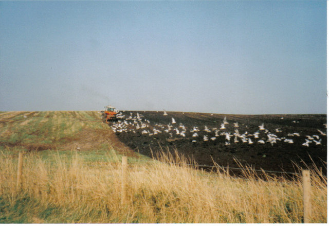
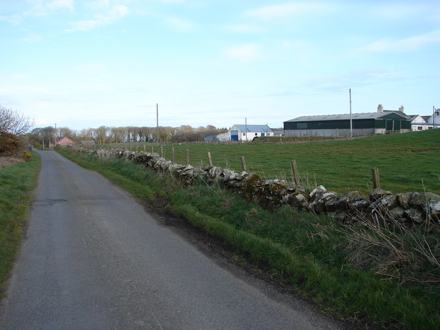
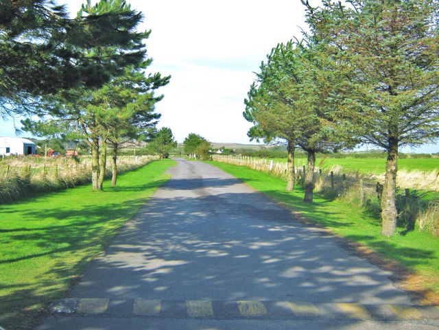
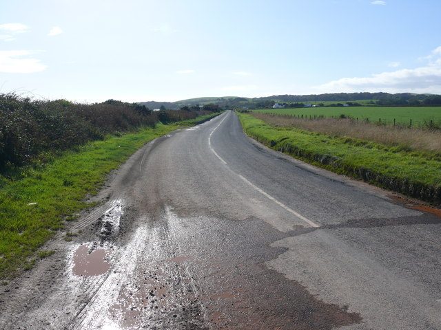
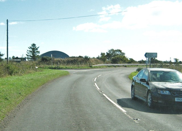
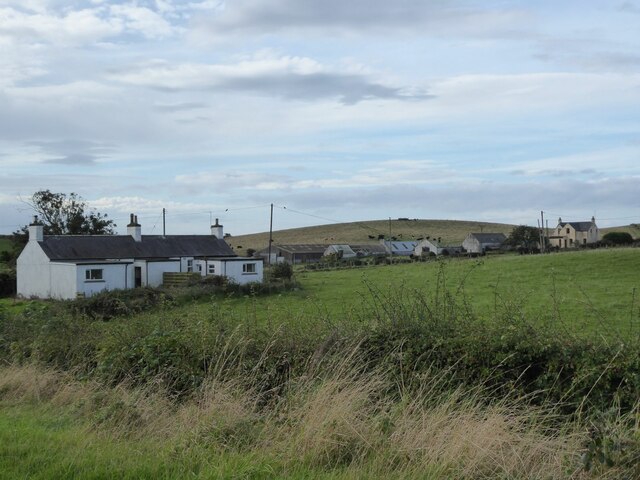
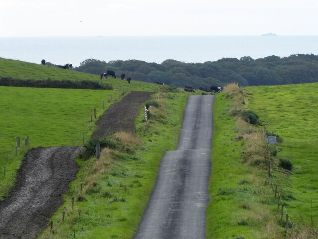
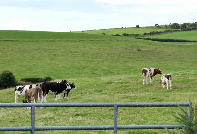
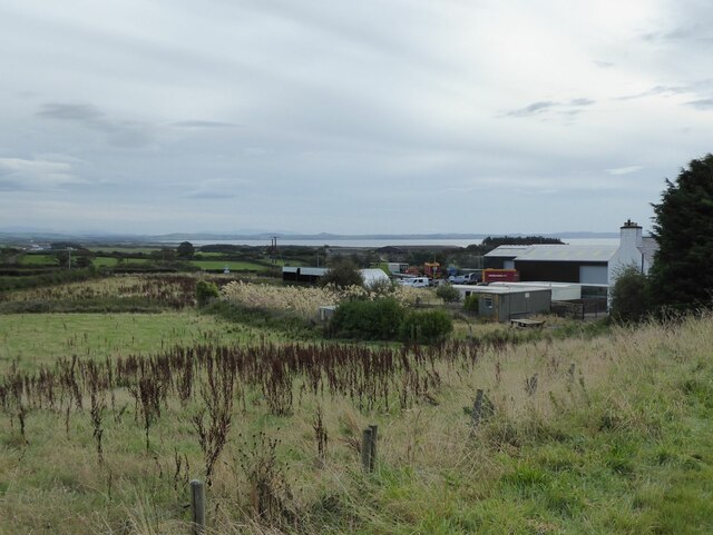
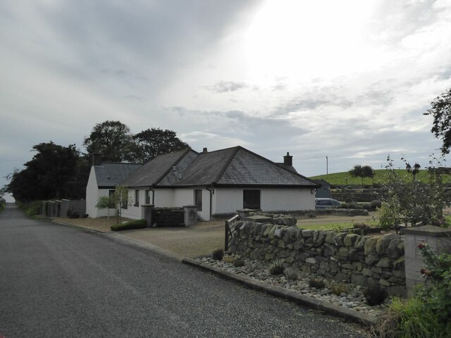
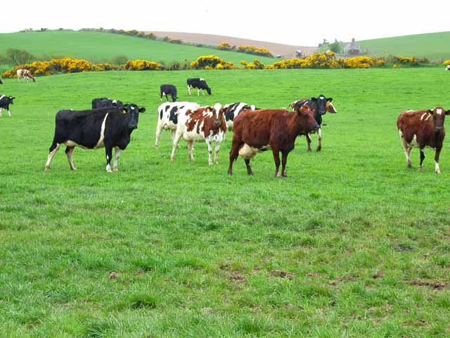
Knockwar Hill Images

Images are sourced within 2km of 54.81999/-4.9878252 or Grid Reference NX0851. Thanks to Geograph Open Source API. All images are credited.

Field -gulls following the plough After harvesting, the stubble is being ploughed in. This is on an unclassified road near Sandhead, between Balgreggan and Cairngarroch farms.
Field -gulls following the plough
After harvesting, the stubble is being ploughed in. This is on an unclassified road near Sandhead, between Balgreggan and Cairngarroch farms.
Moorpark Farm, Balgreggan Moorpark Farm situated on the Sandhead-Cairngarroch road.
Moorpark Farm, Balgreggan
Moorpark Farm situated on the Sandhead-Cairngarroch road.
Entrance road to the Sands of Luce Caravan Park This road is from the B7084 to the caravan site.  Although it appears to be private, there is a small public car park to the right, just behind the photographer.  From this car park, there is access through the sandhills, to the beach at Sandhead.
Entrance road to the Sands of Luce Caravan Park
This road is from the B7084 to the caravan site. Although it appears to be private, there is a small public car park to the right, just behind the photographer. From this car park, there is access through the sandhills, to the beach at Sandhead.
Culmore Bridge View from the bridge along the B7084 to the junction with the A716.
Culmore Bridge
View from the bridge along the B7084 to the junction with the A716.
Junction of the A716 and the B7084
Kildonnan Cottages With cattle on the hill beyond.
Kildonnan Cottages
With cattle on the hill beyond.
The road to Sandhead Cattle country!
Note the fenced track beside the pasture so the cows do not trample the grass on their way to be milked.
On the horizon are the Little Scares and the Big Scare.
The road to Sandhead
Cattle country! Note the fenced track beside the pasture so the cows do not trample the grass on their way to be milked. On the horizon are the Little Scares and the Big Scare.
Cattle in pasture  On Knockwar Hill.
Cattle in pasture
On Knockwar Hill.
Dalvadie farm Luce Bay in the distance.
Dalvadie farm
Luce Bay in the distance.
Drumdally Cottage Approaching Sandhead.
Drumdally Cottage
Approaching Sandhead.
Cattle at High Three Mark Seen from the B7042
Cattle at High Three Mark
Seen from the B7042
Covered reservoir on the B7042
High Three Mark On the B7042 Portpatrick to Sandhead road.
High Three Mark
On the B7042 Portpatrick to Sandhead road.
On the B7042 near Sandhead Portpatrick to Sandhead road. In south-west Scotland, even the B roads seem like country lanes.
On the B7042 near Sandhead
Portpatrick to Sandhead road. In south-west Scotland, even the B roads seem like country lanes.
Dalvadie near Sandhead On the B7042 Portpatrick to Sandhead road
Dalvadie near Sandhead
On the B7042 Portpatrick to Sandhead road
Private woodland near Sandhead
High Culgroat, near Sandhead
Cottage near Sandhead Looking north east. The cottage is adjacent to the A716.
Cottage near Sandhead
Looking north east. The cottage is adjacent to the A716.
Show me another place!

Knockwar Hill is located at Grid Ref: NX0851 (Lat: 54.81999, Lng: -4.9878252)

Unitary Authority: Dumfries and Galloway

Police Authority: Dumfries and Galloway

What 3 Words

///shrug.rooting.detonated. Near Stranraer, Dumfries & Galloway

Related Wikis

Stoneykirk

Stoneykirk (Scottish Gaelic: Eaglais Steafain) is an area and a village in the heart of the Rhins of Galloway, Wigtownshire, in the administrative council...

Sandhead

Sandhead is a small village in Dumfries and Galloway, south west Scotland. It overlooks Luce Bay, 7 miles south of Stranraer. The old main road, named...

RAF West Freugh

RAF West Freugh is a former Royal Air Force station located in Wigtownshire, 5 miles (8 km) south east of Stranraer, Dumfries and Galloway, Scotland. It...

Garthland Castle

Garthland Castle was a castle that was located near Garthland Mains, Dumfries and Galloway, Scotland.The castle was possibly built in 1211, as a datestone...

Nearby Amenities

Located within 500m of 54.81999,-4.9878252
Power: pole
Lat/Long: 54.8229536/-4.9819894
The data included in this document is from www.openstreetmap.org. The data is made available under ODbL.

Have you been to Knockwar Hill?

Leave your review of Knockwar Hill below (or comments, questions and feedback).