Shawn Hill

Hill, Mountain in Wigtownshire

Scotland

Shawn Hill

Snow on the shore and lying on the sea at Sandhead A heavy snow shower fell on the sand when the tide was out. The incoming tide lifted the snow on top of the water. A rare sight for somewhere that gets snow about once every two or three years.
Snow on the shore and lying on the sea at Sandhead Credit: Colin McDonald

Shawn Hill is a prominent hill located in Wigtownshire, a historic county situated in the southwestern part of Scotland. Standing at an elevation of approximately 375 meters (1230 feet), it offers breathtaking views of the surrounding landscape, making it a popular destination for outdoor enthusiasts and nature lovers alike.

This hill is characterized by its gentle slopes and undulating terrain, making it accessible to hikers of varying skill levels. It is covered in a patchwork of heather and grass, creating a picturesque backdrop throughout the year. The hill is known for its rich biodiversity, with a variety of plant and animal species calling it home.

At the summit of Shawn Hill, visitors are rewarded with panoramic vistas that stretch across the lush countryside and out towards the coastline. On clear days, it is even possible to spot the distant Mull of Galloway, a prominent headland on the southernmost tip of Scotland.

For those seeking outdoor adventures, Shawn Hill offers several well-marked trails that wind their way up the slopes. These paths provide an opportunity to explore the area's natural beauty while immersing oneself in the tranquility of the Scottish countryside.

Shawn Hill is not only a natural landmark but also holds cultural significance. It has been the subject of various artistic representations, with several local artists capturing its beauty on canvas. Additionally, it is a site of historical importance, having witnessed centuries of human activity in the region.

Overall, Shawn Hill in Wigtownshire is a captivating destination that offers a blend of natural beauty, recreational opportunities, and a glimpse into the area's rich history.

If you have any feedback on the listing, please let us know in the comments section below.
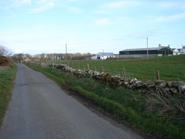
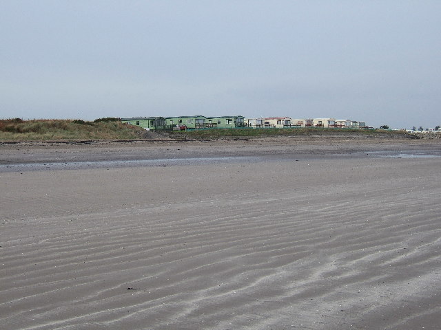
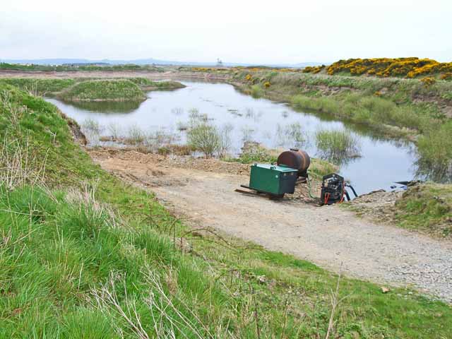
Shawn Hill Images

Images are sourced within 2km of 54.821247/-4.9765518 or Grid Reference NX0851. Thanks to Geograph Open Source API. All images are credited.

Snow on the shore and lying on the sea at Sandhead A heavy snow shower fell on the sand when the tide was out. The incoming tide lifted the snow on top of the water. A rare sight for somewhere that gets snow about once every two or three years.
Snow on the shore and lying on the sea at Sandhead
A heavy snow shower fell on the sand when the tide was out. The incoming tide lifted the snow on top of the water. A rare sight for somewhere that gets snow about once every two or three years.
Sandhead Village, about 8 miles South of Stranraer The village of Sandhead photographed on a dull Autumn day from the beach at low tide.
Sandhead Village, about 8 miles South of Stranraer
The village of Sandhead photographed on a dull Autumn day from the beach at low tide.
Sandhead beach Looking north east.
Sandhead beach
Looking north east.
Playground at Sandhead The main part of the village is on a raised beach. The old sea cliff can be seen behind.
Playground at Sandhead
The main part of the village is on a raised beach. The old sea cliff can be seen behind.
Moorpark Farm, Balgreggan Moorpark Farm situated on the Sandhead-Cairngarroch road.
Moorpark Farm, Balgreggan
Moorpark Farm situated on the Sandhead-Cairngarroch road.
Parking area on the sea front at Sandhead
High tide at Sandhead, looking north
High tide at Sandhead, looking southeast Purdie's Point is across the bay.  The Isle of Man can be seen on the horizon.
High tide at Sandhead, looking southeast
Purdie's Point is across the bay. The Isle of Man can be seen on the horizon.
Parking area by the beach at Sandhead
Public toilets, Sandhead
Children's play area overlooking Luce Bay There is a parking area beyond the playing area, right on the edge of the beach.
Children's play area overlooking Luce Bay
There is a parking area beyond the playing area, right on the edge of the beach.
Luce Bay View, Sandhead
McKenzie's shop, Sandhead This village shop stands at the junction of Main Street and Luce Bay View.
McKenzie's shop, Sandhead
This village shop stands at the junction of Main Street and Luce Bay View.
Tigh-Na-Mara Hotel This hotel is on Main Street.
Tigh-Na-Mara Hotel
This hotel is on Main Street.
Sandhead Bay in Spring Looking across Sandwell Bay to north end of Luce Bay.  The whiffs of grey smoke (visible above and to right of the heads of couple with white dog in right foreground) are from an ignited demolition charge used during training at MOD West Freugh range.
Sandhead Bay in Spring
Looking across Sandwell Bay to north end of Luce Bay. The whiffs of grey smoke (visible above and to right of the heads of couple with white dog in right foreground) are from an ignited demolition charge used during training at MOD West Freugh range.
Falling tide at Sandhead Bay
Sandhead Caravan site A lovely caravan site in the summer with the caravans looking right out onto miles of unspoilt beach. Her, it is seen at low tide on a November afternoon.
Sandhead Caravan site
A lovely caravan site in the summer with the caravans looking right out onto miles of unspoilt beach. Her, it is seen at low tide on a November afternoon.
Sand Pit north of Sandhead There is a large sand extraction industry based at various sites round Luce Bay
Sand Pit north of Sandhead
There is a large sand extraction industry based at various sites round Luce Bay
Show me another place!

Shawn Hill is located at Grid Ref: NX0851 (Lat: 54.821247, Lng: -4.9765518)

Unitary Authority: Dumfries and Galloway

Police Authority: Dumfries and Galloway

What 3 Words

///cuddling.educates.lightly. Near Stranraer, Dumfries & Galloway

Related Wikis

Stoneykirk

Stoneykirk (Scottish Gaelic: Eaglais Steafain) is an area and a village in the heart of the Rhins of Galloway, Wigtownshire, in the administrative council...

Sandhead

Sandhead is a small village in Dumfries and Galloway, south west Scotland. It overlooks Luce Bay, 7 miles south of Stranraer. The old main road, named...

RAF West Freugh

MOD West Freugh is located in Wigtownshire, 5 miles (8 km) south east of Stranraer, Dumfries and Galloway, Scotland, and is operated by defence contractor...

Garthland Castle

Garthland Castle was a castle that was located near Garthland Mains, Dumfries and Galloway, Scotland. The castle was possibly built in 1211, as a datestone...

Nearby Amenities

Located within 500m of 54.821247,-4.9765518
Power: pole
Lat/Long: 54.8246251/-4.9724481
Power: pole
Lat/Long: 54.8253704/-4.9772049
Power: pole
Lat/Long: 54.824755/-4.9770288
Power: pole
Lat/Long: 54.8241343/-4.9768621
Power: pole
Lat/Long: 54.8232457/-4.9766203
Power: pole
Lat/Long: 54.8226452/-4.9758128
Power: pole
Lat/Long: 54.8221137/-4.9751179
Power: pole
Lat/Long: 54.8214861/-4.9742985
Power: pole
Lat/Long: 54.8208342/-4.9734182
Power: pole
Lat/Long: 54.8201633/-4.9725519
Power: pole
Lat/Long: 54.8195749/-4.9717162
Power: pole
Lat/Long: 54.8190136/-4.970925
Power: pole
Lat/Long: 54.8171429/-4.9753033
Power: pole
Lat/Long: 54.8230754/-4.9775503
Power: pole
Lat/Long: 54.8229693/-4.9782526
Power: pole
Lat/Long: 54.8229681/-4.9797116
Power: pole
Lat/Long: 54.8229681/-4.9809223
Power: pole
Lat/Long: 54.8229536/-4.9819894
Power: pole
Lat/Long: 54.8223243/-4.979799
Power: pole
Lat/Long: 54.8244681/-4.974023
Power: pole
Lat/Long: 54.8243161/-4.9755364
Dalvadie
Place: farm
Lat/Long: 54.8179662/-4.9759373
The data included in this document is from www.openstreetmap.org. The data is made available under ODbL.

Have you been to Shawn Hill?

Leave your review of Shawn Hill below (or comments, questions and feedback).