Altogue Plantation

Wood, Forest in Wigtownshire

Scotland

Altogue Plantation

Moorpark Farm, Balgreggan Moorpark Farm situated on the Sandhead-Cairngarroch road.
Moorpark Farm, Balgreggan Credit: Chris Newman

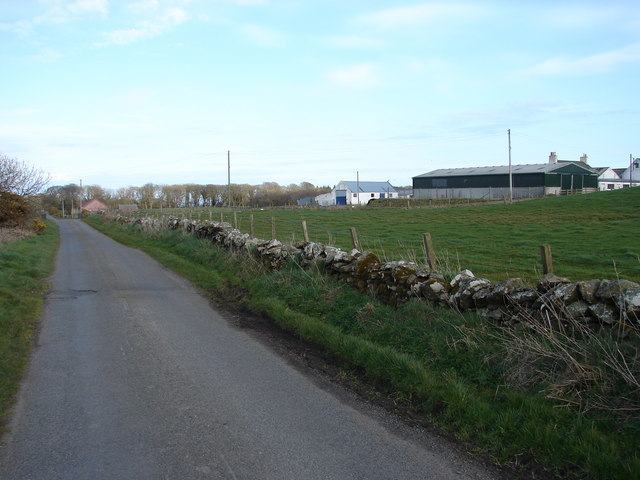
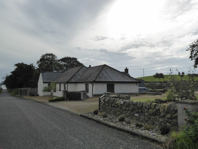
Altogue Plantation is a picturesque woodland located in Wigtownshire, Scotland. Covering an area of approximately 300 acres, this plantation is a haven of natural beauty and tranquility. The plantation is situated on the banks of the Altogue River, which adds to its charm and provides a serene ambiance.

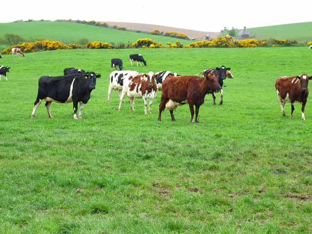
The woodland is primarily composed of a mix of native tree species, including oak, birch, and beech. These trees create a dense canopy that provides shelter to a diverse range of flora and fauna. The forest floor is adorned with a carpet of wildflowers, adding vibrant colors to the landscape.

Altogue Plantation offers various walking trails, allowing visitors to explore the woodland at their own pace. The trails wind through the forest, offering breathtaking views of the surrounding countryside and glimpses of wildlife that call the plantation home. Birdwatchers will be delighted by the abundance of species, including woodpeckers, owls, and various songbirds.

In addition to its natural beauty, Altogue Plantation also has historical significance. The woodland was once part of a larger estate and has remnants of ancient settlements, such as old stone walls and ruins. These historical features add a sense of mystery and intrigue to the plantation, attracting history enthusiasts and nature lovers alike.

Overall, Altogue Plantation is a hidden gem in Wigtownshire, offering a peaceful retreat for those seeking solace in nature's embrace. Its combination of stunning woodlands, diverse wildlife, and historical remnants make it a must-visit destination for both locals and tourists.

If you have any feedback on the listing, please let us know in the comments section below.

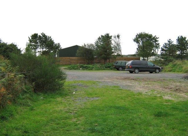
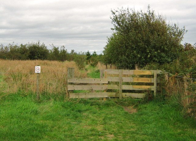
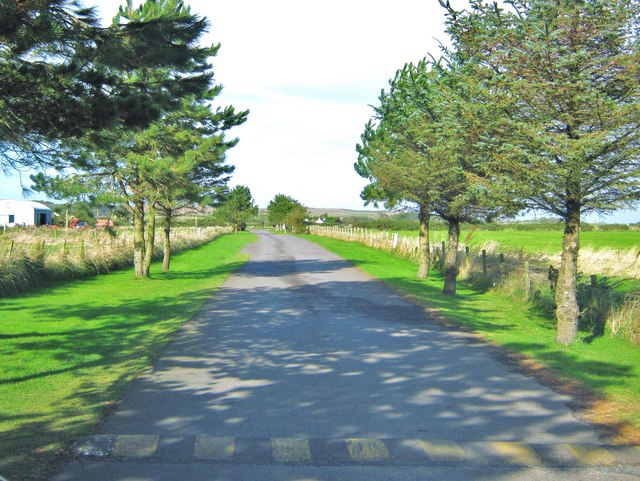
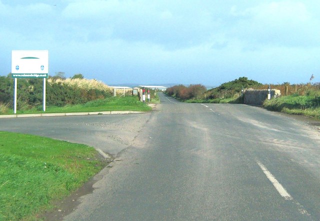
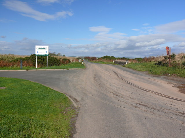
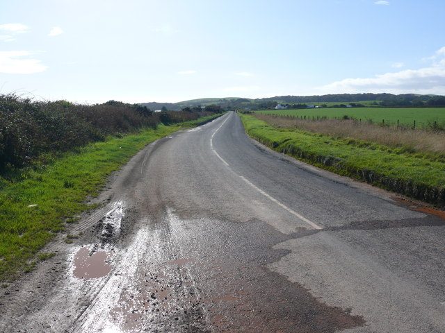
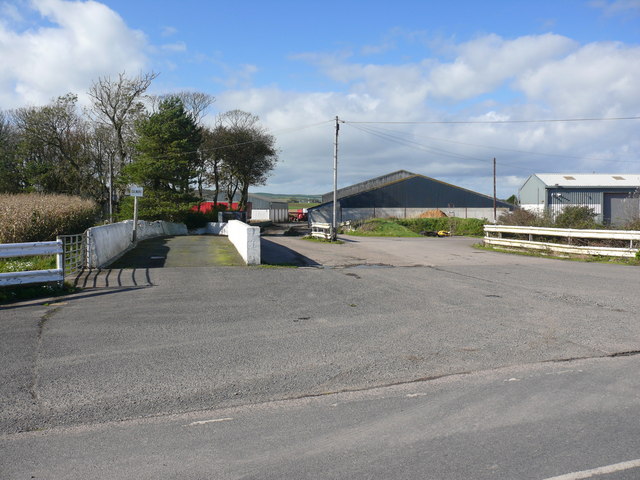
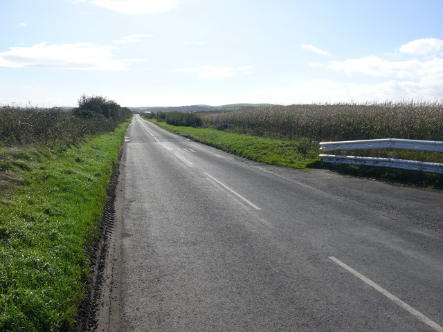
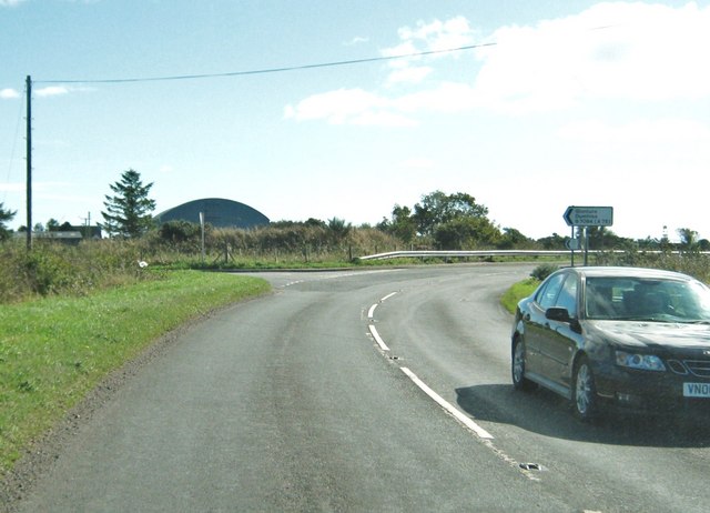
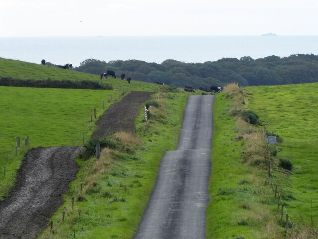
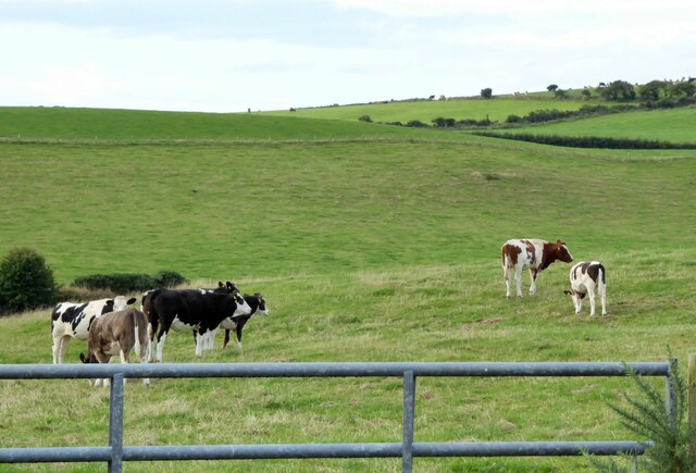
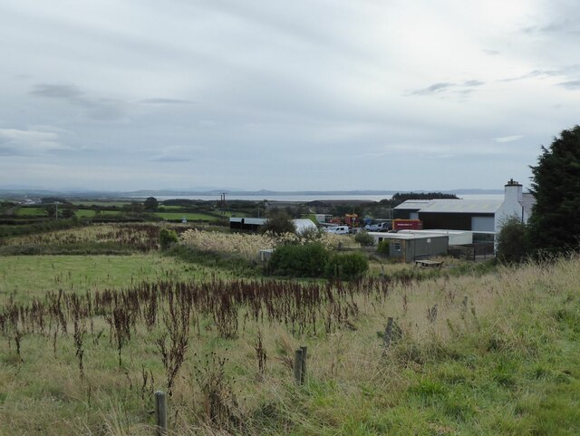
Altogue Plantation Images

Images are sourced within 2km of 54.824426/-4.9821736 or Grid Reference NX0851. Thanks to Geograph Open Source API. All images are credited.

Moorpark Farm, Balgreggan Moorpark Farm situated on the Sandhead-Cairngarroch road.
Moorpark Farm, Balgreggan
Moorpark Farm situated on the Sandhead-Cairngarroch road.
Sandhead Caravan site A lovely caravan site in the summer with the caravans looking right out onto miles of unspoilt beach. Her, it is seen at low tide on a November afternoon.
Sandhead Caravan site
A lovely caravan site in the summer with the caravans looking right out onto miles of unspoilt beach. Her, it is seen at low tide on a November afternoon.
Sand Pit north of Sandhead There is a large sand extraction industry based at various sites round Luce Bay
Sand Pit north of Sandhead
There is a large sand extraction industry based at various sites round Luce Bay
Culmore Trading Estate, near Sandhead Another example of agricultural diversification - the establishment of a small trading estate on farm premises.
Culmore Trading Estate, near Sandhead
Another example of agricultural diversification - the establishment of a small trading estate on farm premises.
Car park, near Sandhead To get to this car park, one has to turn into a small track marked "Sands of Luce Caravan Park".  It appears to be for those using the caravan park only but, just before the track turns right, into the caravan park, there is this small car on the left.  This is a public car park.
Car park, near Sandhead
To get to this car park, one has to turn into a small track marked "Sands of Luce Caravan Park". It appears to be for those using the caravan park only but, just before the track turns right, into the caravan park, there is this small car on the left. This is a public car park.
Gateway leading to the beach This gateway is at one side of a small car park beside The Sands of Luce Caravan Park.  The path leads from the car park, through the sandhills and onto the miles of beach.
Gateway leading to the beach
This gateway is at one side of a small car park beside The Sands of Luce Caravan Park. The path leads from the car park, through the sandhills and onto the miles of beach.
Entrance road to the Sands of Luce Caravan Park This road is from the B7084 to the caravan site.  Although it appears to be private, there is a small public car park to the right, just behind the photographer.  From this car park, there is access through the sandhills, to the beach at Sandhead.
Entrance road to the Sands of Luce Caravan Park
This road is from the B7084 to the caravan site. Although it appears to be private, there is a small public car park to the right, just behind the photographer. From this car park, there is access through the sandhills, to the beach at Sandhead.
Culmore Bridge Culmore Bridge is on the B7084. The entrance to Culmore Bridge Holiday Cottages is on the left.
Culmore Bridge
Culmore Bridge is on the B7084. The entrance to Culmore Bridge Holiday Cottages is on the left.
Culmore Bridge Picture of the bridge and entrance to Culmore Bridge holiday cottages. The road is the B7084 which runs up to the A75.
Culmore Bridge
Picture of the bridge and entrance to Culmore Bridge holiday cottages. The road is the B7084 which runs up to the A75.
Culmore Bridge View from the bridge along the B7084 to the junction with the A716.
Culmore Bridge
View from the bridge along the B7084 to the junction with the A716.
Culmore View of the entrance to this farm which operates as a large trading estate <a href="https://www.geograph.org.uk/photo/165013">NX1052 : Culmore Trading Estate, near Sandhead</a>.
Culmore
View of the entrance to this farm which operates as a large trading estate NX1052 : Culmore Trading Estate, near Sandhead.
Culmore The B7084 runs down from here to the A716.
Culmore
The B7084 runs down from here to the A716.
Junction of the A716 and the B7084
The road to Sandhead Cattle country!
Note the fenced track beside the pasture so the cows do not trample the grass on their way to be milked.
On the horizon are the Little Scares and the Big Scare.
The road to Sandhead
Cattle country! Note the fenced track beside the pasture so the cows do not trample the grass on their way to be milked. On the horizon are the Little Scares and the Big Scare.
Cattle in pasture  On Knockwar Hill.
Cattle in pasture
On Knockwar Hill.
Dalvadie farm Luce Bay in the distance.
Dalvadie farm
Luce Bay in the distance.
Drumdally Cottage Approaching Sandhead.
Drumdally Cottage
Approaching Sandhead.
Cattle at High Three Mark Seen from the B7042
Cattle at High Three Mark
Seen from the B7042
Show me another place!

Altogue Plantation is located at Grid Ref: NX0851 (Lat: 54.824426, Lng: -4.9821736)

Unitary Authority: Dumfries and Galloway

Police Authority: Dumfries and Galloway

What 3 Words

///villager.coaster.rival. Near Stranraer, Dumfries & Galloway

Related Wikis

Stoneykirk

Stoneykirk (Scottish Gaelic: Eaglais Steafain) is an area and a village in the heart of the Rhins of Galloway, Wigtownshire, in the administrative council...

RAF West Freugh

RAF West Freugh is a former Royal Air Force station located in Wigtownshire, 5 miles (8 km) south east of Stranraer, Dumfries and Galloway, Scotland. It...

Sandhead

Sandhead is a small village in Dumfries and Galloway, south west Scotland. It overlooks Luce Bay, 7 miles south of Stranraer. The old main road, named...

Garthland Castle

Garthland Castle was a castle that was located near Garthland Mains, Dumfries and Galloway, Scotland.The castle was possibly built in 1211, as a datestone...

Lochans, Dumfries and Galloway

Lochans is a small village around 2.5 miles (4.0 km) south of Stranraer, in Dumfries and Galloway in south-west Scotland. In 1971 it had a population of...

Clachanmore

Clachanmore is a village in the South Rhins of Galloway near Ardwell in the south west of Scotland. It has also been known as Low Ardwell.The name of the...

Colfin railway station

Colfin railway station, located in Wigtownshire, Scotland, between Portpatrick and Stranraer, was a station on the Portpatrick and Wigtownshire Joint Railway...

Rhins of Galloway

The Rhins of Galloway, otherwise known as the Rhins of Wigtownshire (or as The Rhins, also spelled The Rhinns; Scottish Gaelic: Na Rannaibh), is a hammer...

Nearby Amenities

Located within 500m of 54.824426,-4.9821736
Power: pole
Lat/Long: 54.8283523/-4.9785524
Power: pole
Lat/Long: 54.8275815/-4.978151
Power: pole
Lat/Long: 54.827096/-4.9783623
Power: pole
Lat/Long: 54.8265496/-4.9778716
Power: pole
Lat/Long: 54.8259965/-4.9773716
Power: pole
Lat/Long: 54.8253704/-4.9772049
Power: pole
Lat/Long: 54.824755/-4.9770288
Power: pole
Lat/Long: 54.8241343/-4.9768621
Power: pole
Lat/Long: 54.8232457/-4.9766203
Power: pole
Lat/Long: 54.8226452/-4.9758128
Power: pole
Lat/Long: 54.8230754/-4.9775503
Power: pole
Lat/Long: 54.8229693/-4.9782526
Power: pole
Lat/Long: 54.8229681/-4.9797116
Power: pole
Lat/Long: 54.8229681/-4.9809223
Power: pole
Lat/Long: 54.8229536/-4.9819894
Power: pole
Lat/Long: 54.8223243/-4.979799
Power: pole
Lat/Long: 54.8243161/-4.9755364
Generator Method: wind_turbine
Generator Source: wind
Power: generator
Lat/Long: 54.8267299/-4.9840578
Generator Method: wind_turbine
Generator Source: wind
Power: generator
Lat/Long: 54.826208/-4.9836422
Generator Method: wind_turbine
Generator Source: wind
Power: generator
Lat/Long: 54.8256027/-4.9830771
The data included in this document is from www.openstreetmap.org. The data is made available under ODbL.

Have you been to Altogue Plantation?

Leave your review of Altogue Plantation below (or comments, questions and feedback).