Guyon's Brae Wood

Wood, Forest in Wigtownshire

Scotland

Guyon's Brae Wood

Inch Church near Castle Kennedy
Inch Church near Castle Kennedy Credit: Oliver Dixon

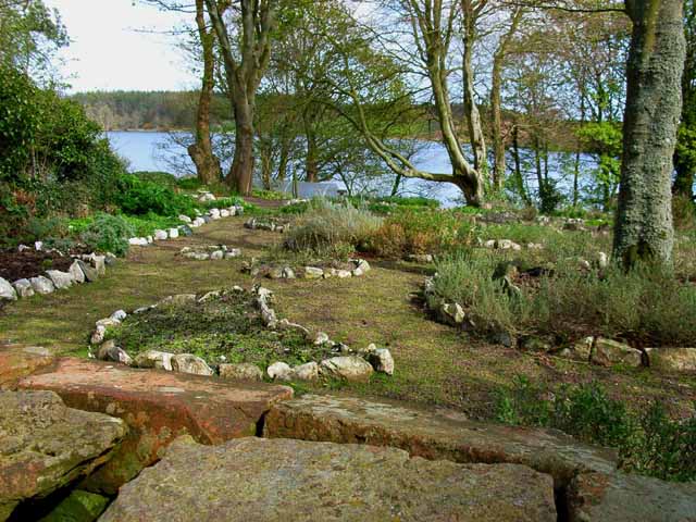
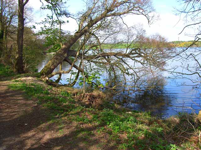
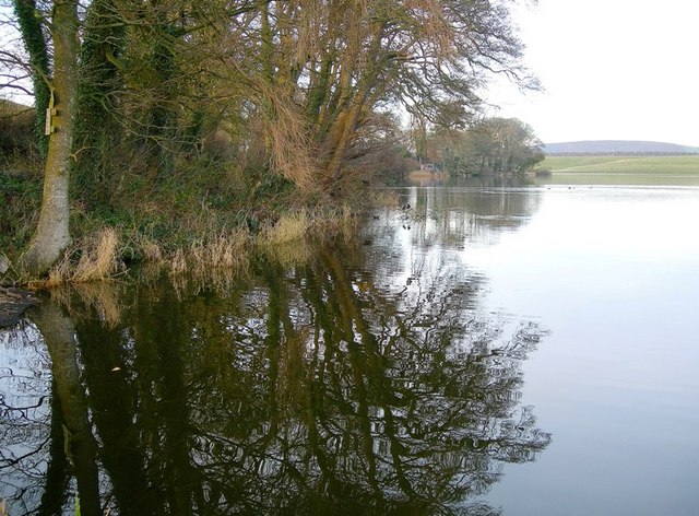
Guyon's Brae Wood is a picturesque woodland located in Wigtownshire, Scotland. Covering an area of approximately 50 acres, it is a popular destination for nature enthusiasts and hikers alike. The wood is situated on a gentle slope, providing visitors with stunning panoramic views of the surrounding countryside.

The wood is predominantly composed of native tree species such as oak, birch, and ash, creating a diverse and vibrant ecosystem. The dense canopy of the trees provides shade and shelter for a variety of wildlife, including birds, insects, and small mammals. It is a designated Site of Special Scientific Interest (SSSI), highlighting its importance for conservation and biodiversity.

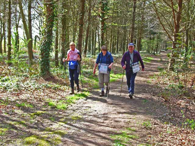
A network of well-maintained trails winds through Guyon's Brae Wood, allowing visitors to explore its natural beauty at their own pace. These paths vary in difficulty, catering to both casual walkers and more experienced hikers. Interpretive signs are placed along the trails, providing information on the flora and fauna found within the wood.

The wood is also home to several ancient ruins, including the remnants of a former settlement. These archaeological sites offer a glimpse into the area's rich history and add an element of intrigue to the woodland experience.

With its tranquil atmosphere and stunning scenery, Guyon's Brae Wood attracts visitors throughout the year. Whether it's a leisurely walk, birdwatching, or simply enjoying the peaceful surroundings, this wood offers a wonderful escape into nature for all who visit.

If you have any feedback on the listing, please let us know in the comments section below.

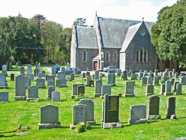
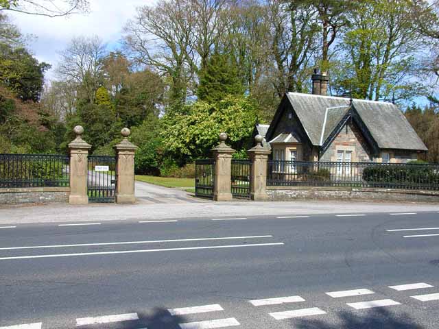
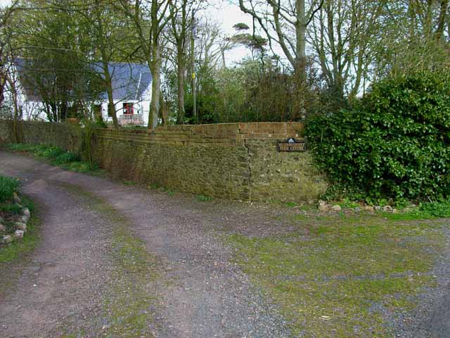
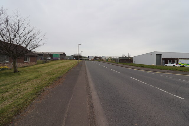
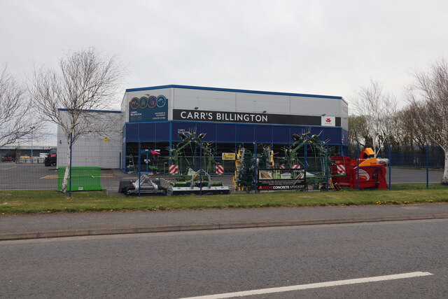
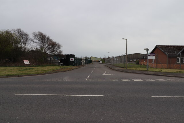
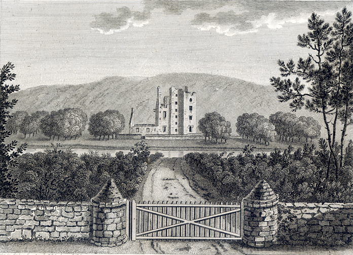
Guyon's Brae Wood Images

Images are sourced within 2km of 54.892343/-4.9882699 or Grid Reference NX0859. Thanks to Geograph Open Source API. All images are credited.

Inch Church near Castle Kennedy
Gateway to Lochinch Castle Lochinch Castle lies within the same park as the famous Castle Kennedy Gardens, the entrance to which is a bit further along the main road. <span class="nowrap"><a title="https://vault2.secured-url.com/stair/ckg/history.asp" rel="nofollow ugc noopener" href="https://vault2.secured-url.com/stair/ckg/history.asp">Link</a><img style="margin-left:2px;" alt="External link" title="External link - shift click to open in new window" src="https://s1.geograph.org.uk/img/external.png" width="10" height="10"/></span>
Gateway to Lochinch Castle
Lochinch Castle lies within the same park as the famous Castle Kennedy Gardens, the entrance to which is a bit further along the main road. LinkExternal link
Meadowsweet Herb Garden, Soulseat Loch Although still a herb garden, it is no longer open to the public. The house provides bed and breakfast accommodation close to the Southern Upland Way, and forms a useful first night's staging point out of Portpatrick.  <span class="nowrap"><a title="http://www.southernuplandway.com/accommodation/accom_detail.asp?sectionid=&accommodationid=1625" rel="nofollow ugc noopener" href="http://www.southernuplandway.com/accommodation/accom_detail.asp?sectionid=&accommodationid=1625">Link</a><img style="margin-left:2px;" alt="External link" title="External link - shift click to open in new window" src="https://s1.geograph.org.uk/img/external.png" width="10" height="10"/></span>
Meadowsweet Herb Garden, Soulseat Loch
Although still a herb garden, it is no longer open to the public. The house provides bed and breakfast accommodation close to the Southern Upland Way, and forms a useful first night's staging point out of Portpatrick. LinkExternal link
The Southern Upland Way near Castle Kennedy The Southern Upland Way is one of Scotland's official long-distance paths and runs 340 km from Portpatrick in the west to Cockburnspath in the east. Here it passes through woods just outside Castle Kennedy
The Southern Upland Way near Castle Kennedy
The Southern Upland Way is one of Scotland's official long-distance paths and runs 340 km from Portpatrick in the west to Cockburnspath in the east. Here it passes through woods just outside Castle Kennedy
Meadowsweet Herb Garden, Soulseat Loch Still a herb garden, although no longer open to the public <a href="https://www.geograph.org.uk/photo/163482">NX1058 : Meadowsweet Herb Garden, Soulseat Loch</a>
Meadowsweet Herb Garden, Soulseat Loch
Still a herb garden, although no longer open to the public NX1058 : Meadowsweet Herb Garden, Soulseat Loch
Southern end of Soulseat Loch One of several small lochs in this part of Wigtownshire.
Southern end of Soulseat Loch
One of several small lochs in this part of Wigtownshire.
Winter Reflections on Soulseat Loch Viewed at the end of a bright December day.
Winter Reflections on Soulseat Loch
Viewed at the end of a bright December day.
Grey Wagtail This Grey Wagtail kept on landing on our door mirrors, trying to chase off the other bird that he could see in the reflections.  He wouldn't give up!
Grey Wagtail
This Grey Wagtail kept on landing on our door mirrors, trying to chase off the other bird that he could see in the reflections. He wouldn't give up!
Stranraer Ambulance Station At Fountain Way on Blackparks Industrial Estate.
Stranraer Ambulance Station
At Fountain Way on Blackparks Industrial Estate.
Carr's Billington, Stranraer Country Store and Machinery at Fountain Way on Blackparks Industrial Estate.
Carr's Billington, Stranraer
Country Store and Machinery at Fountain Way on Blackparks Industrial Estate.
Fountain Way, Stranraer Just off Commerce Road on Blackparks Industrial Estate.
Fountain Way, Stranraer
Just off Commerce Road on Blackparks Industrial Estate.
Commerce Road, Stranraer From the junction with Fountain Way on Blackparks Industrial Estate.
Commerce Road, Stranraer
From the junction with Fountain Way on Blackparks Industrial Estate.
Commerce Road, Stranraer From the junction with Fountain Way on Blackparks Industrial Estate. On the mid right is Stranraer Ambulance Station.
Commerce Road, Stranraer
From the junction with Fountain Way on Blackparks Industrial Estate. On the mid right is Stranraer Ambulance Station.
Carr's Billington, Stranraer Country Store and Machinery at Fountain Way on Blackparks Industrial Estate. Viewed from Commerce Road.
Carr's Billington, Stranraer
Country Store and Machinery at Fountain Way on Blackparks Industrial Estate. Viewed from Commerce Road.
Woodlea Road, Stranraer Just off Commerce Road on Blackparks Industrial Estate.
Woodlea Road, Stranraer
Just off Commerce Road on Blackparks Industrial Estate.
Carr's Billington, Stranraer Country Store and Machinery at Fountain Way on Blackparks Industrial Estate.
Carr's Billington, Stranraer
Country Store and Machinery at Fountain Way on Blackparks Industrial Estate.
Dingbro Ltd, Stranraer At Fountain Way on Blackparks Industrial Estate. Wholesale Distributor of Motor Components.
Dingbro Ltd, Stranraer
At Fountain Way on Blackparks Industrial Estate. Wholesale Distributor of Motor Components.
The Southern Upland Way near Whiteleys
Show me another place!

Guyon's Brae Wood is located at Grid Ref: NX0859 (Lat: 54.892343, Lng: -4.9882699)

Unitary Authority: Dumfries and Galloway

Police Authority: Dumfries and Galloway

What 3 Words

///spenders.grants.sprouts. Near Stranraer, Dumfries & Galloway

Related Wikis

Aird, Dumfries and Galloway

Aird (Gaelic:An Àird) is a village in Dumfries and Galloway, in the southwest of Scotland. It is 2.5 miles (4.0 km) east of Stranraer and 1 mile (1.6 km...

Soulseat Abbey

Saulseat or Soulseat Abbey was a Premonstratensian monastic community located in Wigtownshire, Galloway, in the Gaelic-speaking south-west of Scotland...

Stair Park

Stair Park is a public park and football stadium in the town of Stranraer, Scotland and is the home of Stranraer F.C. It is owned by Dumfries and Galloway...

Stranraer Town railway station

Stranraer Town railway station, located in Wigtownshire, Scotland, served the town of Stranraer and was a station on the Portpatrick and Wigtownshire Joint...

Galloway Community Hospital

The Galloway Community Hospital is a small hospital in Stranraer, Galloway, Scotland. It is managed by NHS Dumfries and Galloway. == History == The hospital...

Castle Kennedy railway station

Castle Kennedy railway station served the village of Castle Kennedy, Dumfries and Galloway, Scotland from 1861 to 1965 on the Portpatrick and Wigtownshire...

Castle Kennedy

Castle Kennedy is a small village 3 miles (4.8 km) east of Stranraer in Dumfries and Galloway, south-west Scotland. It is on the A75 road, and is within...

North West Castle

North West Castle is a 19th-century three star country house hotel in Stranraer, Dumfries and Galloway, in the south west of Scotland.It is noteworthy...

Nearby Amenities

Located within 500m of 54.892343,-4.9882699
Power: pole
Lat/Long: 54.8949925/-4.9918994
Power: pole
Lat/Long: 54.894775/-4.9909177
Power: pole
Lat/Long: 54.894556/-4.9899763
Power: pole
Lat/Long: 54.8943339/-4.9889651
Power: pole
Lat/Long: 54.8940115/-4.9876186
Power: pole
Lat/Long: 54.8936999/-4.9862319
Power: pole
Lat/Long: 54.8935164/-4.9854004
Power: pole
Lat/Long: 54.8931878/-4.9840111
Power: pole
Lat/Long: 54.8929009/-4.9826887
Power: pole
Lat/Long: 54.89256/-4.9812001
Power: pole
Lat/Long: 54.892398/-4.981007
Power: pole
Lat/Long: 54.8925739/-4.9818921
Power: pole
Lat/Long: 54.8928315/-4.9831849
Power: pole
Lat/Long: 54.8930274/-4.9841693
Power: pole
Lat/Long: 54.8933097/-4.9854916
Power: pole
Lat/Long: 54.893612/-4.9868837
Power: pole
Lat/Long: 54.8938912/-4.9881631
Power: pole
Lat/Long: 54.8941704/-4.9895015
Power: pole
Lat/Long: 54.8944897/-4.9908856
Power: pole
Lat/Long: 54.8932834/-4.9950644
Power: pole
Lat/Long: 54.8926818/-4.9939567
Power: pole
Lat/Long: 54.8915789/-4.9920201
Power: pole
Lat/Long: 54.890985/-4.990966
Power: pole
Lat/Long: 54.890479/-4.9901104
Power: pole
Lat/Long: 54.8900378/-4.9893191
Power: pole
Lat/Long: 54.8894531/-4.9882731
Power: pole
Lat/Long: 54.888779/-4.9870849
Power: pole
Lat/Long: 54.8882035/-4.9860576
The data included in this document is from www.openstreetmap.org. The data is made available under ODbL.

Have you been to Guyon's Brae Wood?

Leave your review of Guyon's Brae Wood below (or comments, questions and feedback).