Cnoc na Ciste

Hill, Mountain in Sutherland

Scotland

Cnoc na Ciste

Shallow lochan above Imirfada
Shallow lochan above Imirfada Credit: Peter Bond

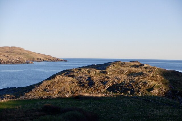
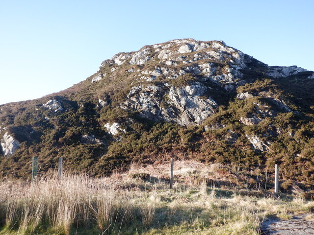
Cnoc na Ciste is a prominent hill located in the county of Sutherland, in the Scottish Highlands. With an elevation of 978 meters (3,209 feet), it is classified as a Corbett, which is a Scottish hill between 2,500 and 3,000 feet in height. The hill is situated in the northwest region of Scotland, near the village of Ullapool.

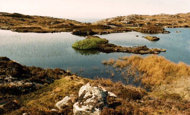
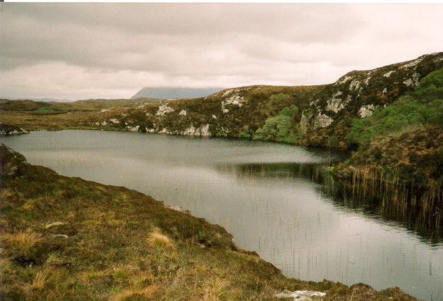
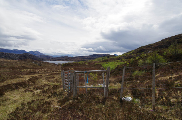
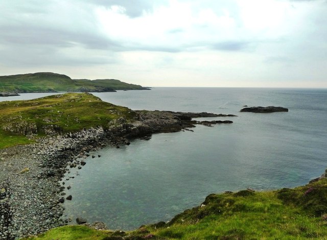
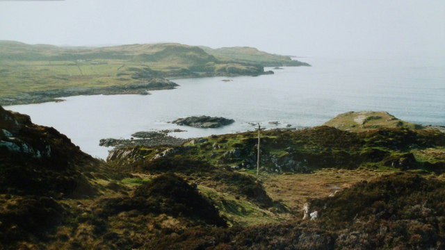
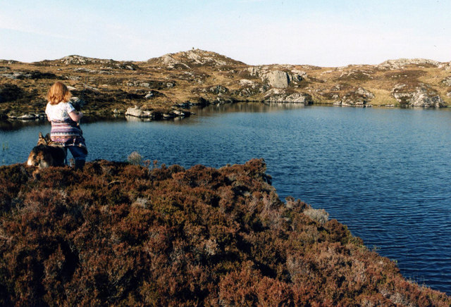
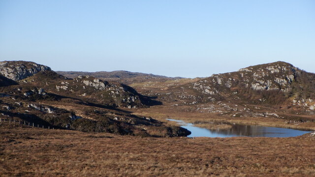
Cnoc na Ciste offers stunning panoramic views of the surrounding landscape, including the nearby mountain ranges of Ben More Coigach and An Teallach. Its distinctive shape and rugged terrain make it a popular destination for hillwalkers, hikers, and mountaineers.

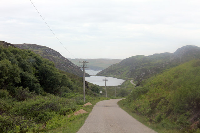
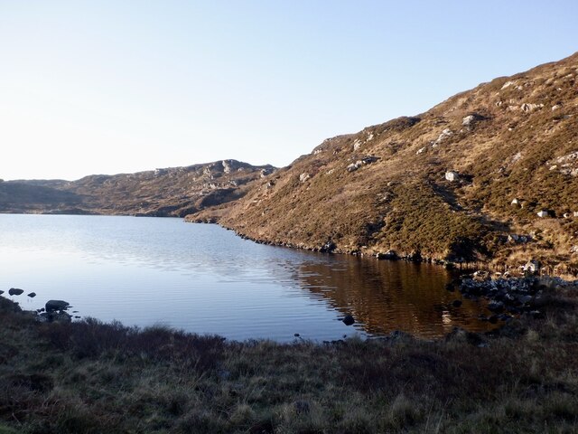
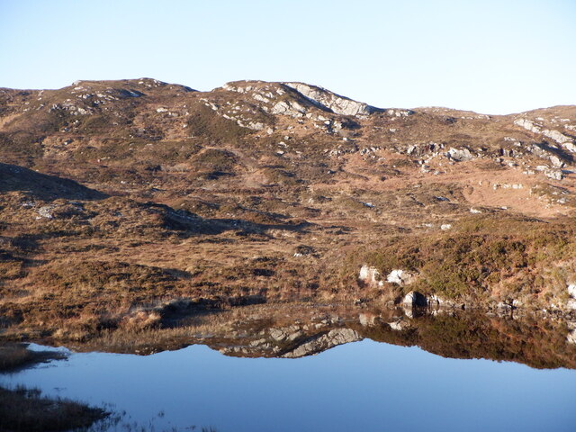
The ascent of Cnoc na Ciste is challenging, with steep slopes and rocky terrain, requiring a good level of fitness and experience in hillwalking. However, the reward is worth the effort, as the summit provides breathtaking views of the surrounding wilderness and the nearby Loch Broom.

The hill is also home to a variety of flora and fauna, including heather, grasses, and mosses, as well as a diverse range of bird species. It is not uncommon to spot golden eagles soaring above, adding to the allure of this natural haven.

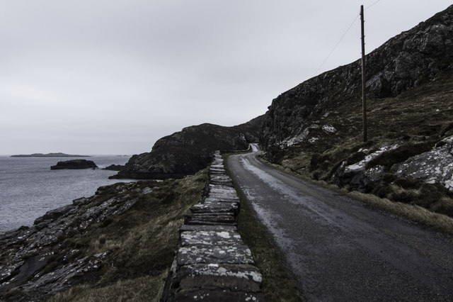
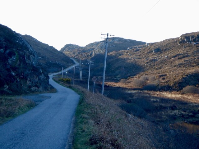
Due to its remote location, it is recommended to come prepared with appropriate clothing, maps, and navigation equipment when planning a visit to Cnoc na Ciste. Additionally, it is advisable to check weather conditions before setting off, as the Scottish Highlands can experience unpredictable weather patterns.

If you have any feedback on the listing, please let us know in the comments section below.

Cnoc na Ciste Images

Images are sourced within 2km of 58.226474/-5.2683806 or Grid Reference NC0831. Thanks to Geograph Open Source API. All images are credited.

Shallow lochan above Imirfada
Small Lochan near Loch nan Lub The shallow cliff on the right was the highest point in the area.
Small Lochan near Loch nan Lub
The shallow cliff on the right was the highest point in the area.
Loch Eileanach
Loch Eileanach
Loch na Bruthaich B869 down to Loch na Bruthaich and in the distance Clashnessie Bay.
Loch na Bruthaich
B869 down to Loch na Bruthaich and in the distance Clashnessie Bay.
Estate deer fence
Estate deer fence
Cùl Phuirte This is part of Clashnessie Bay, viewed on a disappointingly dull day that did no justice to the beauty of the scenery.
Cùl Phuirte
This is part of Clashnessie Bay, viewed on a disappointingly dull day that did no justice to the beauty of the scenery.
Road by Clashnessie Bay
Rough Ground above Imirfada From an old print.
Rough Ground above Imirfada
From an old print.
Unnamed Lochan above Imirfada
By Imirfada Coastal scenery beside the B869 near Clashnessie.
By Imirfada
Coastal scenery beside the B869 near Clashnessie.
Loch na Bruthaich East of Clashnessie, one of the many hill lochs amongst gneiss hills in North Assynt.
Loch na Bruthaich
East of Clashnessie, one of the many hill lochs amongst gneiss hills in North Assynt.
B869, Loch na Bruthaich An unusually straight bit of the road, but as always a gradient.
B869, Loch na Bruthaich
An unusually straight bit of the road, but as always a gradient.
Loch na Bruthaich
Loch na Bruthaich
Cnoc na Ciste Gneiss crags by Strathcroy.
Cnoc na Ciste
Gneiss crags by Strathcroy.
Loading platform, Strathcroy Beside the B869
Loading platform, Strathcroy
Beside the B869
Rough grazing, Strathcroy Gneiss scenery, North Assynt.
Rough grazing, Strathcroy
Gneiss scenery, North Assynt.
Lochan Fearna, North Assynt
Moorland, Strathcroy Gneiss scenery north of the B869, North Assynt. The sharp hill here <a href="https://www.geograph.org.uk/photo/7489716">NC0831 : Rough grazing, Strathcroy</a>, seen from the side.
Moorland, Strathcroy
Gneiss scenery north of the B869, North Assynt. The sharp hill here NC0831 : Rough grazing, Strathcroy, seen from the side.
Show me another place!

Cnoc na Ciste is located at Grid Ref: NC0831 (Lat: 58.226474, Lng: -5.2683806)

Unitary Authority: Highland

Police Authority: Highlands and Islands

What 3 Words

///obliging.imported.unopposed. Near Clachtoll, Highland

Nearby Locations

Cnoc na Ciste

Related Wikis

Clashnessie

Clashnessie (Scottish Gaelic: Clais an Easaidh) is a small crofting community on the North-West coast of Scotland; specifically in the Assynt area of Sutherland...

Oldany Island

Oldany Island (formerly Oldney Island) is an uninhabited island in Assynt, Sutherland, north-west Scotland. The name is Norse in origin and possibly means...

Achnacarnin

Achnacarnin (Scottish Gaelic: Achadh nan Càrnan) is a village on the headland of Point of Stoer in Lairg, Sutherland, within the Scottish local authority...

Culkein Drumbeg

Culkein Drumbeg (Scottish Gaelic: Cùl-cinn an Droma Bhig) is a remote village on the north west coast of Scotland. It is located 0.93 miles (1.50 km) north...

Nearby Amenities

Located within 500m of 58.226474,-5.2683806
Power: pole
Lat/Long: 58.2292622/-5.2746528
Power: pole
Lat/Long: 58.229049/-5.2734926
Power: pole
Lat/Long: 58.2288563/-5.2724063
Power: pole
Lat/Long: 58.2286534/-5.2713239
Power: pole
Lat/Long: 58.2284258/-5.2701481
Power: pole
Lat/Long: 58.2282105/-5.2689333
Power: pole
Lat/Long: 58.2280301/-5.2680417
Power: pole
Lat/Long: 58.2278272/-5.2669438
Power: pole
Lat/Long: 58.2280978/-5.2662624
Power: pole
Lat/Long: 58.2284689/-5.2653202
Power: pole
Lat/Long: 58.2287887/-5.264487
Power: pole
Lat/Long: 58.2292889/-5.263206
Power: pole
Lat/Long: 58.2291156/-5.2621392
Lagg Fishery
Leisure: fishing
Lat/Long: 58.2263421/-5.2622312
Fixme: continue
Lat/Long: 58.2277233/-5.2708787
The data included in this document is from www.openstreetmap.org. The data is made available under ODbL.

Have you been to Cnoc na Ciste?

Leave your review of Cnoc na Ciste below (or comments, questions and feedback).