North Horse Fen

Downs, Moorland in Cambridgeshire East Cambridgeshire

England

North Horse Fen

Byway at Qua Fen Common This track leads (where?) runs parallel to the A142 Soham bypass, across low-lying wetlands.
Byway at Qua Fen Common Credit: Bob Jones

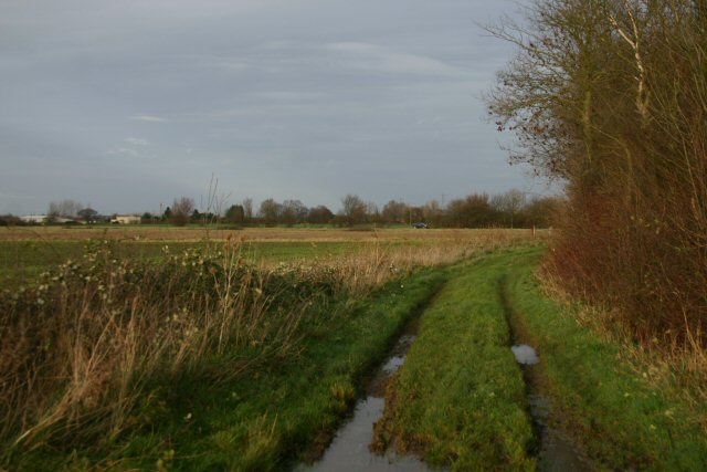
North Horse Fen is a picturesque nature reserve located in Cambridgeshire, England. Covering an area of approximately 200 acres, it is a diverse and unique combination of downs and moorland habitats. The reserve is renowned for its rich biodiversity and ecological importance.

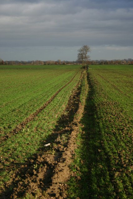
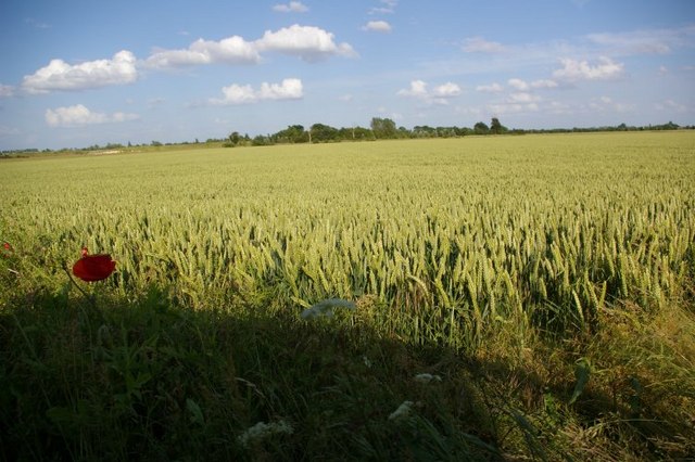
The downs of North Horse Fen are characterized by their gently rolling hills and open grasslands. These areas are home to a variety of plant species, including wildflowers such as harebell and bird's-foot trefoil. The downs also provide a vital habitat for a range of bird species, including skylarks and meadow pipits, which can be spotted soaring above the open landscape.

In contrast, the moorland areas of the reserve consist of damp, peaty soil and are characterized by their heather and moss-covered terrain. This habitat provides a suitable home for a variety of wildlife, including reptiles such as adders and slow worms, as well as small mammals like voles and shrews.

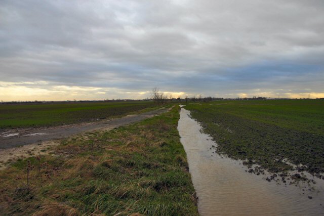
North Horse Fen is also home to several rare and protected species, including the fen raft spider and the great crested newt. These species thrive in the reserve's wetland areas, which consist of ponds and marshes that are fed by natural springs.

Visitors to North Horse Fen can enjoy a network of well-maintained footpaths that offer stunning views of the surrounding landscape. The reserve is also equipped with informative signage and observation points to enhance the visitor experience.

Overall, North Horse Fen is a haven for nature enthusiasts, offering a diverse range of habitats and a wealth of wildlife to explore and appreciate.

If you have any feedback on the listing, please let us know in the comments section below.

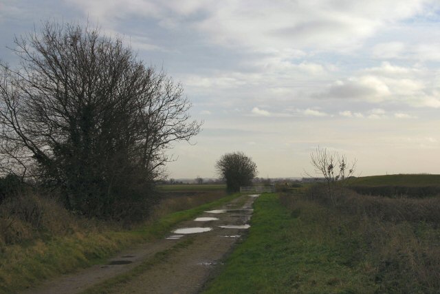
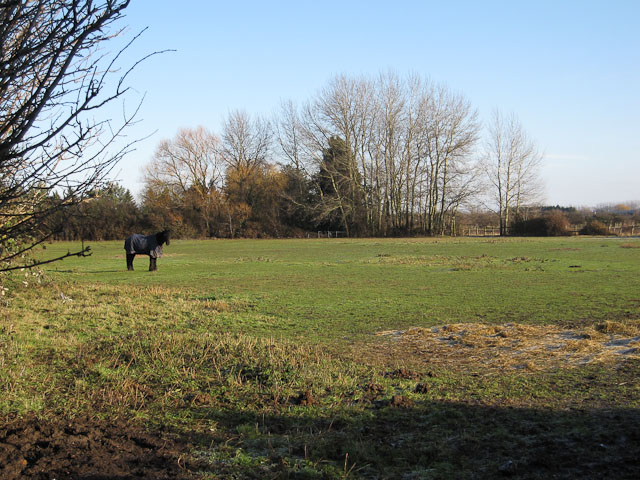
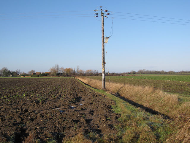
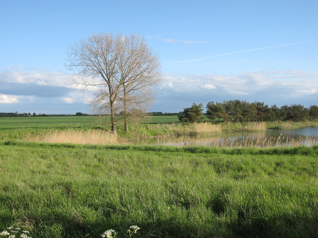
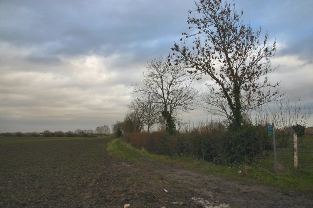
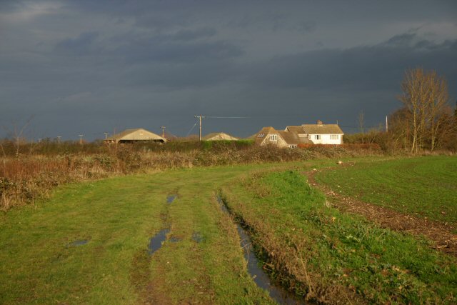
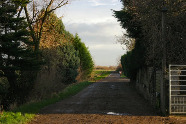
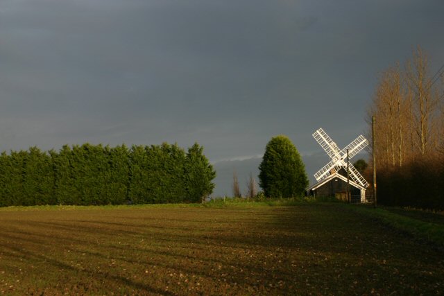
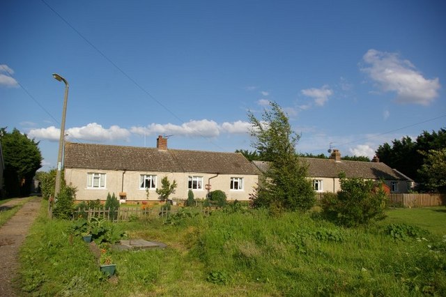
North Horse Fen Images

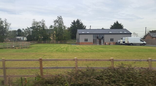
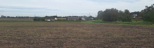
Images are sourced within 2km of 52.357461/0.32979205 or Grid Reference TL5875. Thanks to Geograph Open Source API. All images are credited.

Byway at Qua Fen Common This track leads (where?) runs parallel to the A142 Soham bypass, across low-lying wetlands.
Byway at Qua Fen Common
This track leads (where?) runs parallel to the A142 Soham bypass, across low-lying wetlands.
Bancroft Drove Byway leaving Long Dolver Drove.
Bancroft Drove
Byway leaving Long Dolver Drove.
Horse Paddock by Hasse Road
Ditch off Hasse Road
Fishing lake By Castles Farm.
Fishing lake
By Castles Farm.
IHP Cotes Farm, The Cotes, Soham, from the railway
House on The Cotes, Soham
Westcote, Blockmoor Road, from the railway
Lonely furrow and tree North Field, north of Soham.
Lonely furrow and tree
North Field, north of Soham.
Featureless flooded Fenland A byway across North Field, near Soham.
Featureless flooded Fenland
A byway across North Field, near Soham.
Soham Millennium Walk Part of the seven-mile green route which starts and finishes at St Andrew's Church. <span class="nowrap"><a title="http://soham.org/index.php/history/soham-history/89-soham-millennium-walks" rel="nofollow ugc noopener" href="http://soham.org/index.php/history/soham-history/89-soham-millennium-walks">Link</a><img style="margin-left:2px;" alt="External link" title="External link - shift click to open in new window" src="https://s1.geograph.org.uk/img/external.png" width="10" height="10"/></span>
Soham Millennium Walk
Part of the seven-mile green route which starts and finishes at St Andrew's Church. LinkExternal link
Horse Fen Drove Byway to Broad Hill.
Horse Fen Drove
Byway to Broad Hill.
Byway at Broad Hill Leading to Saxon Farm, north of Soham.
Byway at Broad Hill
Leading to Saxon Farm, north of Soham.
Mill Farm, Soham Northfield Windmill, also known as Townsend or The Shade Windmill, is situated at the north end of Soham. It was converted and moved to its present location in 1830 and is one of the smallest mills in Cambridgeshire. Originally it had four sails but for many years it was still working with only two sails. By 1964 the windmill had stood derelict for many years and in September of that year, one of the two remaining sails was blown off. In 1968 the remaining sail was removed. It has now been restored to its former glory, as a private project, by Mr Patrick Johnson and his family.
Mill Farm, Soham
Northfield Windmill, also known as Townsend or The Shade Windmill, is situated at the north end of Soham. It was converted and moved to its present location in 1830 and is one of the smallest mills in Cambridgeshire. Originally it had four sails but for many years it was still working with only two sails. By 1964 the windmill had stood derelict for many years and in September of that year, one of the two remaining sails was blown off. In 1968 the remaining sail was removed. It has now been restored to its former glory, as a private project, by Mr Patrick Johnson and his family.
Byway at Blockmoor Fen This byway leads from Soham Cotes to the A142 Ely to Soham road.
Byway at Blockmoor Fen
This byway leads from Soham Cotes to the A142 Ely to Soham road.
Row of houses
Row of houses
Poppy in wheatfield
Poppy in wheatfield
Barcham Farm
Barcham Farm
Show me another place!

North Horse Fen is located at Grid Ref: TL5875 (Lat: 52.357461, Lng: 0.32979205)

Administrative County: Cambridgeshire

District: East Cambridgeshire

Police Authority: Cambridgeshire

What 3 Words

///sock.snipe.unhelpful. Near Soham, Cambridgeshire

Related Wikis

Soham Town Rangers F.C.

Soham Town Rangers Football Club is an English football club based in Soham, Cambridgeshire. The club are currently members of the Eastern Counties League...

Leightonstone

Leightonstone was a hundred of Huntingdonshire mentioned in the Domesday Book of 1086. It took its name from the stone at Leighton Bromswold where the...

Delph Bridge Drain

Delph Bridge Drain is a 0.15-hectare (0.37-acre) biological Site of Special Scientific Interest north-west of Soham in Cambridgeshire.This site has the...

Soham rail disaster

The Soham rail disaster occurred on 2 June 1944, during the Second World War, when a fire developed on the leading wagon of a heavy ammunition train....

Nearby Amenities

Located within 500m of 52.357461,0.32979205
Power: pole
Lat/Long: 52.3587983/0.3272497
Power: pole
Lat/Long: 52.3597017/0.3313763
Power: pole
Lat/Long: 52.3594495/0.3302311
Power: pole
Lat/Long: 52.3590883/0.3285492
Power: pole
Lat/Long: 52.3605899/0.3329573
Power: pole
Lat/Long: 52.3599687/0.3326769
Power: pole
Lat/Long: 52.3582244/0.3247794
Power: pole
Lat/Long: 52.3593118/0.3251534
Power: pole
Lat/Long: 52.3600285/0.3239317
The data included in this document is from www.openstreetmap.org. The data is made available under ODbL.

Have you been to North Horse Fen?

Leave your review of North Horse Fen below (or comments, questions and feedback).