North Field
Downs, Moorland in Cambridgeshire East Cambridgeshire
England
North Field
North Field is a region located in the county of Cambridgeshire, England. It is characterized by its diverse landscape, featuring both downs and moorland areas. The field stretches over a substantial area, providing a variety of habitats for various flora and fauna.
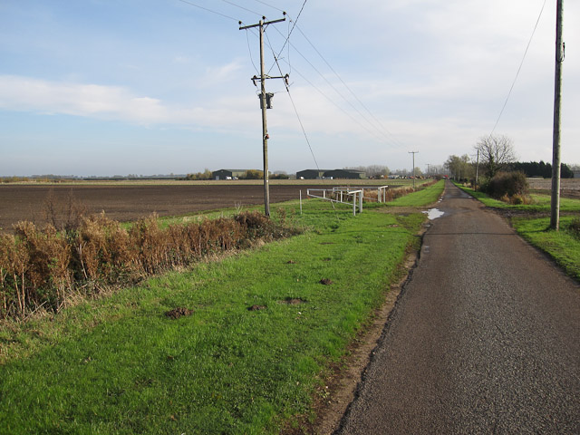
The downs of North Field are characterized by their rolling hills and wide open spaces. These areas are covered by a mixture of grasses and low-lying shrubs, creating a visually appealing landscape. The downs offer panoramic views of the surrounding countryside, making it a popular spot for outdoor activities such as hiking and picnicking.
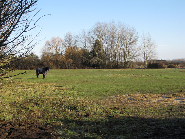
In contrast, the moorland in North Field provides a different environment. It is characterized by its wetter and more marshy terrain, with patches of heather and moss covering the ground. This unique habitat attracts a range of bird species, making it a haven for birdwatchers and nature enthusiasts.
North Field is also home to a variety of wildlife, including rabbits, foxes, and various bird species. The diverse landscape and abundance of natural resources provide a suitable environment for these animals to thrive.
The region's unique blend of downs and moorland, combined with its rich wildlife, makes North Field an attractive destination for nature lovers and those seeking outdoor recreational activities. Whether exploring the rolling hills or observing the birdlife in the moorland, visitors to North Field can expect to experience the beauty and tranquility of this captivating Cambridgeshire landscape.
If you have any feedback on the listing, please let us know in the comments section below.
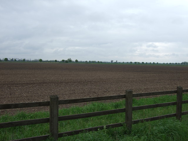
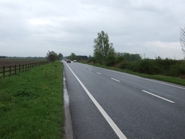
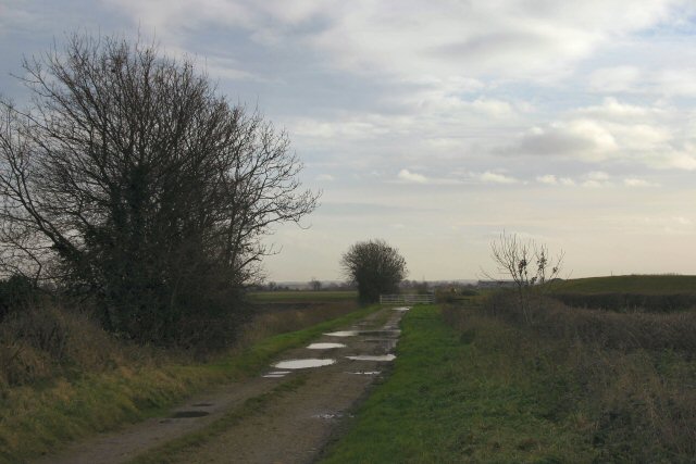
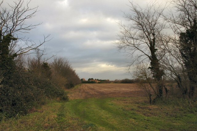
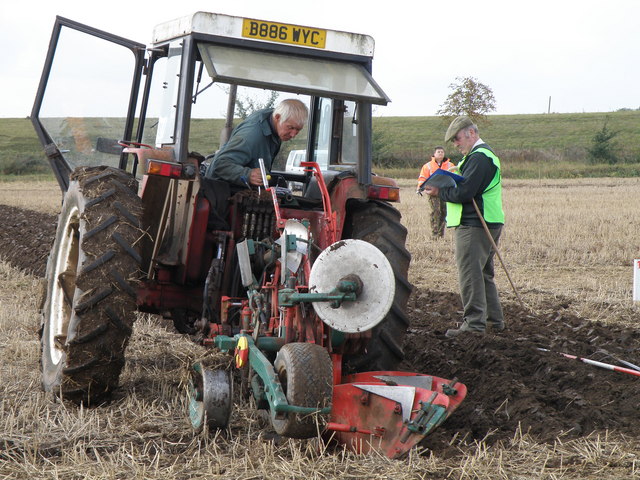
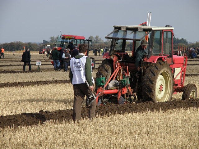
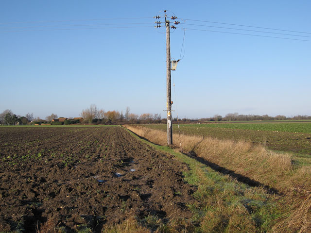
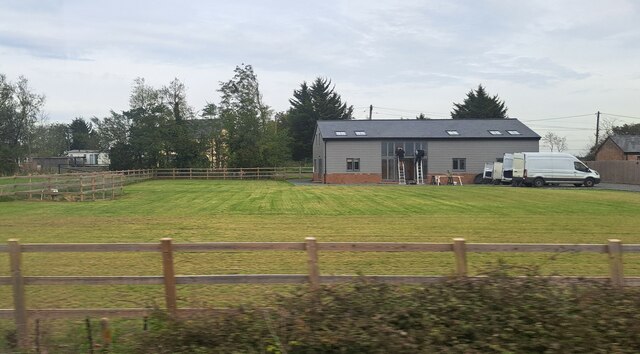
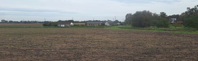
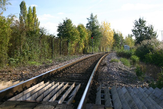
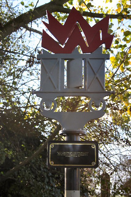
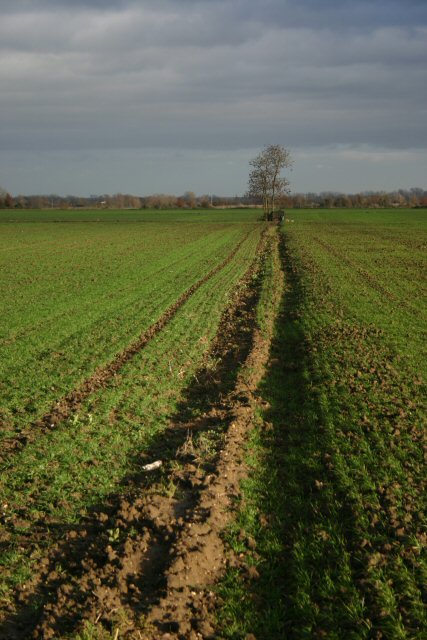
North Field Images
Images are sourced within 2km of 52.354318/0.33185888 or Grid Reference TL5875. Thanks to Geograph Open Source API. All images are credited.


North Field is located at Grid Ref: TL5875 (Lat: 52.354318, Lng: 0.33185888)
Administrative County: Cambridgeshire
District: East Cambridgeshire
Police Authority: Cambridgeshire
What 3 Words
///harvest.harmlessly.splint. Near Soham, Cambridgeshire
Nearby Locations
Related Wikis

Soham Town Rangers F.C.
Soham Town Rangers Football Club is an English football club based in Soham, Cambridgeshire. The club are currently members of the Eastern Counties League...

Leightonstone
Leightonstone was a hundred of Huntingdonshire mentioned in the Domesday Book of 1086. It took its name from the stone at Leighton Bromswold where the...

Soham rail disaster
The Soham rail disaster occurred on 2 June 1944, during the Second World War, when a fire developed on the leading wagon of a heavy ammunition train....
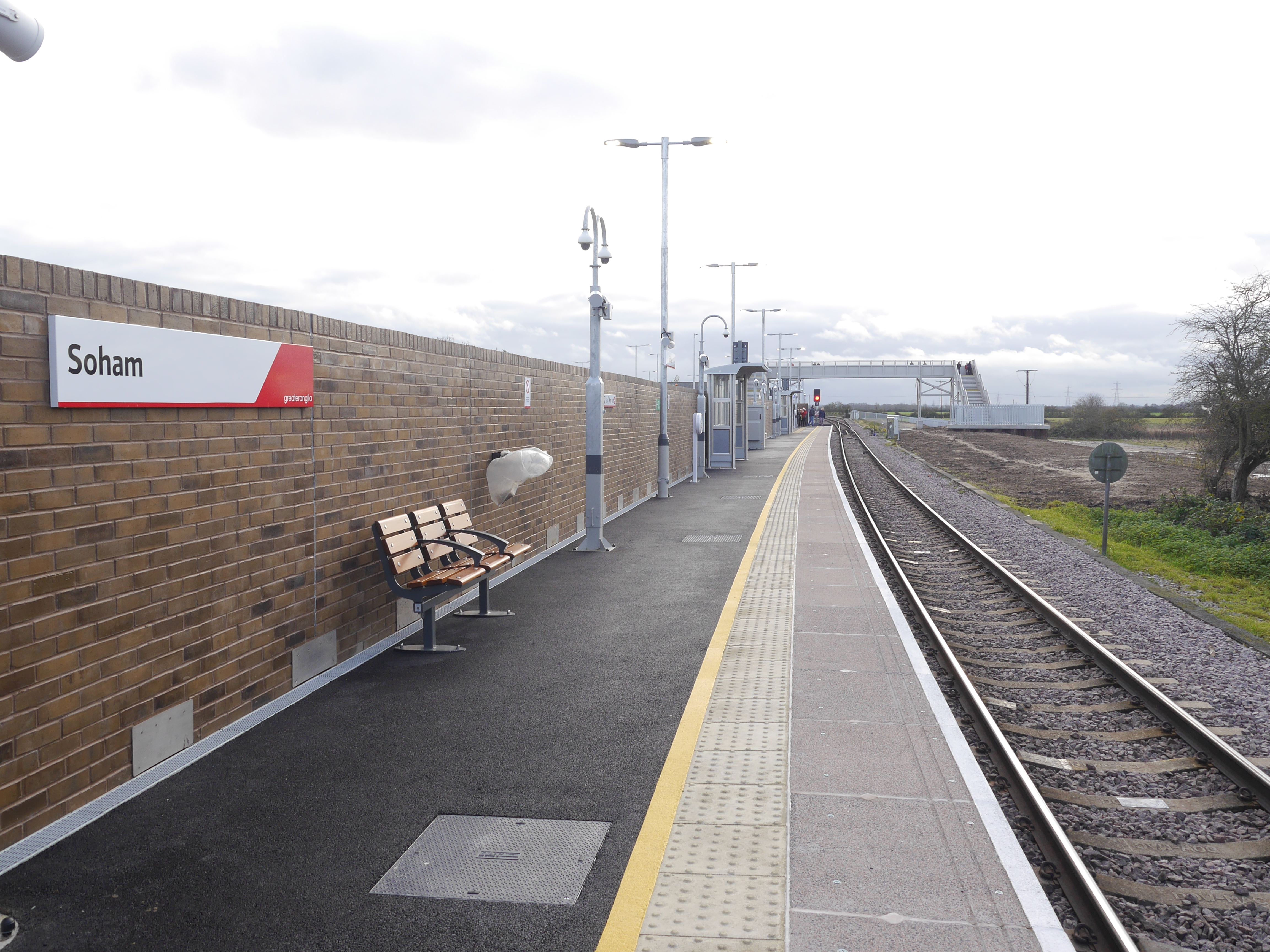
Soham railway station
Soham railway station is a station on the Ipswich–Ely line, serving the town of Soham in Cambridgeshire. The original station operated between 1879 and...
Nearby Amenities
Located within 500m of 52.354318,0.33185888Have you been to North Field?
Leave your review of North Field below (or comments, questions and feedback).