Soham
Civil Parish in Cambridgeshire East Cambridgeshire
England
Soham
Soham is a civil parish located in the county of Cambridgeshire, England. It is situated about 6 miles northeast of Ely and approximately 20 miles north of Cambridge. The parish covers an area of approximately 6 square miles and has a population of around 11,500 people.
The town has a rich history, with evidence of human presence in the area dating back to the Neolithic period. Soham was mentioned in the Domesday Book of 1086 as "Soham" and has since been an important agricultural and trading center in the region.
The town is well-served by transportation links, with the A142 road passing through it, providing easy access to nearby towns and cities. Soham railway station, located on the Cambridge to Ely line, offers train services to various destinations.
Soham is known for its beautiful countryside and charming rural setting. The town has a range of amenities and facilities, including shops, schools, healthcare services, and recreational spaces. It is home to several historic buildings, such as St. Andrew's Church, which dates back to the 12th century.
The town boasts a strong sense of community, with various local events and festivals taking place throughout the year. Soham also has a thriving sports scene, with numerous clubs and facilities catering to different interests, including football, cricket, and rugby.
Overall, Soham is a picturesque and vibrant civil parish that offers a blend of history, natural beauty, and modern-day conveniences.
If you have any feedback on the listing, please let us know in the comments section below.
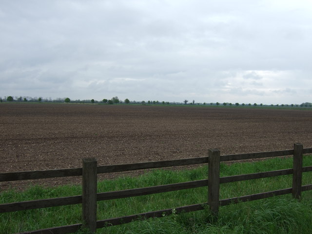
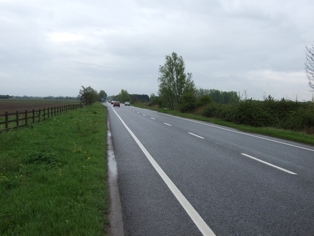
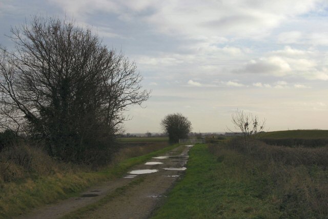
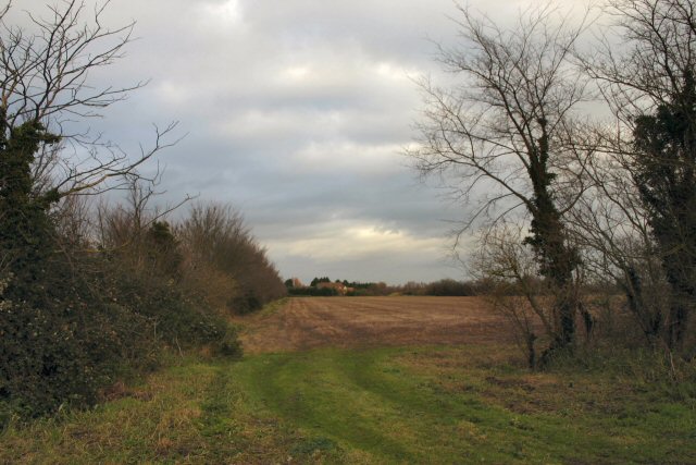
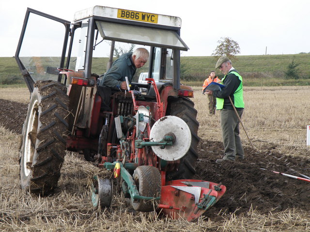
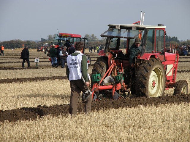
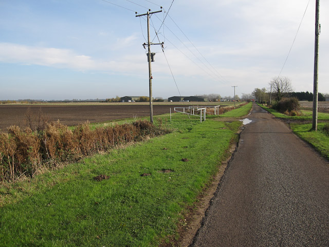
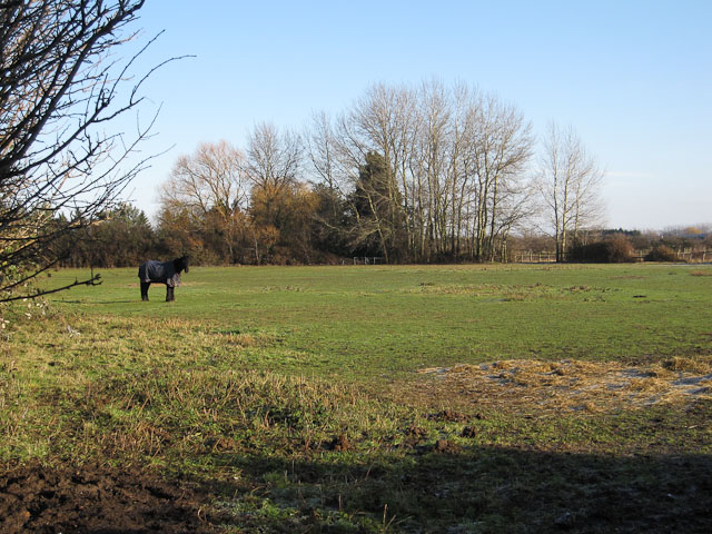
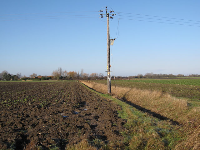
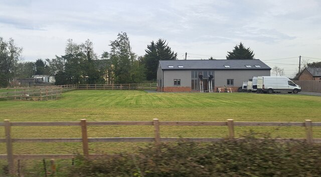
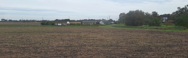
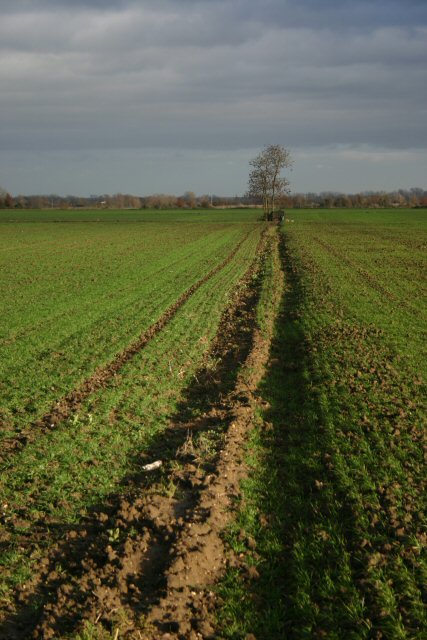
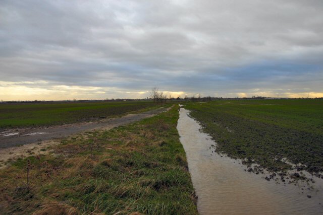
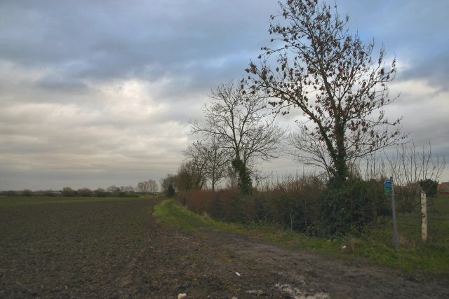
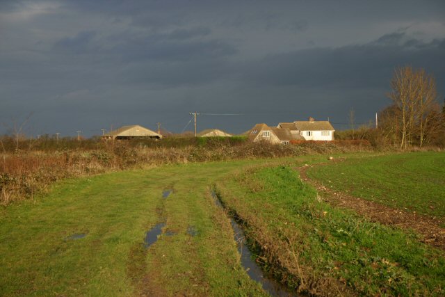
Soham Images
Images are sourced within 2km of 52.355879/0.332021 or Grid Reference TL5875. Thanks to Geograph Open Source API. All images are credited.


Soham is located at Grid Ref: TL5875 (Lat: 52.355879, Lng: 0.332021)
Administrative County: Cambridgeshire
District: East Cambridgeshire
Police Authority: Cambridgeshire
What 3 Words
///obscuring.observers.headed. Near Soham, Cambridgeshire
Nearby Locations
Related Wikis

Soham Town Rangers F.C.
Soham Town Rangers Football Club is an English football club based in Soham, Cambridgeshire. The club are currently members of the Eastern Counties League...

Leightonstone
Leightonstone was a hundred of Huntingdonshire mentioned in the Domesday Book of 1086. It took its name from the stone at Leighton Bromswold where the...

Soham rail disaster
The Soham rail disaster occurred on 2 June 1944, during the Second World War, when a fire developed on the leading wagon of a heavy ammunition train....
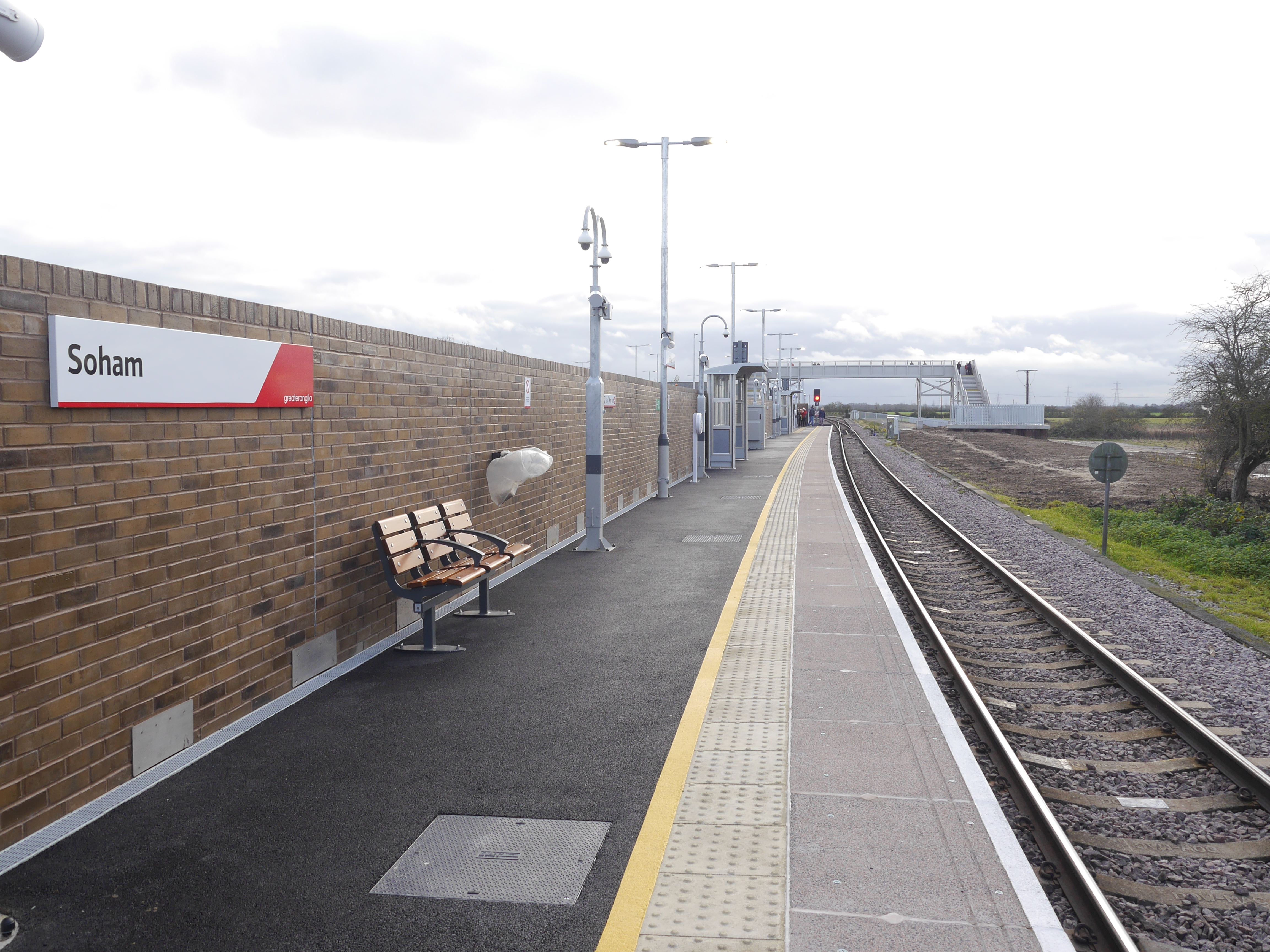
Soham railway station
Soham railway station is a station on the Ipswich–Ely line, serving the town of Soham in Cambridgeshire. The original station operated between 1879 and...

Soham
Soham ( SOH-əm) is a town and civil parish in the district of East Cambridgeshire, in Cambridgeshire, England, just off the A142 between Ely and Newmarket...

Delph Bridge Drain
Delph Bridge Drain is a 0.15-hectare (0.37-acre) biological Site of Special Scientific Interest north-west of Soham in Cambridgeshire.This site has the...
Soham Abbey
Soham Abbey was an Anglo-Saxon monastery in Soham, which at the time was in the Kingdom of East Anglia. Constructed by St Felix of Burgundy during the...

Soham Village College
Soham Village College is a secondary school with academy status located in Soham, Cambridgeshire, England. It has around 1,400 pupils, aged 11 to 16. Although...
Nearby Amenities
Located within 500m of 52.355879,0.332021Have you been to Soham?
Leave your review of Soham below (or comments, questions and feedback).