Sodbury

Civil Parish in Gloucestershire

England

Sodbury

The Dog Inn The Dog Inn on the A432 in the village of Old Sodbury.
The Dog Inn Credit: Philip Halling

Sodbury is a civil parish located in the county of Gloucestershire, England. It is situated approximately 10 miles northeast of the city of Bristol and 20 miles southwest of the city of Gloucester. The parish covers an area of around 5 square miles and is home to a population of about 6,000 residents.

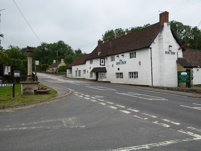
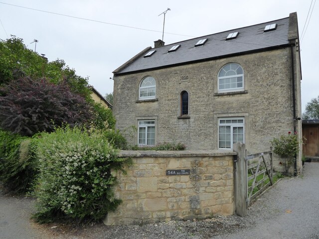
The parish is divided into two main areas, Old Sodbury and Chipping Sodbury. Old Sodbury is a small village with a rich history dating back to the Roman times, evident from the remains of a Roman villa found in the area. The village is known for its picturesque cottages, quaint streets, and the 14th-century St. John the Baptist Church.

On the other hand, Chipping Sodbury is a bustling market town that grew around a medieval market square. It offers a range of amenities, including shops, cafes, restaurants, and pubs. The town is also known for its annual Chipping Sodbury Festival, which features a variety of events and activities for locals and visitors to enjoy.

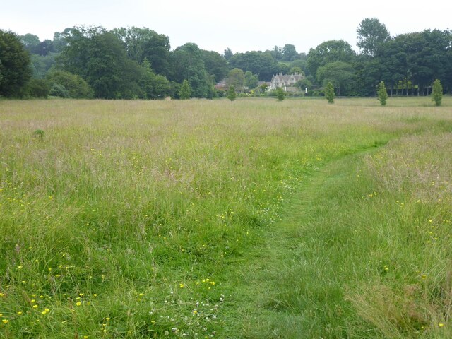
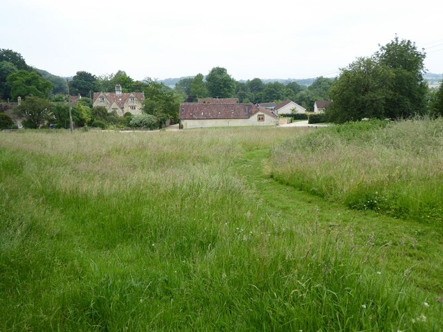
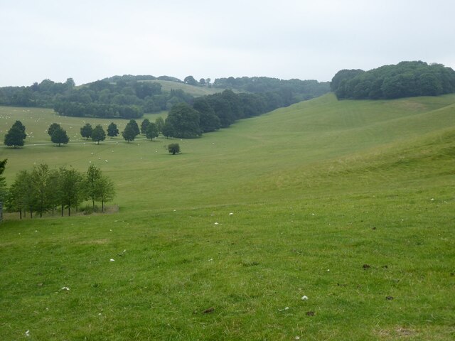
Sodbury is surrounded by beautiful countryside, making it an ideal location for outdoor activities such as walking, cycling, and horse riding. The Cotswold Way, a popular long-distance footpath, passes through the parish, offering stunning views of the surrounding landscapes.

Overall, Sodbury, Gloucestershire, is a charming civil parish that combines historical charm with modern amenities, providing its residents with a high quality of life and attracting visitors from near and far.

If you have any feedback on the listing, please let us know in the comments section below.
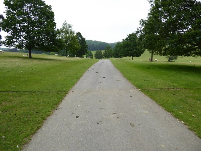
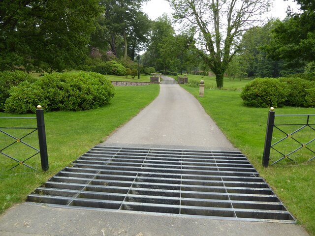
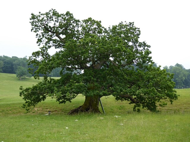
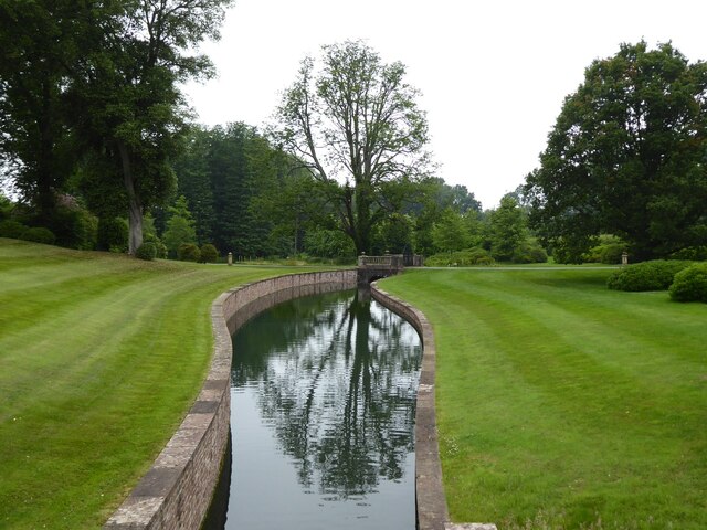
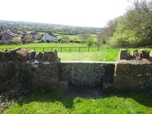
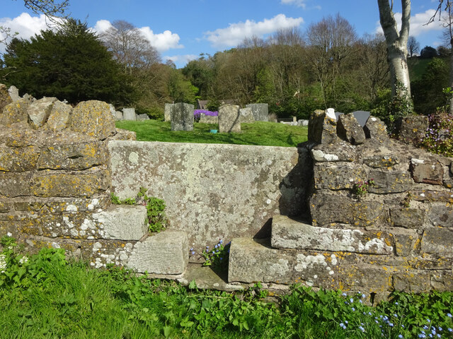
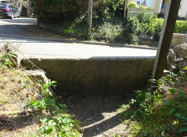
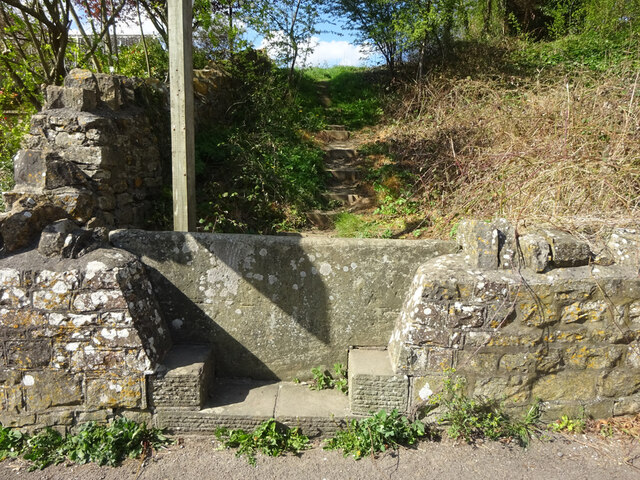
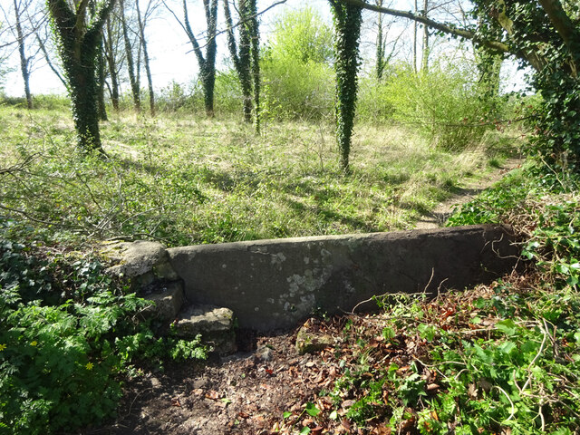
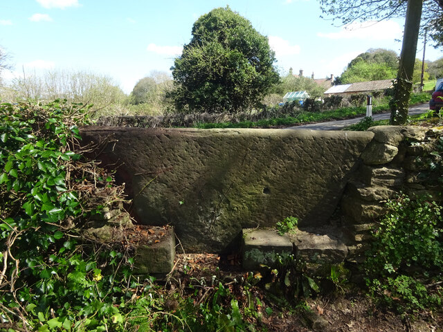
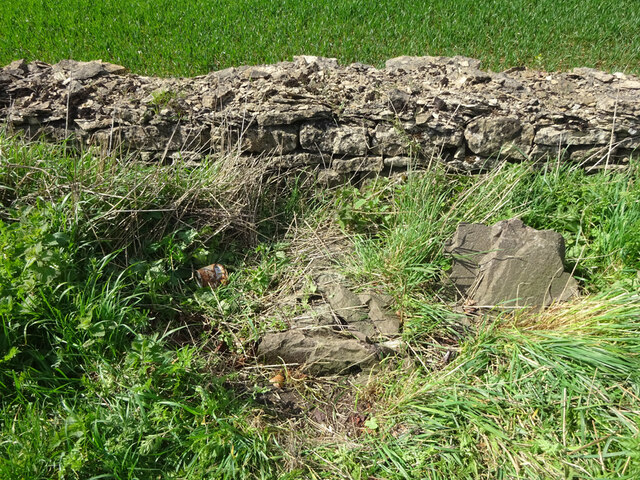
Sodbury Images

Images are sourced within 2km of 51.532176/-2.35652 or Grid Reference ST7581. Thanks to Geograph Open Source API. All images are credited.

The Dog Inn The Dog Inn on the A432 in the village of Old Sodbury.
The Dog Inn
The Dog Inn on the A432 in the village of Old Sodbury.
The Old Chapel A converted chapel with a date of 1835 on the front.
The Old Chapel
A converted chapel with a date of 1835 on the front.
The Cotswold Way The Cotswold Way crossing a field to the south of Old Sodbury.
The Cotswold Way
The Cotswold Way crossing a field to the south of Old Sodbury.
Coomb's End Grassland viewed from the Cotswold Way passing through Coomb's End.
Coomb's End
Grassland viewed from the Cotswold Way passing through Coomb's End.
Drive through parkland at Dodington The parkland at Dodington was landscaped by 'Capability' Brown ion 1764.
Drive through parkland at Dodington
The parkland at Dodington was landscaped by 'Capability' Brown ion 1764.
Entrance at Dodington Entrance at Dodington viewed from the Cotswold Way long distance footpath with passes through the parkland.
Entrance at Dodington
Entrance at Dodington viewed from the Cotswold Way long distance footpath with passes through the parkland.
Oak tree Oak tree in Dodington Park.
Oak tree
Oak tree in Dodington Park.
Water channel Water channel in Dodington Park viewed from the Cotswold Way.
Water channel
Water channel in Dodington Park viewed from the Cotswold Way.
Parkland at Dodington The parkland at Dodington was landscaped by 'Capability' Brown in 1764.  Here it was viewed from the Cotswold Way.
Parkland at Dodington
The parkland at Dodington was landscaped by 'Capability' Brown in 1764. Here it was viewed from the Cotswold Way.
Stone Stile, Old Sodbury Between the graveyard and the field with memorials for cremated ashes, on Gloucestershire footpath LSO/53. This view is from the graveyard, the view towards the graveyard is <a href="https://www.geograph.org.uk/photo/7148135">ST7581 : Stone Stile, Old Sodbury</a>.
Stone Stile, Old Sodbury
Between the graveyard and the field with memorials for cremated ashes, on Gloucestershire footpath LSO/53. This view is from the graveyard, the view towards the graveyard is ST7581 : Stone Stile, Old Sodbury.
Stone Stile, Old Sodbury Between the graveyard and the field with memorials for cremated ashes, on Gloucestershire footpath LSO/53. This view is toward the graveyard, the view from the graveyard is <a href="https://www.geograph.org.uk/photo/7148132">ST7581 : Stone Stile, Old Sodbury</a>.
Stone Stile, Old Sodbury
Between the graveyard and the field with memorials for cremated ashes, on Gloucestershire footpath LSO/53. This view is toward the graveyard, the view from the graveyard is ST7581 : Stone Stile, Old Sodbury.
Stone Stile, Old Sodbury Looking towards Cotswold Lane, on Gloucestershire footpath LSO/53. The view Looking from the road is <a href="https://www.geograph.org.uk/photo/7148145">ST7581 : Stone Stile, Old Sodbury</a>.
Stone Stile, Old Sodbury
Looking towards Cotswold Lane, on Gloucestershire footpath LSO/53. The view Looking from the road is ST7581 : Stone Stile, Old Sodbury.
Stone Stile, Old Sodbury Looking from Cotswold Lane, on Gloucestershire footpath LSO/53. The view Looking to the road is <a href="https://www.geograph.org.uk/photo/7148144">ST7581 : Stone Stile, Old Sodbury</a>.
Stone Stile, Old Sodbury
Looking from Cotswold Lane, on Gloucestershire footpath LSO/53. The view Looking to the road is ST7581 : Stone Stile, Old Sodbury.
Stone Stile, Little Sodbury Opposite the church, on Gloucestershire footpath LSL/6. Looking from the road, the view looking from the copse is <a href="https://www.geograph.org.uk/photo/7148151">ST7583 : Stone Stile, Little Sodbury</a>.
Stone Stile, Little Sodbury
Opposite the church, on Gloucestershire footpath LSL/6. Looking from the road, the view looking from the copse is ST7583 : Stone Stile, Little Sodbury.
Stone Stile, Little Sodbury Opposite the church, on Gloucestershire footpath LSL/6. Looking from the road, the view looking from the copse is <a href="https://www.geograph.org.uk/photo/7148149">ST7583 : Stone Stile, Little Sodbury</a>.
Stone Stile, Little Sodbury
Opposite the church, on Gloucestershire footpath LSL/6. Looking from the road, the view looking from the copse is ST7583 : Stone Stile, Little Sodbury.
Old Milestone, Little Sodbury The remnants of a milestone on the A46. As recently as 2015 this was about 9 inches taller. The loose pieces can be seen, probably left after damage from the mowing of the verge. Originally the stone bore a rivet benchmark representing 179.4 m ASL.

Inscription (was probably): XXI, / To CIRENCESTER. / XI, / To TETBURY. / XII, / To BATH

Milestone Society National ID: GL_CIBA21 (tbc)
Old Milestone, Little Sodbury
The remnants of a milestone on the A46. As recently as 2015 this was about 9 inches taller. The loose pieces can be seen, probably left after damage from the mowing of the verge. Originally the stone bore a rivet benchmark representing 179.4 m ASL. Inscription (was probably): XXI, / To CIRENCESTER. / XI, / To TETBURY. / XII, / To BATH Milestone Society National ID: GL_CIBA21 (tbc)
Old Milestone, B4040, Old Sodbury On the North side of B4040, ¼ of a mile East of the A46, heading towards Castle Combe. Recently impacted probably by the mower. The head of the rivet Benchmark was affected by this. BM representing 182.3 m ASL.
Earlier views see <a title="https://www.geograph.org.uk/photo/5678970" href="https://www.geograph.org.uk/photo/5678970">Link</a> & <a title="https://www.geograph.org.uk/photo/5678963" href="https://www.geograph.org.uk/photo/5678963">Link</a> & <a title="https://www.geograph.org.uk/photo/5678978" href="https://www.geograph.org.uk/photo/5678978">Link</a>

Inscription (was): Chipping Sodbury 3 / Chippenham 12

Milestone Society National ID: GL_SYCP03
Old Milestone, B4040, Old Sodbury
On the North side of B4040, ¼ of a mile East of the A46, heading towards Castle Combe. Recently impacted probably by the mower. The head of the rivet Benchmark was affected by this. BM representing 182.3 m ASL. Earlier views see Link & Link & Link Inscription (was): Chipping Sodbury 3 / Chippenham 12 Milestone Society National ID: GL_SYCP03
Stone Stile, Dodington Near Combe's End, in Dodington Park, where Gloucestershire footpaths LSO/68 & LDO/13 meet. This is looking South, the view North is <a href="https://www.geograph.org.uk/photo/7206819">ST7580 : Stone Stile, Dodington</a>.
Stone Stile, Dodington
Near Combe's End, in Dodington Park, where Gloucestershire footpaths LSO/68 & LDO/13 meet. This is looking South, the view North is ST7580 : Stone Stile, Dodington.
Show me another place!

Sodbury is located at Grid Ref: ST7581 (Lat: 51.532176, Lng: -2.35652)

Unitary Authority: South Gloucestershire

Police Authority: Avon and Somerset

What 3 Words

///term.regard.mouth. Near Chipping Sodbury, Gloucestershire

Related Wikis

Old Sodbury

Old Sodbury is a small village and former civil parish in the valley of the River Frome just below and to the west of the Cotswold escarpment and to the...

Little Sodbury Manor

Little Sodbury Manor is a 15th-century manor house in Little Sodbury, Gloucestershire, England. It is a Grade I listed building. == History == The lords...

Chipping Sodbury railway station

Chipping Sodbury railway station was a railway station on the South Wales Main Line serving the town of Chipping Sodbury in Gloucestershire. The station...

Dodington, Gloucestershire

Dodington is a village and civil parish in South Gloucestershire, England. The village lies in a small, fertile valley between Codrington and Old Sodbury...

Little Sodbury

Little Sodbury is a village and former civil parish, now in the parish of Horton, in the South Gloucestershire district, in the ceremonial county of Gloucestershire...

Dodington Park

Dodington Park is a country house and estate in Dodington, South Gloucestershire, England. The house was built by James Wyatt for Christopher Bethell Codrington...

Chipping Sodbury Town Hall

Chipping Sodbury Town Hall is a municipal building in Broad Street, Chipping Sodbury, Gloucestershire, England. The building, which is used as an events...

Chipping Sodbury School

Chipping Sodbury School is a coeducational secondary school and sixth form, located in Chipping Sodbury in the Unitary authority of South Gloucestershire...

Nearby Amenities

Located within 500m of 51.532176,-2.35652
Old Sodbury
Is In: South Gloucestershire, England, UK
Place: village
Wikidata: Q776711
Lat/Long: 51.532571/-2.3538046
Traffic Calming: island
Lat/Long: 51.5318377/-2.3555425
Shop: yes
Lat/Long: 51.5325134/-2.3603415
Barrier: kissing_gate
Lat/Long: 51.534681/-2.3519781
Post Box
Post Box Type: lamp
Postal Code: BS37
Ref: BS37 205
Royal Cypher: EIIR
Royal Cypher Wikidata: Q33102113
Lat/Long: 51.5312419/-2.3529489
Post Box
Mapillary: 778941316346858
Post Box Mounting: building
Post Box Type: wall
Postal Code: BS37
Ref: BS37 1017
Survey Date: 2020-02-14
Lat/Long: 51.5325549/-2.3602414
Bus Stop
Old Sodbury Post Office
Bus: yes
Naptan AtcoCode: 0170SGB20813
Naptan Bearing: E
Naptan CommonName: Old Sodbury Post Office
Naptan Crossing: Commonmead Lane
Naptan NaptanCode: sglpamg
Naptan Street: Badminton Road
Naptan Verified: no
Public Transport: platform
Shelter: no
Source: naptan_import
Lat/Long: 51.5327723/-2.3616925
Bus Stop
Old Sodbury Post Office
Bus: yes
Naptan AtcoCode: 0170SGB20814
Naptan Bearing: W
Naptan CommonName: Old Sodbury Post Office
Naptan Crossing: Commonmead Lane
Naptan NaptanCode: sglpamt
Naptan Street: Badminton Road
Naptan Verified: no
Public Transport: platform
Shelter: no
Source: naptan_import
Lat/Long: 51.5325916/-2.3606549
Bus Stop
The Dog Inn
Bus: yes
Naptan AtcoCode: 0170SGB20815
Naptan Bearing: SW
Naptan CommonName: The Dog Inn
Naptan Crossing: Chapel Lane
Naptan NaptanCode: sglpapg
Naptan Street: Cotswold Lane
Naptan Verified: no
Public Transport: platform
Source: naptan_import
Lat/Long: 51.5321841/-2.3568911
Bus Stop
The Dog Inn
Bus: yes
Departures Board: timetable
Naptan AtcoCode: 0170SGB20816
Naptan Bearing: N
Naptan CommonName: The Dog Inn
Naptan Crossing: Badminton Road
Naptan NaptanCode: sglpapd
Naptan Street: Chapel Lane
Naptan Verified: no
Public Transport: platform
Shelter: yes
Source: naptan_import
Lat/Long: 51.5321739/-2.3574472
Bus Stop
Camers
Naptan AtcoCode: 0170SGB20817
Naptan Bearing: S
Naptan CommonName: Camers
Naptan Crossing: Hill Lane
Naptan NaptanCode: sglpapw
Naptan Street: Badminton Road
Naptan Verified: no
Source: naptan_import
Lat/Long: 51.5287411/-2.3525491
Man Made: chimney
Note: tunnel ventilation shaft - looks like a miniature castle turret
Source: Bing
Wikidata: Q26676107
Lat/Long: 51.5313061/-2.3498362
HE Ref: 1409630
Heritage Operator: he
Listed Status: Grade II
Man Made: chimney
Note: tunnel ventilation shaft - looks like a miniature castle turret
Source: Bing
Source Ref: https://historicengland.org.uk/listing/the-list/list-entry/1409630
Wikidata: Q26676107
Lat/Long: 51.5313399/-2.3498338
Cabinet 21 - Chipping Sodbury Exchange
Note: FTTC Enabled
Lat/Long: 51.5312981/-2.3530146
Barrier: kissing_gate
Foot: designated
Motor Vehicle: no
Lat/Long: 51.5304273/-2.360693
Barrier: stile
Foot: designated
Motor Vehicle: no
Lat/Long: 51.530496/-2.3613559
Barrier: stile
Foot: designated
Motor Vehicle: no
Lat/Long: 51.5303477/-2.3613487
Public Bookcase
Defibrillator
Booth: K6
Defibrillator Location: inside red phone box (that is now used as book exchange), Badminton Road, Old Sodbury - next to Dog Inn
Disused Amenity: telephone
Emergency: defibrillator
Man Made: telephone_box
Public Bookcase Type: phone_box
Lat/Long: 51.5321142/-2.3571947
Barrier: kissing_gate
Lat/Long: 51.5289724/-2.3588197
Access: foot
Barrier: kissing_gate
Lat/Long: 51.5342387/-2.3560597
Tourism: viewpoint
Lat/Long: 51.5345549/-2.3540785
Barrier: kissing_gate
Lat/Long: 51.5345029/-2.3540358
Barrier: yes
Lat/Long: 51.5325357/-2.3607392
Operator: Network Rail
Railway: signal
Railway Signal Direction: forward
Railway Signal Main: GB-NR:main
Railway Signal Main Design: combined
Railway Signal Main Form: light
Railway Signal Main States: red;green;
Railway Signal Position: left
Lat/Long: 51.5316477/-2.358386
Power: pole
Lat/Long: 51.5363154/-2.3573566
Power: pole
Lat/Long: 51.5360301/-2.3553181
Power: pole
Lat/Long: 51.5357795/-2.3535861
Communication Mobile Phone: yes
Man Made: mast
Tower Type: communication
Lat/Long: 51.5302108/-2.350312
Communication Mobile Phone: yes
Man Made: mast
Tower Type: communication
Lat/Long: 51.5303781/-2.3508992
David James & Partners
Addr City: Old Sodbury
Addr Housename: Hartley House
Addr Postcode: BS37 6LX
Addr Street: Badminton Road
Email: sodbury@djandp.co.uk
Fax: +44 1454 320155
Office: estate_agent
Phone: +44 1454 320144
Website: https://www.djandp.co.uk/
Wikidata: Q26684573
Lat/Long: 51.5328807/-2.3621035
Power: pole
Lat/Long: 51.5332067/-2.3624576
Bench
Lat/Long: 51.5327925/-2.3616424
Waste Basket
Lat/Long: 51.5327897/-2.3616085
Power: pole
Lat/Long: 51.5326067/-2.3608601
Power: pole
Lat/Long: 51.5325277/-2.3601566
Power: pole
Lat/Long: 51.5323983/-2.3585816
Power: pole
Lat/Long: 51.5324584/-2.3592762
Waste Basket
Lat/Long: 51.5324576/-2.3592481
Traffic Calming: island
Lat/Long: 51.5324564/-2.3586997
Power: pole
Lat/Long: 51.5322865/-2.3578775
Power: pole
Lat/Long: 51.5321479/-2.3571516
Waste Basket
Lat/Long: 51.5321943/-2.3574676
Shipp Engineering Ltd.
Craft: metal_construction
Phone: +44 1454 313019
Lat/Long: 51.5318324/-2.3580104
Power: pole
Lat/Long: 51.5295836/-2.3586466
Power: pole
Lat/Long: 51.5297164/-2.3587015
Power: pole
Lat/Long: 51.5304201/-2.3581679
Power: pole
Lat/Long: 51.5300458/-2.3584744
Power: pole
Lat/Long: 51.5292048/-2.3590444
Power: pole
Lat/Long: 51.5290271/-2.3591248
Power: pole
Lat/Long: 51.5286274/-2.3592268
Power: pole
Lat/Long: 51.5283688/-2.3593045
Power: pole
Lat/Long: 51.5322461/-2.3570217
Power: pole
Lat/Long: 51.532433/-2.3568122
Power: pole
Lat/Long: 51.5324449/-2.3569601
Bench
Lat/Long: 51.5322705/-2.3569061
Waste Basket
Lat/Long: 51.5322418/-2.3569185
Advertising: board
Operator: Sodbury Town Council
Support: poles
Lat/Long: 51.5322331/-2.3569123
Advertising: board
Support: poles
Lat/Long: 51.5322178/-2.35691
Power: pole
Lat/Long: 51.5319893/-2.3564933
Power: pole
Lat/Long: 51.5317525/-2.3575116
Power: pole
Lat/Long: 51.5313783/-2.3576987
Power: pole
Lat/Long: 51.5308336/-2.357847
Power: pole
Lat/Long: 51.53178/-2.3556042
Power: pole
Lat/Long: 51.5326481/-2.3563883
Power: pole
Lat/Long: 51.5329643/-2.35577
Power: pole
Lat/Long: 51.5332363/-2.3549774
Power: pole
Lat/Long: 51.5333272/-2.354449
Power: pole
Lat/Long: 51.5334782/-2.3538858
Grit Bin
Colour: yellow
Material: plastic
Lat/Long: 51.533243/-2.3549658
Waste Basket
Lat/Long: 51.5342359/-2.3526458
Power: pole
Lat/Long: 51.5338577/-2.3530838
Power: pole
Lat/Long: 51.5342661/-2.352721
Power: pole
Lat/Long: 51.5338368/-2.3525149
Power: pole
Lat/Long: 51.5332829/-2.3523143
Power: pole
Lat/Long: 51.5329567/-2.3522055
Power: pole
Lat/Long: 51.5315702/-2.352602
Power: pole
Lat/Long: 51.5320425/-2.3523774
Power: pole
Lat/Long: 51.5324951/-2.352166
Power: pole
Lat/Long: 51.5310673/-2.3529039
Bench
Backrest: yes
Material: wood
Lat/Long: 51.5325198/-2.3521672
Advertising: board
Support: poles
Lat/Long: 51.5341976/-2.3528564
Power: pole
Lat/Long: 51.5297048/-2.3573117
Power: pole
Lat/Long: 51.5298311/-2.3559674
Power: pole
Lat/Long: 51.5304371/-2.3552838
Power: pole
Lat/Long: 51.5309088/-2.3547533
Power: pole
Lat/Long: 51.5303166/-2.3532752
Power: pole
Lat/Long: 51.5306207/-2.3531994
Power: pole
Lat/Long: 51.5308648/-2.3534862
Power: pole
Lat/Long: 51.5308878/-2.3540023
Power: pole
Lat/Long: 51.5305207/-2.3526189
Barrier: kissing_gate
Lat/Long: 51.5337105/-2.3544802
Barrier: stile
Material: stone
Stile: wall
Lat/Long: 51.5333942/-2.3544719
Barrier: kissing_gate
Material: metal
Lat/Long: 51.5293477/-2.3533809
Power: pole
Lat/Long: 51.5312837/-2.3570421
Power: pole
Lat/Long: 51.5312303/-2.3557198
Direction: 190
Generator Method: photovoltaic
Generator Output Electricity: yes
Generator Solar Modules: 16
Generator Source: solar
Generator Type: solar_photovoltaic_panel
Location: roof
Power: generator
Lat/Long: 51.53246/-2.3575733
Direction: 220
Generator Method: photovoltaic
Generator Output Electricity: yes
Generator Solar Modules: 3
Generator Source: solar
Generator Type: solar_photovoltaic_panel
Location: roof
Power: generator
Lat/Long: 51.5323913/-2.3566083
Direction: 140
Generator Method: photovoltaic
Generator Output Electricity: yes
Generator Solar Modules: 10
Generator Source: solar
Generator Type: solar_photovoltaic_panel
Location: roof
Power: generator
Lat/Long: 51.5323941/-2.3566605
Direction: 170
Generator Method: photovoltaic
Generator Output Electricity: yes
Generator Solar Modules: 10
Generator Source: solar
Generator Type: solar_photovoltaic_panel
Location: roof
Power: generator
Lat/Long: 51.5328435/-2.3556458
Direction: 255
Generator Method: photovoltaic
Generator Output Electricity: yes
Generator Solar Modules: 6
Generator Source: solar
Generator Type: solar_photovoltaic_panel
Location: roof
Power: generator
Lat/Long: 51.532821/-2.3555955
Direction: 260
Generator Method: photovoltaic
Generator Output Electricity: yes
Generator Source: solar
Generator Type: solar_photovoltaic_panel
Location: roof
Power: generator
Lat/Long: 51.5333296/-2.3525538
Barrier: stile
Stile: stepover
Lat/Long: 51.5290753/-2.3519808
Give Way
Direction: backward
Lat/Long: 51.5322267/-2.3571521
Give Way
Direction: backward
Lat/Long: 51.5321737/-2.3572467
Barrier: kissing_gate
Lat/Long: 51.5338412/-2.3543727
Barrier: stile
Material: stone
Stile: stepover
Lat/Long: 51.5340698/-2.3540805
The data included in this document is from www.openstreetmap.org. The data is made available under ODbL.

Have you been to Sodbury?

Leave your review of Sodbury below (or comments, questions and feedback).