Barcham Corner
Settlement in Cambridgeshire East Cambridgeshire
England
Barcham Corner

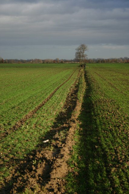
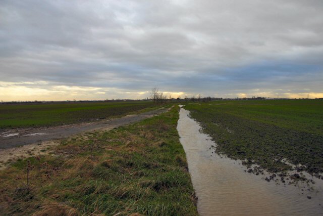
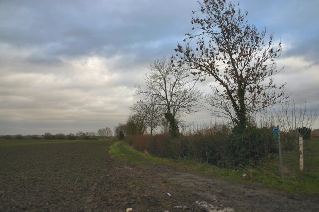
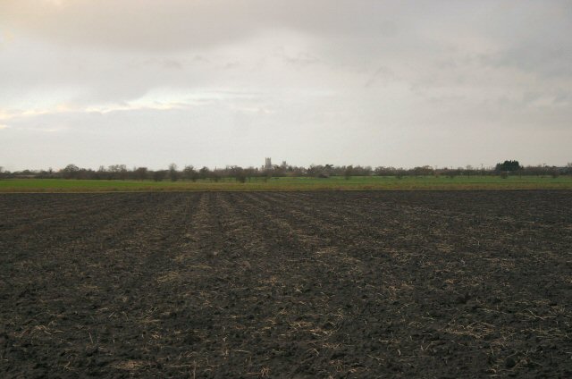
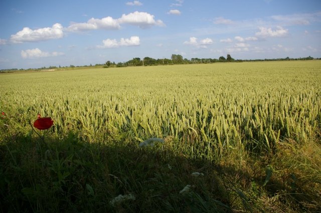
Barcham Corner is a small rural village located in the county of Cambridgeshire, England. Situated approximately 15 miles south of the city of Cambridge, it is nestled within the picturesque countryside, surrounded by rolling fields and meadows.
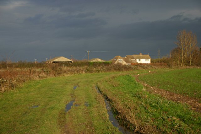
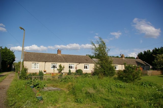
The village itself is characterized by a charming collection of traditional cottages and farmhouses, giving it a quaint and idyllic atmosphere. The population of Barcham Corner is relatively small, with around 200 residents, creating a close-knit community where neighbors often know each other by name.
Despite its small size, Barcham Corner boasts a number of amenities to cater to its residents. It is home to a local primary school, providing education for children in the area. Additionally, there is a village hall that serves as a hub for various community activities and events.
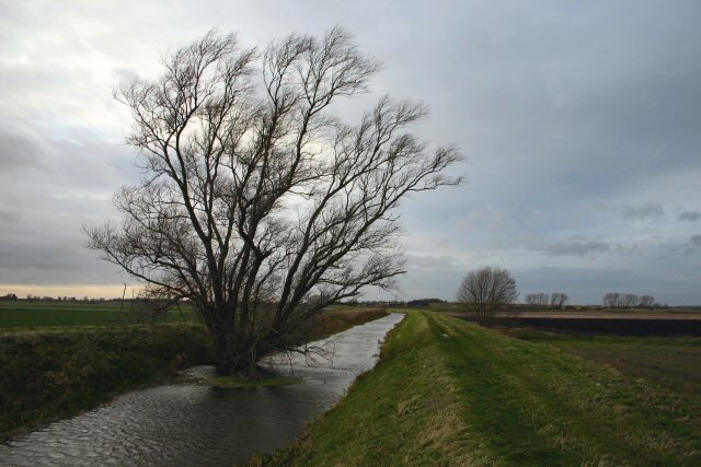
The natural beauty of Barcham Corner and its surroundings make it a popular destination for outdoor enthusiasts. The village is surrounded by numerous footpaths and bridleways, offering opportunities for picturesque walks and horseback riding. Furthermore, the nearby River Cam provides opportunities for fishing and boating.
While Barcham Corner may lack the extensive amenities found in larger towns, its peaceful and rural setting offers a serene lifestyle away from the hustle and bustle of city life. It remains a place where residents can enjoy the tranquility of the countryside while still maintaining access to nearby urban areas.
If you have any feedback on the listing, please let us know in the comments section below.
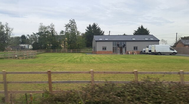
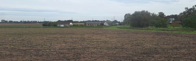
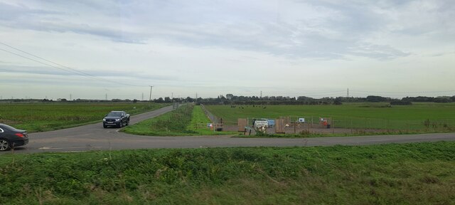
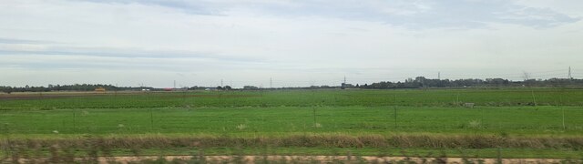
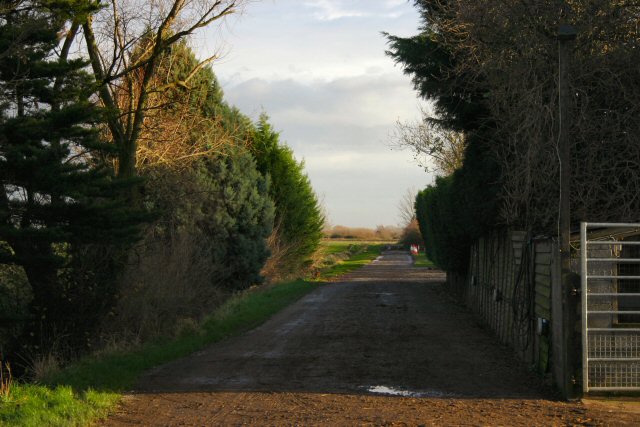
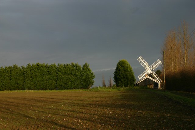
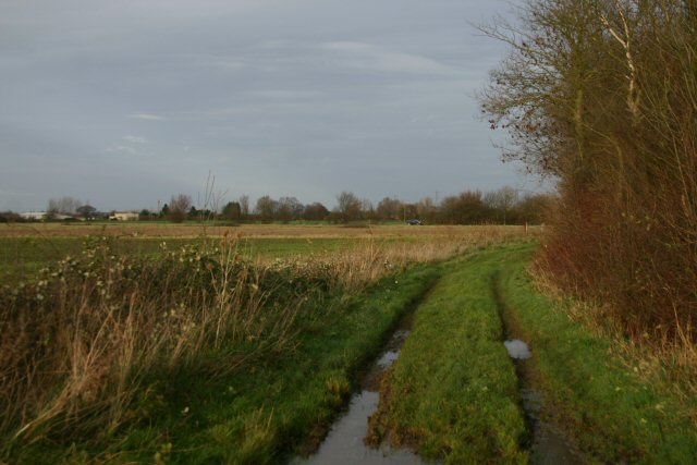
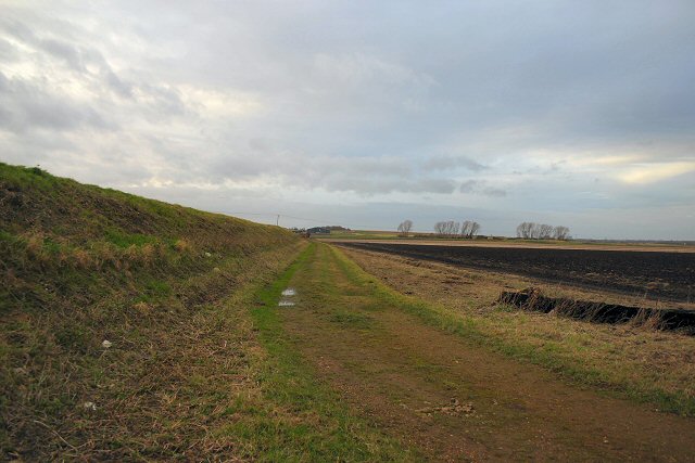
Barcham Corner Images
Images are sourced within 2km of 52.358684/0.3243488 or Grid Reference TL5875. Thanks to Geograph Open Source API. All images are credited.

Barcham Corner is located at Grid Ref: TL5875 (Lat: 52.358684, Lng: 0.3243488)
Administrative County: Cambridgeshire
District: East Cambridgeshire
Police Authority: Cambridgeshire
What 3 Words
///barrel.canal.exacted. Near Soham, Cambridgeshire
Nearby Locations
Related Wikis

Delph Bridge Drain
Delph Bridge Drain is a 0.15-hectare (0.37-acre) biological Site of Special Scientific Interest north-west of Soham in Cambridgeshire.This site has the...

Soham Town Rangers F.C.
Soham Town Rangers Football Club is an English football club based in Soham, Cambridgeshire. The club are currently members of the Eastern Counties League...

Soham rail disaster
The Soham rail disaster occurred on 2 June 1944, during the Second World War, when a fire developed on the leading wagon of a heavy ammunition train....
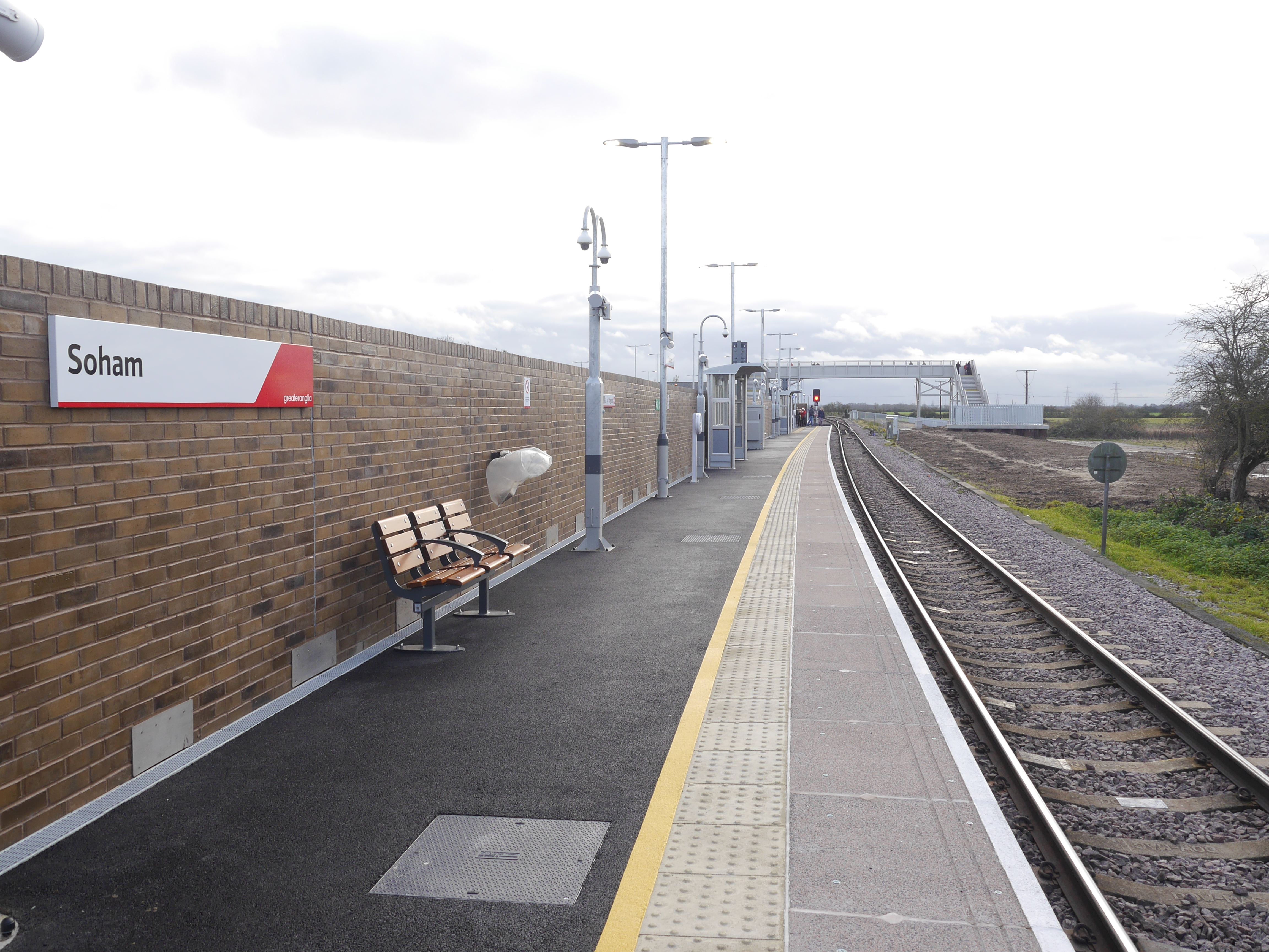
Soham railway station
Soham railway station is a station on the Ipswich–Ely line, serving the town of Soham in Cambridgeshire. The original station operated between 1879 and...

Soham
Soham ( SOH-əm) is a town and civil parish in the district of East Cambridgeshire, in Cambridgeshire, England, just off the A142 between Ely and Newmarket...
Soham Abbey
Soham Abbey was an Anglo-Saxon monastery in Soham, which at the time was in the Kingdom of East Anglia. Constructed by St Felix of Burgundy during the...

Stuntney
Stuntney is a village in East Cambridgeshire, located between Ely and Soham. It is just off the main road going from Newmarket to Ely, the A142. ��2�...

Soham Village College
Soham Village College is a secondary school with academy status located in Soham, Cambridgeshire, England. It has around 1,400 pupils, aged 11 to 16. Although...
Nearby Amenities
Located within 500m of 52.358684,0.3243488Have you been to Barcham Corner?
Leave your review of Barcham Corner below (or comments, questions and feedback).