Barcombe Mills
Settlement in Sussex Lewes
England
Barcombe Mills
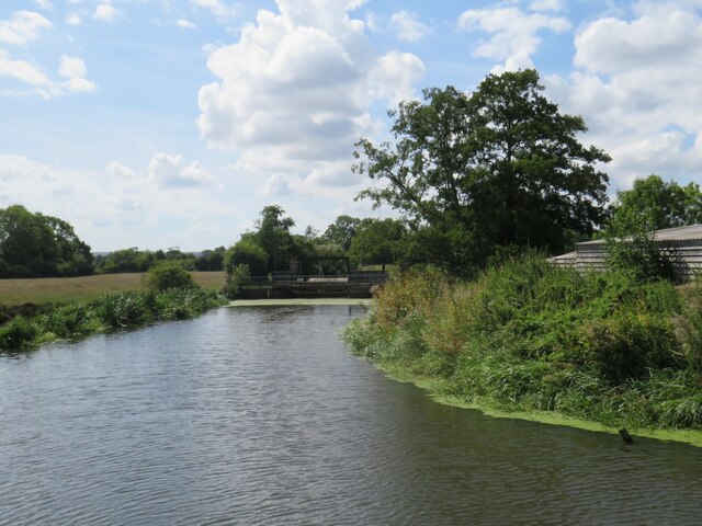
Barcombe Mills is a charming village located in the county of Sussex, England. Situated on the River Ouse, it is nestled in the heart of the South Downs National Park, offering residents and visitors alike a picturesque landscape of rolling green hills and serene waterways.
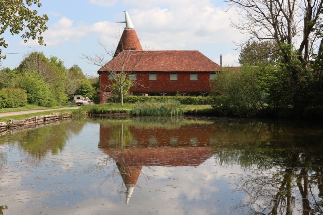
The village is primarily known for its historic mill, which dates back to the 18th century. The mill, once a thriving industrial center, has now been converted into a popular tea room and restaurant, where visitors can enjoy delicious homemade treats while taking in the peaceful surroundings. The mill also serves as a starting point for scenic walks along the river and through the surrounding countryside.
Barcombe Mills is a haven for nature lovers and outdoor enthusiasts. The area is home to an abundance of wildlife, including otters, kingfishers, and herons. The nearby Barcombe Reservoir is a popular spot for birdwatching and fishing, attracting enthusiasts from all over the region.
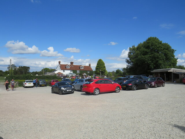
The village itself boasts a close-knit community, with a range of amenities for residents and visitors. There is a village hall that hosts regular events and activities, including art exhibitions and community gatherings. Additionally, there is a small shop and a pub where locals can unwind and socialize.
Barcombe Mills offers a tranquil escape from the hustle and bustle of city life, with its idyllic setting and strong sense of community. Whether you are looking to explore the beautiful countryside, enjoy a leisurely meal by the river, or simply relax in a peaceful environment, Barcombe Mills has something to offer everyone.
If you have any feedback on the listing, please let us know in the comments section below.
Barcombe Mills Images
Images are sourced within 2km of 50.916283/0.032504755 or Grid Reference TQ4214. Thanks to Geograph Open Source API. All images are credited.


Barcombe Mills is located at Grid Ref: TQ4214 (Lat: 50.916283, Lng: 0.032504755)
Administrative County: East Sussex
District: Lewes
Police Authority: Sussex
What 3 Words
///servers.pulp.quail. Near Ringmer, East Sussex
Nearby Locations
Related Wikis

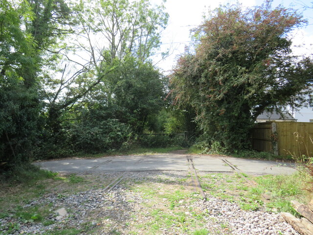
Barcombe Mills railway station
Barcombe Mills is a disused railway station in the hamlet of Barcombe Mills, on the closed section of the Wealden Line. The station was opened in 1858...

Barcombe Mills
Barcombe Mills is a small settlement and an area of countryside including a local nature reserve near the village of Barcombe Cross in East Sussex, England...

Barcombe
Barcombe is an East Sussex village and civil parish in the Lewes District of East Sussex. The parish has four settlements: old Barcombe (TQ 418 143), the...

Barcombe railway station
Barcombe was a railway station serving the village of Barcombe in East Sussex. It was part of the East Grinstead to Lewes line, part of which now makes...

Isfield
Isfield is a small village and civil parish in the Wealden District of East Sussex in England, located north-east of Lewes. == History == The village of...

Hamsey
Hamsey is a civil parish in the Lewes District of East Sussex, England. The parish covers a large area (1,144 hectares (2,830 acres)) and consists of the...

Lavender Line
The Lavender Line is a heritage railway based at Isfield Station, near Uckfield in East Sussex, England. == History == The Lavender Line was originally...

River Uck
The River Uck is a river in East Sussex, United Kingdom, which drains a catchment starting near Crowborough in the North, Hadlow Down to the East and Laughton...
Nearby Amenities
Located within 500m of 50.916283,0.032504755Have you been to Barcombe Mills?
Leave your review of Barcombe Mills below (or comments, questions and feedback).