Barcombe
Settlement in Sussex Lewes
England
Barcombe
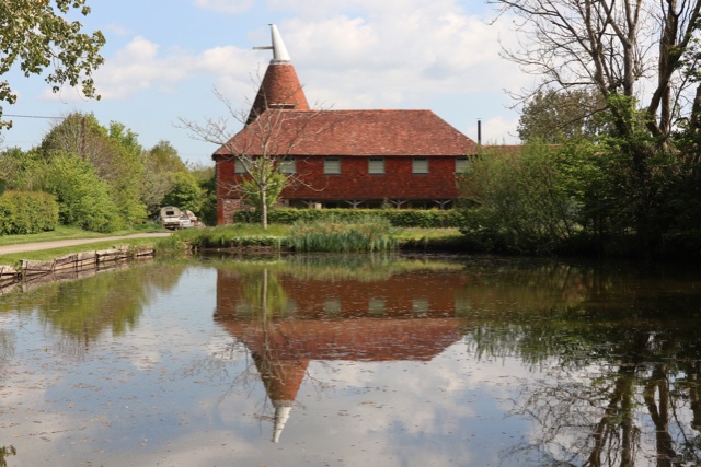
Barcombe is a charming village located in the district of Lewes, within the county of East Sussex, England. Situated on the banks of the River Ouse, it is surrounded by picturesque countryside and offers a peaceful retreat from the urban bustle. The village is approximately six miles north of the county town of Lewes and about 11 miles northeast of Brighton.
Barcombe is known for its beautiful natural surroundings, with rolling hills, lush meadows, and verdant woodlands which provide ample opportunities for outdoor activities such as hiking, cycling, and bird watching. The river also attracts anglers and boating enthusiasts, offering a tranquil setting for leisurely pursuits.
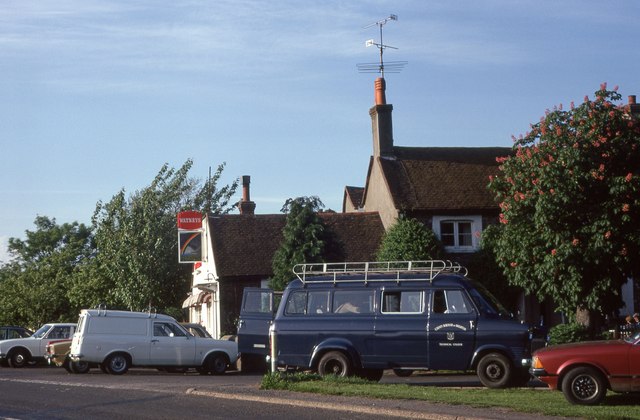
The village itself is characterized by a mix of historic architecture and modern amenities. Its quaint streets are lined with traditional cottages, some dating back several centuries, creating an atmosphere of old-world charm. There is a village hall which hosts various community events, and a local pub where residents and visitors can enjoy a drink or a meal.
Barcombe has a close-knit community, with a range of amenities to cater to its residents' needs. These include a primary school, a village shop, and a post office, ensuring that daily essentials are easily accessible. The village's proximity to larger towns like Lewes and Brighton also provides additional amenities and services within a short distance.
Overall, Barcombe is a delightful village that offers a peaceful and idyllic lifestyle amidst the natural beauty of the Sussex countryside, while still providing convenient access to nearby urban centers.
If you have any feedback on the listing, please let us know in the comments section below.
Barcombe Images
Images are sourced within 2km of 50.914357/0.019496 or Grid Reference TQ4214. Thanks to Geograph Open Source API. All images are credited.


Barcombe is located at Grid Ref: TQ4214 (Lat: 50.914357, Lng: 0.019496)
Administrative County: East Sussex
District: Lewes
Police Authority: Sussex
What 3 Words
///burden.carefully.albums. Near Ringmer, East Sussex
Nearby Locations
Related Wikis

Barcombe Mills railway station
Barcombe Mills is a disused railway station in the hamlet of Barcombe Mills, on the closed section of the Wealden Line. The station was opened in 1858...

Barcombe
Barcombe is an East Sussex village and civil parish in the Lewes District of East Sussex. The parish has four settlements: old Barcombe (TQ 418 143), the...

Barcombe Mills
Barcombe Mills is a small settlement and an area of countryside including a local nature reserve near the village of Barcombe Cross in East Sussex, England...

Barcombe railway station
Barcombe was a railway station serving the village of Barcombe in East Sussex. It was part of the East Grinstead to Lewes line, part of which now makes...

Hamsey
Hamsey is a civil parish in the Lewes District of East Sussex, England. The parish covers a large area (1,144 hectares (2,830 acres)) and consists of the...
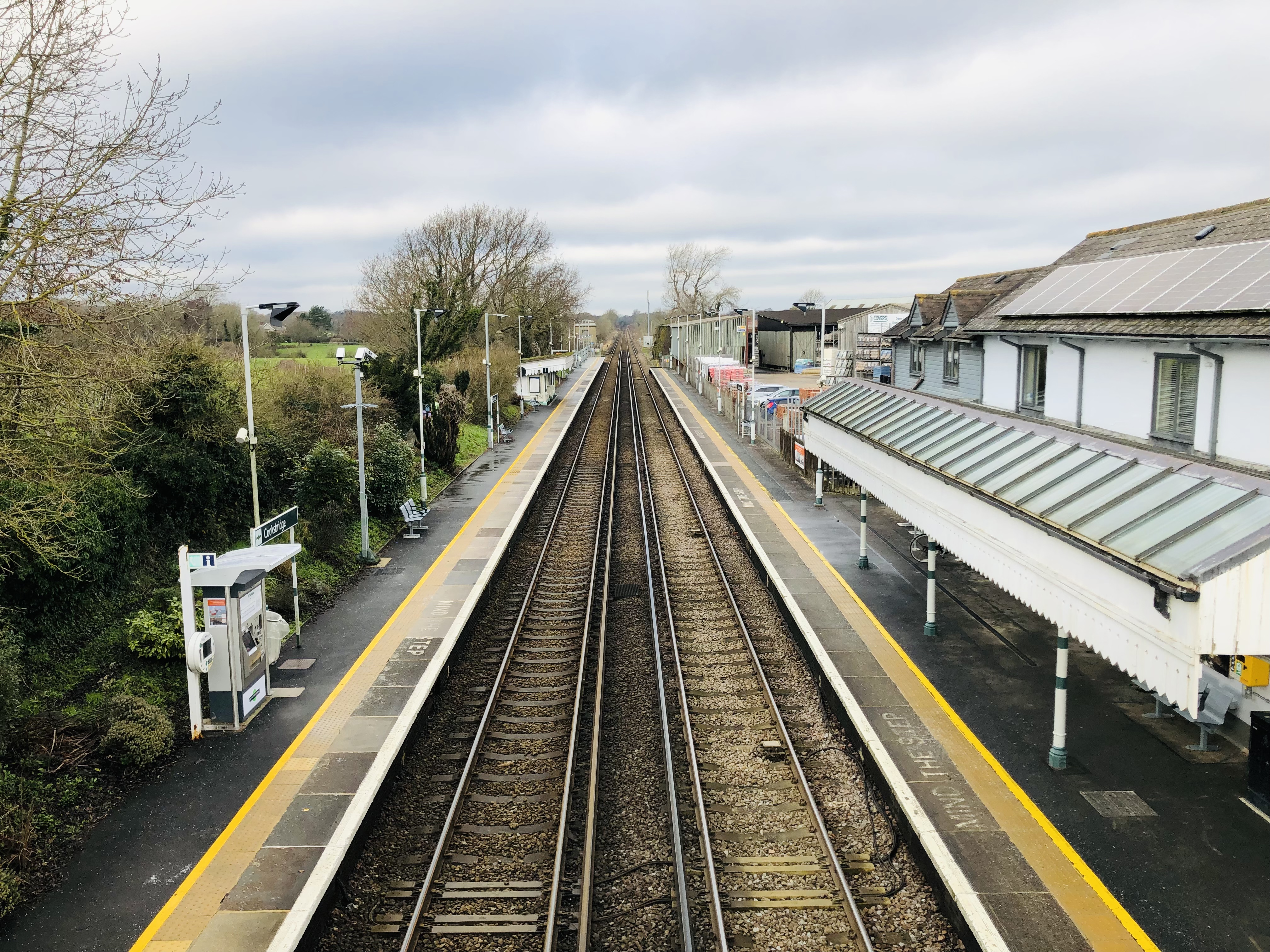
Cooksbridge railway station
Cooksbridge railway station serves the village of Cooksbridge in East Sussex, England. It is on the East Coastway Line, 47 miles 31 chains (76.3 km) from...

Isfield
Isfield is a small village and civil parish in the Wealden District of East Sussex in England, located north-east of Lewes. == History == The village of...

Offham Marshes
Offham Marshes, also known as The Pells and Offham Marsh, is a 39.1-hectare (97-acre) biological Site of Special Scientific Interest on the northern outskirts...
Nearby Amenities
Located within 500m of 50.914357,0.019496Have you been to Barcombe?
Leave your review of Barcombe below (or comments, questions and feedback).