Barclose

Settlement in Cumberland Carlisle

England

Barclose

A conversation?
A conversation? Credit: Adrian Taylor

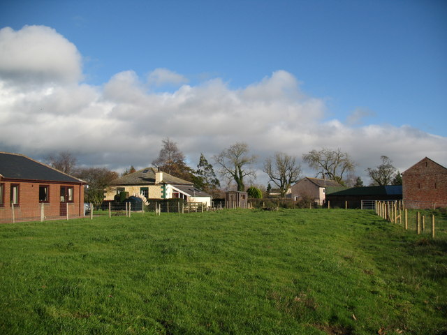
Barclose is a small village located in the county of Cumberland, England. Situated on the edge of the Lake District National Park, it is nestled among picturesque landscapes and offers a tranquil setting for its residents. The village is part of the Allerdale borough and falls within the civil parish of Brigham.

With a population of around 200 residents, Barclose maintains a close-knit community atmosphere. The village primarily consists of traditional stone houses, giving it a charming and rustic character. The surrounding countryside is dotted with farms and fields, contributing to the area's agricultural heritage.

Despite its small size, Barclose boasts a few amenities for its residents. The village has a local pub, serving as a social hub for gatherings and events. Additionally, there is a village hall that hosts various community activities and meetings.

The natural beauty of the Lake District is easily accessible from Barclose, attracting outdoor enthusiasts and nature lovers. Within a short distance, residents can explore stunning lakes, mountains, and forests, offering opportunities for hiking, fishing, and wildlife spotting. The nearby town of Cockermouth provides additional amenities, including shops, schools, and medical facilities.

Overall, Barclose offers a peaceful and idyllic lifestyle, surrounded by the breathtaking landscapes of the Lake District. It is a close community that cherishes its rural charm and provides a haven for those seeking a slower-paced and nature-filled existence.

If you have any feedback on the listing, please let us know in the comments section below.
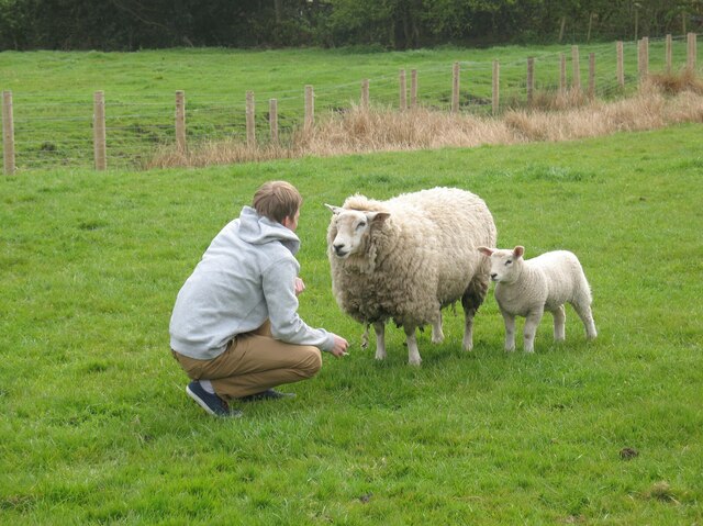
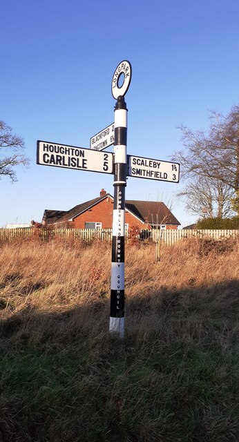
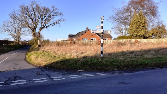
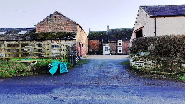
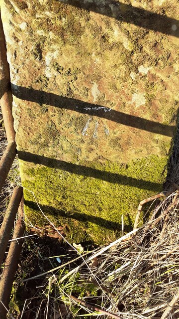
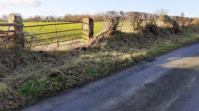
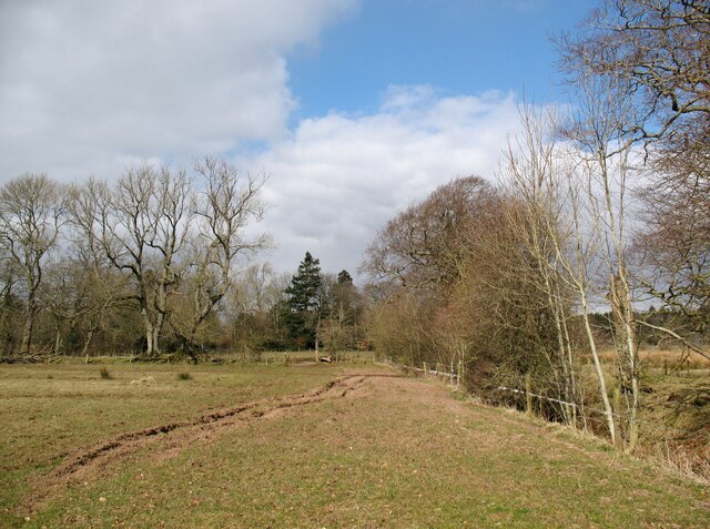
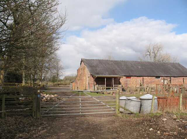
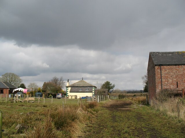
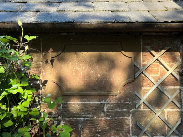
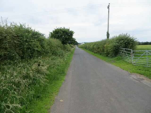
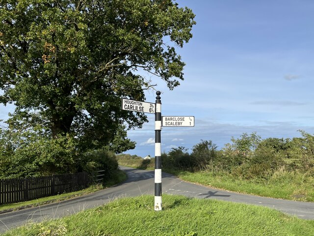
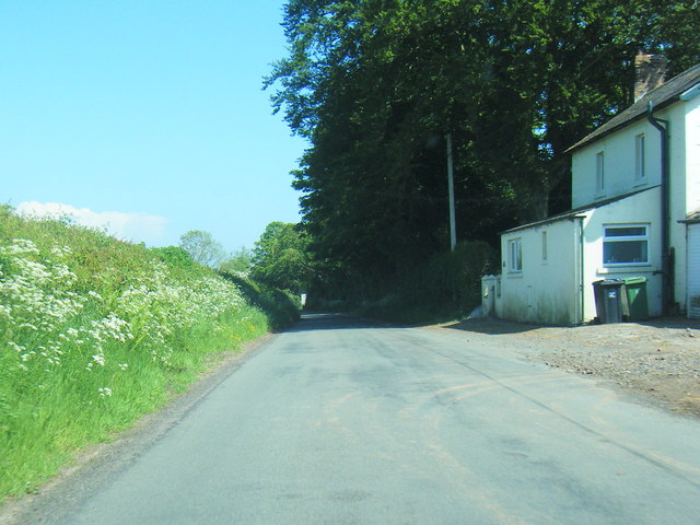
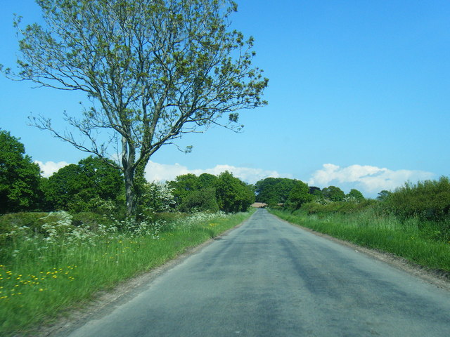
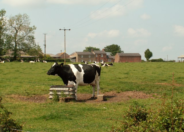
Barclose Images

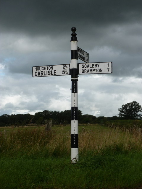
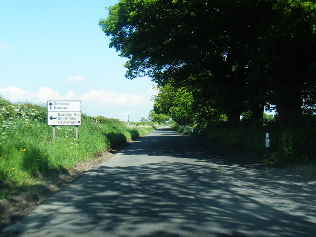
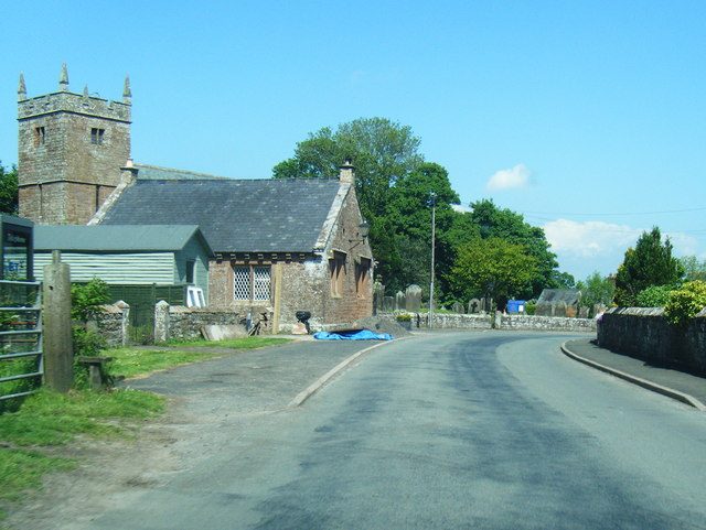
Images are sourced within 2km of 54.957011/-2.870561 or Grid Reference NY4462. Thanks to Geograph Open Source API. All images are credited.

A conversation?
A conversation?
Cumberland County Council finger signpost at T-junction in Longpark The signpost has Milestone Society National ID: CU_NY4261
Cumberland County Council finger signpost at T-junction in Longpark
The signpost has Milestone Society National ID: CU_NY4261
T-junction opposite Longpark Farm There is a Cumberland County Council signpost <a href="https://www.geograph.org.uk/photo/7075236">NY4261 : Cumberland County Council finger signpost at T-junction in Longpark</a> at the NE quadrant of the junction
T-junction opposite Longpark Farm
There is a Cumberland County Council signpost NY4261 : Cumberland County Council finger signpost at T-junction in Longpark at the NE quadrant of the junction
Entrance to Longpark Farm Ordnance Survey documents indicate that a benchmark levelled at 26.141m above Newlyn Datum was verified in 1974 on a gatepost at the entrance
Entrance to Longpark Farm
Ordnance Survey documents indicate that a benchmark levelled at 26.141m above Newlyn Datum was verified in 1974 on a gatepost at the entrance
Benchmark on gatepost on west side of rural road west of Longpark Ordnance Survey cut mark benchmark levelled at 29.808m above Newlyn Datum verified 1972
Benchmark on gatepost on west side of rural road west of Longpark
Ordnance Survey cut mark benchmark levelled at 29.808m above Newlyn Datum verified 1972
Gateway on west side of rural road south of Linkumdoddie There is an Ordnance Survey benchmark <a href="https://www.geograph.org.uk/photo/7092297">NY4262 : Benchmark on gatepost on west side of rural road west of Longpark</a> on the inside face of the right hand gatepost
Gateway on west side of rural road south of Linkumdoddie
There is an Ordnance Survey benchmark NY4262 : Benchmark on gatepost on west side of rural road west of Longpark on the inside face of the right hand gatepost
Field near Scaleby Castle The public bridleway from Highfieldmoor to Scaleby Castle runs parallel to the fence and ditch, towards the gate near the field corner.
Field near Scaleby Castle
The public bridleway from Highfieldmoor to Scaleby Castle runs parallel to the fence and ditch, towards the gate near the field corner.
Farm buildings near Scaleby Castle Two public bridleways, from Crosby-on-Eden and Highfieldmoor respectively, meet at the gate but there is no logical continuation of them to the road at Scaleby.  The small blue sign on the left hand gatepost is a reminder from the landowner that the bridleways end at that point.  Walkers can continue along a public footpath.
Farm buildings near Scaleby Castle
Two public bridleways, from Crosby-on-Eden and Highfieldmoor respectively, meet at the gate but there is no logical continuation of them to the road at Scaleby. The small blue sign on the left hand gatepost is a reminder from the landowner that the bridleways end at that point. Walkers can continue along a public footpath.
Track by Chapel Farm The barn on the right is part of Chapel Farm.  The former Wesleyan Methodist Chapel that gave it its name is the cottage in the centre of the photograph.
Track by Chapel Farm
The barn on the right is part of Chapel Farm. The former Wesleyan Methodist Chapel that gave it its name is the cottage in the centre of the photograph.
Date stone, Wesley Cottage Wesley Cottage, a private house, was formerly Scalebyhill Wesleyan Methodist Chapel.  The date stone, originally on the front of the chapel was later moved to the side of the porch when that was added during subsequent alterations.
The date stone reads ‘Wesleyan Methodist Chapel 1828’.
Date stone, Wesley Cottage
Wesley Cottage, a private house, was formerly Scalebyhill Wesleyan Methodist Chapel. The date stone, originally on the front of the chapel was later moved to the side of the porch when that was added during subsequent alterations. The date stone reads ‘Wesleyan Methodist Chapel 1828’.
Hedge enclosed minor road approaching Whitehill Farm Looking south-westward.
Hedge enclosed minor road approaching Whitehill Farm
Looking south-westward.
Signpost at Burnhill This signpost opposite the Old Post Office at Burnhill has Carlisle spelled incorrectly.
Signpost at Burnhill
This signpost opposite the Old Post Office at Burnhill has Carlisle spelled incorrectly.
Wesley Cottage and Chapel Farm Small field to the rear of Wesley Cottage, a former Methodist Chapel.
Wesley Cottage and Chapel Farm
Small field to the rear of Wesley Cottage, a former Methodist Chapel.
Scaleby: an old finger-post A nice, well-kept finger-post with the worlds CUMBERLAND COUNTY COUNCIL embossed down the post.
Scaleby: an old finger-post
A nice, well-kept finger-post with the worlds CUMBERLAND COUNTY COUNCIL embossed down the post.
Approaching lane junction near Park View
Scaleby at All Saints Church
Lane looking east at Fordsyke
Lane east of Fordsyke
Show me another place!

Barclose is located at Grid Ref: NY4462 (Lat: 54.957011, Lng: -2.870561)

Administrative County: Cumbria

District: Carlisle

Police Authority: Cumbria

What 3 Words

///nicknames.tried.tugging. Near Scotby, Cumbria

Nearby Locations

Barclose

Related Wikis

Scaleby

Scaleby is a village and civil parish in the English county of Cumbria. It is bounded on the north by Kirklinton and Irthington; whilst to the south lie...

Scaleby Castle

Scaleby Castle is in the village of Scaleby, Cumbria, England. The castle was originally built in the early 14th century, and extended in the 15th century...

Barclose

Barclose is a village in Cumbria, England.

Milecastle 61

Milecastle 61 (Wallhead) was a milecastle on Hadrian's Wall (grid reference NY45586088). == Description == Milecastle 61 is believed to lie close to Wallhead...

Milecastle 62

Milecastle 62 (Walby East) was a milecastle on Hadrian's Wall (grid reference NY44306049). == Description == Milecastle 62 is about 500 metres east of...

Walby

Walby is a hamlet in the civil parish of Stanwix Rural, in the Carlisle district, in the county of Cumbria, England. It is a few miles away from the city...

Smithfield, Cumbria

Smithfield is a village located in the parish of Kirklinton Middle approximately 8 miles north of Carlisle in Cumbria, United Kingdom, and has a population...

Stanwix Rural

Stanwix Rural is a civil parish in the City of Carlisle district of Cumbria, England, immediately to the north east of Carlisle itself – parts of the Carlisle...

Nearby Amenities

Located within 500m of 54.957011,-2.870561
Barclose
Place: hamlet
Source: NPE
Wikidata: Q2112959
Lat/Long: 54.9574944/-2.8721871
Post Office
Naptan AtcoCode: 090033331395
Naptan Bearing: E
Naptan BusStopType: CUS
Naptan CommonName: Post Office
Naptan Indicator: o/s
Naptan Landmark: Post Office
Naptan NaptanCode: cumatdgj
Naptan Street: No name
Naptan Verified: no
Source: naptan_import
Lat/Long: 54.9578914/-2.8701369
Bus Stop
All Saints Church (E)
Naptan AtcoCode: 090033331396
Naptan Bearing: E
Naptan BusStopType: CUS
Naptan CommonName: All Saints Church (E)
Naptan Indicator: o/s
Naptan Landmark: All Saints Church
Naptan NaptanCode: cumatdgm
Naptan Street: No name
Naptan Verified: no
Source: naptan_import
Lat/Long: 54.9595267/-2.8651434
Post Box
Ref: CA6 292
Source: survey
Lat/Long: 54.9575268/-2.8713905
Stoneknowe
Place: hamlet
Lat/Long: 54.9544066/-2.8769429
Power: pole
Lat/Long: 54.9579351/-2.8777261
Power: pole
Lat/Long: 54.9582518/-2.8764377
Power: pole
Lat/Long: 54.9586441/-2.8749106
Power: pole
Lat/Long: 54.9590365/-2.8733752
Power: pole
Lat/Long: 54.9594223/-2.8718499
Power: pole
Lat/Long: 54.9602071/-2.8686971
Power: pole
Lat/Long: 54.9606455/-2.8670668
Power: pole
Lat/Long: 54.9598134/-2.8703192
Power: pole
Lat/Long: 54.9557848/-2.8755402
Power: pole
Lat/Long: 54.9564865/-2.876254
Power: pole
Lat/Long: 54.9571937/-2.8769658
Power: pole
Lat/Long: 54.9555886/-2.8759428
Power: pole
Lat/Long: 54.9551641/-2.8764395
Power: pole
Lat/Long: 54.9550093/-2.8768902
Power: pole
Lat/Long: 54.954937/-2.8771136
The data included in this document is from www.openstreetmap.org. The data is made available under ODbL.

Have you been to Barclose?

Leave your review of Barclose below (or comments, questions and feedback).