The Common
Downs, Moorland in Essex Uttlesford
England
The Common

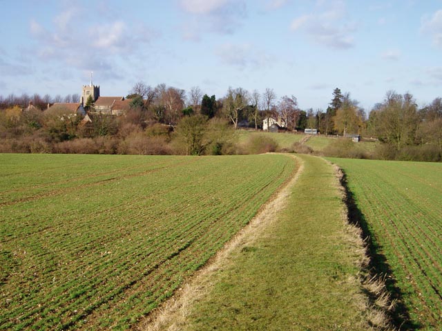
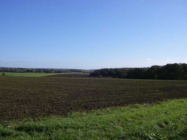
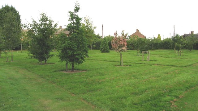
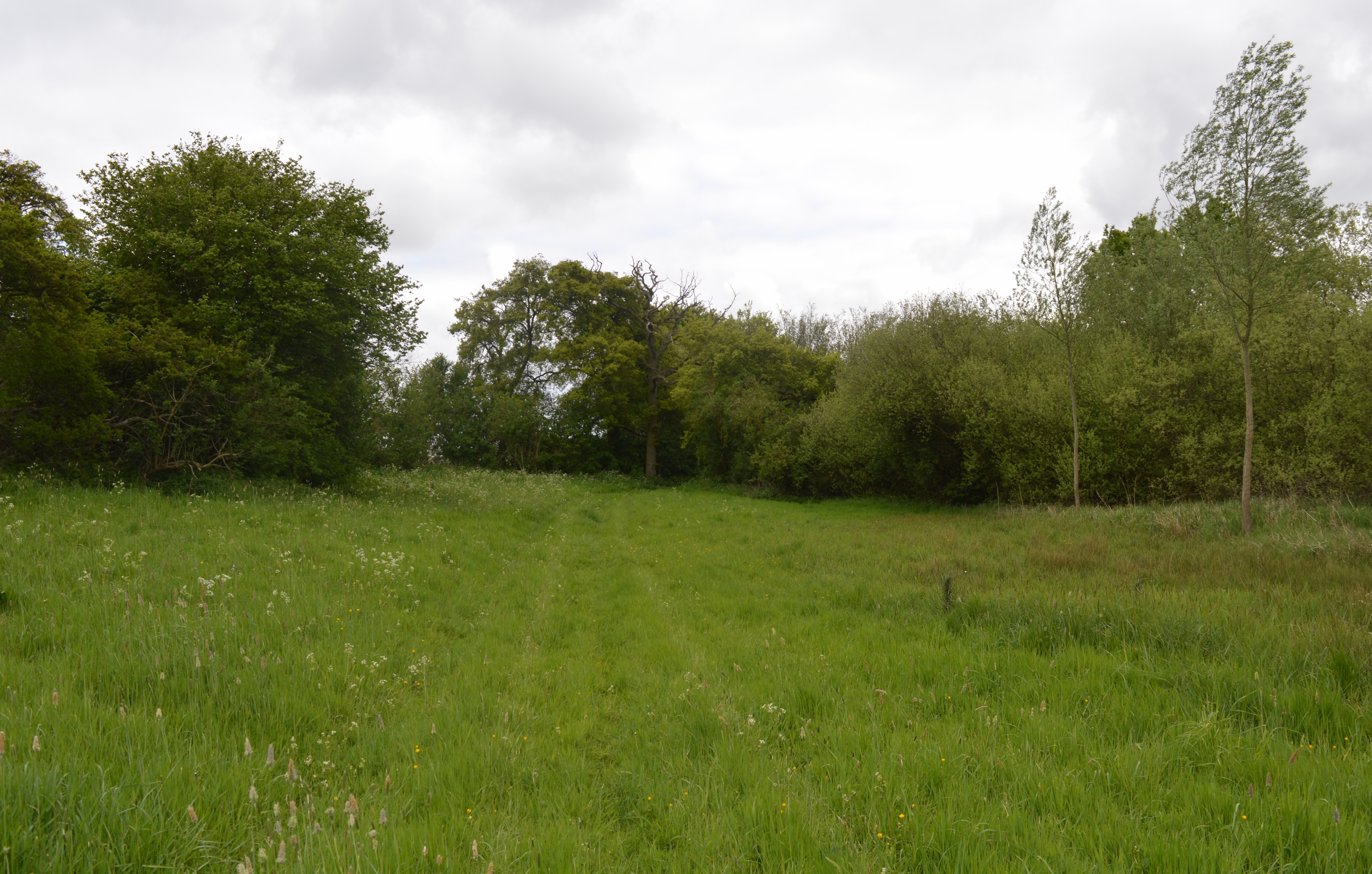
The Common, Essex, also known as the Essex Downs or Moorland, is a vast expanse of open land located in the county of Essex, England. Covering an area of approximately 10,000 acres, it is one of the largest commons in the country. The landscape of the Common is characterized by rolling hills, heathland, and scattered woodland.
The Common is home to a diverse range of flora and fauna, making it a haven for nature enthusiasts and conservationists. It boasts a rich variety of plant species, including heather, gorse, and bracken, which create a vibrant and colorful display during the summer months. The common is also home to several rare and protected species, such as the Dartford warbler and the adder snake.
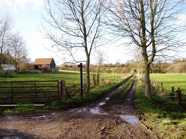
The area is crisscrossed by a network of footpaths and bridleways, making it popular among hikers, cyclists, and equestrians. These paths offer stunning views of the surrounding countryside, including distant views of the nearby towns and villages.
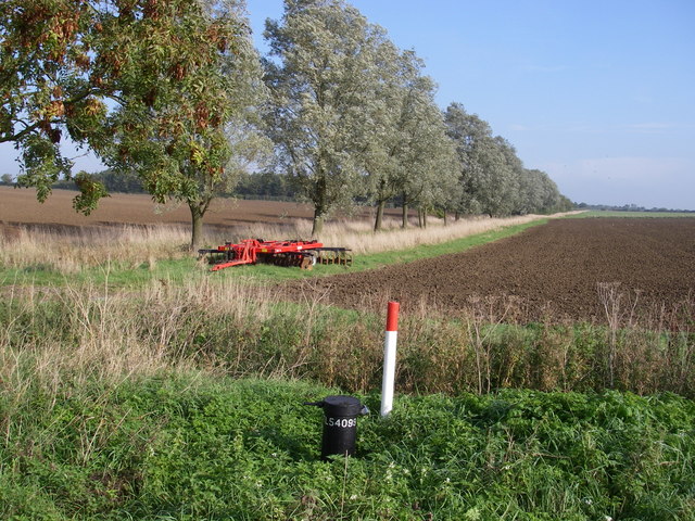
The Common has a long history, dating back to ancient times. It has been used for grazing livestock, particularly sheep, for centuries. The tradition of commoning, where local residents have the right to graze their animals on the land, continues to this day.
In addition to its natural beauty, the Common is also of historical and archaeological interest. There are several ancient burial mounds and Roman remains scattered throughout the area, providing a glimpse into the area's past.
The Common, Essex offers visitors a unique opportunity to immerse themselves in nature, explore its rich history, and enjoy the tranquility of the countryside.
If you have any feedback on the listing, please let us know in the comments section below.
The Common Images
Images are sourced within 2km of 52.031456/0.31297855 or Grid Reference TL5839. Thanks to Geograph Open Source API. All images are credited.


The Common is located at Grid Ref: TL5839 (Lat: 52.031456, Lng: 0.31297855)
Administrative County: Essex
District: Uttlesford
Police Authority: Essex
What 3 Words
///president.spooked.tropic. Near Saffron Walden, Essex
Nearby Locations
Related Wikis
Ashdon Meadows
Ashdon Meadows is a 1.5-hectare (3.7-acre) biological Site of Special Scientific Interest south of Ashdon in Essex.The site is unimproved grassland which...

Hales and Shadwell Woods
Hales and Shadwell Woods is a 15.4-hectare (38-acre) biological Site of Special Scientific Interest north-east of Saffron Walden in Essex. Shadwell Wood...

Sewards End
Sewards End is a village and civil parish in the Uttlesford district of Essex, England. Its area is 1211 acres. It is set in the rolling countryside...

Ashdon Halt railway station
Ashdon Halt was a railway station on the Saffron Walden Railway. It opened 14 August 1911 and closed 7 September 1964. The halt was approximately 46 miles...

Ashdon
Ashdon, is a village and civil parish in Essex, England. It is about 4 miles (6 km) northeast of Saffron Walden and 23 miles (37 km) northwest from the...

Radwinter
Radwinter is a village and a civil parish on the B1053 road, in the Uttlesford district of the county of Essex, England. The population in the 2011 census...
Bragg's Mill, Ashdon
Bragg's Mill, William Bragg's Mill, Bartlow Hamlet Mill or Stevington End Mill is a grade II listed post mill at Ashdon, Essex, England which has been...

Acrow Halt railway station
Acrow Halt was a railway station on the Saffron Walden Railway. Located at the north-eastern edge of Saffron Walden, Essex, the station was close to the...
Nearby Amenities
Located within 500m of 52.031456,0.31297855Have you been to The Common?
Leave your review of The Common below (or comments, questions and feedback).