The Rodings
Downs, Moorland in Essex Uttlesford
England
The Rodings

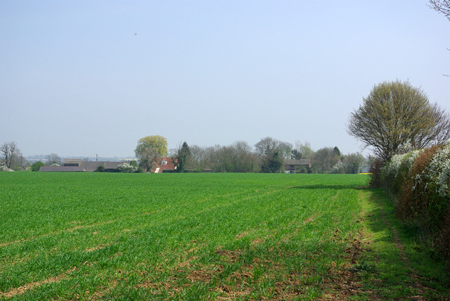
The Rodings is a rural district located in the county of Essex, England. Situated on the outskirts of the city of Chelmsford, it encompasses several small villages and hamlets, including High Roding, Margaret Roding, and Leaden Roding. The area is characterized by its picturesque countryside, with rolling hills, meandering streams, and lush green fields.
The Rodings is known for its diverse landscape, which includes both downs and moorland. The downs, or chalk hills, can be found in the southern part of the district and offer stunning views of the surrounding countryside. The moorland, located to the north, consists of open expanses of heather and grasses, creating a unique and wild atmosphere.
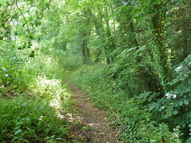
The district is rich in natural beauty, with numerous walking and cycling trails that allow visitors to explore the area at their own pace. The Rodings is also home to several nature reserves, providing habitats for a variety of wildlife, including birds, butterflies, and rare plant species.
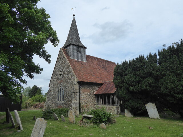
Aside from its natural attractions, The Rodings has a rich history dating back centuries. The villages are dotted with historic churches, some of which date back to the medieval period. The area also boasts several impressive manor houses and country estates, showcasing the architectural heritage of the region.
Overall, The Rodings in Essex offers a tranquil and idyllic escape from the hustle and bustle of city life. With its stunning landscapes, rich history, and abundance of outdoor activities, it is a popular destination for nature lovers and those seeking a peaceful retreat.
If you have any feedback on the listing, please let us know in the comments section below.
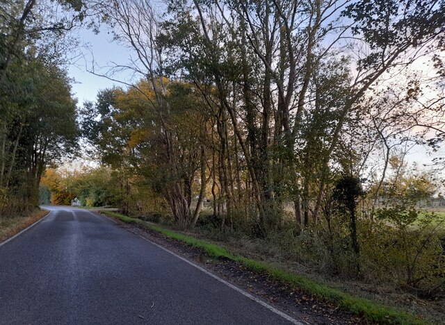
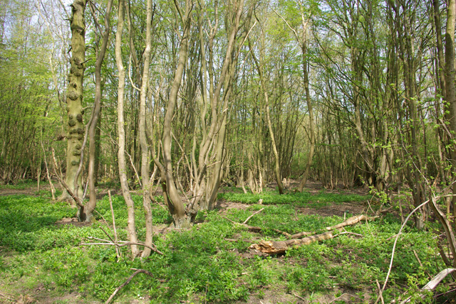
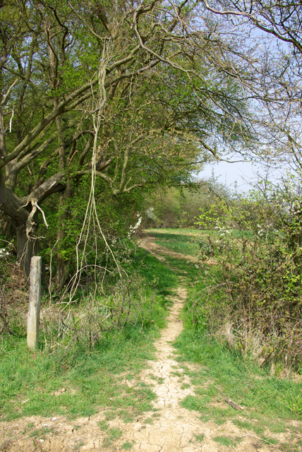
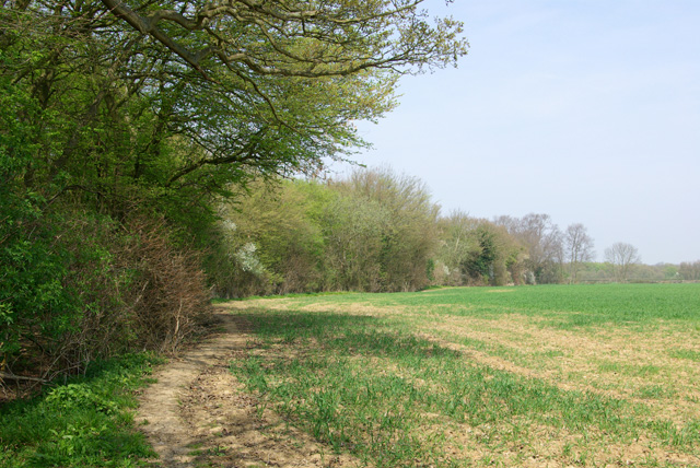
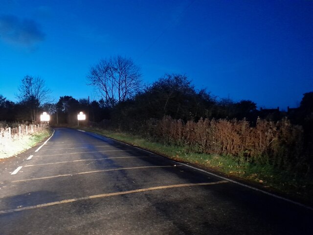
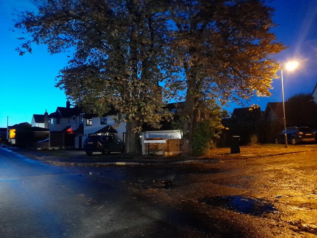
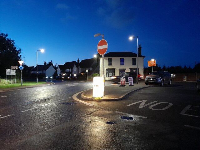
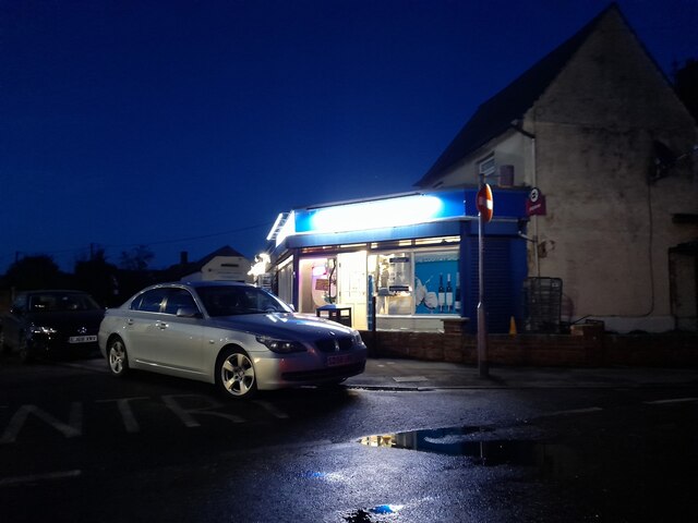
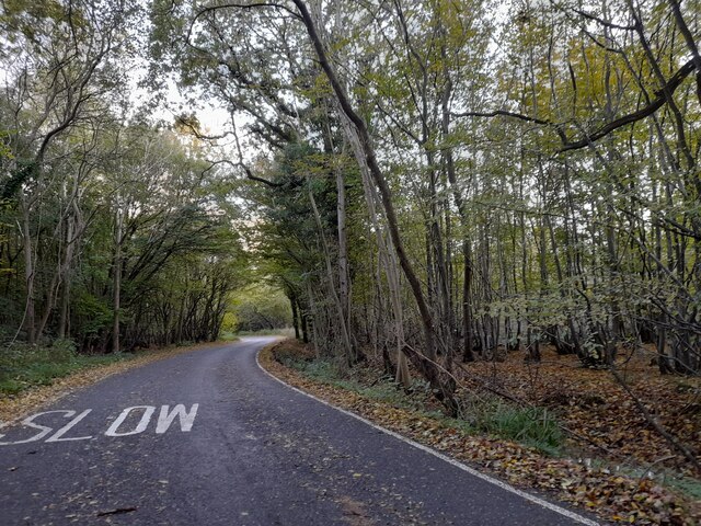
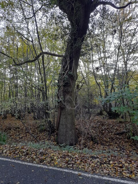
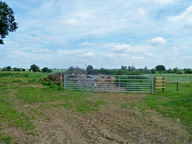
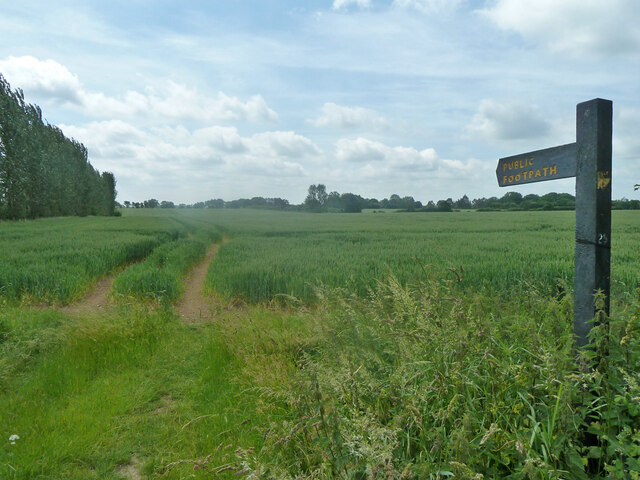
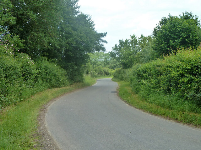
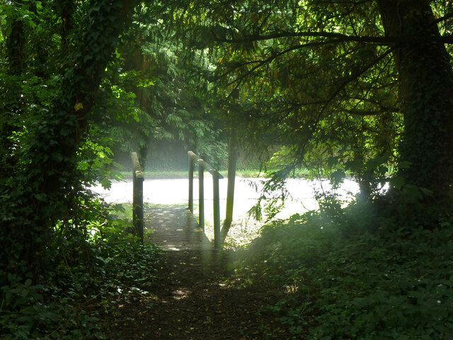
The Rodings Images
Images are sourced within 2km of 51.790804/0.29972965 or Grid Reference TL5812. Thanks to Geograph Open Source API. All images are credited.
The Rodings is located at Grid Ref: TL5812 (Lat: 51.790804, Lng: 0.29972965)
Administrative County: Essex
District: Uttlesford
Police Authority: Essex
What 3 Words
///level.spoil.bravo. Near Hatfield Heath, Essex
Nearby Locations
Related Wikis

Leaden Roding
Leaden Roding is a village and civil parish in the Uttlesford district of Essex, England. The village is included in the eight hamlets and villages called...

The Rodings
The Rodings are a group of eight villages in the upper part of the River Roding and the west of Essex, England, the largest group in the country to bear...

Margaret Roding
Margaret Roding is a village and civil parish in the Uttlesford district of Essex, England. The village is included in the eight hamlets and villages called...

Abbess Roding
Abbess Roding is a village and former civil parish, now in the parish of Abbess, Beauchamp and Berners Roding and the Epping Forest District of Essex,...

Abbess, Beauchamp and Berners Roding
Abbess, Beauchamp and Berners Roding is a group of three small villages in the County of Essex, England. Collectively, they form one civil parish in the...

Aythorpe Roding
Aythorpe Roding is a village and civil parish in the Uttlesford district of Essex, England. The village is included in the eight hamlets and villages called...

White Roding Windmill
White Roding Windmill is a Grade II listed preserved tower mill at White Roding, Essex, England. == History == White Roding Windmill was built in 1877...
Aythorpe Roding Windmill
Aythorpe Roding Windmill is a Grade II* listed Post mill at Aythorpe Roding, Essex, England which has been restored to working order. == History == Aythorpe...
Nearby Amenities
Located within 500m of 51.790804,0.29972965Have you been to The Rodings?
Leave your review of The Rodings below (or comments, questions and feedback).