Angle Common
Downs, Moorland in Cambridgeshire East Cambridgeshire
England
Angle Common
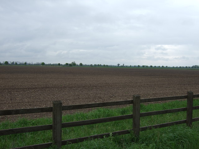
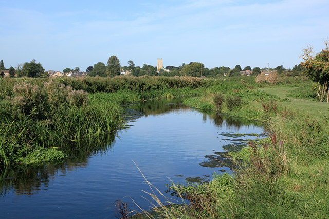
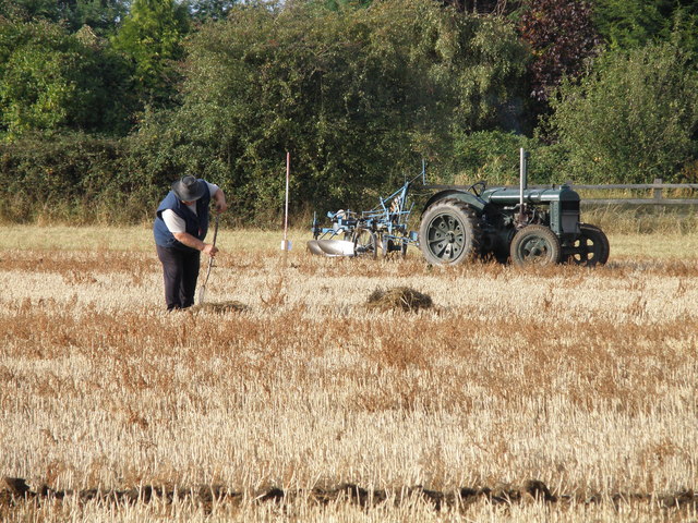
Angle Common is a picturesque region located in Cambridgeshire, England. It is predominantly characterized by its stunning downs and moorland landscapes, offering visitors breathtaking views and a tranquil atmosphere. Covering an expansive area, Angle Common is a popular destination for nature enthusiasts and outdoor adventurers.
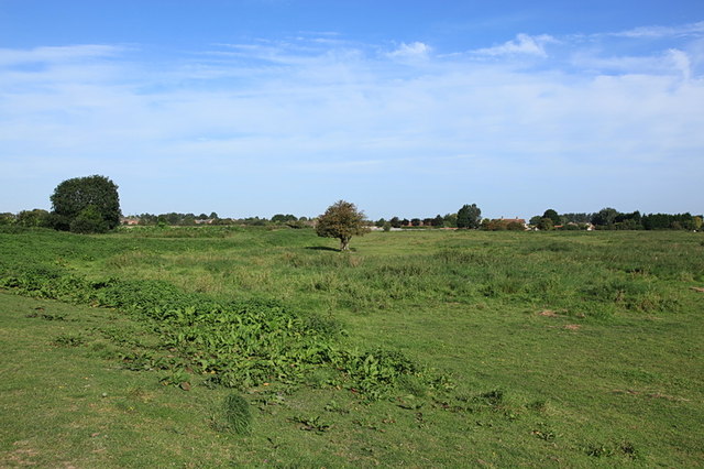
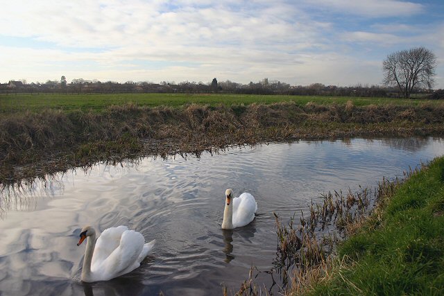
The downs of Angle Common are vast stretches of rolling hills covered in lush green grass, scattered with wildflowers during the warmer months. These hills provide a perfect spot for walking, picnicking, and enjoying the panoramic views of the surrounding countryside. Many visitors are drawn to the downs for their peaceful ambiance and the opportunity to observe a diverse range of wildlife, including various bird species.
Adjacent to the downs, Angle Common is also home to expansive moorlands. These moors are characterized by their marshy terrain, with patches of heather and gorse adding vibrant colors to the landscape. Moorland walks are a popular activity, allowing visitors to explore the unique flora and fauna that thrive in this environment. The moorlands are particularly beautiful during the flowering season when the heather blooms, painting the area in shades of purple.
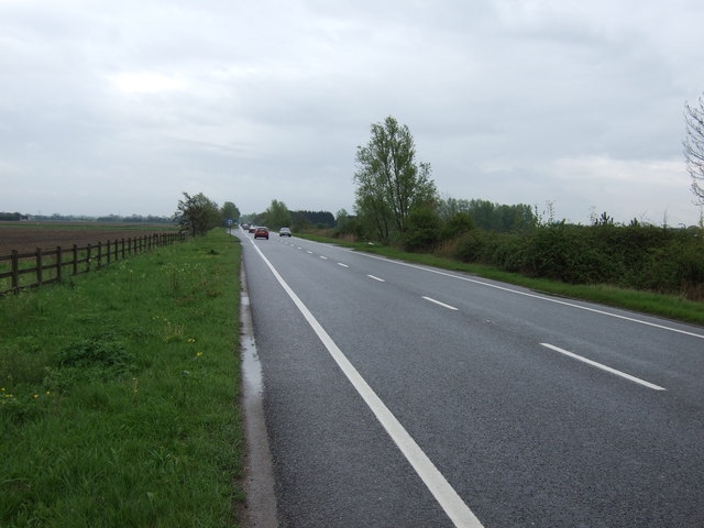
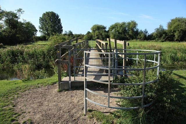
Angle Common is well-equipped for visitors, with designated walking trails and picnic areas. The region is easily accessible by road, and parking facilities are available. Local conservation efforts ensure the preservation of the natural beauty and habitat diversity of Angle Common, making it a cherished location for both locals and tourists alike.
If you have any feedback on the listing, please let us know in the comments section below.
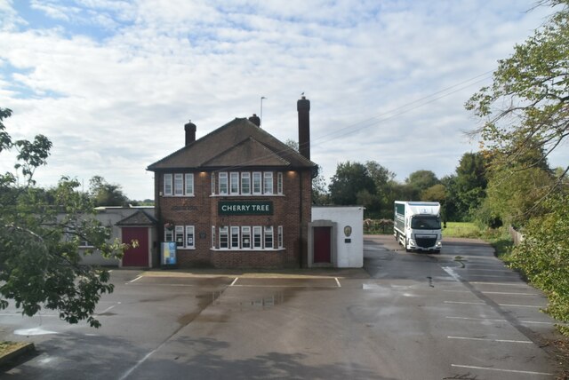
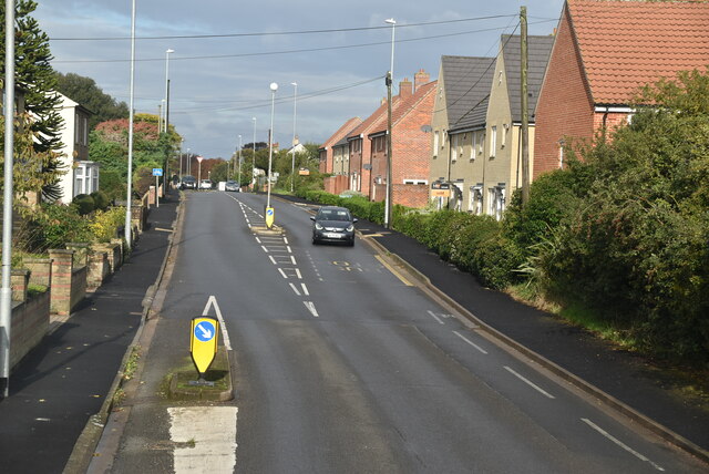
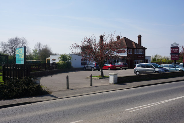
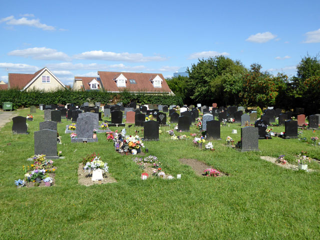
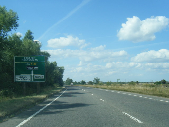
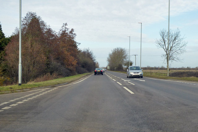
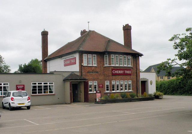
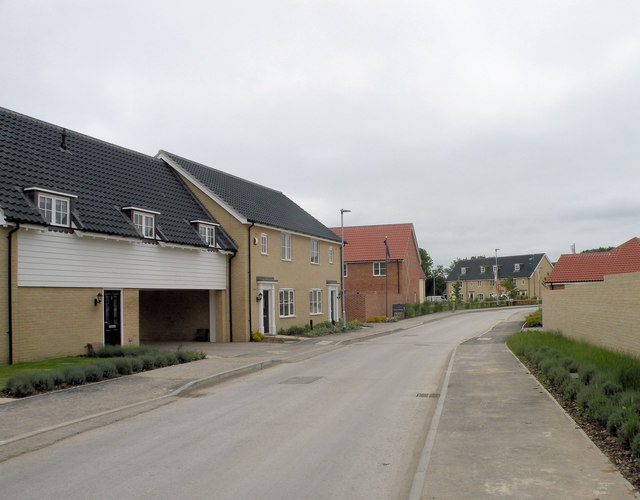
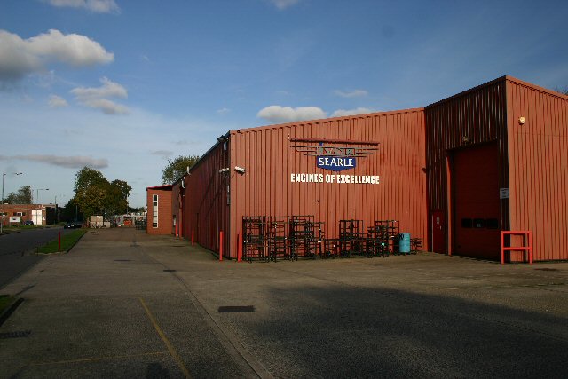
Angle Common Images
Images are sourced within 2km of 52.331621/0.32643743 or Grid Reference TL5872. Thanks to Geograph Open Source API. All images are credited.

Angle Common is located at Grid Ref: TL5872 (Lat: 52.331621, Lng: 0.32643743)
Administrative County: Cambridgeshire
District: East Cambridgeshire
Police Authority: Cambridgeshire
What 3 Words
///energy.advances.imperious. Near Soham, Cambridgeshire
Nearby Locations
Related Wikis
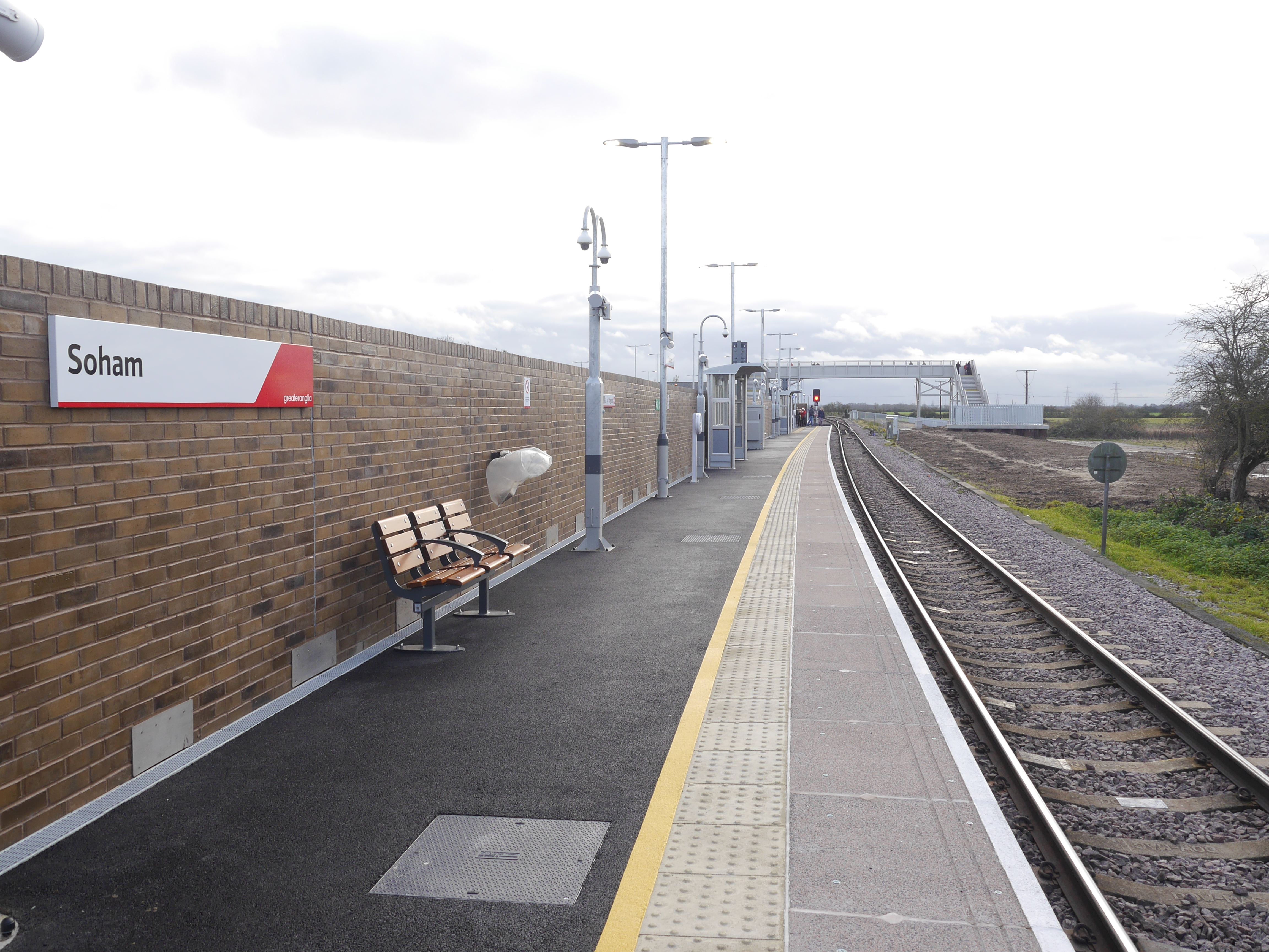
Soham railway station
Soham railway station is a station on the Ipswich–Ely line, serving the town of Soham in Cambridgeshire. The original station operated between 1879 and...

Soham rail disaster
The Soham rail disaster occurred on 2 June 1944, during the Second World War, when a fire developed on the leading wagon of a heavy ammunition train....

Soham
Soham ( SOH-əm) is a town and civil parish in the district of East Cambridgeshire, in Cambridgeshire, England, just off the A142 between Ely and Newmarket...

Soham Abbey
Soham Abbey was an Anglo-Saxon monastery in Soham, which at the time was in the Kingdom of East Anglia. Constructed by St Felix of Burgundy during the...

Soham Village College
Soham Village College is a secondary school with academy status located in Soham, Cambridgeshire, England. It has around 1,400 pupils, aged 11 to 16. Although...
Soham Town Rangers F.C.
Soham Town Rangers Football Club is an English football club based in Soham, Cambridgeshire. The club are currently members of the Eastern Counties League...

Soham Wet Horse Fen
Soham Wet Horse Fen is a 33.8-hectare (84-acre) biological Site of Special Scientific Interest east of Soham in Cambridgeshire. A 3.6-hectare (8.9-acre...
Burwell Tramway
Burwell Tramway was a 2.5 miles (4.0 km) standard gauge industrial tramway which ran from the Ely-Newmarket line, just south of the Soham-Wicken A1123...
Nearby Amenities
Located within 500m of 52.331621,0.32643743Have you been to Angle Common?
Leave your review of Angle Common below (or comments, questions and feedback).