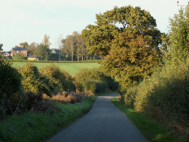
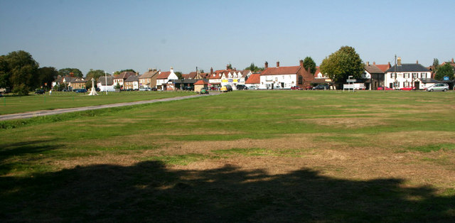
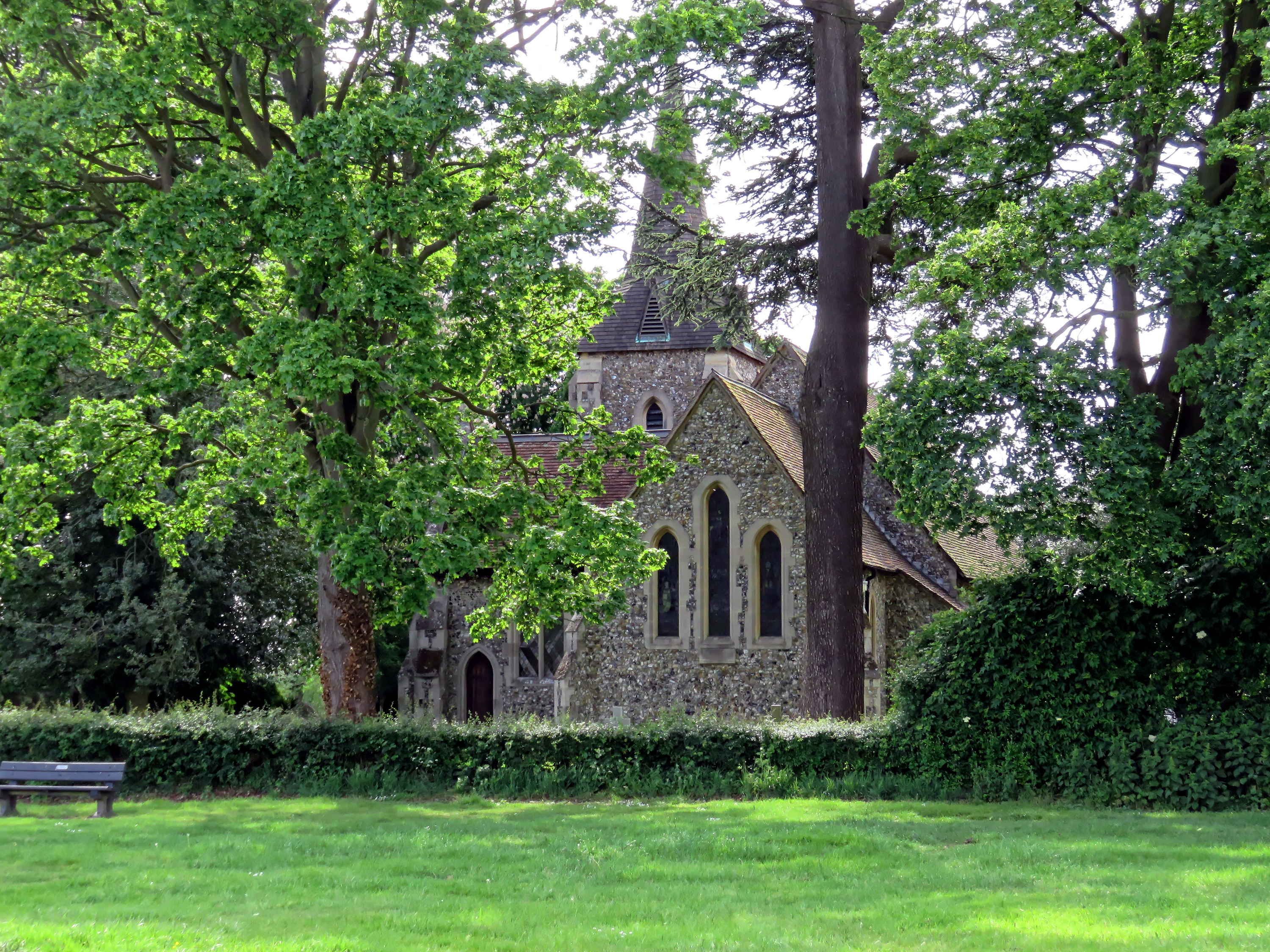
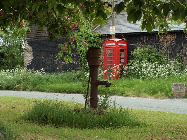
Bentley Common

Downs, Moorland in Essex Uttlesford

England

Bentley Common

Sparrows Lane meets A1060 Chelmsford Road The right turn up the main road to the left is plated Sparrow Lane, without an 's'.
Sparrows Lane meets A1060 Chelmsford Road Credit: Robin Webster

Bentley Common is a picturesque area located in Essex, England, encompassing a diverse landscape of downs and moorland. Covering an expansive area, Bentley Common is a popular destination for nature enthusiasts and those seeking tranquility away from the hustle and bustle of city life.

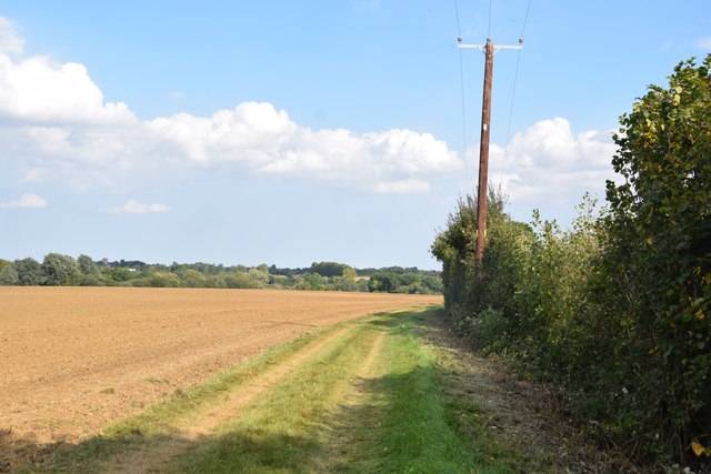
The downs of Bentley Common are characterized by their gently rolling hills, offering panoramic views of the surrounding countryside. These hills are covered in lush green grasses and are often dotted with grazing sheep, adding to the idyllic scenery. The downs are also home to a variety of wildflowers, including vibrant purple heather and delicate harebells, which add a splash of color to the landscape during the summer months.

In contrast, the moorland of Bentley Common is a more rugged and wild terrain. It is characterized by its open expanses of heath, interspersed with patches of gorse and bracken. The moorland is rich in biodiversity, providing a habitat for a range of wildlife including birds, such as skylarks and meadow pipits, and small mammals like rabbits and voles.

Visitors to Bentley Common can enjoy a range of outdoor activities, including hiking, birdwatching, and photography. There are also several well-marked trails that allow visitors to explore the area and take in the stunning scenery at their own pace.

Overall, Bentley Common is a haven for nature lovers, offering a blend of downs and moorland that showcases the natural beauty of the Essex countryside.

If you have any feedback on the listing, please let us know in the comments section below.

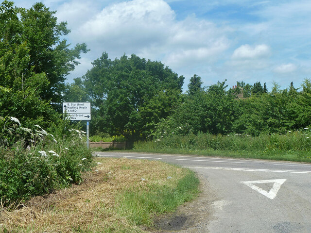
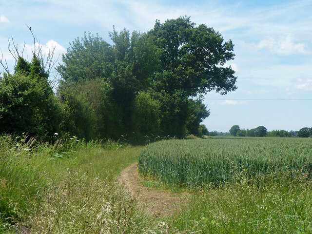
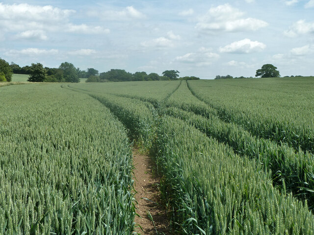
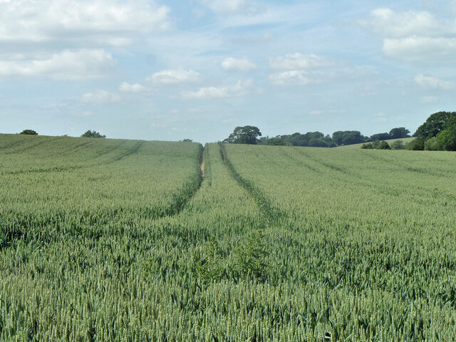
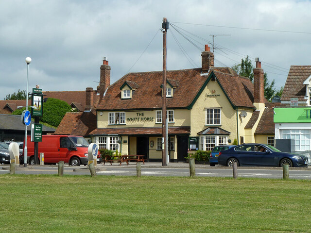
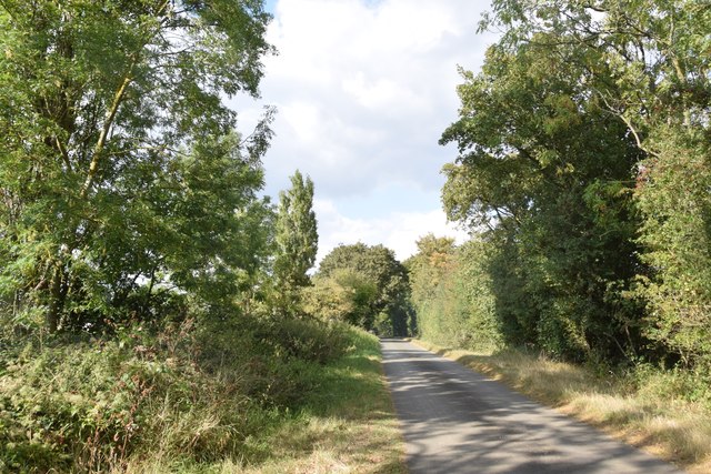
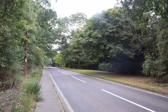
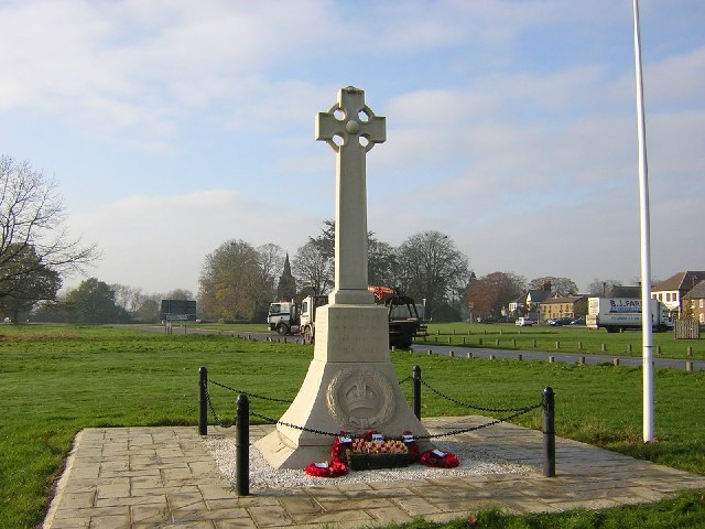
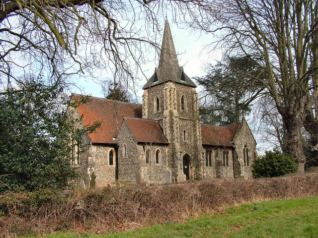
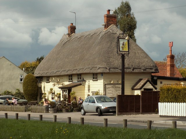
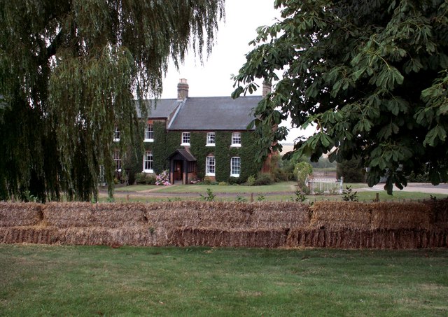
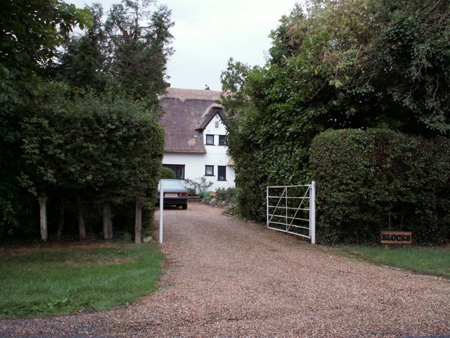
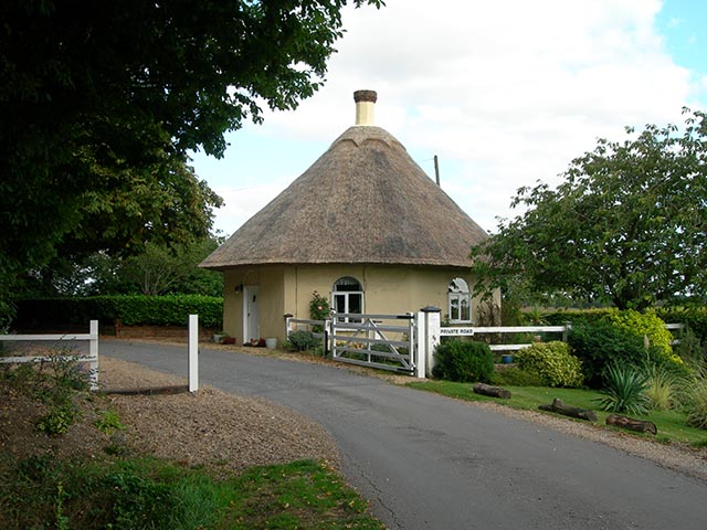
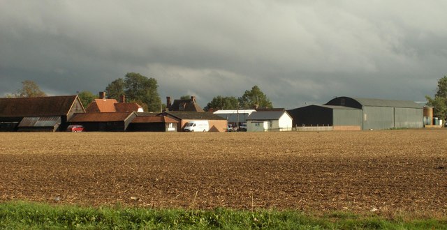
Bentley Common Images

Images are sourced within 2km of 51.806844/0.21659754 or Grid Reference TL5214. Thanks to Geograph Open Source API. All images are credited.

Sparrows Lane meets A1060 Chelmsford Road The right turn up the main road to the left is plated Sparrow Lane, without an 's'.
Sparrows Lane meets A1060 Chelmsford Road
The right turn up the main road to the left is plated Sparrow Lane, without an 's'.
Hedgerow and field north of Grange Farm
Tractor tracks in the wheat The left hand branch is close to the mapped route of footpath Hatfield Heath 41, but may also be for agricultural purposes to cover the lower part of the field that has a curvaceous brook margin.
Tractor tracks in the wheat
The left hand branch is close to the mapped route of footpath Hatfield Heath 41, but may also be for agricultural purposes to cover the lower part of the field that has a curvaceous brook margin.
Tractor tracks in the wheat The well worn track looks as if it has been used for footpath Hatfield Heath 41,  but the mapped route is closer to the next pass to the right.
Tractor tracks in the wheat
The well worn track looks as if it has been used for footpath Hatfield Heath 41, but the mapped route is closer to the next pass to the right.
The White Horse, Hatfield Heath A grade II listed pub, early 17th century.
The White Horse, Hatfield Heath
A grade II listed pub, early 17th century.
Ryes Lane Looking north from near Corringales.
Ryes Lane
Looking north from near Corringales.
On the road to Hatfield Heath Near Town Grove.
On the road to Hatfield Heath
Near Town Grove.
Field and footpath  North of Hatfield Heath. If you are sharp-eyed you may be able to spot the tower of St Mary the Virgin at Hatfield Broad Oak - on the skyline towards the left.
Field and footpath
North of Hatfield Heath. If you are sharp-eyed you may be able to spot the tower of St Mary the Virgin at Hatfield Broad Oak - on the skyline towards the left.
War memorial at Hatfield Heath The war memorial is on the village green adjacent to the A1060 road.  The parish church is in the background (still in square TL5214).
War memorial at Hatfield Heath
The war memorial is on the village green adjacent to the A1060 road. The parish church is in the background (still in square TL5214).
Holy Trinity Church, Hatfield Heath
'The Thatchers', public house at Hatfield Heath, Essex This pub stands on Stortford Road to the west of the Heath.
'The Thatchers', public house at Hatfield Heath, Essex
This pub stands on Stortford Road to the west of the Heath.
The A.1060 at Hatfield Heath, Essex This is the only section of this road that lies in this grid square. It shows the road travelling away from Hatfield Heath towards Chelmsford.
The A.1060 at Hatfield Heath, Essex
This is the only section of this road that lies in this grid square. It shows the road travelling away from Hatfield Heath towards Chelmsford.
Friars, Hatfield Heath, Essex
Blocks, east of Hatfield Heath, Essex
The Round Lodge Situated at the entrance to a private road on the Forest Way.
The Round Lodge
Situated at the entrance to a private road on the Forest Way.
Shrubbs Farm, just east of Sheering, Essex
Sparrow's Lane The house in the distance is called The Grange and stands just outside of this grid square.
Sparrow's Lane
The house in the distance is called The Grange and stands just outside of this grid square.
Hatfield Heath Hatfield Heath is strung along one side of a large village green.
Hatfield Heath
Hatfield Heath is strung along one side of a large village green.
Show me another place!

Bentley Common is located at Grid Ref: TL5214 (Lat: 51.806844, Lng: 0.21659754)

Administrative County: Essex

District: Uttlesford

Police Authority: Essex

What 3 Words

///flock.apron.print. Near Hatfield Heath, Essex

Related Wikis

Hatfield Heath

Hatfield Heath is a village, civil parish, and an electoral ward in the Uttlesford district of Essex, England, and at its west is close to the border with...

Ardley End

Ardley End is a hamlet in the Uttlesford area of Essex, England. It is approximately half a mile from the village of Hatfield Heath.

Down Hall

Down Hall is a Victorian country house and estate near Hatfield Heath in the English county of Essex, close to its border with Hertfordshire. It is surrounded...

Sheering

Sheering is a civil parish and village in the Epping Forest district of Essex, England. Sheering village is situated 2.8 miles (5 km) north-east from Harlow...

Newman's End

Newman's End is a hamlet in the civil parish of Matching, and the Epping Forest district of Essex, England. The hamlet, at the north of the parish, is...

Matching, Essex

Matching is a village and civil parish in the Epping Forest district of Essex, England centred in countryside 3 miles (4.8 km) east of Harlow's modern...

Manwood Green

Manwood Green is a hamlet in the Uttlesford district, in the county of Essex. Manwood Green was Man(e)wode(s)grene in 1272.It is on Sparrows Lane (a minor...

Hatfield Broad Oak

Hatfield Broad Oak (also known as Hatfield Regis) is a village and civil parish in the Uttlesford district of Essex, England. The village is approximately...

Related Videos

Wild camping plus prisoner of War camp 116

Small adventure nice bike ride wild camp out then the next day visited POW Camp 116 was a very surreal feeling being in this ...

Nearby Amenities

Located within 500m of 51.806844,0.21659754
Ardley End
Place: hamlet
Wikidata: Q4788173
Lat/Long: 51.8078897/0.2138522
Power: pole
Lat/Long: 51.809385/0.216159
Power: pole
Lat/Long: 51.8097731/0.216808
Power: pole
Lat/Long: 51.8102142/0.2176234
Power: pole
Lat/Long: 51.8106586/0.2184925
Bentley Common
Leisure: common
Lat/Long: 51.8067169/0.2160307
The data included in this document is from www.openstreetmap.org. The data is made available under ODbL.

Have you been to Bentley Common?

Leave your review of Bentley Common below (or comments, questions and feedback).