Hatfield Heath

Civil Parish in Essex Uttlesford

England

Hatfield Heath

Sparrows Lane meets A1060 Chelmsford Road The right turn up the main road to the left is plated Sparrow Lane, without an 's'.
Sparrows Lane meets A1060 Chelmsford Road Credit: Robin Webster

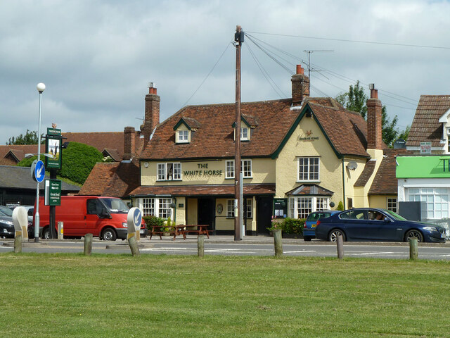
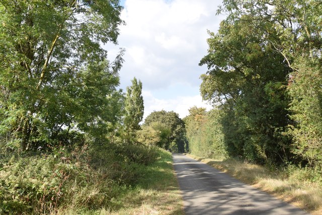
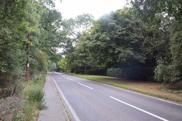
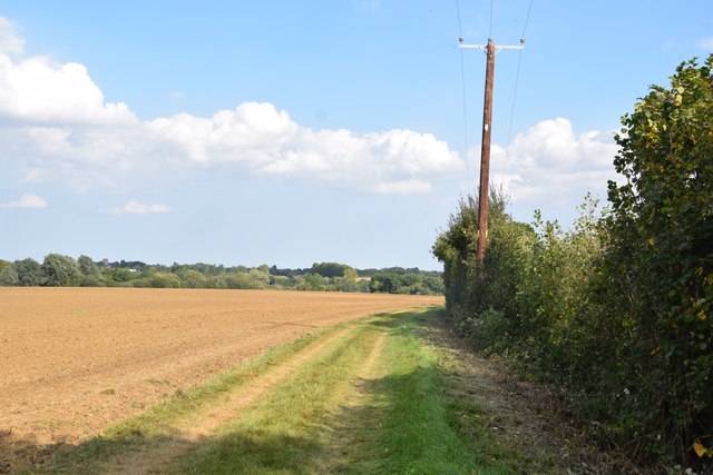
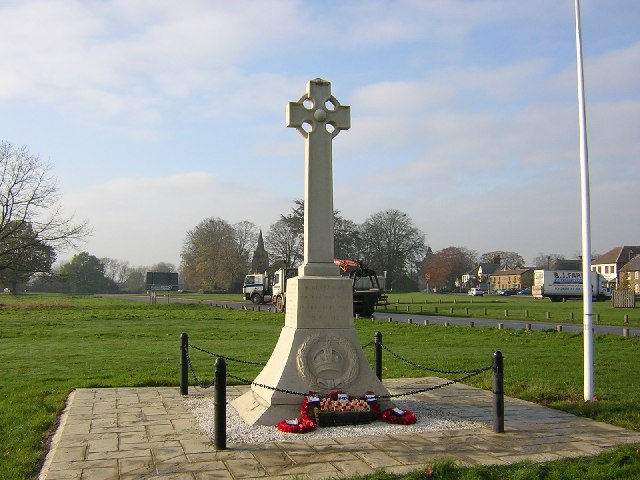
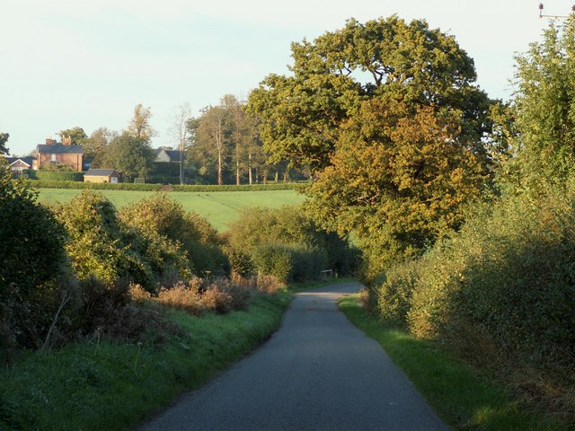
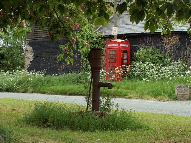
Hatfield Heath is a civil parish located in the district of Uttlesford, Essex, England. Situated approximately 20 miles northeast of London, it is a picturesque village surrounded by beautiful countryside and open green spaces.

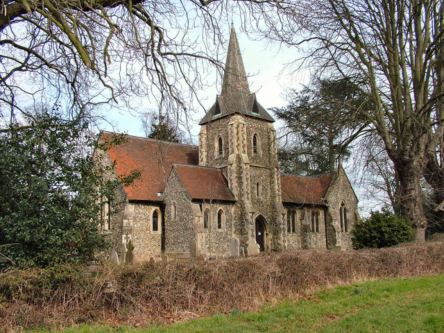
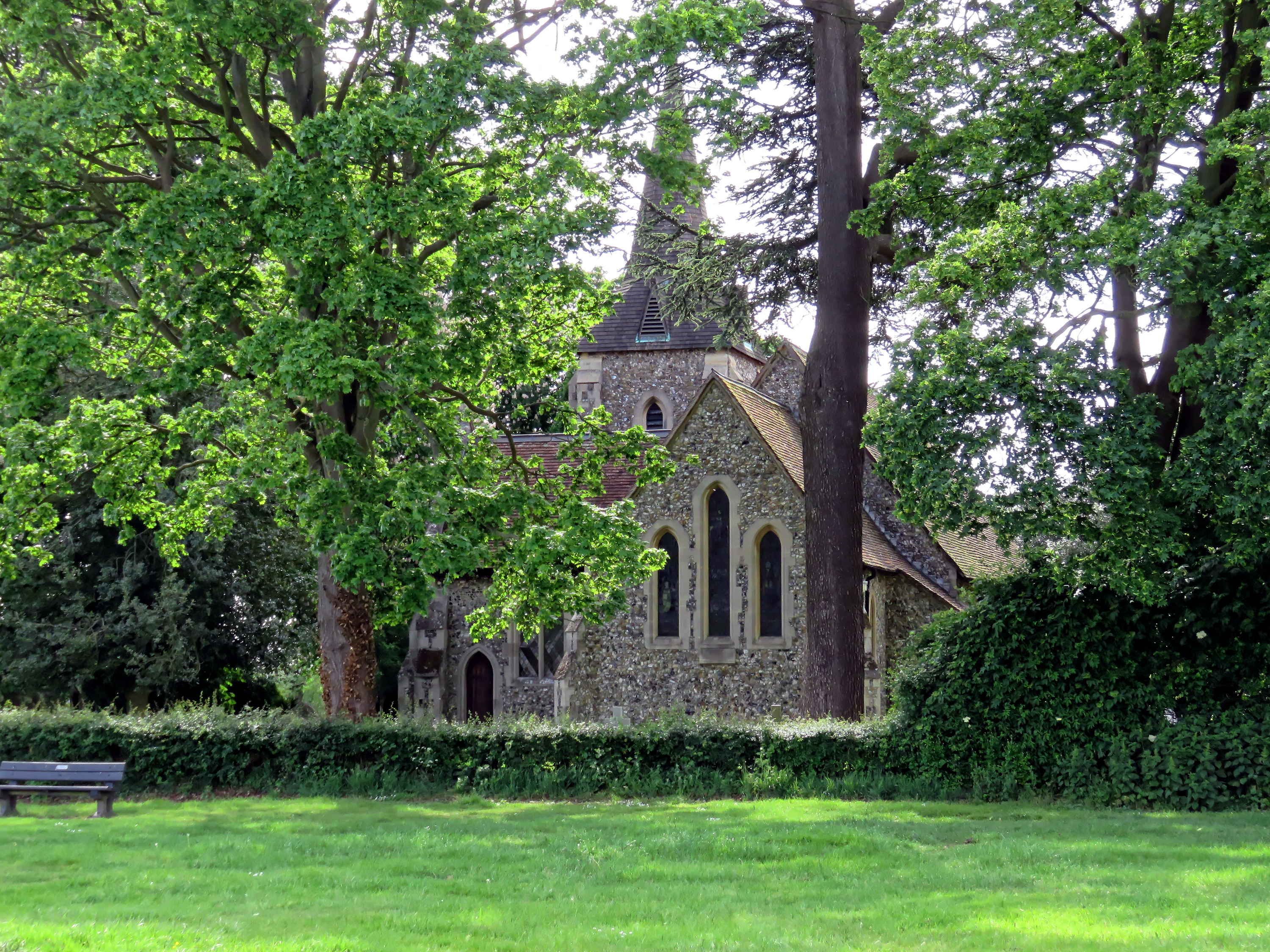
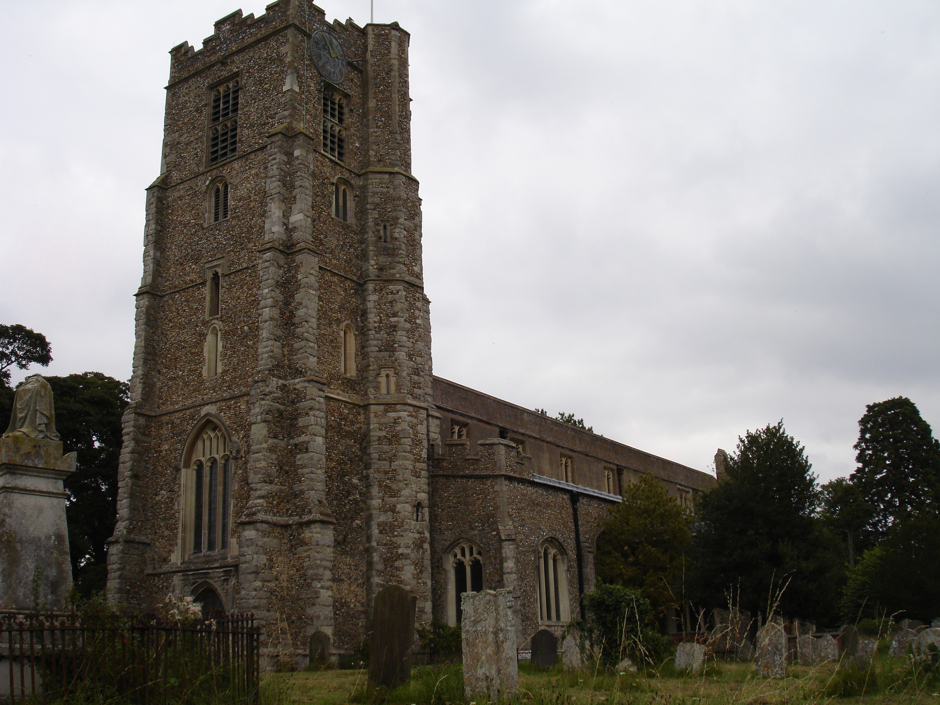
The village is mainly residential, with a population of around 2,500 people. Its history dates back to the medieval period, and it still retains much of its traditional charm with a mix of historic and modern architecture. The village center features a number of well-preserved timber-framed buildings, including the Grade II listed St. Mary's Church, which dates back to the 13th century.

Hatfield Heath is well-served by a range of amenities and facilities. There are several local shops, including a post office, convenience stores, and a pharmacy, providing essential services to the residents. The village also boasts a primary school, offering education for young children.

For recreational activities, Hatfield Heath offers a variety of options. The village has a sports and social club, providing facilities for football, cricket, tennis, and other outdoor sports. There are also several playgrounds and green spaces, making it an ideal place for families and outdoor enthusiasts.

The village enjoys good transport links, with easy access to major road networks like the M11 and A120, connecting it to nearby towns and cities. The nearest train station is in Sawbridgeworth, just a few miles away, providing regular services to London Liverpool Street and other destinations.

Overall, Hatfield Heath offers a peaceful and idyllic setting for residents, combining rural charm with convenient facilities and access to urban amenities.

If you have any feedback on the listing, please let us know in the comments section below.

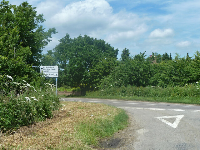
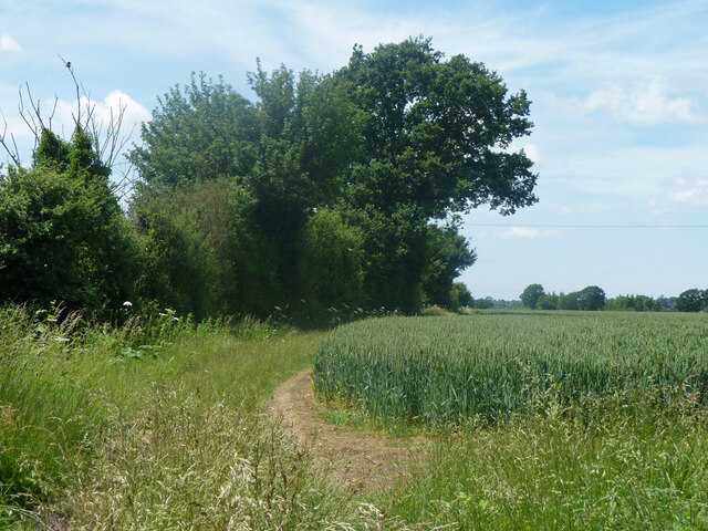
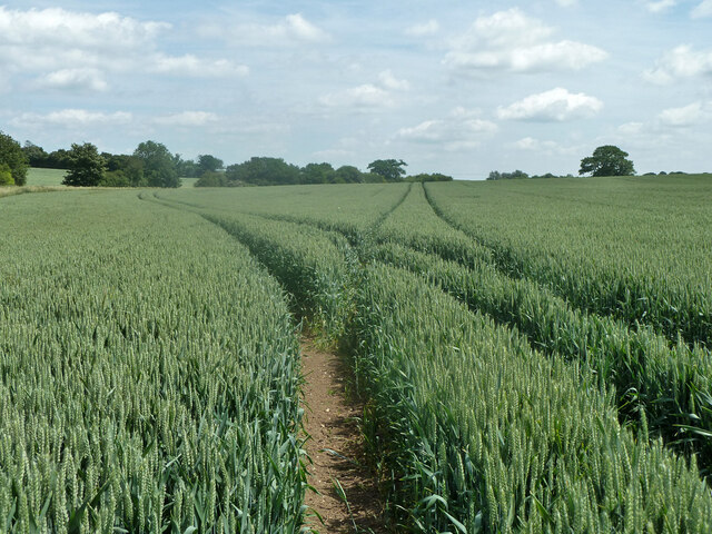
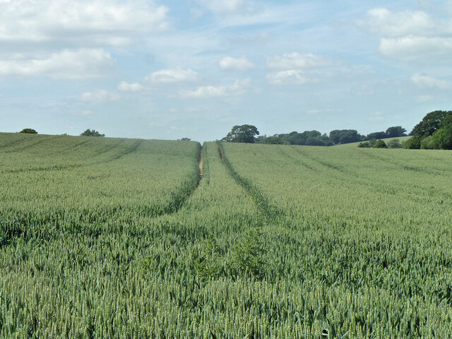
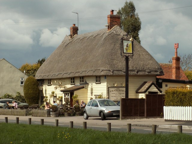
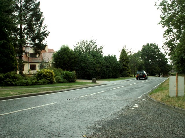
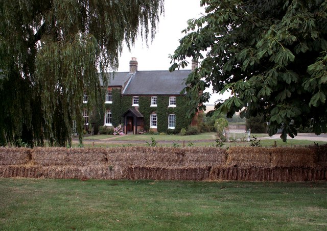
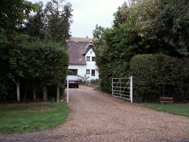
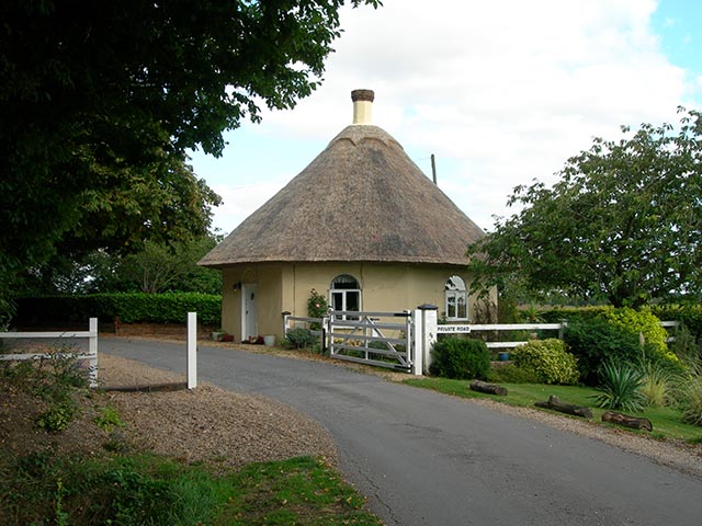
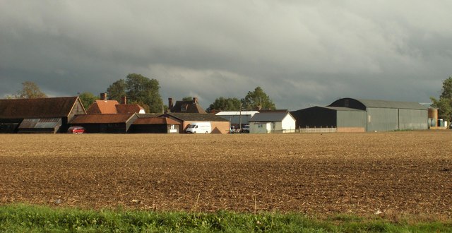
Hatfield Heath Images

Images are sourced within 2km of 51.808705/0.217416 or Grid Reference TL5214. Thanks to Geograph Open Source API. All images are credited.

Sparrows Lane meets A1060 Chelmsford Road The right turn up the main road to the left is plated Sparrow Lane, without an 's'.
Sparrows Lane meets A1060 Chelmsford Road
The right turn up the main road to the left is plated Sparrow Lane, without an 's'.
Hedgerow and field north of Grange Farm
Tractor tracks in the wheat The left hand branch is close to the mapped route of footpath Hatfield Heath 41, but may also be for agricultural purposes to cover the lower part of the field that has a curvaceous brook margin.
Tractor tracks in the wheat
The left hand branch is close to the mapped route of footpath Hatfield Heath 41, but may also be for agricultural purposes to cover the lower part of the field that has a curvaceous brook margin.
Tractor tracks in the wheat The well worn track looks as if it has been used for footpath Hatfield Heath 41,  but the mapped route is closer to the next pass to the right.
Tractor tracks in the wheat
The well worn track looks as if it has been used for footpath Hatfield Heath 41, but the mapped route is closer to the next pass to the right.
The White Horse, Hatfield Heath A grade II listed pub, early 17th century.
The White Horse, Hatfield Heath
A grade II listed pub, early 17th century.
Ryes Lane Looking north from near Corringales.
Ryes Lane
Looking north from near Corringales.
On the road to Hatfield Heath Near Town Grove.
On the road to Hatfield Heath
Near Town Grove.
Field and footpath  North of Hatfield Heath. If you are sharp-eyed you may be able to spot the tower of St Mary the Virgin at Hatfield Broad Oak - on the skyline towards the left.
Field and footpath
North of Hatfield Heath. If you are sharp-eyed you may be able to spot the tower of St Mary the Virgin at Hatfield Broad Oak - on the skyline towards the left.
War memorial at Hatfield Heath The war memorial is on the village green adjacent to the A1060 road.  The parish church is in the background (still in square TL5214).
War memorial at Hatfield Heath
The war memorial is on the village green adjacent to the A1060 road. The parish church is in the background (still in square TL5214).
Holy Trinity Church, Hatfield Heath
'The Thatchers', public house at Hatfield Heath, Essex This pub stands on Stortford Road to the west of the Heath.
'The Thatchers', public house at Hatfield Heath, Essex
This pub stands on Stortford Road to the west of the Heath.
The A.1060 at Hatfield Heath, Essex This is the only section of this road that lies in this grid square. It shows the road travelling away from Hatfield Heath towards Chelmsford.
The A.1060 at Hatfield Heath, Essex
This is the only section of this road that lies in this grid square. It shows the road travelling away from Hatfield Heath towards Chelmsford.
Friars, Hatfield Heath, Essex
Blocks, east of Hatfield Heath, Essex
The Round Lodge Situated at the entrance to a private road on the Forest Way.
The Round Lodge
Situated at the entrance to a private road on the Forest Way.
Shrubbs Farm, just east of Sheering, Essex
Town Farm near Hatfield Broad Oak, Essex Town Farm stands by the B.183 road at a section called Old Street Hill.
Town Farm near Hatfield Broad Oak, Essex
Town Farm stands by the B.183 road at a section called Old Street Hill.
Sparrow's Lane The house in the distance is called The Grange and stands just outside of this grid square.
Sparrow's Lane
The house in the distance is called The Grange and stands just outside of this grid square.
Show me another place!

Hatfield Heath is located at Grid Ref: TL5214 (Lat: 51.808705, Lng: 0.217416)

Administrative County: Essex

District: Uttlesford

Police Authority: Essex

What 3 Words

///scarf.reds.energy. Near Hatfield Heath, Essex

Related Wikis

Hatfield Heath

Hatfield Heath is a village, civil parish, and an electoral ward in the Uttlesford district of Essex, England, and at its west is close to the border with...

Ardley End

Ardley End is a hamlet in the Uttlesford area of Essex, England. It is approximately half a mile from the village of Hatfield Heath.

Down Hall

Down Hall is a Victorian country house and estate near Hatfield Heath in the English county of Essex, close to its border with Hertfordshire. It is surrounded...

Sheering

Sheering is a civil parish and village in the Epping Forest district of Essex, England. Sheering village is situated 2.8 miles (5 km) north-east from Harlow...

Newman's End

Newman's End is a hamlet in the civil parish of Matching, and the Epping Forest district of Essex, England. The hamlet, at the north of the parish, is...

Hatfield Broad Oak

Hatfield Broad Oak (also known as Hatfield Regis) is a village and civil parish in the Uttlesford district of Essex, England. The village is approximately...

Matching, Essex

Matching is a village and civil parish in the Epping Forest district of Essex, England centred in countryside 3 miles (4.8 km) east of Harlow's modern...

Hatfield Regis Priory

Hatfield Broad Oak Priory, or Hatfield Regis Priory, is a former Benedictine priory in Hatfield Broad Oak, Essex, England. Founded by 1139, it was dissolved...

Nearby Amenities

Located within 500m of 51.808705,0.217416
Bus Stop
Friars Lane
Bus: yes
Naptan AtcoCode: 150020011011
Naptan Bearing: E
Naptan CommonName: Friars Lane
Naptan Crossing: Friars Lane
Naptan Indicator: Opp
Naptan Landmark: Friars Lane
Naptan NaptanCode: esxdgmga
Naptan PlusbusZoneRef: BSHPSFD
Naptan Street: Chelmsford Road
Naptan Verified: no
Public Transport: platform
Source: naptan_import
Lat/Long: 51.8124293/0.2172788
Bus Stop
Friars Lane
Bus: yes
Naptan AtcoCode: 1500200110Y1
Naptan Bearing: W
Naptan CommonName: Friars Lane
Naptan Crossing: Friars Lane
Naptan Indicator: Adj
Naptan Landmark: Friars Lane
Naptan NaptanCode: esxgwtaj
Naptan PlusbusZoneRef: BSHPSFD
Naptan Street: Chelmsford Road
Naptan Verified: no
Public Transport: platform
Source: naptan_import
Lat/Long: 51.8123574/0.2172753
Police
Lat/Long: 51.8119863/0.2145062
Ardley End
Place: hamlet
Wikidata: Q4788173
Lat/Long: 51.8078897/0.2138522
Muchfield Common
Place: hamlet
Lat/Long: 51.8093362/0.222773
Power: pole
Lat/Long: 51.809385/0.216159
Power: pole
Lat/Long: 51.8097731/0.216808
Power: pole
Lat/Long: 51.8102142/0.2176234
Power: pole
Lat/Long: 51.8106586/0.2184925
Bentley Common
Leisure: common
Lat/Long: 51.8067169/0.2160307
The data included in this document is from www.openstreetmap.org. The data is made available under ODbL.

Have you been to Hatfield Heath?

Leave your review of Hatfield Heath below (or comments, questions and feedback).