Heath Common
Downs, Moorland in Essex Uttlesford
England
Heath Common
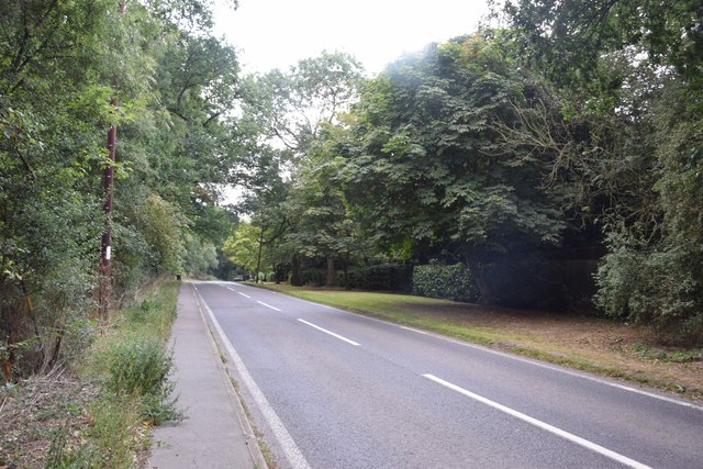
Heath Common is a picturesque area located in Essex, England. Nestled amidst the stunning countryside, it is known for its expansive downs and moorland. Covering a vast area, Heath Common offers visitors a chance to immerse themselves in the beauty of nature.
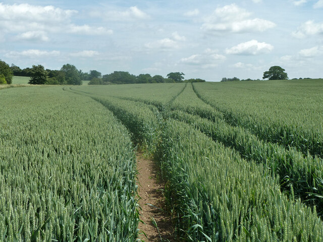
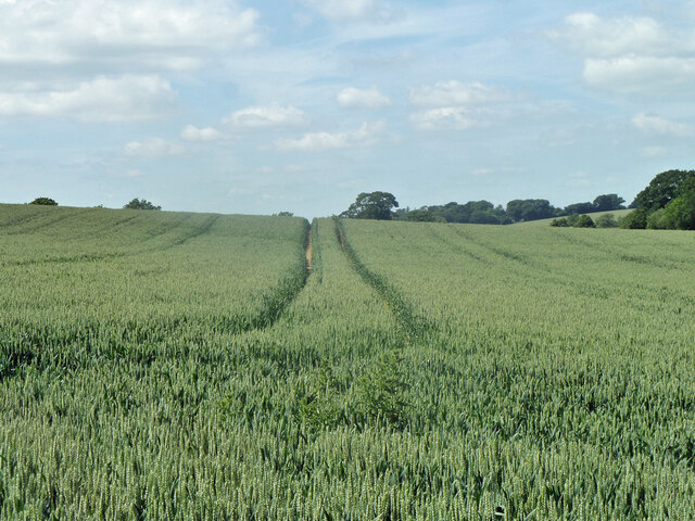
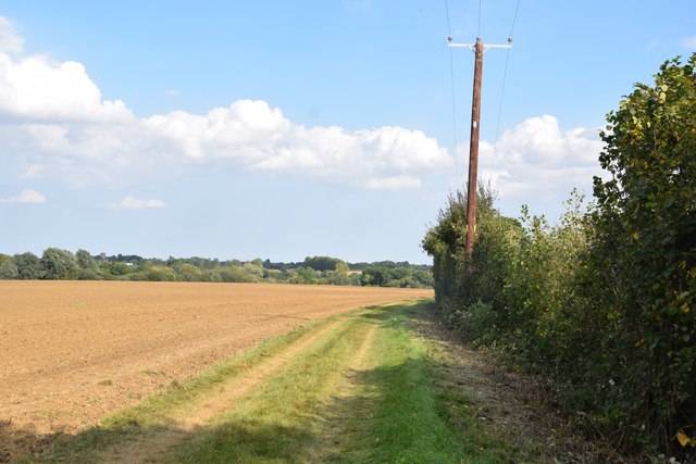
The common is characterized by its rolling hills, open grasslands, and heathland vegetation. It is home to a diverse range of plant and animal species, making it a haven for wildlife enthusiasts and nature lovers. Visitors can spot an array of birds, butterflies, and wildflowers as they explore the common.
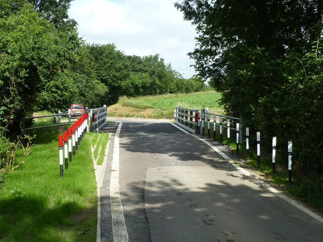
Heath Common offers numerous walking trails, allowing visitors to explore its breathtaking landscapes. The trails cater to all levels of fitness and range from shorter, leisurely strolls to longer, more challenging hikes. Along the way, walkers can enjoy stunning views of the surrounding countryside, including glimpses of nearby villages and farmland.
The common also has designated picnic areas, providing the perfect spot for visitors to relax and enjoy a meal surrounded by nature. Additionally, it offers ample opportunities for photography, with its natural beauty serving as a picturesque backdrop.
Heath Common is a popular destination for outdoor activities such as horse riding, cycling, and orienteering. The variety of terrain and the extensive network of paths make it an ideal location for these pursuits.
Overall, Heath Common is a tranquil and scenic area that offers visitors a chance to escape the hustle and bustle of everyday life and immerse themselves in the beauty of the English countryside.
If you have any feedback on the listing, please let us know in the comments section below.
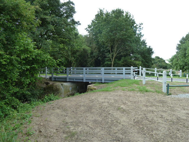
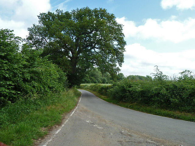
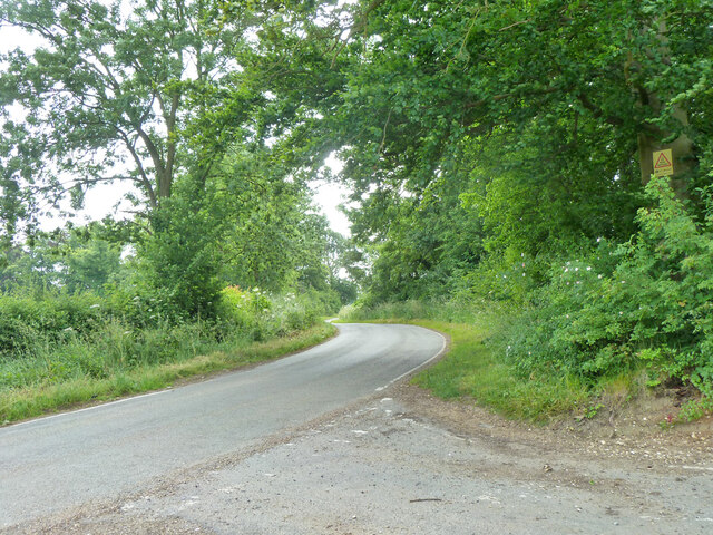
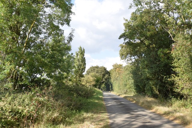
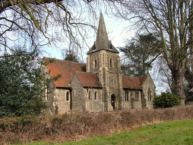
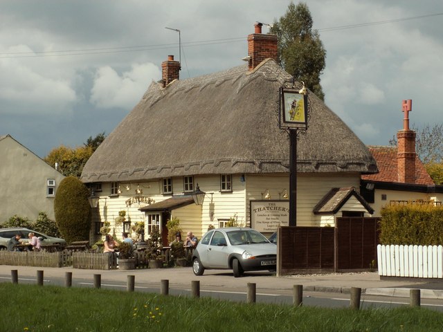
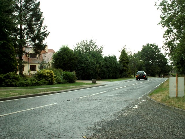
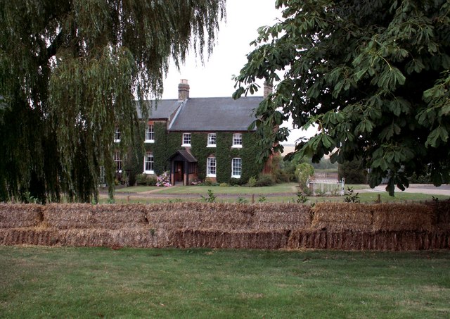
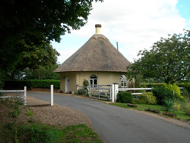
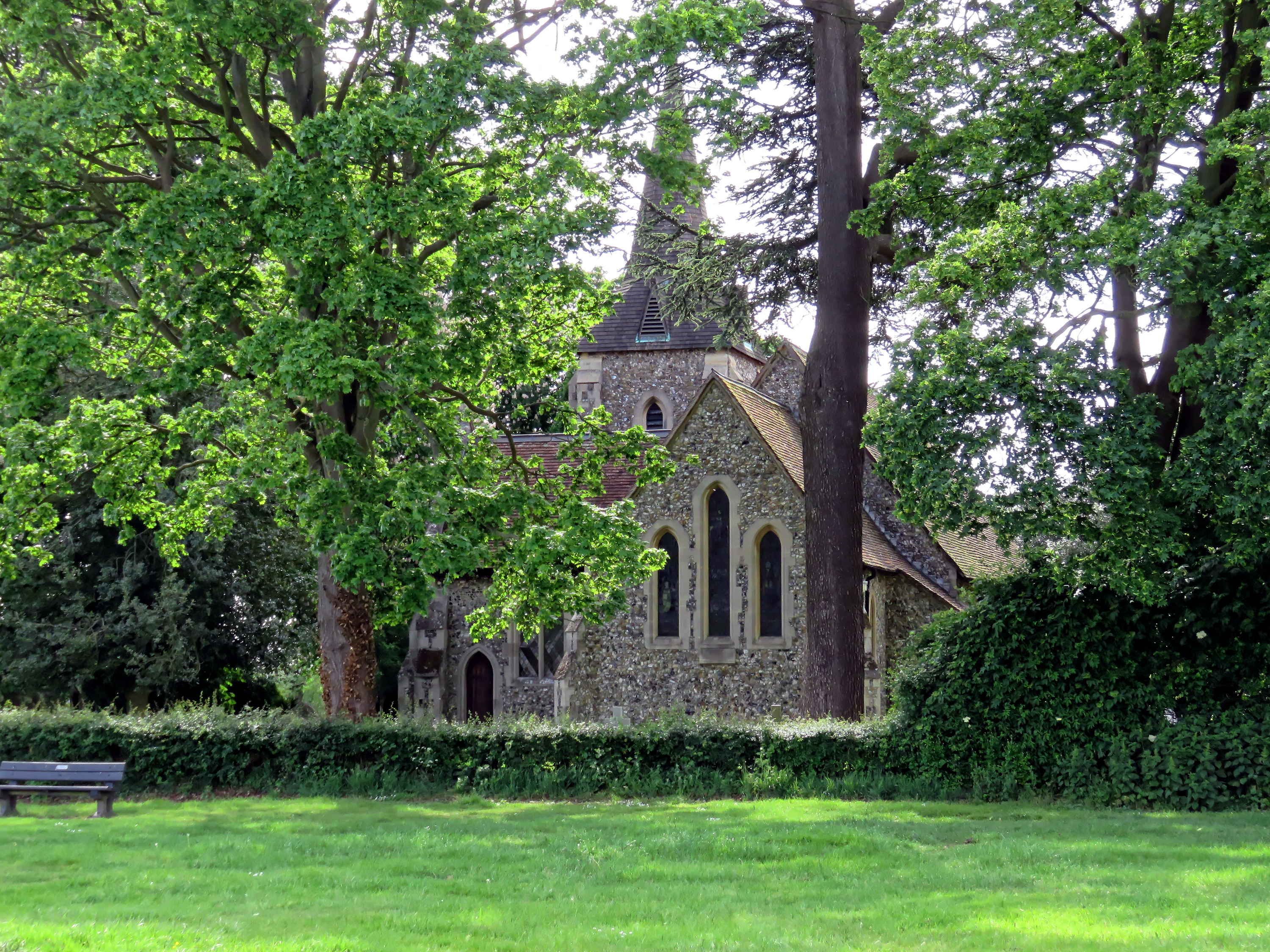
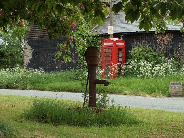
Heath Common Images
Images are sourced within 2km of 51.807538/0.20982804 or Grid Reference TL5214. Thanks to Geograph Open Source API. All images are credited.

Heath Common is located at Grid Ref: TL5214 (Lat: 51.807538, Lng: 0.20982804)
Administrative County: Essex
District: Uttlesford
Police Authority: Essex
What 3 Words
///march.chef.forgot. Near Hatfield Heath, Essex
Nearby Locations
Related Wikis
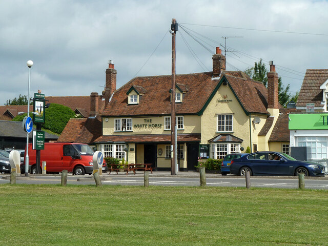
Hatfield Heath
Hatfield Heath is a village, civil parish, and an electoral ward in the Uttlesford district of Essex, England, and at its west is close to the border with...

Ardley End
Ardley End is a hamlet in the Uttlesford area of Essex, England. It is approximately half a mile from the village of Hatfield Heath.

Down Hall
Down Hall is a Victorian country house and estate near Hatfield Heath in the English county of Essex, close to its border with Hertfordshire. It is surrounded...

Sheering
Sheering is a civil parish and village in the Epping Forest district of Essex, England. Sheering village is situated 2.8 miles (5 km) north-east from Harlow...
Newman's End
Newman's End is a hamlet in the civil parish of Matching, and the Epping Forest district of Essex, England. The hamlet, at the north of the parish, is...

Matching, Essex
Matching is a village and civil parish in the Epping Forest district of Essex, England centred in countryside 3 miles (4.8 km) east of Harlow's modern...

Manwood Green
Manwood Green is a hamlet in the Uttlesford district, in the county of Essex. Manwood Green was Man(e)wode(s)grene in 1272.It is on Sparrows Lane (a minor...

Hatfield Broad Oak
Hatfield Broad Oak (also known as Hatfield Regis) is a village and civil parish in the Uttlesford district of Essex, England. The village is approximately...
Nearby Amenities
Located within 500m of 51.807538,0.20982804Have you been to Heath Common?
Leave your review of Heath Common below (or comments, questions and feedback).