Ardley End

Settlement in Essex Uttlesford

England

Ardley End

Sparrows Lane meets A1060 Chelmsford Road The right turn up the main road to the left is plated Sparrow Lane, without an 's'.
Sparrows Lane meets A1060 Chelmsford Road Credit: Robin Webster

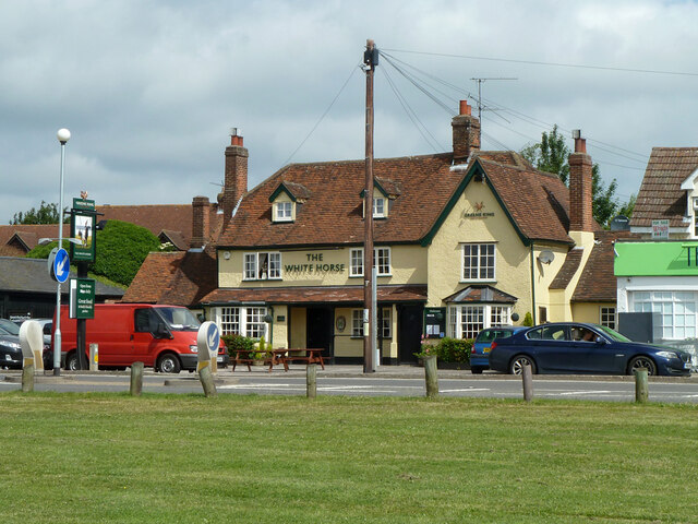
Ardley End is a small village located in the county of Essex, England. Situated approximately 5 miles northwest of the town of Harlow, it is a rural area known for its picturesque landscapes and charming countryside. The village is part of the Epping Forest district and falls within the civil parish of Waltham Abbey.

Ardley End is home to a tight-knit community, with a population of around 500 residents. The village is characterized by its traditional English architecture, with many historic buildings and thatched cottages lining the streets. The area has managed to retain its rustic charm and offers a peaceful and idyllic setting for residents and visitors alike.

The village is surrounded by beautiful natural scenery, with rolling hills, meadows, and woodlands nearby. Ardley End is also known for its proximity to the Epping Forest, a vast ancient woodland that provides ample opportunities for outdoor activities such as hiking, cycling, and horse riding.

Despite its rural location, Ardley End benefits from good transport links. The nearby town of Harlow offers connections to major cities such as London, Cambridge, and Stansted Airport. Additionally, the village is well-connected by road, with the M11 motorway just a short drive away.

Ardley End is a peaceful and picturesque village that appeals to those seeking a tranquil rural lifestyle without being too far from urban amenities. With its natural beauty, rich history, and strong sense of community, Ardley End offers a quintessentially English countryside experience.

If you have any feedback on the listing, please let us know in the comments section below.
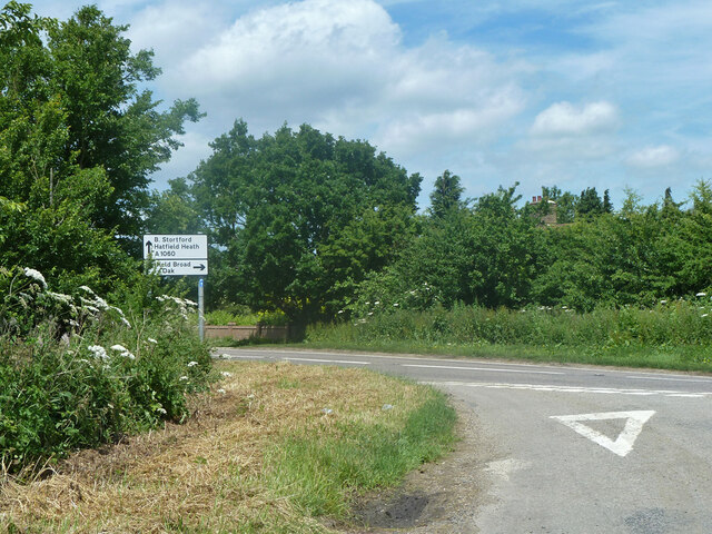
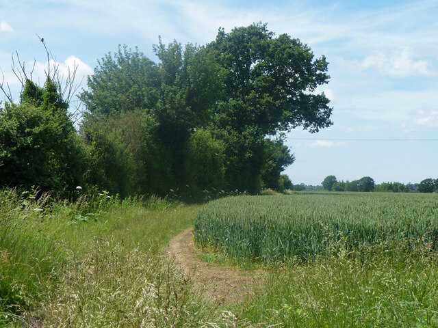
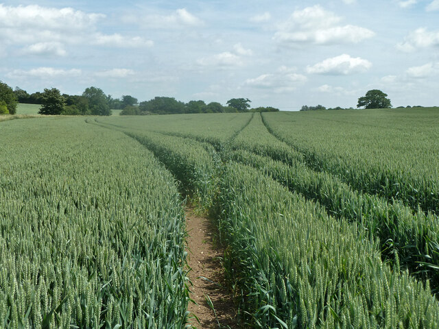
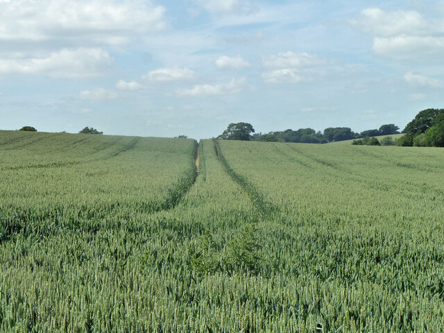
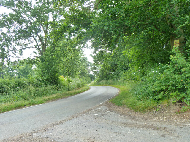
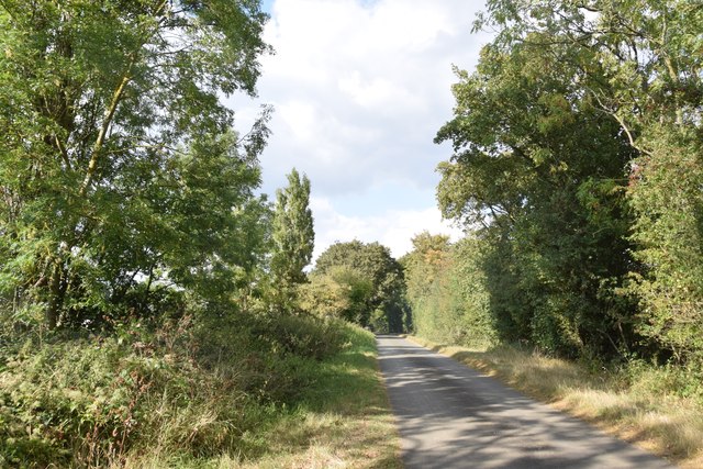
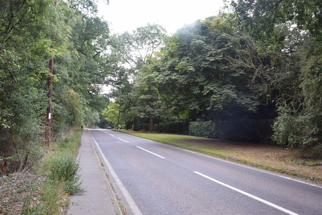
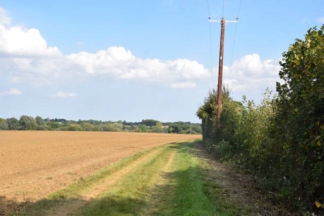
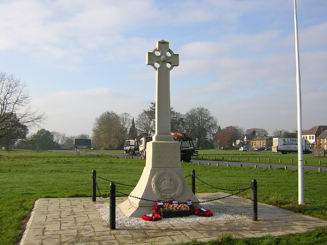
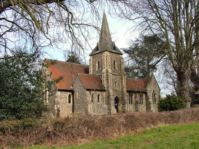
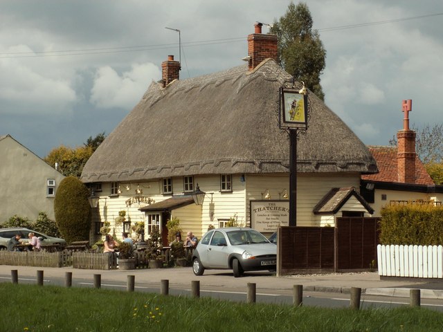
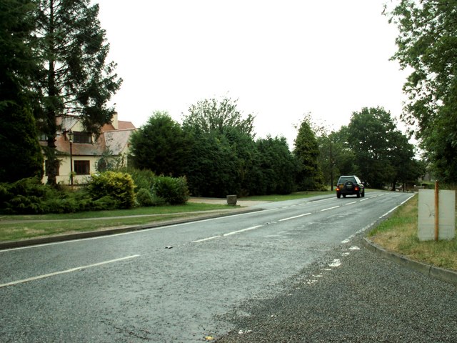
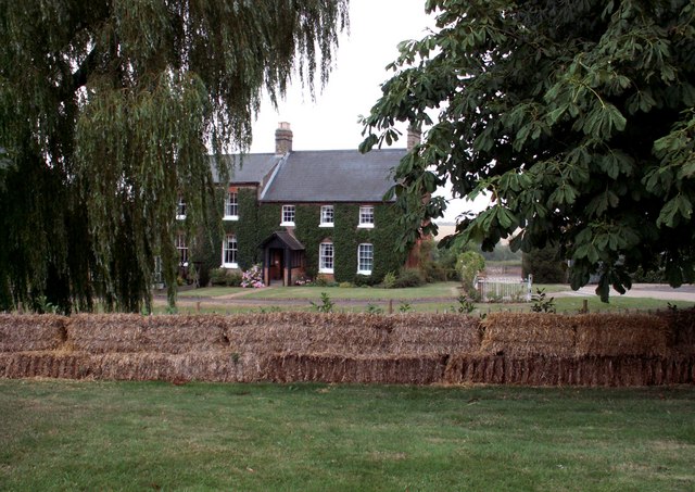
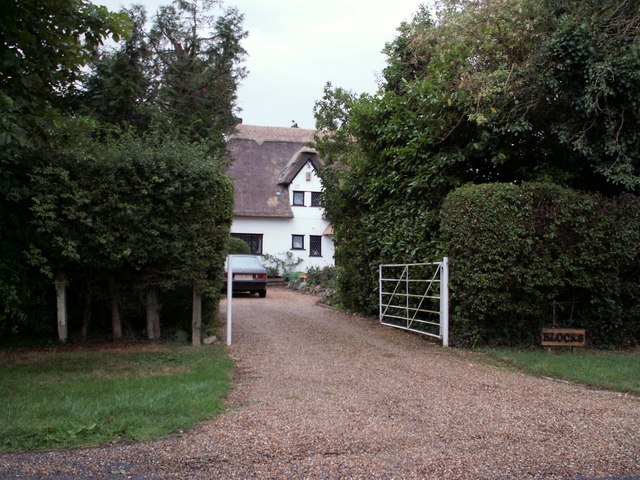
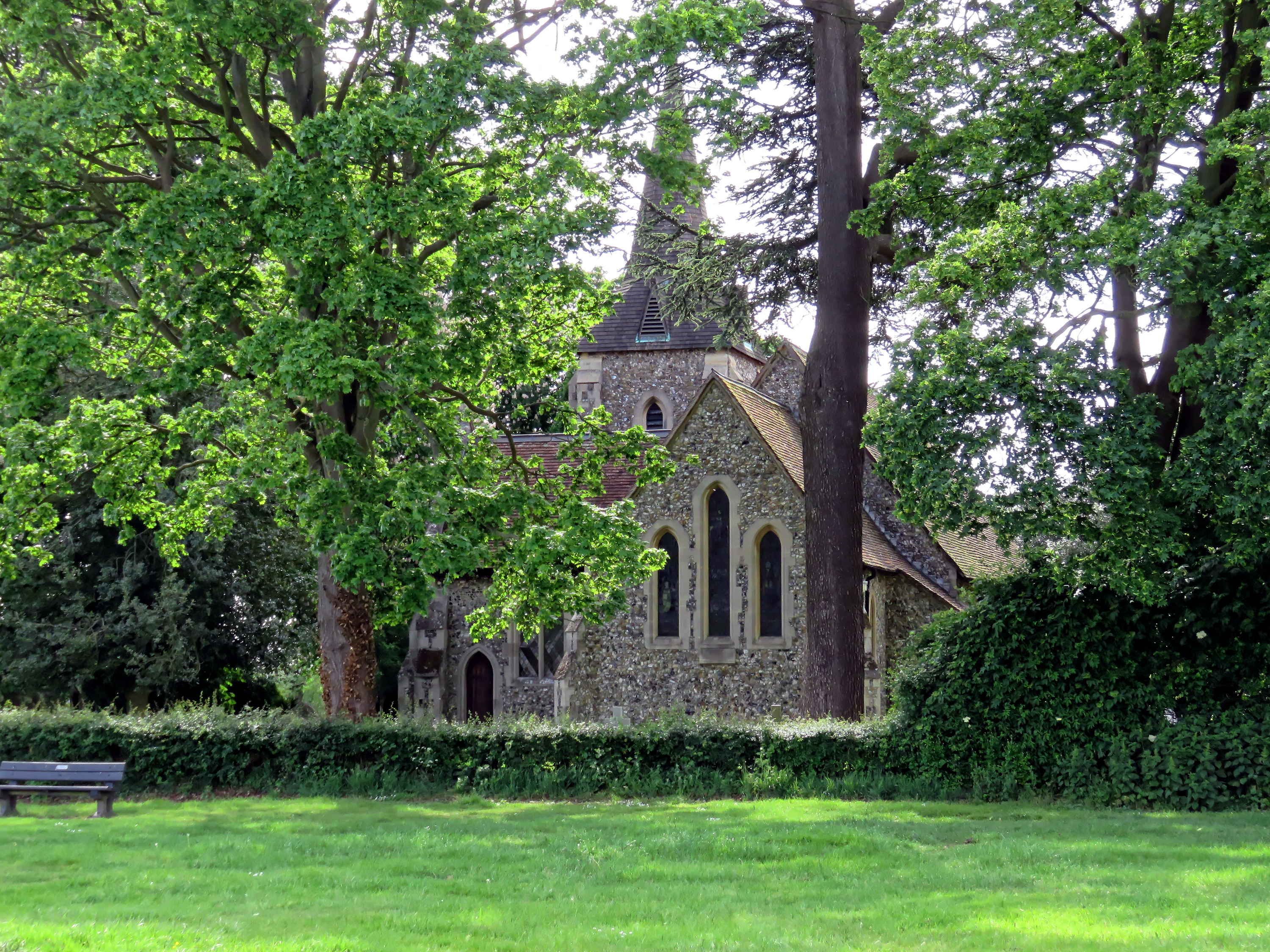
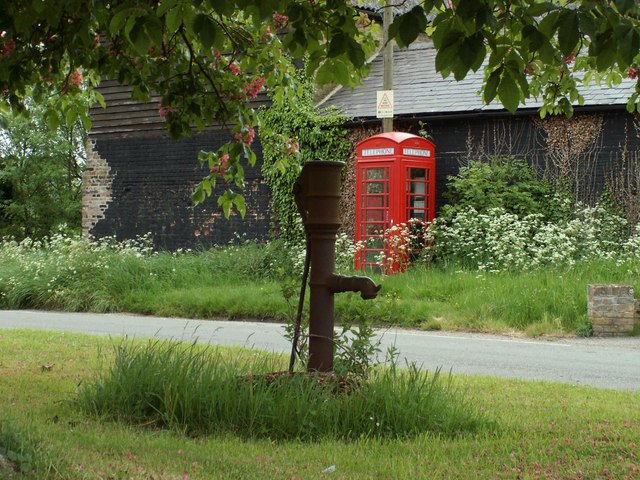
Ardley End Images

Images are sourced within 2km of 51.805965/0.214888 or Grid Reference TL5214. Thanks to Geograph Open Source API. All images are credited.

Sparrows Lane meets A1060 Chelmsford Road The right turn up the main road to the left is plated Sparrow Lane, without an 's'.
Sparrows Lane meets A1060 Chelmsford Road
The right turn up the main road to the left is plated Sparrow Lane, without an 's'.
Hedgerow and field north of Grange Farm
Tractor tracks in the wheat The left hand branch is close to the mapped route of footpath Hatfield Heath 41, but may also be for agricultural purposes to cover the lower part of the field that has a curvaceous brook margin.
Tractor tracks in the wheat
The left hand branch is close to the mapped route of footpath Hatfield Heath 41, but may also be for agricultural purposes to cover the lower part of the field that has a curvaceous brook margin.
Tractor tracks in the wheat The well worn track looks as if it has been used for footpath Hatfield Heath 41,  but the mapped route is closer to the next pass to the right.
Tractor tracks in the wheat
The well worn track looks as if it has been used for footpath Hatfield Heath 41, but the mapped route is closer to the next pass to the right.
The White Horse, Hatfield Heath A grade II listed pub, early 17th century.
The White Horse, Hatfield Heath
A grade II listed pub, early 17th century.
The new Sheering Bridge Officially opened on 5th June 2013, three weeks before this view. The original abutments remain, but the new span is much larger, extending to new supports behind them. This is perhaps to give long term erosion protection to the new structural elements. Pincey Brook is crossed.
The new Sheering Bridge
Officially opened on 5th June 2013, three weeks before this view. The original abutments remain, but the new span is much larger, extending to new supports behind them. This is perhaps to give long term erosion protection to the new structural elements. Pincey Brook is crossed.
Church Lane north of junction with High Lane, 2013 The large oak is now a mostly dead stump.
Church Lane north of junction with High Lane, 2013
The large oak is now a mostly dead stump.
Church Lane south of junction with High Lane
Ryes Lane Looking north from near Corringales.
Ryes Lane
Looking north from near Corringales.
On the road to Hatfield Heath Near Town Grove.
On the road to Hatfield Heath
Near Town Grove.
Field and footpath  North of Hatfield Heath. If you are sharp-eyed you may be able to spot the tower of St Mary the Virgin at Hatfield Broad Oak - on the skyline towards the left.
Field and footpath
North of Hatfield Heath. If you are sharp-eyed you may be able to spot the tower of St Mary the Virgin at Hatfield Broad Oak - on the skyline towards the left.
War memorial at Hatfield Heath The war memorial is on the village green adjacent to the A1060 road.  The parish church is in the background (still in square TL5214).
War memorial at Hatfield Heath
The war memorial is on the village green adjacent to the A1060 road. The parish church is in the background (still in square TL5214).
Holy Trinity Church, Hatfield Heath
'The Thatchers', public house at Hatfield Heath, Essex This pub stands on Stortford Road to the west of the Heath.
'The Thatchers', public house at Hatfield Heath, Essex
This pub stands on Stortford Road to the west of the Heath.
The A.1060 at Hatfield Heath, Essex This is the only section of this road that lies in this grid square. It shows the road travelling away from Hatfield Heath towards Chelmsford.
The A.1060 at Hatfield Heath, Essex
This is the only section of this road that lies in this grid square. It shows the road travelling away from Hatfield Heath towards Chelmsford.
Friars, Hatfield Heath, Essex
Blocks, east of Hatfield Heath, Essex
Show me another place!

Ardley End is located at Grid Ref: TL5214 (Lat: 51.805965, Lng: 0.214888)

Administrative County: Essex

District: Uttlesford

Police Authority: Essex

What 3 Words

///violin.comic.cube. Near Hatfield Heath, Essex

Related Wikis

Ardley End

Ardley End is a hamlet in the Uttlesford area of Essex, England. It is approximately half a mile from the village of Hatfield Heath.

Hatfield Heath

Hatfield Heath is a village, civil parish, and an electoral ward in the Uttlesford district of Essex, England, and at its west is close to the border with...

Down Hall

Down Hall is a Victorian country house and estate near Hatfield Heath in the English county of Essex, close to its border with Hertfordshire. It is surrounded...

Newman's End

Newman's End is a hamlet in the civil parish of Matching, and the Epping Forest district of Essex, England. The hamlet, at the north of the parish, is...

Nearby Amenities

Located within 500m of 51.805965,0.214888
Ardley End
Place: hamlet
Wikidata: Q4788173
Lat/Long: 51.8078897/0.2138522
Power: pole
Lat/Long: 51.809385/0.216159
Power: pole
Lat/Long: 51.8097731/0.216808
Bentley Common
Leisure: common
Lat/Long: 51.8067169/0.2160307
The data included in this document is from www.openstreetmap.org. The data is made available under ODbL.

Have you been to Ardley End?

Leave your review of Ardley End below (or comments, questions and feedback).