Ardley
Settlement in Oxfordshire Cherwell
England
Ardley
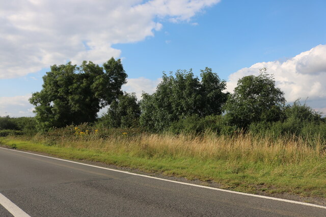
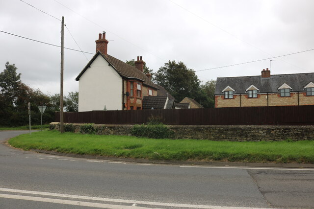
Ardley is a small village located in the Cherwell district of Oxfordshire, England. Situated approximately 7 miles north of Bicester, it is nestled in the rural countryside, surrounded by picturesque landscapes and farmland. The village is home to around 500 residents and offers a tranquil and close-knit community atmosphere.
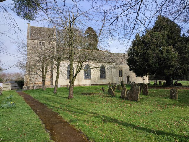
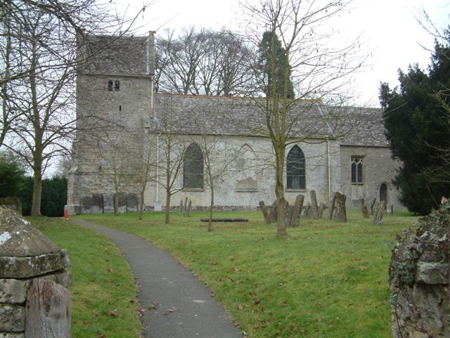
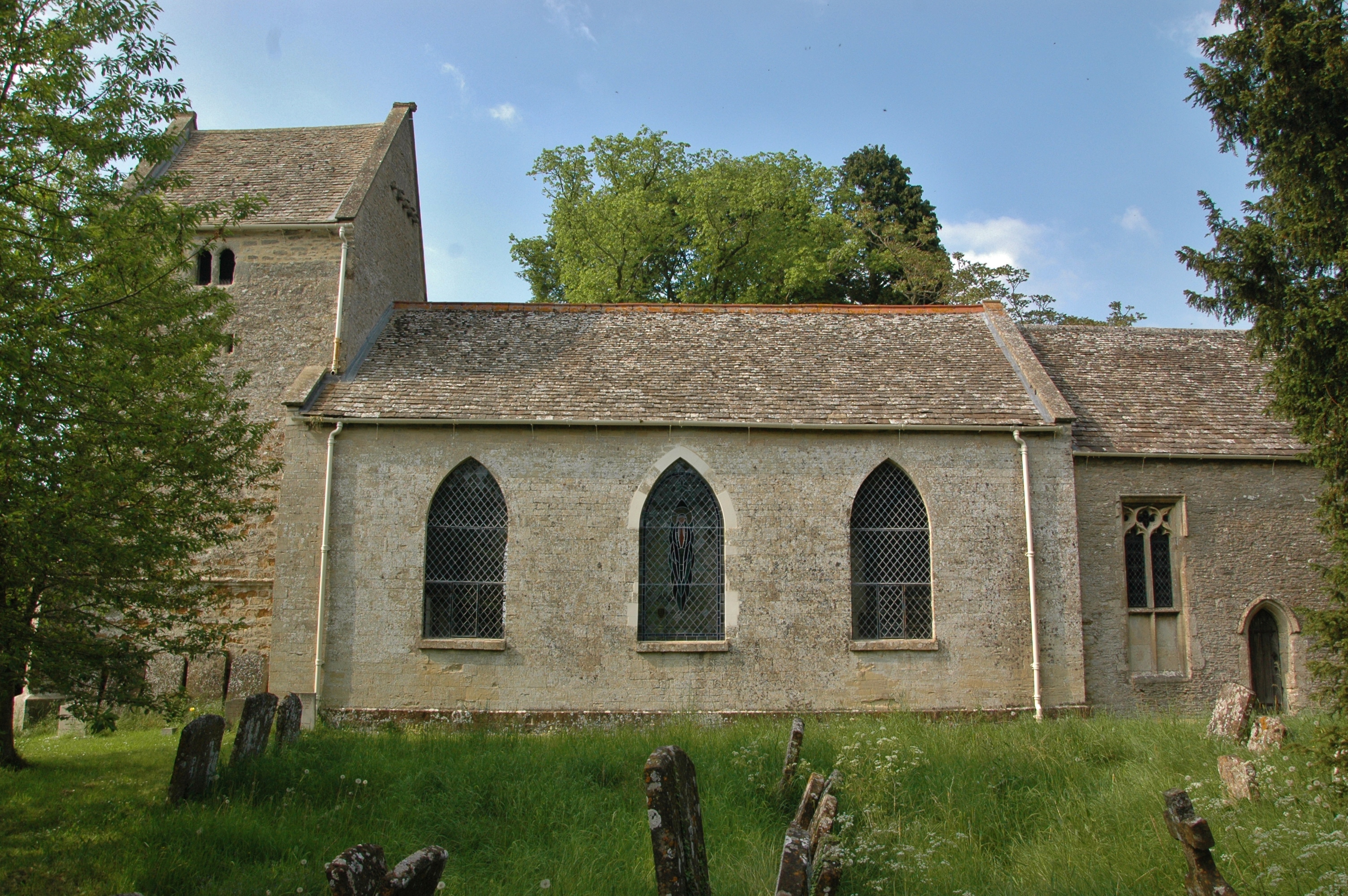
Ardley's history dates back to the Domesday Book in 1086, where it was recorded as "Erdlei." Over the centuries, the village has retained its rural charm, with traditional stone cottages and a scattering of modern houses. The village features a beautiful 12th-century church, St. Mary the Virgin, which adds to its historic appeal.
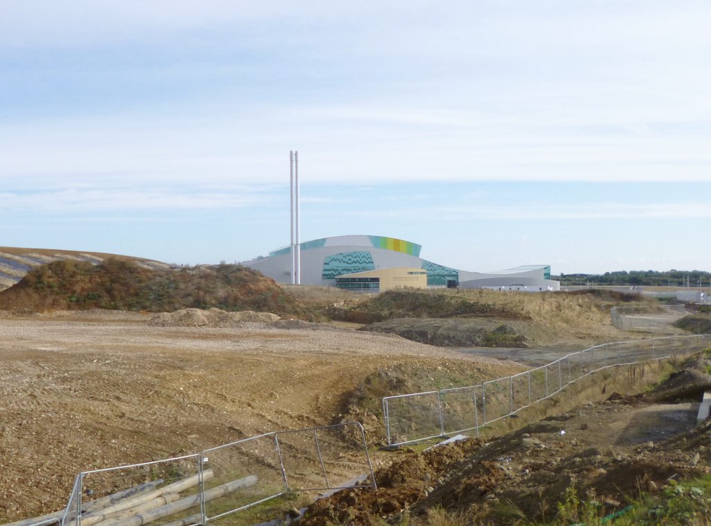
While Ardley is primarily an agricultural village, it is also known for its proximity to the Ardley Energy Recovery Facility. This modern waste-to-energy plant, operated by Viridor, plays a crucial role in managing Oxfordshire's waste and generating sustainable electricity for the region.
The village lacks many amenities, with no shops or pubs, but nearby towns like Bicester and Kidlington provide easy access to essential services. Ardley has a primary school, Ardley Hill Academy, ensuring educational facilities for young children within the village.
Ardley benefits from its rural location, offering a peaceful retreat from urban life while still being within commuting distance of larger towns and cities. Its beautiful countryside surroundings and close community make it an attractive place to live for those seeking a quieter lifestyle.
If you have any feedback on the listing, please let us know in the comments section below.
Ardley Images
Images are sourced within 2km of 51.94171/-1.211923 or Grid Reference SP5427. Thanks to Geograph Open Source API. All images are credited.


Ardley is located at Grid Ref: SP5427 (Lat: 51.94171, Lng: -1.211923)
Administrative County: Oxfordshire
District: Cherwell
Police Authority: Thames Valley
What 3 Words
///martini.tailwind.perfumes. Near Somerton, Oxfordshire
Nearby Locations
Related Wikis
Ardley, Oxfordshire
Ardley is a village and civil parish in Oxfordshire, England, about 4 miles (6.4 km) northwest of Bicester. The parish includes the village of Fewcott...

Ardley Castle
Ardley Castle was a castle to the southwest of the village of Ardley, Oxfordshire, England. At present only some of its ruins, most notably an oval enclosure...
Bicester Town F.C.
Bicester Town Football Club is a football club based in Bicester, Oxfordshire, England. == History == The club was established in 1873, a merger of Bicester...
Ardley United F.C.
Ardley United Football Club is a football club based in Ardley, near Bicester in Oxfordshire, England. They are members of the Combined Counties League...
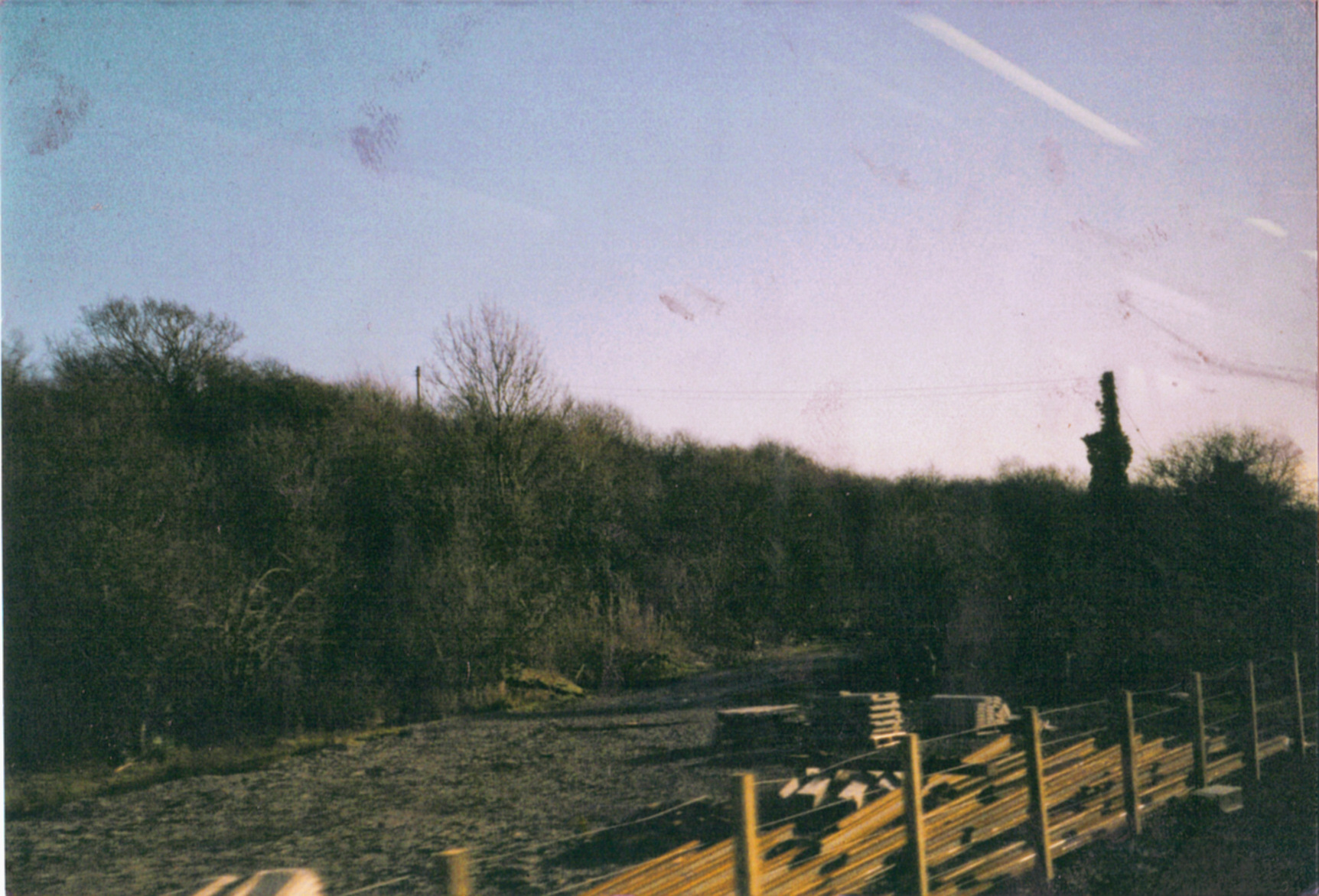
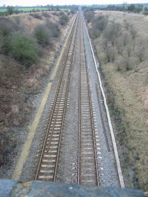
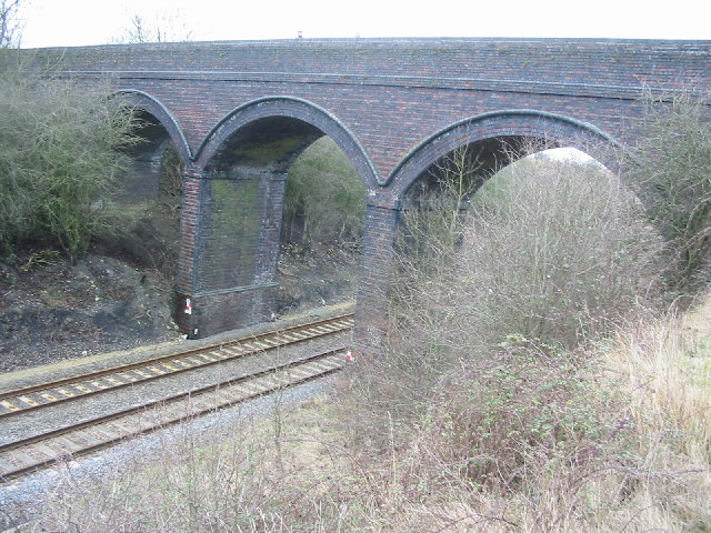
Ardley railway station
Ardley railway station was a railway station serving the village of Ardley in Oxfordshire, England. It was on what is now known as the Chiltern Main Line...

Ardley Cutting and Quarry
Ardley Cutting and Quarry is a 40.1-hectare (99-acre) biological and geological Site of Special Scientific Interest north-west of Bicester in Oxfordshire...

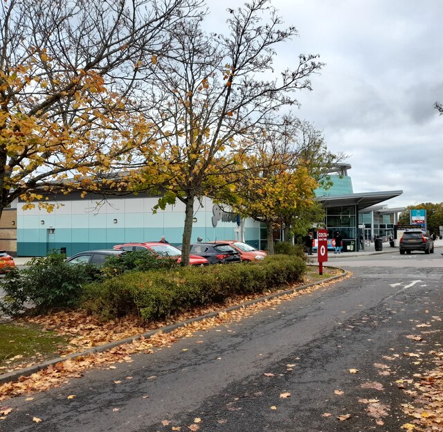
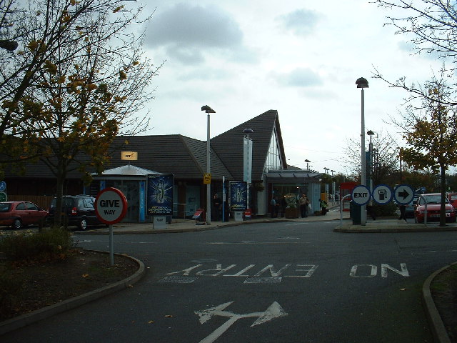
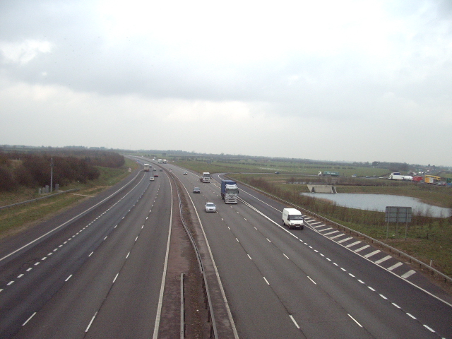
Cherwell Valley services
Cherwell Valley services is a motorway service station on the M40 motorway at Stoke Lyne, near Bicester, in Oxfordshire, England. In August 2011 it was...
Ardley Trackways
Ardley Trackways is a 63.6-hectare (157-acre) geological Site of Special Scientific Interest north-west of Bicester in Oxfordshire. It is a Geological...
Nearby Amenities
Located within 500m of 51.94171,-1.211923Have you been to Ardley?
Leave your review of Ardley below (or comments, questions and feedback).