Ardler

Settlement in Perthshire

Scotland

Ardler

Naked polytunnels Polytunnels under construction, viewed from the A94 opposite Viewbank.
Naked polytunnels Credit: Scott Cormie

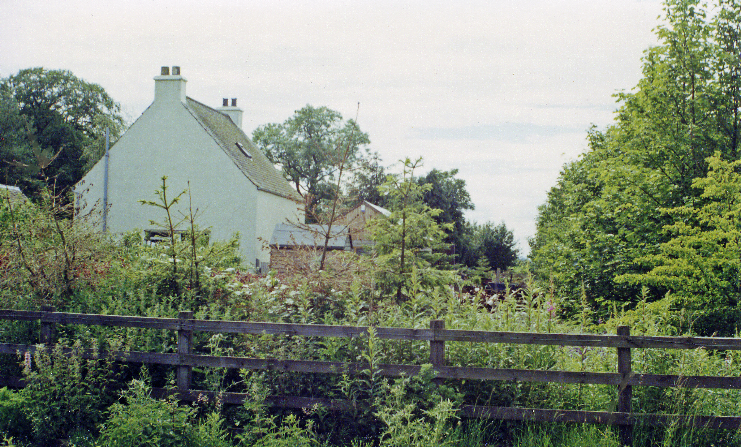
Ardler is a small village located in Perthshire, Scotland. Situated approximately 5 miles northeast of the city of Perth, Ardler is a rural community that offers residents a peaceful and picturesque setting.

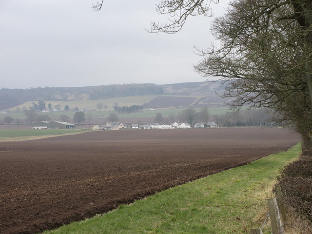
Surrounded by rolling hills and farmland, Ardler is known for its stunning natural beauty. The village is situated near the River Ardler, which provides a scenic backdrop for the area. The countryside surrounding Ardler is popular for outdoor activities such as hiking, fishing, and birdwatching.

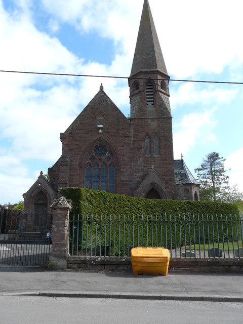
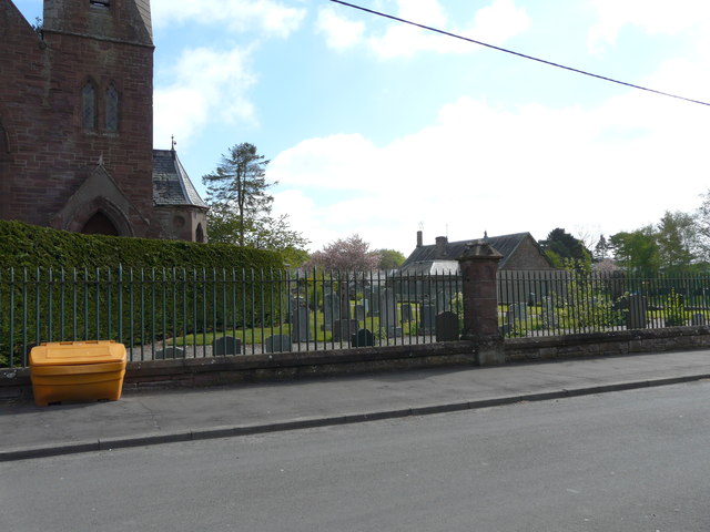
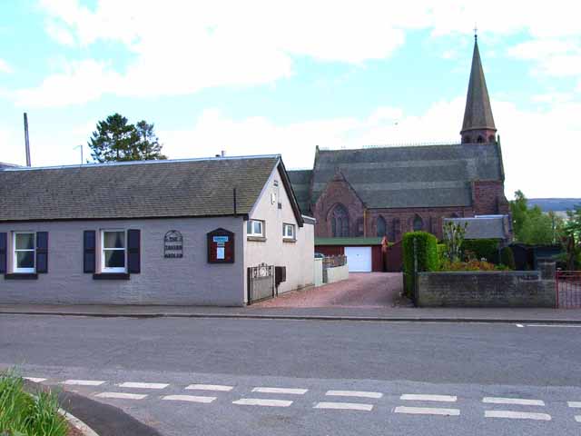
Despite its small size, Ardler has a close-knit community with a friendly and welcoming atmosphere. The village features a local primary school, church, and a community center, providing essential services and facilities for its residents. Additionally, there is a small convenience store that caters to the daily needs of the community.

Historically, Ardler has been an agricultural area, with farming being a significant part of the local economy. Although the village has seen some modernization in recent years, it still retains its rural charm and character.

Ardler is well-connected to surrounding areas, with regular bus services providing transportation links to Perth and other nearby towns. The village's proximity to Perth offers residents access to a wider range of amenities, including shopping centers, restaurants, and leisure facilities.

In summary, Ardler is a peaceful and picturesque village in Perthshire, Scotland. With its beautiful natural surroundings and close community spirit, it provides a tranquil retreat for those seeking a countryside lifestyle.

If you have any feedback on the listing, please let us know in the comments section below.

Ardler Images

Images are sourced within 2km of 56.563518/-3.199911 or Grid Reference NO2641. Thanks to Geograph Open Source API. All images are credited.

Naked polytunnels Polytunnels under construction, viewed from the A94 opposite Viewbank.
Naked polytunnels
Polytunnels under construction, viewed from the A94 opposite Viewbank.
Raspberry cultivation in Strathmore Raspberries are grown undercover in polytunnels by the A94 at Stobcross.
Raspberry cultivation in Strathmore
Raspberries are grown undercover in polytunnels by the A94 at Stobcross.
Raspberries in Strathmore Growing in one of many polytunnels by the Forfar Road [A94]. I'm not sure if each plant is dependant on the soil in its pot, or if it is grown through to the soil below. It was a sunny day and the shade temperature was about 24-25C, but the air wafting up the hillside, and out at the top of the tunnel, was much hotter.
Raspberries in Strathmore
Growing in one of many polytunnels by the Forfar Road [A94]. I'm not sure if each plant is dependant on the soil in its pot, or if it is grown through to the soil below. It was a sunny day and the shade temperature was about 24-25C, but the air wafting up the hillside, and out at the top of the tunnel, was much hotter.
Polytunnels in Strathmore With a raspberry crop inside <a href="https://www.geograph.org.uk/photo/7522634">NO2442 : Raspberries in Strathmore</a>. Looking northwest across Strathmore, the broad valley of the River Isla.
Polytunnels in Strathmore
With a raspberry crop inside NO2442 : Raspberries in Strathmore. Looking northwest across Strathmore, the broad valley of the River Isla.
Winter crop and winter trees by the A94
Minor road crossing the vale of the River Isla
Harvested Field Near Longleys
Ardler Church and Spire The old church in the village of Ardler from Church Street.
Ardler Church and Spire
The old church in the village of Ardler from Church Street.
The Tavern, Ardler
The Tavern, Ardler
Ardler Church
Ardler Church
Ardler Cemetery
Ardler Cemetery
Dog Agility Centre
Dog Agility Centre
Looking back out of village
Arthurstone Tower The tower at Arthurstone, viewed from just off the A94.
Arthurstone Tower
The tower at Arthurstone, viewed from just off the A94.
Poplars at Bankhead of Kinloch Line of poplars, viewed from the A94 to the south.
Poplars at Bankhead of Kinloch
Line of poplars, viewed from the A94 to the south.
Road to Arthurbank Straight section of minor road between East Ardler and Arthurbank.
Road to Arthurbank
Straight section of minor road between East Ardler and Arthurbank.
Direction signs Multitude of direction signs west of Ardler, with West Ardler beyond.
Direction signs
Multitude of direction signs west of Ardler, with West Ardler beyond.
Keillor from the north-west A distant view of Keillor from the minor road to the north-west.
Keillor from the north-west
A distant view of Keillor from the minor road to the north-west.
Show me another place!

Ardler is located at Grid Ref: NO2641 (Lat: 56.563518, Lng: -3.199911)

Unitary Authority: Perth and Kinross

Police Authority: Tayside

What 3 Words

///safari.cooks.rules. Near Coupar Angus, Perth & Kinross

Nearby Locations

Ardler

Related Wikis

Nearby Amenities

Located within 500m of 56.563518,-3.199911
Ardler
Name Gd: Àird Lar
Place: village
Wikidata: Q15059283
Wikipedia: en:Ardler, Perth and Kinross
Lat/Long: 56.5635832/-3.1980226
Power: pole
Lat/Long: 56.5602589/-3.1945895
Power: pole
Lat/Long: 56.5608947/-3.1954637
Power: pole
Lat/Long: 56.5615215/-3.196305
Power: pole
Lat/Long: 56.5621469/-3.1971675
Power: pole
Lat/Long: 56.5627802/-3.1980323
Power: pole
Lat/Long: 56.562538/-3.1988313
Power: pole
Lat/Long: 56.5623049/-3.1996374
Power: pole
Lat/Long: 56.5627698/-3.2001544
Power: pole
Lat/Long: 56.5630948/-3.2005445
Power: pole
Lat/Long: 56.56186/-3.2043095
Power: pole
Lat/Long: 56.5659167/-3.1938087
Power: pole
Lat/Long: 56.5656273/-3.1945505
Washington
Historic Railway: station
Railway: site
Wikidata: Q101003889
Wikipedia: en:Washington (Tayside) railway station
Lat/Long: 56.5632349/-3.1956493
Ardler
Historic Railway: station
Railway: site
Wikidata: Q4788162
Wikipedia: en:Ardler railway station
Lat/Long: 56.5616013/-3.2053248
Post Box
Collection Times: Mo-Fr 16:00; Sa 11:00
Operator: Royal Mail
Post Box Design: LB3426
Post Box Mounting: pier
Post Box Type: lamp
Ref: PH12 227
Royal Cypher: scottish_crown
Source: survey;local knowledge
Lat/Long: 56.5639469/-3.1987932
The data included in this document is from www.openstreetmap.org. The data is made available under ODbL.

Have you been to Ardler?

Leave your review of Ardler below (or comments, questions and feedback).