Red Newland Field

Downs, Moorland in Norfolk King's Lynn and West Norfolk

England

Red Newland Field

Main Road, St John’s Highway This was once the A47.  Now it's an unclassified road and not really busy enough to justify its size.
Main Road, St John’s Highway Credit: Ben Harris

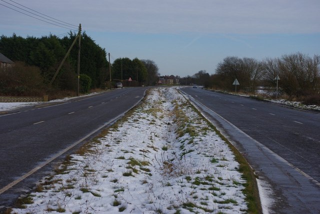
Red Newland Field, Norfolk, also known as Downs or Moorland, is a picturesque and expansive natural area located in the county of Norfolk, England. Spanning over several acres, it is a popular destination for nature enthusiasts and outdoor adventurers.

The field is characterized by its vibrant red soil, which gives it its name, and is surrounded by rolling hills and lush greenery. The landscape is dotted with various types of vegetation, including grasses, wildflowers, and shrubs, creating a diverse and visually appealing environment.

Red Newland Field is home to a variety of wildlife, making it an ideal spot for birdwatching and animal spotting. Visitors may catch glimpses of species such as rabbits, foxes, deer, and a wide array of bird species, including kestrels, owls, and various songbirds.

With its open expanse and gentle slopes, the field is also a popular location for recreational activities such as hiking, picnicking, and kite flying. The unobstructed views of the surrounding countryside provide a serene and tranquil atmosphere, making it a perfect place for relaxation and unwinding.

Furthermore, the field is often used for local events and gatherings. It serves as a venue for festivals, community fairs, and sports activities, bringing the community together in celebration and enjoyment.

Overall, Red Newland Field, Norfolk, with its stunning natural beauty and diverse wildlife, offers visitors a chance to immerse themselves in the wonders of the countryside while providing a haven of tranquility and recreational opportunities.

If you have any feedback on the listing, please let us know in the comments section below.

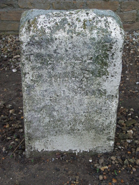
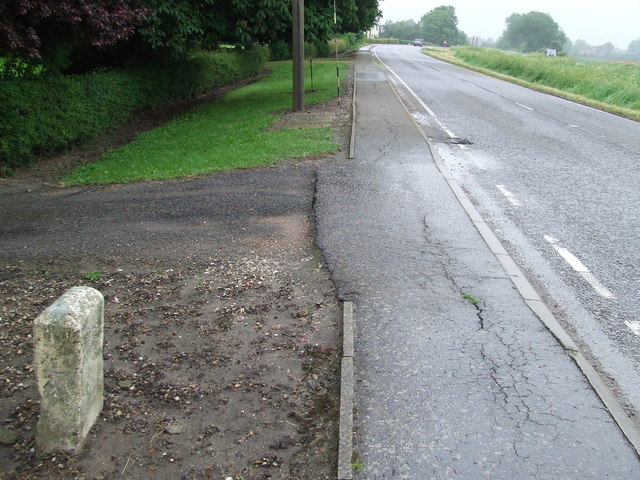
Red Newland Field Images

Images are sourced within 2km of 52.722704/0.26316174 or Grid Reference TF5216. Thanks to Geograph Open Source API. All images are credited.

Main Road, St John’s Highway This was once the A47.  Now it's an unclassified road and not really busy enough to justify its size.
Main Road, St John’s Highway
This was once the A47. Now it's an unclassified road and not really busy enough to justify its size.
Old Milestone Old milestone on what was part of the A.47 near to St.Johns Highway. For overall view see <a title="https://www.geograph.org.uk/photo/4005942" href="https://www.geograph.org.uk/photo/4005942">Link</a>
Old Milestone
Old milestone on what was part of the A.47 near to St.Johns Highway. For overall view see Link
To Wisbech 6 Miles To Lynn 7 Miles Old milestone on what was part of the A.47 near to St. Johns Highway, Norfolk. For close up view see <a title="https://www.geograph.org.uk/photo/4005926" href="https://www.geograph.org.uk/photo/4005926">Link</a>
To Wisbech 6 Miles To Lynn 7 Miles
Old milestone on what was part of the A.47 near to St. Johns Highway, Norfolk. For close up view see Link
Terrington St. John's church The 15th c. tower with 13th c. base, at one time was 16 ft distant from the church but it was joined to the nave by the ‘Priests House’, probably built in Tudor times, which gives access to the ringing chamber and nave roof from the nave. A walk around the building will reveal, unusually,  that there were low side windows in the north and south walls. Dating from the 14th c. the church is definitely the poor relation of the two Terrington churches with little of real historical interest remaining after extensive Victorian restoration and refurbishment throughout. The font is 17th c. and has floral decoration around the bowl. A flatness of the nave roof such as this is rarely encountered. The Royal Arms are of George III but are covered with discoloured plastic sheet and barely visible.
Terrington St. John's church
The 15th c. tower with 13th c. base, at one time was 16 ft distant from the church but it was joined to the nave by the ‘Priests House’, probably built in Tudor times, which gives access to the ringing chamber and nave roof from the nave. A walk around the building will reveal, unusually, that there were low side windows in the north and south walls. Dating from the 14th c. the church is definitely the poor relation of the two Terrington churches with little of real historical interest remaining after extensive Victorian restoration and refurbishment throughout. The font is 17th c. and has floral decoration around the bowl. A flatness of the nave roof such as this is rarely encountered. The Royal Arms are of George III but are covered with discoloured plastic sheet and barely visible.
Terrington St John: Five Mile Drain
Walpole St Andrew, Bustards Farm: Ploughed field
Walpole St Andrew: Ploughed field
Terrington St John, St. John's Church: Southern aspect
Terrington St John, St. John's Church: The tower, southern aspect
Terrington St John, St. John's Church: Western aspect
Terrington St John, St. John's Church: The nave, western aspect
Terrington St John, St. John's Church: The nave, west doorway
Terrington St John, St. John's Church: The nave, west window
Terrington St John, St. John's Church: Eastern aspect
Cobblers Lane This single track lane is in farmland near Terrington St John. It is pleasant in summer, but desolate in winter.
Cobblers Lane
This single track lane is in farmland near Terrington St John. It is pleasant in summer, but desolate in winter.
Terrington St John church The church at Terrington St John is still used, but as part of a team parish. In this part of Norfolk every village has a church, and each one is a treasure.
Terrington St John church
The church at Terrington St John is still used, but as part of a team parish. In this part of Norfolk every village has a church, and each one is a treasure.
Drain, Terrington St John These drains were dug to keep the land from becoming a quagmire, but a succession of dry winters and summers has made sure that they are hardly ever full.
Drain, Terrington St John
These drains were dug to keep the land from becoming a quagmire, but a succession of dry winters and summers has made sure that they are hardly ever full.
Show me another place!

Red Newland Field is located at Grid Ref: TF5216 (Lat: 52.722704, Lng: 0.26316174)

Administrative County: Norfolk

District: King's Lynn and West Norfolk

Police Authority: Norfolk

What 3 Words

///hinders.slick.financial. Near Terrington St John, Norfolk

Related Wikis

Terrington St John

Terrington St John is a village and civil parish in the English county of Norfolk. The village lies to the south of the route of the A47 between Peterborough...

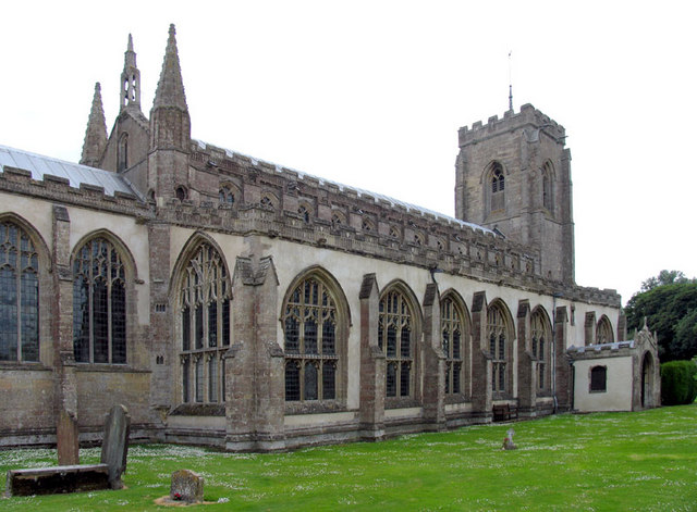
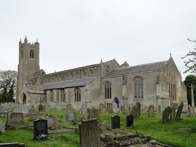
St Peter's Church, Walpole St Peter

St Peter's Church is an active Anglican parish church in Walpole St Peter, Norfolk, England. One of the largest churches in the county, it is known as...

Walpole Highway

Walpole Highway is a village and civil parish in the English county of Norfolk. It covers an area of 10.48 km2 (4.05 sq mi) and had a population of 685...

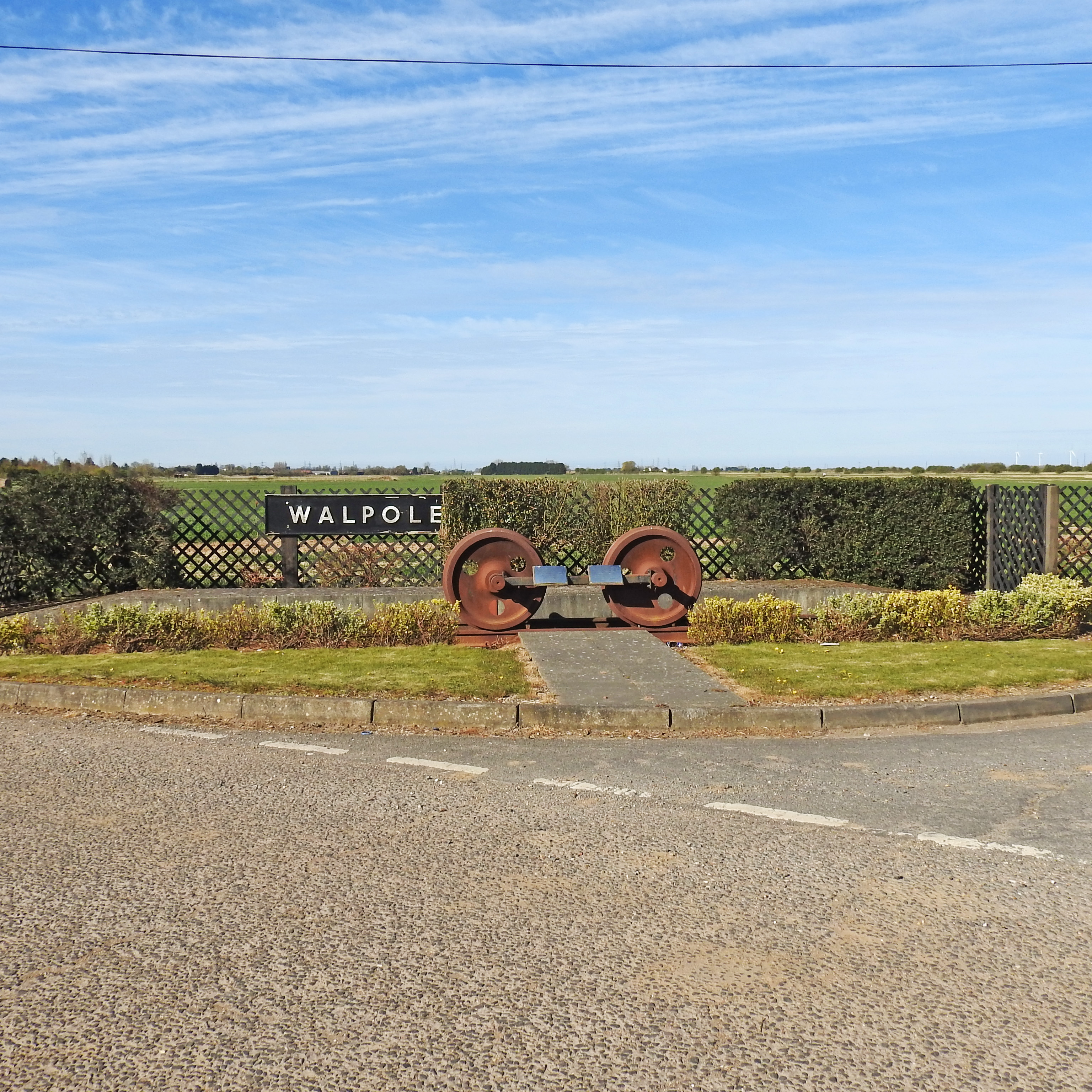
Walpole railway station (England)

Walpole railway station was a station in Norfolk. It is now disused. First opened in 1882, it was part of the Midland and Great Northern Joint Railway...

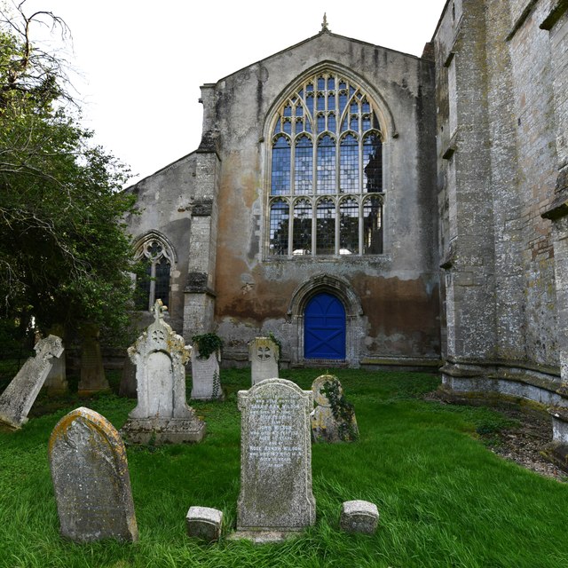
St Andrew's Church, Walpole

St Andrew's Church is a redundant Anglican church in the village of Walpole, Norfolk, England. It is recorded in the National Heritage List for England...

Tilney St Lawrence

Tilney St Lawrence is a village and a civil parish in the English county of Norfolk The village is 52.3 miles (84.2 km) west of Norwich, 9.7 miles (15...

Walpole, Norfolk

Walpole is a civil parish in Norfolk, England. The parish includes the conjoined villages of Walpole St Andrew and Walpole St Peter. Walpole Highway and...

Terrington railway station

Terrington railway station is a former station in Terrington St Clement, Norfolk. It opened in 1866 and was closed in 1959. It was on the Midland and Great...

Nearby Amenities

Located within 500m of 52.722704,0.26316174
Power: tower
Ref: 4VV 15
Lat/Long: 52.721733/0.26629
Power: tower
Ref: 4VV 14
Lat/Long: 52.721168/0.260625
Red Newland Field
Place: locality
Lat/Long: 52.7228346/0.2629408
The data included in this document is from www.openstreetmap.org. The data is made available under ODbL.

Have you been to Red Newland Field?

Leave your review of Red Newland Field below (or comments, questions and feedback).