Coldharbour Meadows

Downs, Moorland in Sussex Wealden

England

Coldharbour Meadows

The church without dedication, East Hoathly
The church without dedication, East Hoathly Credit: Stephen Dawson

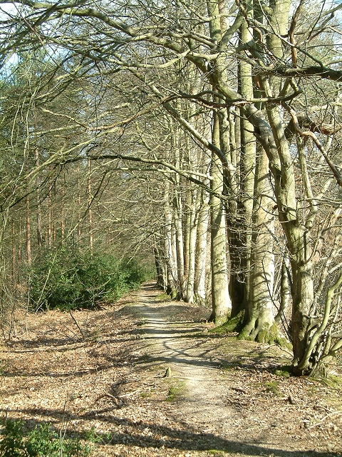
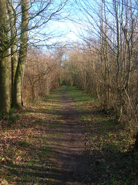
Coldharbour Meadows is a picturesque natural reserve located in Sussex, England. Situated amidst the stunning beauty of the Sussex Downs and Moorland, this idyllic spot covers an area of approximately 100 acres. It is renowned for its diverse and rich wildlife, offering visitors a unique opportunity to immerse themselves in the natural wonders of the region.

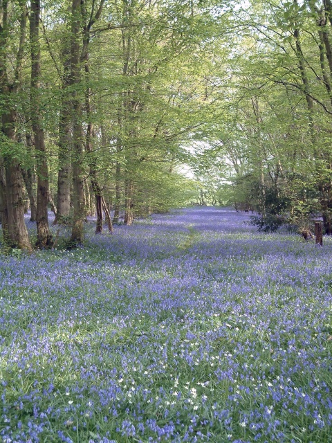
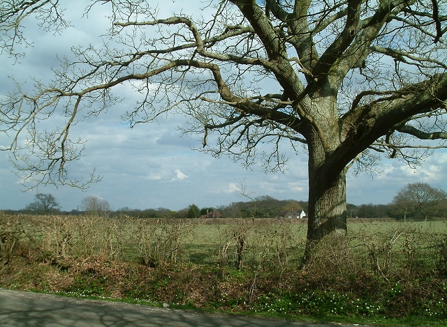
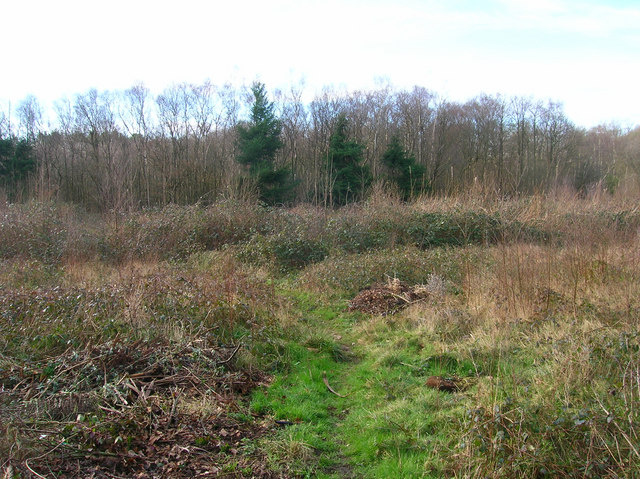
The meadows are characterized by gently rolling hills and verdant grasslands, providing a serene and tranquil environment for all who visit. The area is predominantly covered in wildflowers, creating a vibrant and colorful landscape. Visitors can witness an array of species, including rare and endangered plants such as orchids and cowslips, which thrive in this habitat.

In addition to its floral abundance, Coldharbour Meadows is home to a wide variety of animals and insects. Numerous species of butterflies, bees, and other pollinators can be spotted fluttering from flower to flower, enhancing the visual spectacle of the meadows. Bird enthusiasts will be delighted to find a diverse avian population, with species such as skylarks, buzzards, and kestrels soaring above.

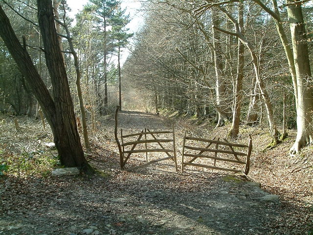
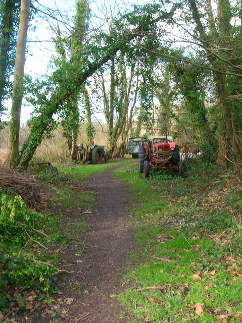
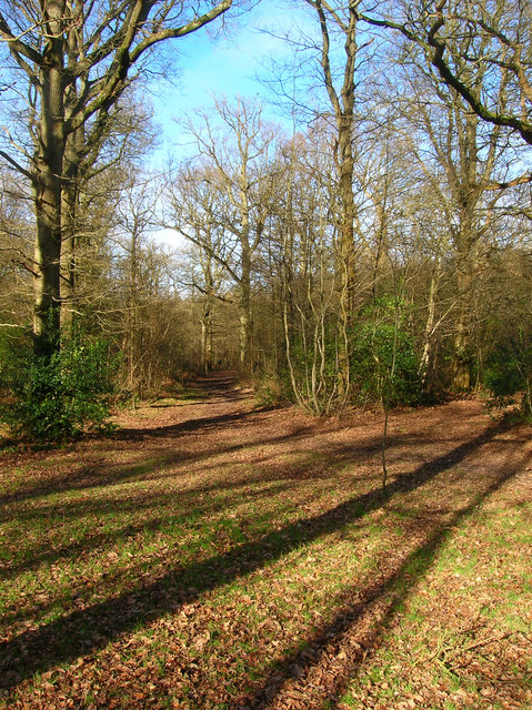
The reserve offers several walking paths and trails, allowing visitors to explore the meadows at their own pace. Interpretive signage is strategically placed throughout the area to provide educational information about the flora and fauna found in Coldharbour Meadows.

Coldharbour Meadows is not only a haven for nature lovers but also serves as an essential conservation site. Its protection and preservation efforts are crucial in maintaining the unique and fragile ecosystems found within the Sussex Downs and Moorland.

If you have any feedback on the listing, please let us know in the comments section below.

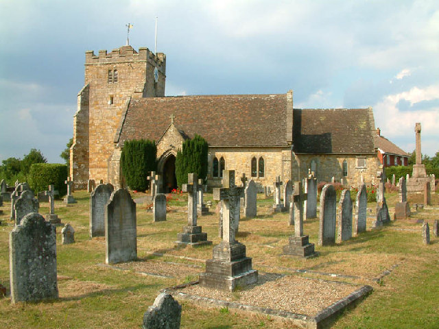
Coldharbour Meadows Images

Images are sourced within 2km of 50.911256/0.1747552 or Grid Reference TQ5214. Thanks to Geograph Open Source API. All images are credited.

The church without dedication, East Hoathly
Chiddingly Church With a spire of 128'.
Chiddingly Church
With a spire of 128'.
Gray Wood Gray Wood, East Hoathly - in late April the Wood is anything but gray!  The woodland in private, but can be viewed from the Vanguard Way footpath.
Gray Wood
Gray Wood, East Hoathly - in late April the Wood is anything but gray! The woodland in private, but can be viewed from the Vanguard Way footpath.
Woodbank at Rowlands Wood This historic wooded bank, with many mature beech and hornbeam trees forms the southern boundary of Rowlands Wood, and also bounds the site of the Butterfly Conservation Nature Reserve where traditional coppicing and heathland management takes place.
Woodbank at Rowlands Wood
This historic wooded bank, with many mature beech and hornbeam trees forms the southern boundary of Rowlands Wood, and also bounds the site of the Butterfly Conservation Nature Reserve where traditional coppicing and heathland management takes place.
Hedgerow Oak at Whitesmith Low Weald landscape looking towards Randall's Farm, with Chiddingly Church in the distance.
Hedgerow Oak at Whitesmith
Low Weald landscape looking towards Randall's Farm, with Chiddingly Church in the distance.
Line of Trees on historic Boundary bank Old Beech and Hornbeam trees on woodbank at Rowlands Wood, Park Corner.
Line of Trees on historic Boundary bank
Old Beech and Hornbeam trees on woodbank at Rowlands Wood, Park Corner.
Mile marker East Hoathly 48 Miles to Bow Bells
Mile marker East Hoathly
48 Miles to Bow Bells
The Old Toll House, Muddles Green The lane in muddles Green is not a major artery so I am assuming this was for tolls to use the turnpike that is now the A22 a little to the south of this hamlet. At one point this was also a shoe shop.
The Old Toll House, Muddles Green
The lane in muddles Green is not a major artery so I am assuming this was for tolls to use the turnpike that is now the A22 a little to the south of this hamlet. At one point this was also a shoe shop.
Chiddingly County Primary School Located in the hamlet of Muddles Green which is within the parish of Chiddingly.
Chiddingly County Primary School
Located in the hamlet of Muddles Green which is within the parish of Chiddingly.
Oast House, Holdens Farm The rather dreary day has obscured the view to Chiddingly church, whose spire can be viewed between the oast house and tree.
Oast House, Holdens Farm
The rather dreary day has obscured the view to Chiddingly church, whose spire can be viewed between the oast house and tree.
Moat, Moat Wood The remnants of an medieval settlement possibly a farmstead or a hunting lodge. The island is to the right of the water. Moat Wood is joint owned by East Hoathly parish council and the Woodland Trust.
Moat, Moat Wood
The remnants of an medieval settlement possibly a farmstead or a hunting lodge. The island is to the right of the water. Moat Wood is joint owned by East Hoathly parish council and the Woodland Trust.
Footpath, Moat Wood Taken from the entrance near the A22. Moat Wood is owned jointly by East Hoathly parish council and the Woodland Trust. Its wildlife includes Black Adders and Nightingales.
Footpath, Moat Wood
Taken from the entrance near the A22. Moat Wood is owned jointly by East Hoathly parish council and the Woodland Trust. Its wildlife includes Black Adders and Nightingales.
Moat Wood This view is from the footpath near to the East Hoathly entrance.
Moat Wood
This view is from the footpath near to the East Hoathly entrance.
Tractor's Graveyard There are a couple more vehicles out of shot lining the footpath from East Hoathly into Moat Wood.
Tractor's Graveyard
There are a couple more vehicles out of shot lining the footpath from East Hoathly into Moat Wood.
Moat Wood Jointly owned by East Hoathly parish council and the Woodland Trust and home to such wildlife as Black Adders and Nightingales. This part of the open access wood heads north westwards away from the moat.
Moat Wood
Jointly owned by East Hoathly parish council and the Woodland Trust and home to such wildlife as Black Adders and Nightingales. This part of the open access wood heads north westwards away from the moat.
Field near Tourle's Farm An outbuilding can be seen on the ridge to the right. Somewhere to the right a footpath leads up there but is overgrown and impassable.
Field near Tourle's Farm
An outbuilding can be seen on the ridge to the right. Somewhere to the right a footpath leads up there but is overgrown and impassable.
Derelict Depot Currently fenced off awaiting development. The footpath hugs the back of the depot then turns south to the left of the photographer.
Derelict Depot
Currently fenced off awaiting development. The footpath hugs the back of the depot then turns south to the left of the photographer.
Inside the Derelict Depot. Taken from the footpath on the northern side of the depot (see <a href="https://www.geograph.org.uk/photo/323319">TQ5215 : Derelict Depot</a> ) the inside of which seems to be a children's playground.
Inside the Derelict Depot.
Taken from the footpath on the northern side of the depot (see TQ5215 : Derelict Depot ) the inside of which seems to be a children's playground.
Show me another place!

Coldharbour Meadows is located at Grid Ref: TQ5214 (Lat: 50.911256, Lng: 0.1747552)

Administrative County: East Sussex

District: Wealden

Police Authority: Sussex

What 3 Words

///flattery.claps.submerged. Near Horam, East Sussex

Related Wikis

Whitesmith maze

A plantation of willows near Whitesmith, East Sussex, in England forms a maze in the shape of a quotation from the Bible. The maze was planted by local...

Chiddingly

Chiddingly ( CHID-ing-lye) is an English village and civil parish in the Wealden District of the administrative county of East Sussex, within historic...

East Hoathly with Halland

East Hoathly with Halland is a civil parish in the Wealden District of East Sussex, England. The parish contains the two villages of East Hoathly and...

Park Corner Heath

Park Corner Heath is a 2.9-hectare (7.2-acre) biological Site of Special Scientific Interest about 1.2 miles (2 km) south of East Hoathly, adjacent to...

Burgh Hill Farm Meadow

Burgh Hill Farm Meadow is a 0.9-hectare (2.2-acre) biological Site of Special Scientific Interest west of Hailsham in East Sussex.This meadow is managed...

Farleys House

Farleys House near Chiddingly, East Sussex, has been converted into a museum and archive featuring the lives and work of its former residents, the photographer...

Golden Cross, East Sussex

Golden Cross is a small village in the Wealden district of East Sussex, England. Its nearest town is Hailsham, which lies approximately 3+1⁄2 miles (6...

Laughton, East Sussex

Laughton is a village and civil parish in the Wealden district of East Sussex, England. The village is located five miles (8 km) east of Lewes, at a junction...

Nearby Amenities

Located within 500m of 50.911256,0.1747552
Highlands Farm
Place: farm
Source Name: OS_OpenData_Streetview
Lat/Long: 50.9133836/0.1793539
Coldharbour Farm
Place: farm
Source Name: OS_OpenData_Streetview
Lat/Long: 50.9131266/0.1759744
The data included in this document is from www.openstreetmap.org. The data is made available under ODbL.

Have you been to Coldharbour Meadows?

Leave your review of Coldharbour Meadows below (or comments, questions and feedback).