Holt Fen
Downs, Moorland in Cambridgeshire East Cambridgeshire
England
Holt Fen
Holt Fen, located in Cambridgeshire, England, is a diverse and picturesque area known for its unique blend of downs and moorland landscapes. Covering an approximate area of several hundred acres, this nature reserve offers visitors a tranquil escape from the hustle and bustle of urban life.
The downs of Holt Fen are characterized by gently rolling hills covered in lush grasses and wildflowers. These areas provide a habitat for a variety of plant species, including rare orchids and meadow plants. The downs are also home to a diverse range of bird species, such as skylarks and lapwings, making it a popular destination for birdwatching enthusiasts.
In contrast, the moorland sections of Holt Fen offer a different landscape altogether. Here, visitors can experience the unique and captivating sight of heather-covered expanses stretching as far as the eye can see. This moorland habitat is rich in biodiversity, supporting a host of wildlife, including adders, lizards, and various invertebrates.
The reserve is also crisscrossed by a network of footpaths and trails, allowing visitors to explore the area at their own pace. These paths provide excellent opportunities for hiking and walking, with stunning panoramic views of the surrounding countryside.
Holt Fen is managed by conservation organizations, ensuring the preservation of its natural beauty and the protection of its diverse ecosystem. Whether you are a nature enthusiast, a photographer, or simply seeking solace in nature, Holt Fen offers an enchanting and serene experience for all who visit.
If you have any feedback on the listing, please let us know in the comments section below.
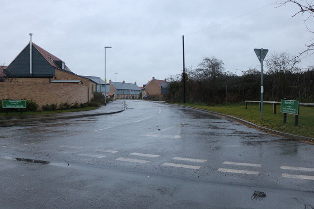
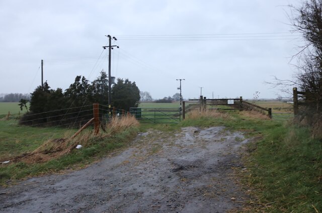
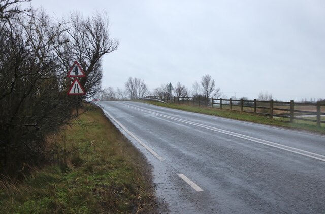
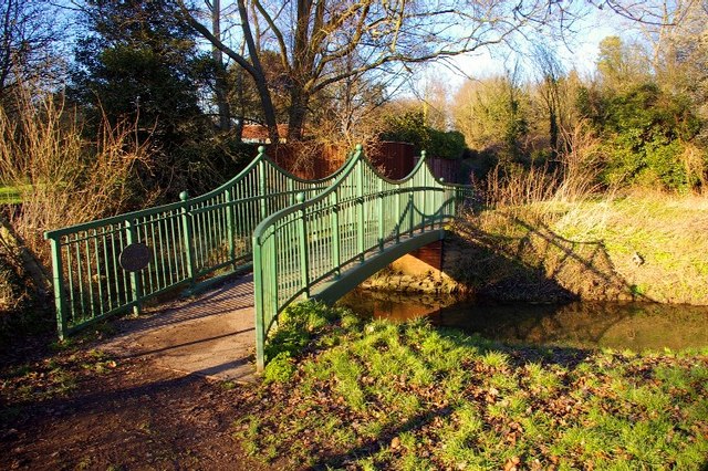
Holt Fen Images
Images are sourced within 2km of 52.34469/0.24544727 or Grid Reference TL5374. Thanks to Geograph Open Source API. All images are credited.


Holt Fen is located at Grid Ref: TL5374 (Lat: 52.34469, Lng: 0.24544727)
Division: Isle of Ely
Administrative County: Cambridgeshire
District: East Cambridgeshire
Police Authority: Cambridgeshire
What 3 Words
///pits.formless.reunion. Near Stretham, Cambridgeshire
Related Wikis

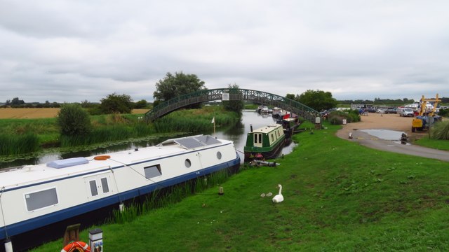
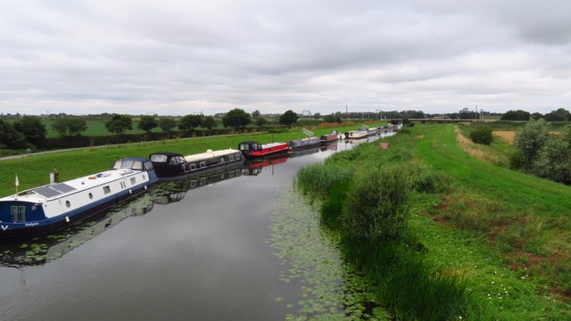
River Cam
The River Cam () is the main river flowing through Cambridge in eastern England. After leaving Cambridge, it flows north and east before joining the River...
River Granta
The River Granta is the name of two of the four tributaries of the River Cam, although both names are often used synonymously. The Granta starts near the...

Thetford, Cambridgeshire
Thetford is a civil parish in the ward of Stretham, near Ely, in the East Cambridgeshire district, in the county of Cambridgeshire, England. The village...

Little Thetford
Little Thetford is a small village in the civil parish of Thetford, 3 miles (5 km) south of Ely in Cambridgeshire, England, about 76 miles (122 km) by...

Stretham
Stretham is a village and civil parish 4 miles (6 km) south-south-west of Ely in Cambridgeshire, England, about 74 miles (119 km) by road from London...

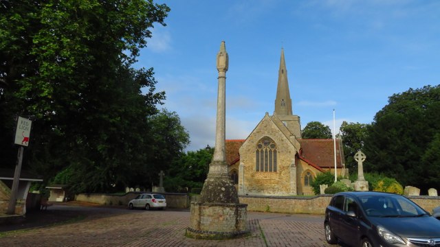
St James' Church, Stretham
St James' Church, Stretham, is an active Anglican church in the village of Stretham, Cambridgeshire, England. Founded in the 12th century, it was heavily...

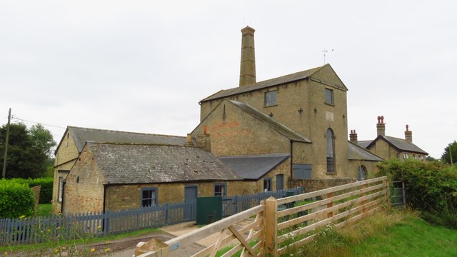
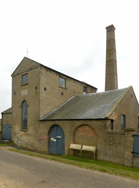
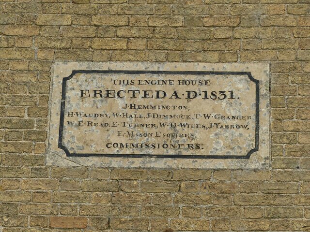
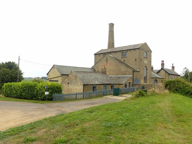
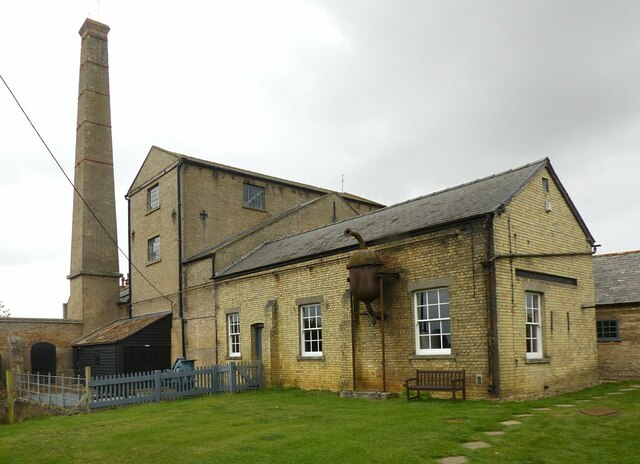
Stretham Old Engine
Stretham Old Engine is a steam-powered engine just south of Stretham in Cambridgeshire, England, that was used to pump water from flood-affected areas...

Upware North Pit
Upware North Pit is a 1.1-hectare (2.7-acre) biological Site of Special Scientific Interest north-west of Wicken in Cambridgeshire.This site has several...
Nearby Amenities
Located within 500m of 52.34469,0.24544727Have you been to Holt Fen?
Leave your review of Holt Fen below (or comments, questions and feedback).