Reed Fen
Downs, Moorland in Cambridgeshire East Cambridgeshire
England
Reed Fen
Reed Fen is a small village located in the county of Cambridgeshire, England. It is situated in the eastern part of the county, near the border with Norfolk. The village is known for its picturesque countryside, characterized by vast downs and moorland.
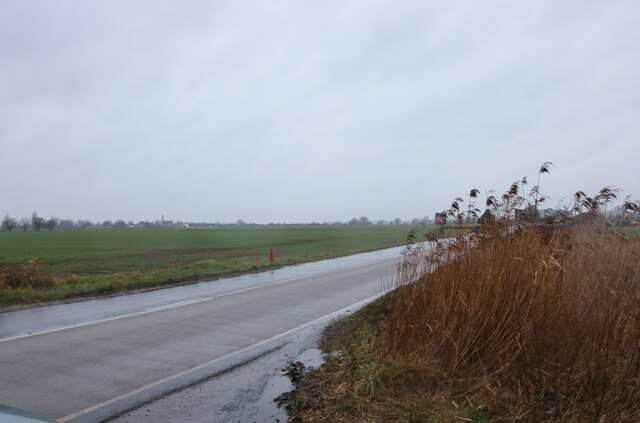
The downs of Reed Fen offer stunning views of the surrounding landscape, with rolling hills covered in lush green grass. These open spaces are perfect for outdoor activities such as hiking, picnicking, and nature walks. The downs are particularly popular among birdwatchers, as they provide an ideal habitat for a variety of bird species.
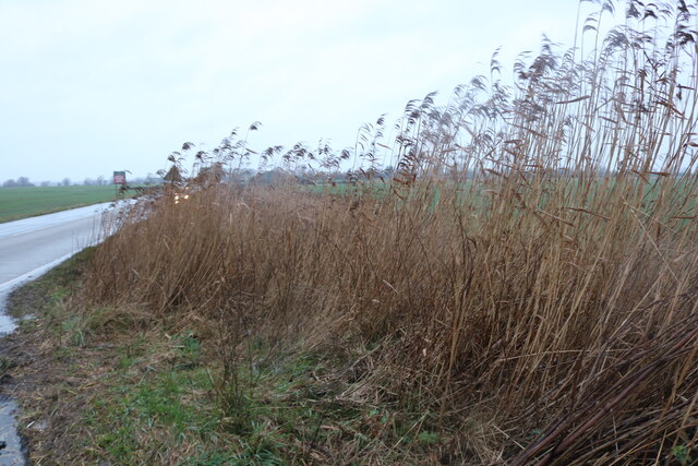
In addition to the downs, Reed Fen boasts extensive moorland areas. Moorland is characterized by low-growing vegetation, heather, and peat bogs. This unique landscape provides a home for many rare and endangered plant and animal species. Visitors to the moorland can enjoy the tranquility and beauty of this untouched natural environment.
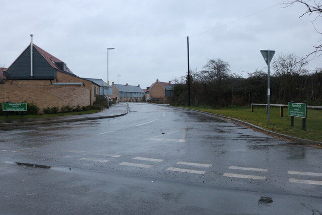
The village itself is small, with a population of approximately 500 residents. It has a charming, rural atmosphere, with traditional cottages and a quaint village green. There are a few amenities in Reed Fen, including a local pub and a small convenience store, catering to the needs of both residents and visitors.
Overall, Reed Fen is a hidden gem in Cambridgeshire, offering visitors the chance to experience the beauty of downs and moorland in a peaceful and scenic setting.
If you have any feedback on the listing, please let us know in the comments section below.
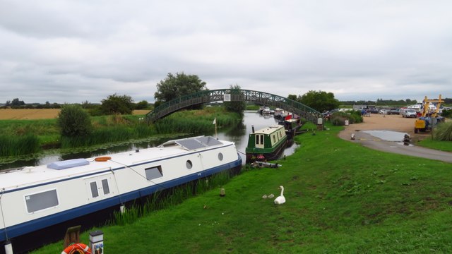
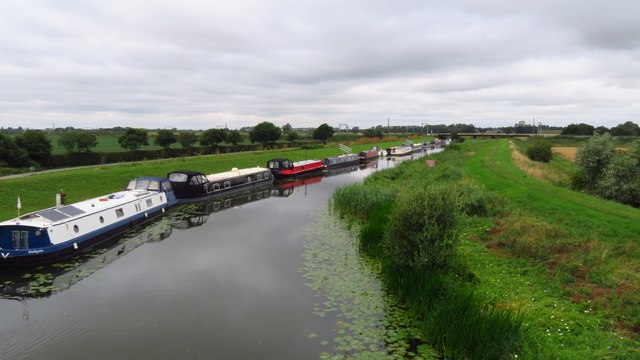
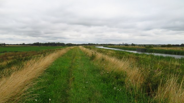
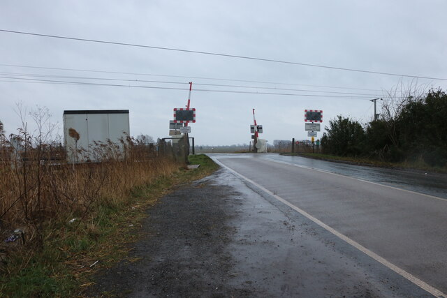
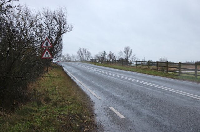
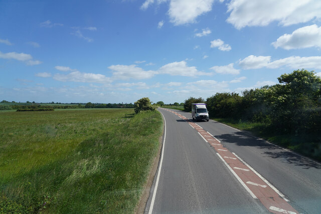
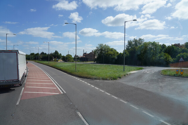
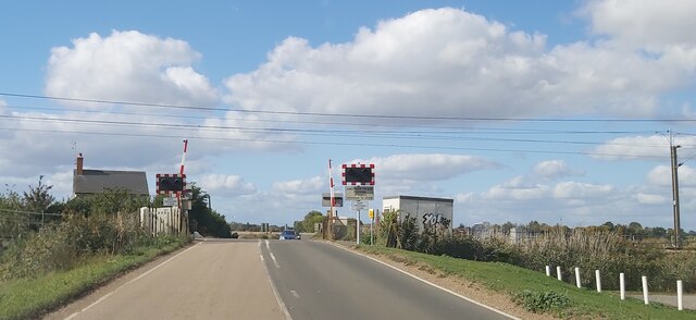
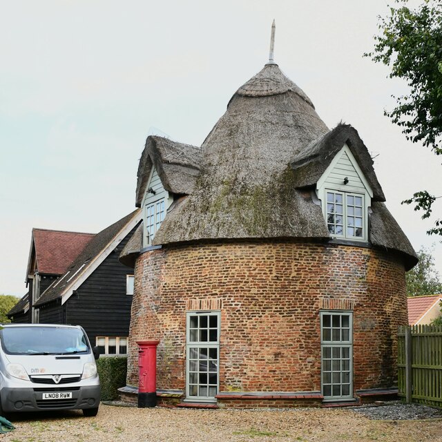
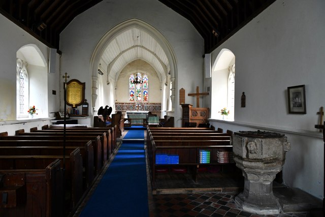
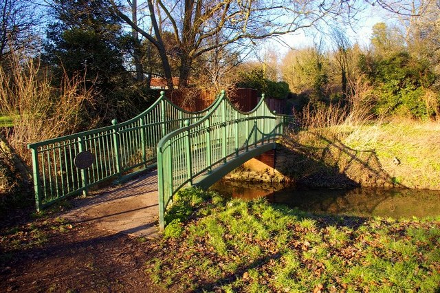
Reed Fen Images
Images are sourced within 2km of 52.35005/0.25009475 or Grid Reference TL5374. Thanks to Geograph Open Source API. All images are credited.
Reed Fen is located at Grid Ref: TL5374 (Lat: 52.35005, Lng: 0.25009475)
Division: Isle of Ely
Administrative County: Cambridgeshire
District: East Cambridgeshire
Police Authority: Cambridgeshire
What 3 Words
///encrusted.cookbooks.yarn. Near Stretham, Cambridgeshire
Related Wikis

River Cam
The River Cam () is the main river flowing through Cambridge in eastern England. After leaving Cambridge, it flows north and east before joining the River...

Little Thetford
Little Thetford is a small village in the civil parish of Thetford, 3 miles (5 km) south of Ely in Cambridgeshire, England, about 76 miles (122 km) by...
River Granta
The River Granta is the name of two of the four tributaries of the River Cam, although both names are often used synonymously. The Granta starts near the...

Thetford, Cambridgeshire
Thetford is a civil parish in the ward of Stretham, near Ely, in the East Cambridgeshire district, in the county of Cambridgeshire, England. The village...

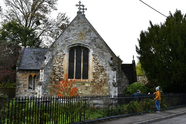
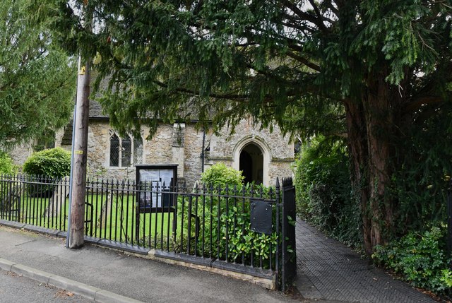
St George's Church, Little Thetford
St George's Church, Little Thetford, is an Anglican church in the village of Little Thetford, Cambridgeshire, England. == History == St. George's Church...

Barway
Barway is a hamlet in Cambridgeshire, England, about three miles south of Ely. It is on Soham Lode, which flows into the River Cam. The population is included...

Cantabrigian Rowing Club
Cantabrigian Rowing Club (), known as Cantabs, is a 'town' (or CRA) rowing and sculling club in Cambridge, UK. == History == Cantabs was founded in 1950...

Stretham
Stretham is a village and civil parish 4 miles (6 km) south-south-west of Ely in Cambridgeshire, England, about 74 miles (119 km) by road from London...
Nearby Amenities
Located within 500m of 52.35005,0.25009475Have you been to Reed Fen?
Leave your review of Reed Fen below (or comments, questions and feedback).