South Common
Downs, Moorland in Sussex Lewes
England
South Common
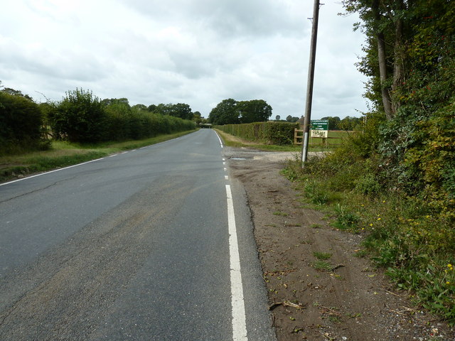
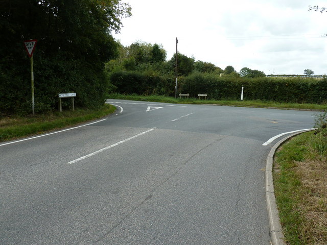
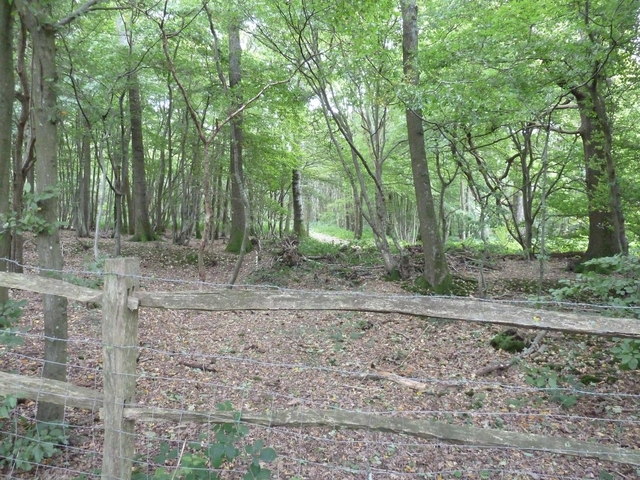
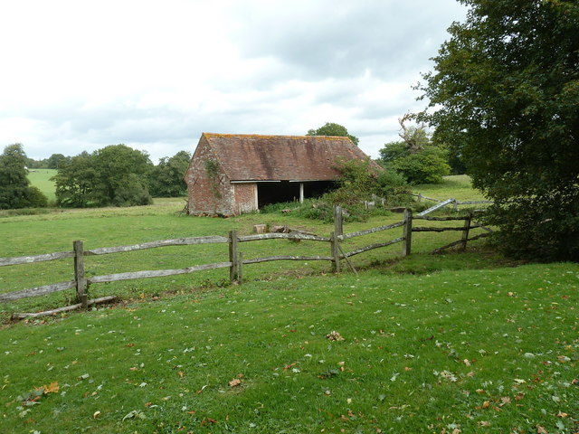
South Common, Sussex is a picturesque area located in the South Downs National Park, renowned for its natural beauty and diverse landscapes. Spanning over moorland and downs, this region offers visitors an array of scenic vistas and outdoor recreational opportunities.
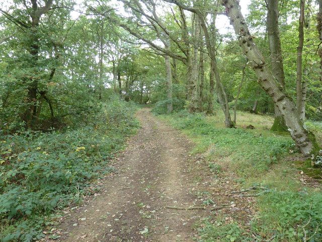
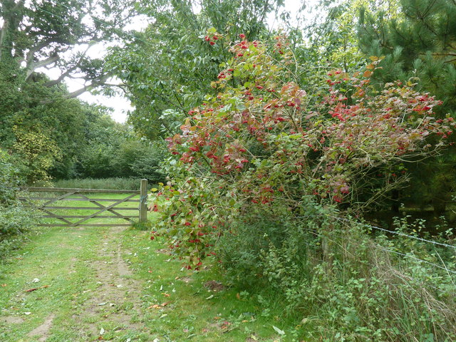
The South Common is characterized by its rolling hills, open grasslands, and expansive heathlands. These habitats support a rich variety of flora and fauna, making it a haven for nature enthusiasts. Visitors can expect to encounter an assortment of wildflowers, such as purple heather and vibrant gorse, which paint the landscape with bursts of color during the summer months.
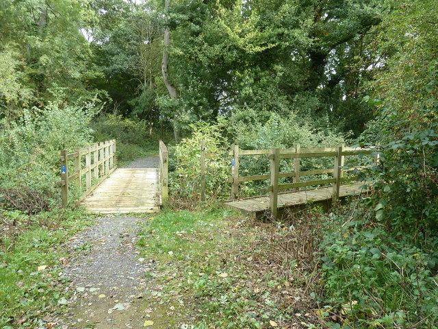
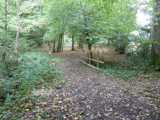
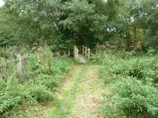
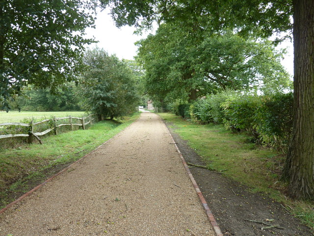
In addition to its natural beauty, South Common also boasts a network of hiking trails that wind through the countryside, providing breathtaking views of the surrounding countryside. Walking enthusiasts can explore the area's vast expanse on foot, with the opportunity to spot native wildlife, including deer, foxes, and a variety of bird species.
For those seeking a more active experience, South Common offers opportunities for mountain biking, horse riding, and even paragliding, allowing visitors to immerse themselves in the great outdoors.
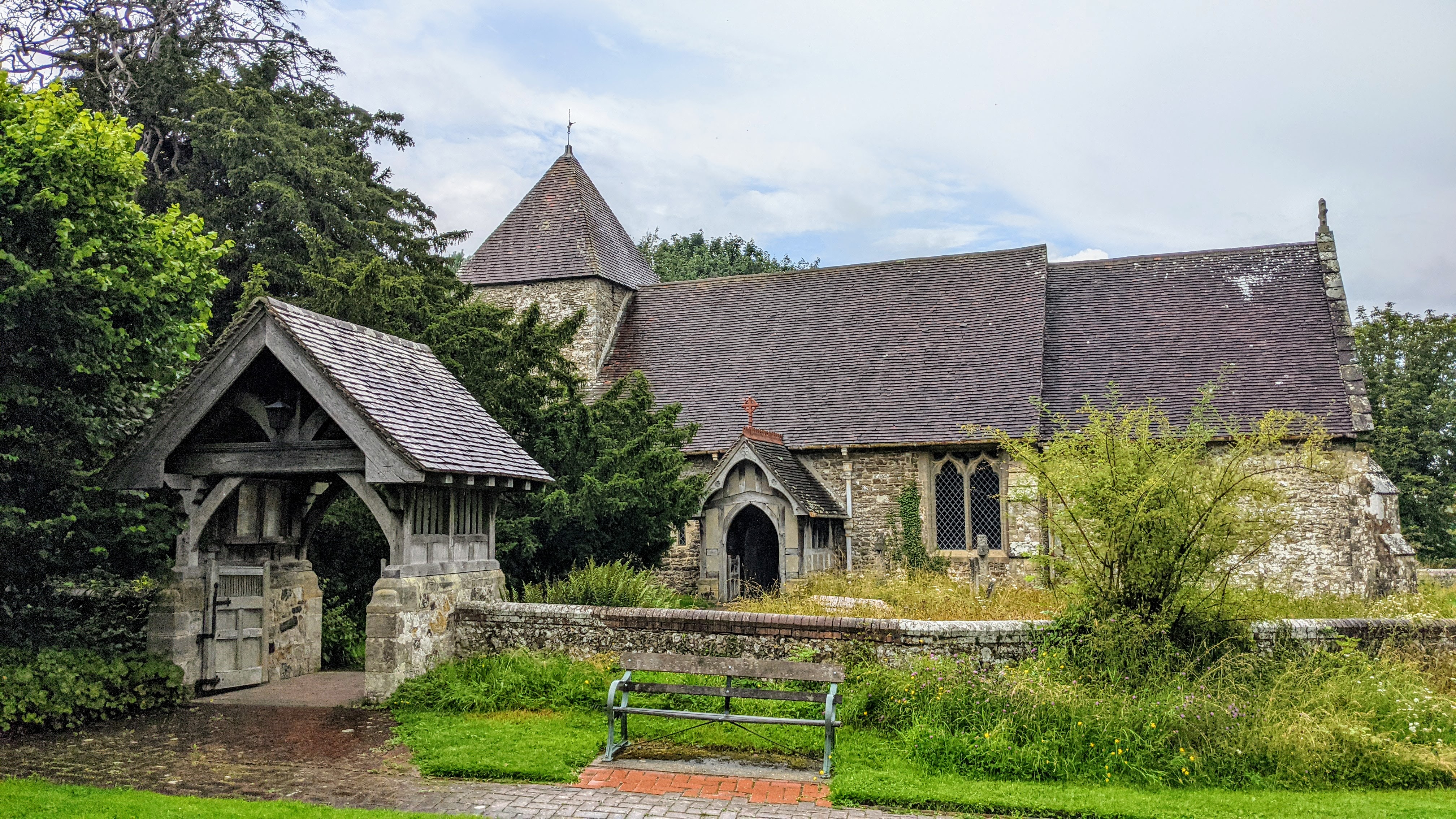
The South Common is also home to historical landmarks, such as ancient burial mounds and Iron Age hillforts, providing a glimpse into the region's past. Additionally, the area is dotted with charming villages and traditional pubs, where visitors can indulge in local cuisine and experience the warm hospitality of the community.
Overall, South Common, Sussex is a captivating destination that combines natural beauty, outdoor activities, and historical significance, making it an ideal place for nature lovers, history enthusiasts, and adventure seekers alike.
If you have any feedback on the listing, please let us know in the comments section below.
South Common Images
Images are sourced within 2km of 50.942606/-0.025579317 or Grid Reference TQ3817. Thanks to Geograph Open Source API. All images are credited.


South Common is located at Grid Ref: TQ3817 (Lat: 50.942606, Lng: -0.025579317)
Administrative County: East Sussex
District: Lewes
Police Authority: Sussex
What 3 Words
///bulletins.bloodshot.sobered. Near South Chailey, East Sussex
Nearby Locations
Related Wikis

Chailey School
Chailey Secondary School opened in April 1958, is a comprehensive secondary school located in the village of South Chailey, Chailey, just outside Lewes...

Chailey Moat
Chailey Moat is a Grade II listed building near the village of Chailey, East Sussex. It is a 16th-century moated two storey house with an 18th-century...

Chailey
Chailey is a village and civil parish in the Lewes District of East Sussex, England. It is located 7 miles north of Lewes, on the A272 road from Winchester...

RAF Chailey
RAF Chailey was a Royal Air Force Advanced Landing Ground close to the village of Chailey near Burgess Hill in East Sussex during the Second World War...
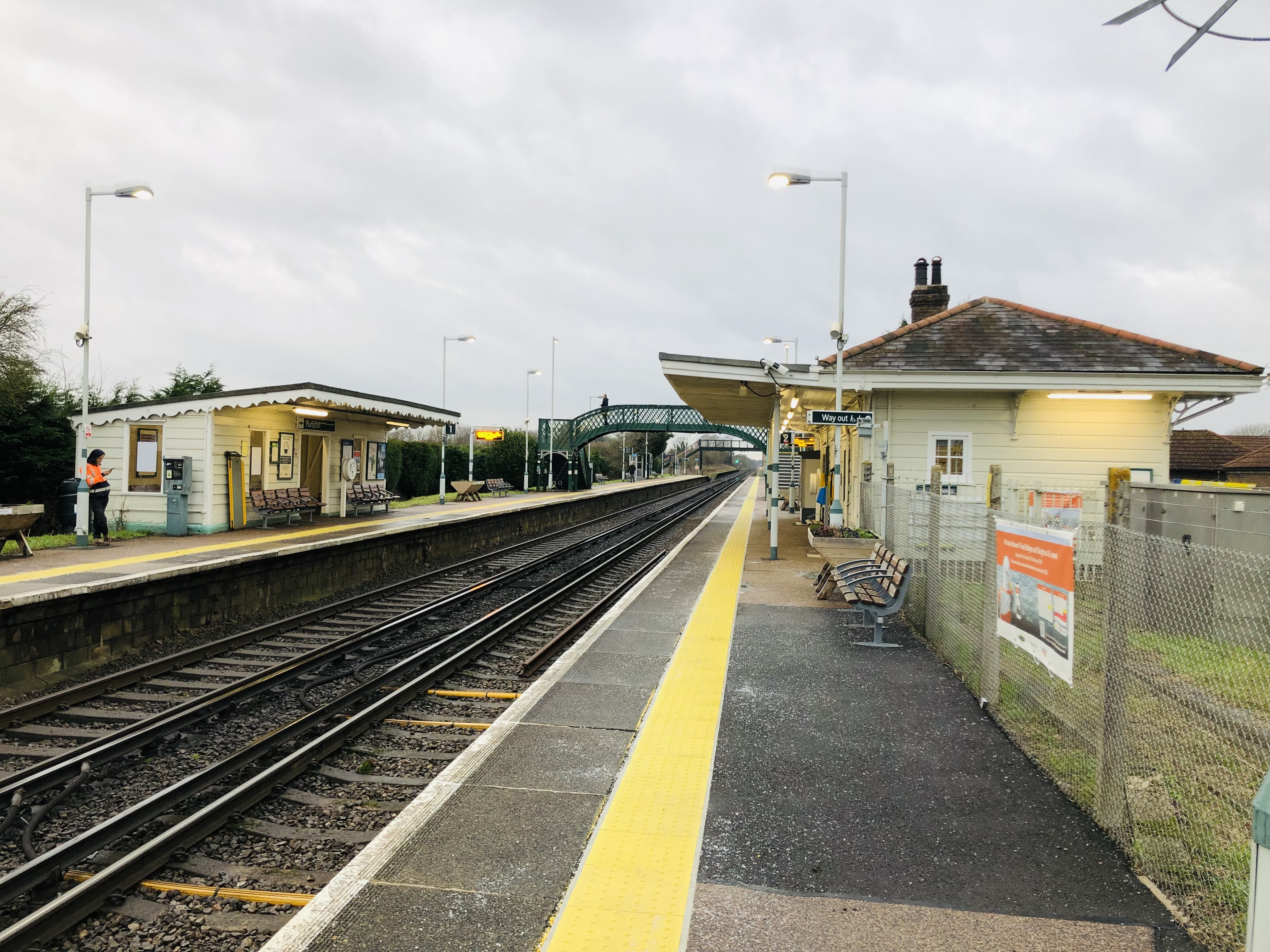
Plumpton railway station
Plumpton railway station serves the village of Plumpton in East Sussex, England. It is 44 miles 42 chains (71.7 km) from London Bridge via Redhill. Train...
East Chiltington
East Chiltington is a village and civil parish in the Lewes District of East Sussex, England. It is centred four miles (5.9 km) south-east of Burgess Hill...
Plumpton Racecourse
Plumpton Racecourse is a National Hunt racecourse in the village of Plumpton, East Sussex near Lewes and Brighton. Racing first took place at Plumpton...
Chailey Heritage School
Chailey Heritage School is a special school located in North Chailey, East Sussex, England. It is owned and operated by the Chailey Heritage Foundation...
Nearby Amenities
Located within 500m of 50.942606,-0.025579317Have you been to South Common?
Leave your review of South Common below (or comments, questions and feedback).