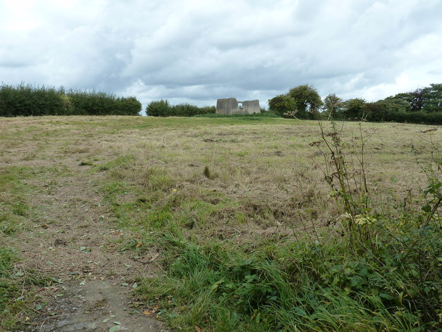
Draper's Wood
Wood, Forest in Sussex Lewes
England
Draper's Wood
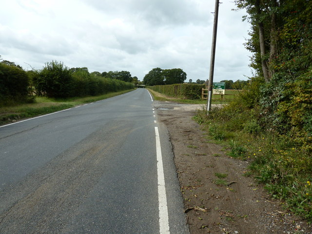
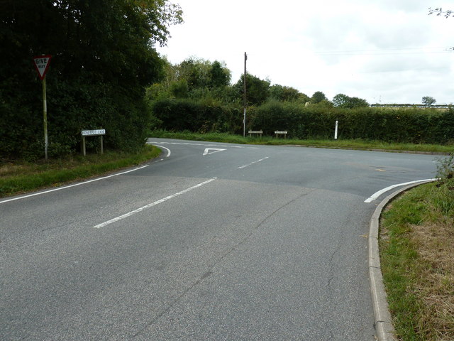
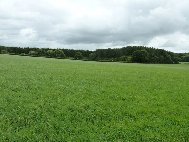
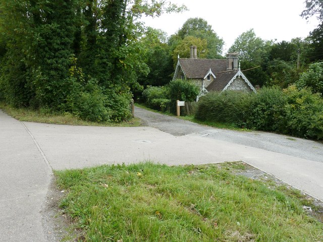
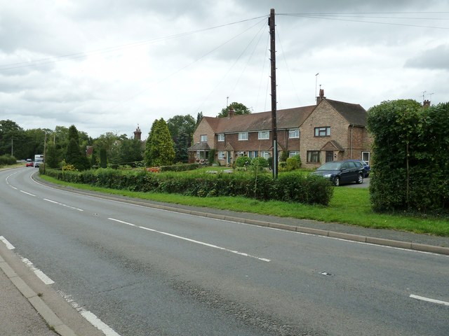
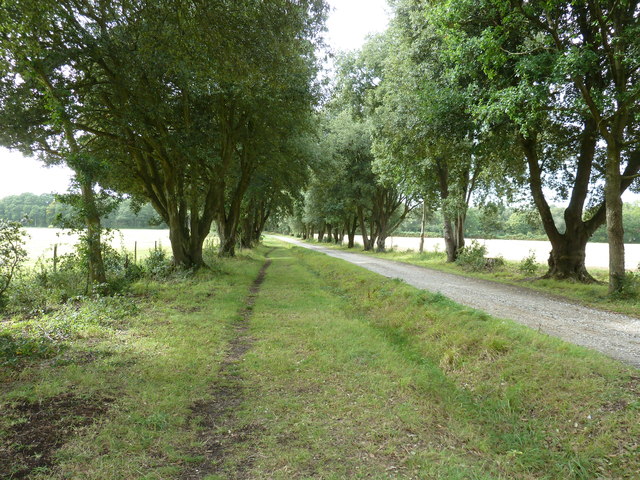
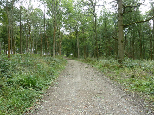
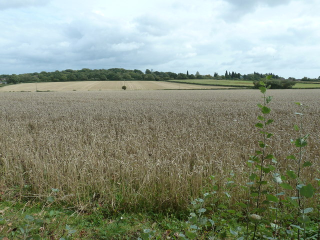
Draper's Wood is a picturesque forest located in Sussex, England. Covering an area of approximately 100 acres, it is a popular destination for nature enthusiasts and outdoor lovers. The wood is nestled in a rural setting, surrounded by rolling hills and meadows, creating a tranquil and peaceful atmosphere.
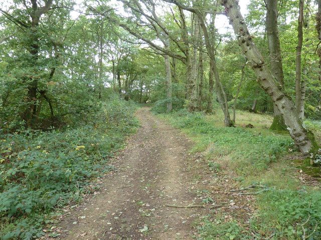
The woodland is primarily composed of native broadleaf trees, including oak, beech, and ash. These tall, majestic trees provide a dense canopy, casting dappled sunlight onto the forest floor. The undergrowth is abundant with ferns, bluebells, and wildflowers, creating a vibrant and colorful display during the spring and summer months.
Draper's Wood is home to a diverse range of wildlife. The dense vegetation offers a safe haven for numerous bird species, including woodpeckers, owls, and warblers. Squirrels and rabbits can be seen darting through the underbrush, while foxes and deer occasionally roam the outskirts of the woodland.
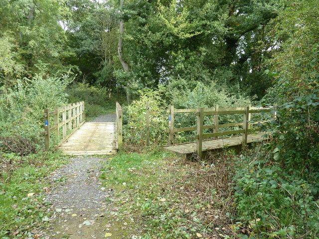
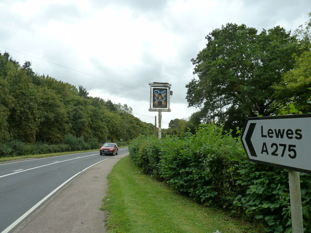
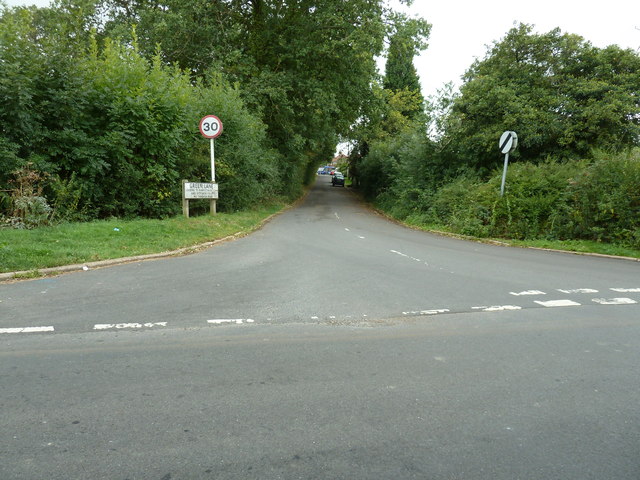
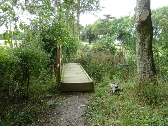
The wood is crisscrossed by a network of well-maintained footpaths, allowing visitors to explore the forest at their own pace. These paths lead to scenic viewpoints, hidden clearings, and a small river that meanders through the wood, adding to its charm and natural beauty.
Draper's Wood is a designated nature reserve, managed by a local conservation organization. They strive to protect and preserve the woodland's unique ecosystem, ensuring its long-term sustainability and providing educational opportunities for the public.
Overall, Draper's Wood is a captivating natural haven, offering a retreat from the hustle and bustle of everyday life and providing a glimpse into the beauty of Sussex's countryside.
If you have any feedback on the listing, please let us know in the comments section below.
Draper's Wood Images
Images are sourced within 2km of 50.936283/-0.024509218 or Grid Reference TQ3817. Thanks to Geograph Open Source API. All images are credited.

Draper's Wood is located at Grid Ref: TQ3817 (Lat: 50.936283, Lng: -0.024509218)
Administrative County: East Sussex
District: Lewes
Police Authority: Sussex
What 3 Words
///drifter.twists.providing. Near South Chailey, East Sussex
Nearby Locations
Related Wikis

Chailey School
Chailey Secondary School opened in April 1958, is a comprehensive secondary school located in the village of South Chailey, Chailey, just outside Lewes...

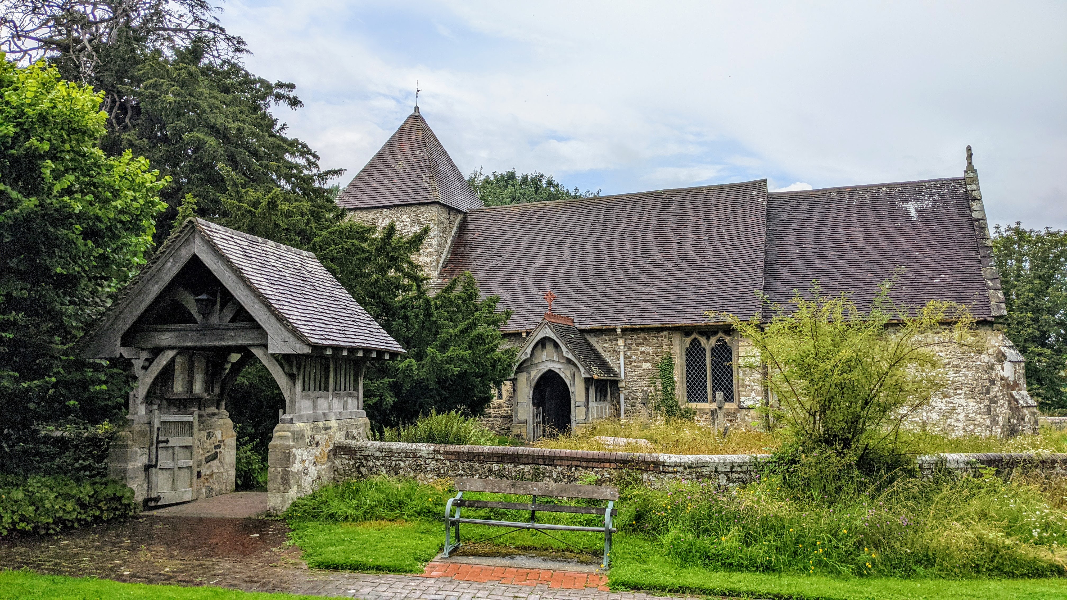
Chailey Moat
Chailey Moat is a Grade II listed building near the village of Chailey, East Sussex. It is a 16th-century moated two storey house with an 18th-century...
East Chiltington
East Chiltington is a village and civil parish in the Lewes District of East Sussex, England. It is centred four miles (5.9 km) south-east of Burgess Hill...
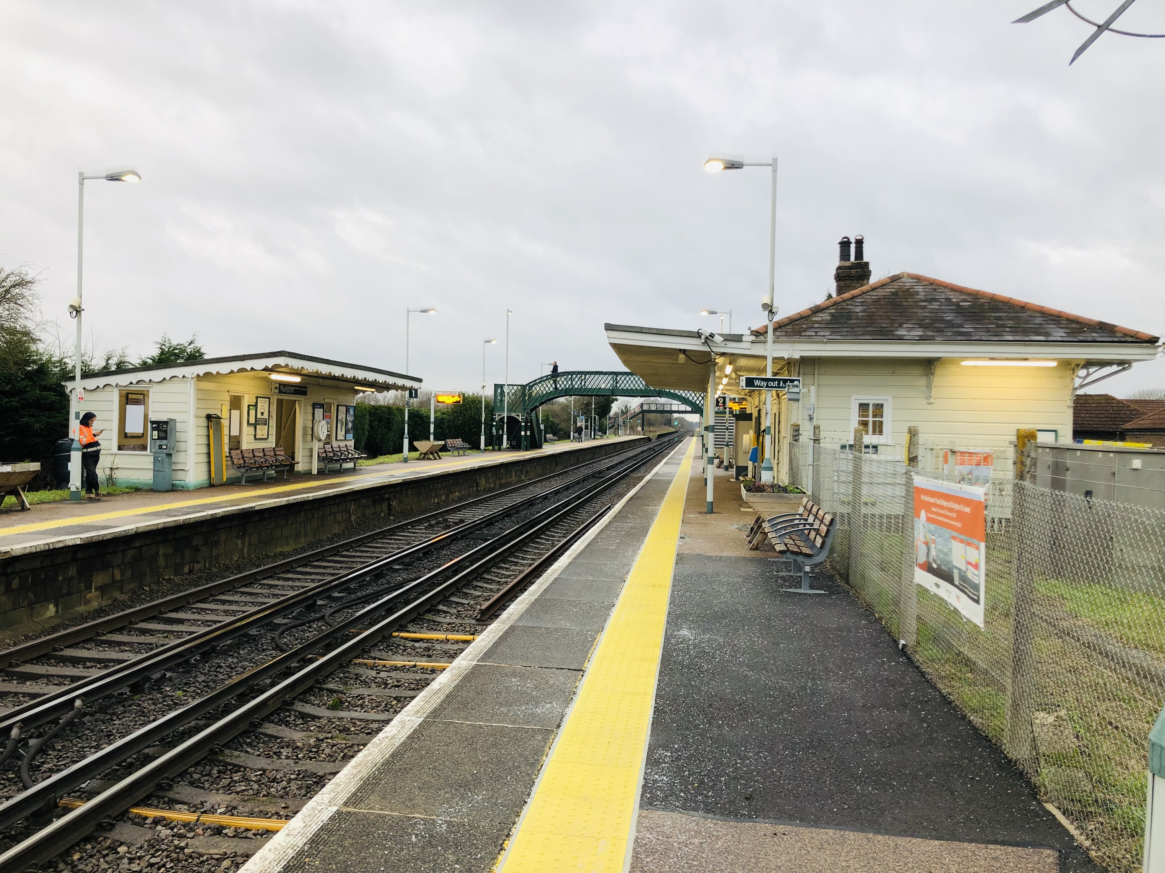
Plumpton railway station
Plumpton railway station serves the village of Plumpton in East Sussex, England. It is 44 miles 42 chains (71.7 km) from London Bridge via Redhill. Train...

Chailey
Chailey is a village and civil parish in the Lewes District of East Sussex, England. It is located 7 miles north of Lewes, on the A272 road from Winchester...
Plumpton Racecourse
Plumpton Racecourse is a National Hunt racecourse in the village of Plumpton, East Sussex near Lewes and Brighton. Racing first took place at Plumpton...

St John Without
St John Without is a small civil parish in the Lewes District of East Sussex, England, covering an area to the north-west of the town of Lewes. Much...

RAF Chailey
RAF Chailey was a Royal Air Force Advanced Landing Ground close to the village of Chailey near Burgess Hill in East Sussex during the Second World War...
Nearby Amenities
Located within 500m of 50.936283,-0.024509218Have you been to Draper's Wood?
Leave your review of Draper's Wood below (or comments, questions and feedback).